Plizio Visual Lab
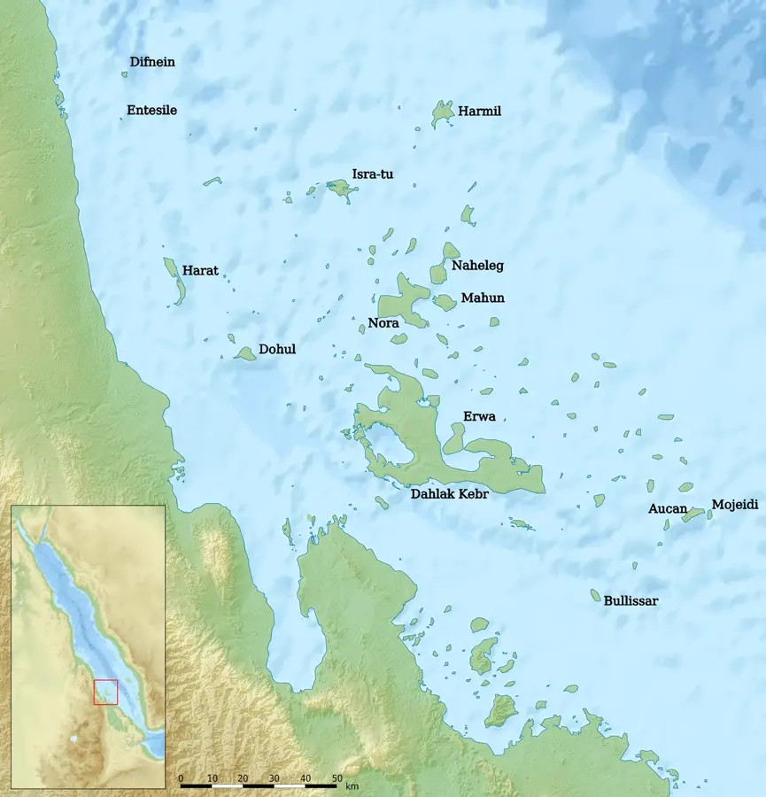
Mersa Fatma
Weather…
Water temperature…
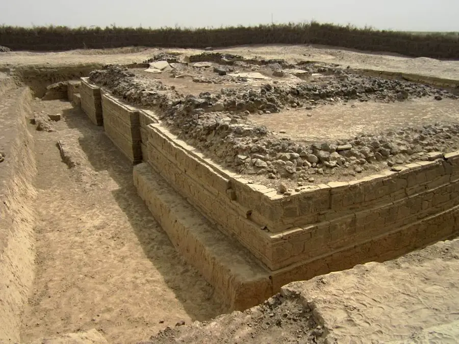
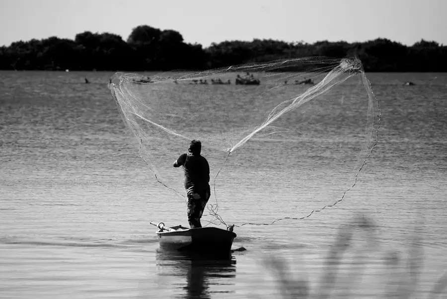
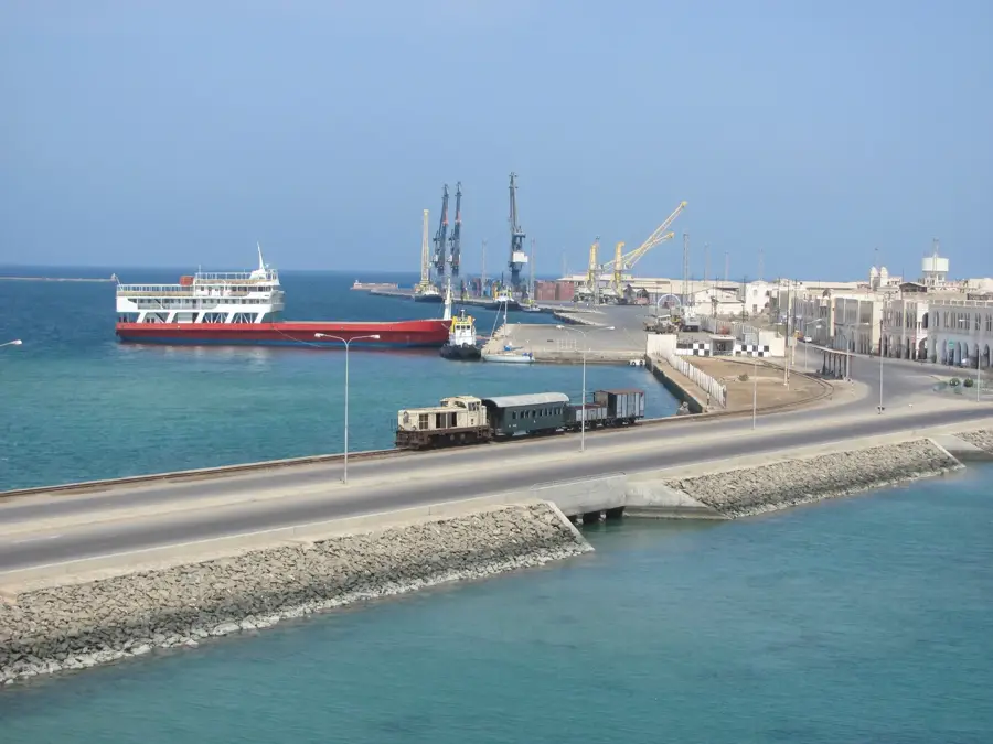
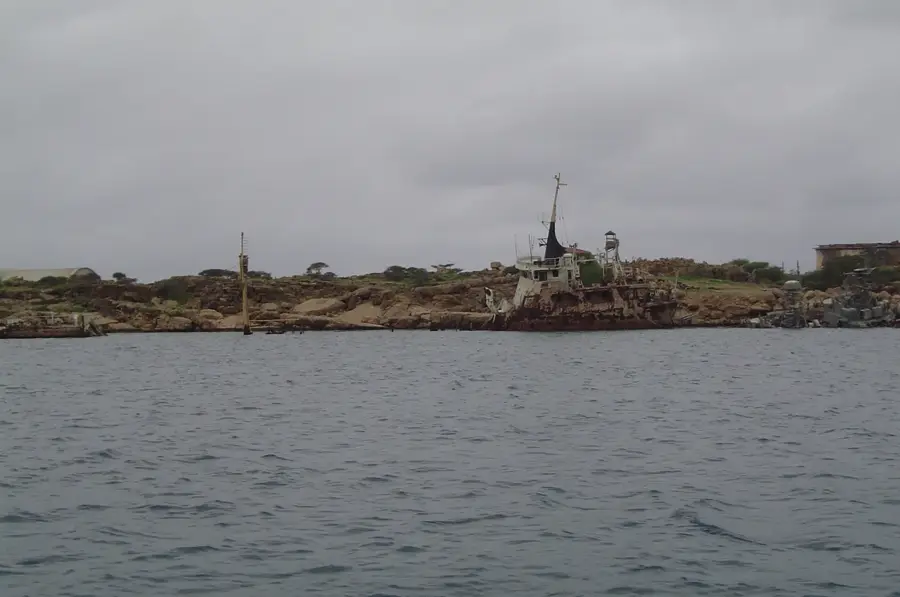
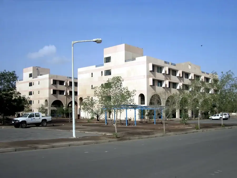
Mersa Fatma is a coastal settlement and port facility in the Northern Red Sea Region, historically renowned as the terminus for the potash railway from the Danakil Depression. In the early 20th century, the port was the primary export point for minerals extracted from the Dallol region by Italian mining companies. The infrastructure included a specialized pier and storage warehouses designed to handle bulk mineral shipments under extreme environmental conditions. Although the railway is no longer operational, the port remains a focal point for the local salt industry and small-scale maritime trade. The geography of Mersa Fatma is dominated by salt pans and tidal flats, which define the local extractive economy. Future economic prospects for the site are tied to the revitalization of mining activities in the Eritrean Danakil, where significant potash and gypsum deposits remain.
- Location: Eritrea
- Nearby: Dahlak Kebir (70 km)
Best time to visit & climate
The most pleasant time to visit is Jan, Feb, Dec.
| Jan | Feb | Mar | Apr | May | Jun | Jul | Aug | Sep | Oct | Nov | Dec | |
|---|---|---|---|---|---|---|---|---|---|---|---|---|
| Avg °C | 27 | 27 | 28 | 30 | 32 | 33 | 33 | 33 | 33 | 32 | 29 | 28 |
| Rain mm | 7 | 8 | 9 | 25 | 15 | 6 | 36 | 63 | 28 | 11 | 7 | 10 |
📋 Practical info
Geography
Facts
- Historical terminus of the potash railway from Dallol
- Primary mineral export hub during the early 20th century
- Current center for artisanal salt production and trade
- Features a specialized pier for bulk cargo handling
- Located in the harsh desert environment of the Danakil coast
- Key site for future potash and gypsum mining logistics
Explore nearby
Notable places around
Route planner — Car & Motorhome
Where do you start? We build the route here, with stops and country notes along the way.
© OpenStreetMap contributors · OpenRouteService
Sights nearby
Frequently asked questions
What is the main function of Mersa Fatma?
Is the port still used industrially today?
Are there remains of the old infrastructure?
What climatic conditions prevail here?
Is it worth a visit for tourists?
Mersa Fatma: where is it located?
Mersa Fatma: when is the best time to visit?
Mersa Fatma: why is it worth visiting?

Nearby cities

History & landmarks
More places