Plizio Visual Lab
Mendefera

ℹ️Practical info — Mendefera
▾
🌤 Weather — 5 days
📍 Nearby
Sights nearby
💡 Tips
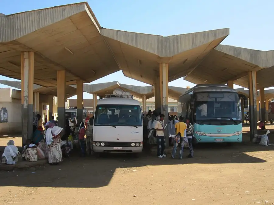
- Minibuses from Asmara are the most convenient way to arrive, offering a scenic drive through the mountains.
- Wear sturdy walking shoes to navigate the hilly streets leading up to St. George's Church for panoramic views.
- Try to visit on a Saturday to experience the bustling and colorful local weekly market.
- The climate is cooler than the coast, but you still need strong sun protection due to the high altitude.
🍽 Food
Sautéed meat chunks with spices, readily available at local eateries along the main road.
A staple 'fasting food' making it well-suited for vegans, flavored with rich local spices.
A traditional Eritrean homebrewed beer; ask locals for a reputable spot to try it.
🛍 Shopping · 🧘 Quiet spots
The open-air market is the well-suited place to buy these beautiful, colorful hand-woven baskets.
The surrounding region is rich in agriculture, and the honey sold here is of excellent quality.
Gives a peaceful vantage point to sit and look out over the town and surrounding landscape.
Away from the main road, the quiet alleys featuring Italian-era architecture are first-rate for a calm stroll.
Water temperature…
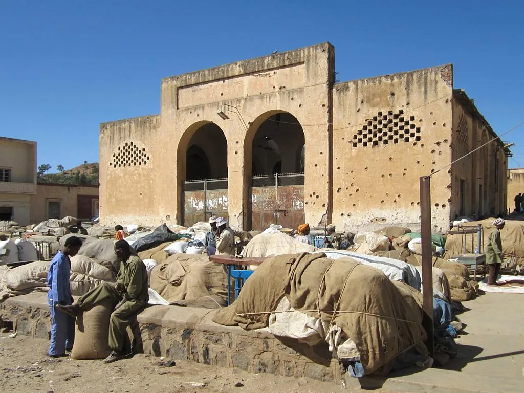
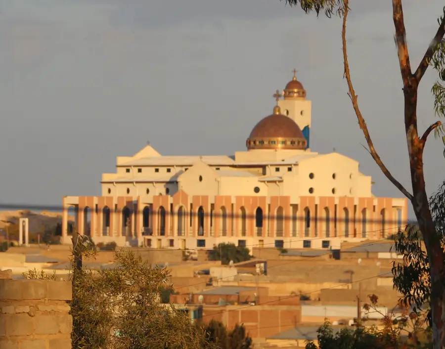
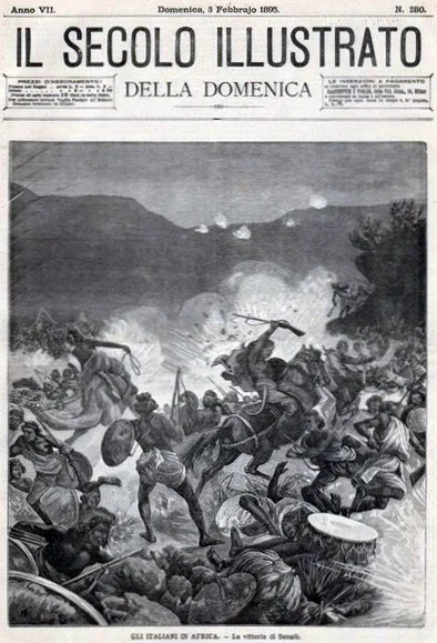
Mendefera, the capital of Eritrea's southern Debub region, is situated about 54 kilometers south of Asmara in the country's fertile central highlands. Its name, which means 'no one dared' in the Tigrinya language, serves as a proud reminder of the local population's fierce resistance to Italian colonial expansion during the late 19th century. Positioned at an altitude of approximately 1,970 meters, the city is spread across several hills, offering panoramic views of the surrounding agricultural landscape. Mendefera is home to significant religious landmarks, most notably the San Giorgio Church and the local mosque, reflecting the long-standing coexistence of different faiths in the region. The area's historical depth is evidenced by nearby archaeological sites such as Hawulti, which contain ruins and stelae dating back to the pre-Aksumite and Aksumite civilizations. Today, Mendefera thrives as a primary commercial hub for the surrounding farming communities, known for its bustling markets and local food production. The city's moderate climate and well-preserved traditions make it a vital cultural center in the southern highlands.
- Location: Eritrea
- Top sights: Mendefera subregion · Forto subregion
- Nearby: Adi Keyh (62 km)
- Population: ~17.781 (2021)
Best time to visit & climate
The most pleasant time to visit is Feb, Oct, Nov.
| Jan | Feb | Mar | Apr | May | Jun | Jul | Aug | Sep | Oct | Nov | Dec | |
|---|---|---|---|---|---|---|---|---|---|---|---|---|
| Avg °C | 19 | 21 | 23 | 24 | 25 | 24 | 21 | 20 | 21 | 21 | 20 | 19 |
| Rain mm | 3 | 6 | 9 | 27 | 26 | 41 | 143 | 162 | 42 | 13 | 5 | 4 |
Geography
Facts
- Mendefera is situated at an elevation of 1,970 meters above sea level.
- The city's name translates to 'no one dared' in Tigrinya.
- It serves as the regional capital for the Debub administration.
- Nearby Hawulti contains stelae from the 1st millennium BCE.
- The city is a major collection point for upland agricultural produce.
- Mendefera is known for its iconic hilltop churches and mosques.
Explore nearby
Notable places around
Route planner — Car & Motorhome
Where do you start? We build the route here, with stops and country notes along the way.
© OpenStreetMap contributors · OpenRouteService
Frequently asked questions
What does the name Mendefera mean?
What is the main attraction?
What is the landscape around Mendefera like?
Can you visit Mendefera as a day trip from Asmara?
Are there good restaurants there?
Mendefera: where is it located?
Mendefera: what is there to see?
Mendefera: when is the best time to visit?
Mendefera: why is it worth visiting?

Nearby cities
History & landmarks
Nature
More places