Plizio Visual Lab
Adi Quala

Weather…
Water temperature…
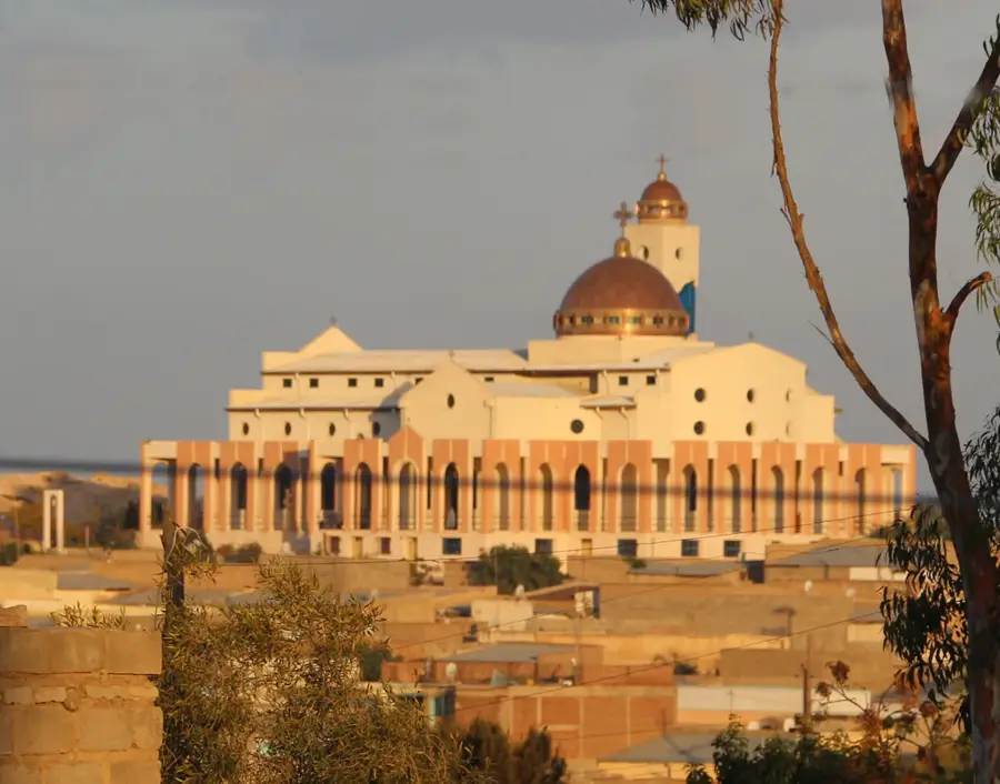
Perched near the Ethiopian border, Adi Quala is a town steeped in religious history and remarkable natural topography. Visitors are primarily drawn to the town to see the impressive St. Rita's Catholic Church, the historic Coptic monasteries, and to stand at the edge of the plateau overlooking the vast, sweeping plains of the Mereb valley. The surrounding landscape transitions from rocky highland plateaus to deep river valleys dotted with ancient Daero (sycamore) trees. Culinary offerings here are deeply traditional, featuring rich, slow-cooked goat meat and dairy-heavy side dishes, a reflection of the strong pastoral traditions of the southern Debub region. Traveling to Adi Quala involves a smooth, straight drive south from Asmara via Mendefera, taking just under two hours. The climate is generally mild year-round, but the period from September to November provides the most striking views of the valley, unclouded by the heavy summer rains.
- Location: Eritrea
- Nearby: Mendefera (21 km)
Best time to visit & climate
The most pleasant time to visit is Jan, Feb, Nov.
| Jan | Feb | Mar | Apr | May | Jun | Jul | Aug | Sep | Oct | Nov | Dec | |
|---|---|---|---|---|---|---|---|---|---|---|---|---|
| Avg °C | 20 | 22 | 24 | 25 | 25 | 24 | 21 | 20 | 22 | 21 | 20 | 19 |
| Rain mm | 2 | 4 | 8 | 23 | 31 | 40 | 156 | 187 | 56 | 19 | 5 | 3 |
📋 Practical info
Geography
Facts
- Near Ethiopian border.
- Overlooks Mereb River.
- St. Rita's Catholic Church.
- Coptic monasteries nearby.
- Giant Daero trees.
- Debub region.
- High altitude plateau.
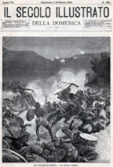
- Historic battle sites nearby.
Explore nearby
Notable places around
Route planner — Car & Motorhome
Where do you start? We build the route here, with stops and country notes along the way.
© OpenStreetMap contributors · OpenRouteService
Sights in the town Adi Quala (1)
Sights nearby
Frequently asked questions
Adi Quala: where is it located?
Adi Quala: when is the best time to visit?
Adi Quala: why is it worth visiting?

Nearby cities

History & landmarks
Nature
More places