Plizio Visual Lab
Bioko Island
Weather…
Water temperature…
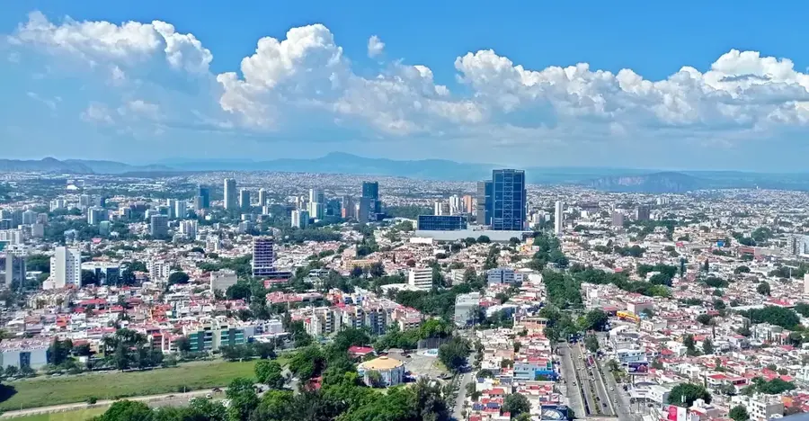
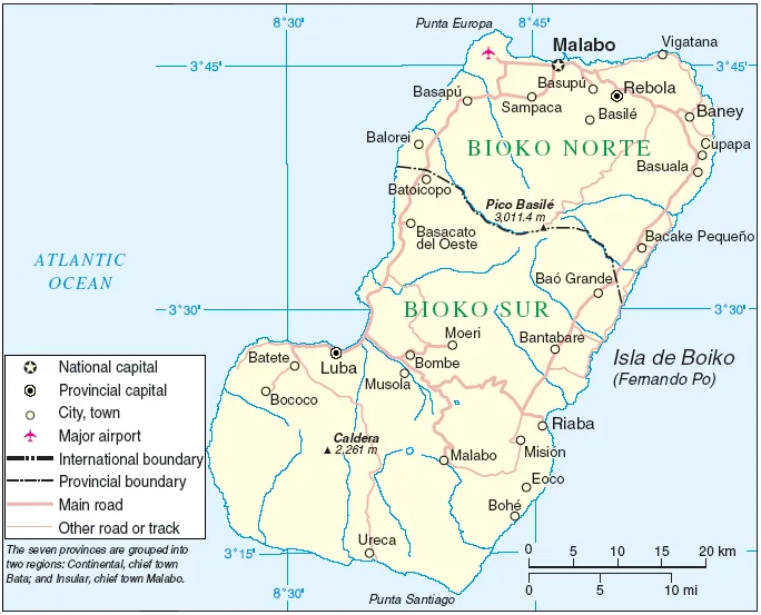
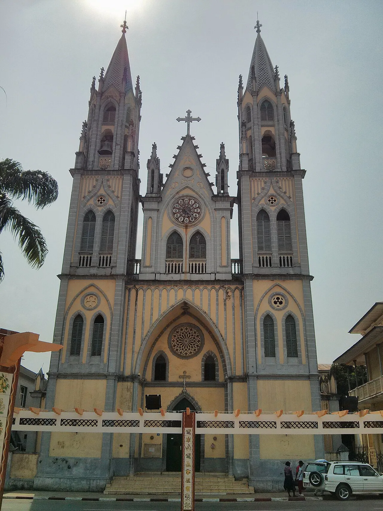
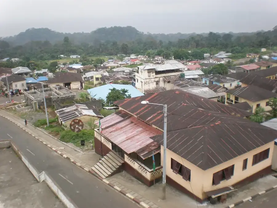
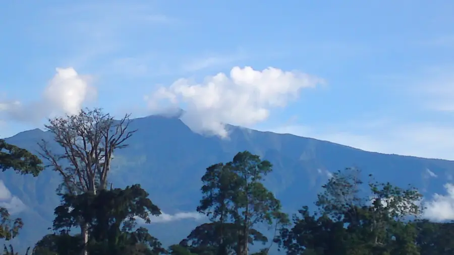
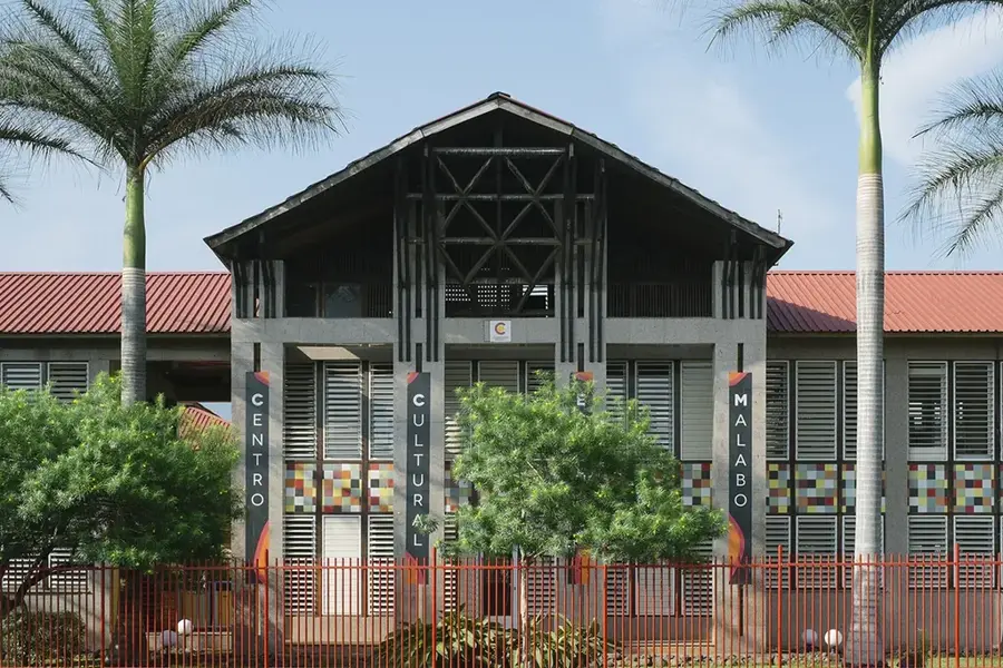
Bioko is the largest and most important island of Equatorial Guinea, strategically located in the Gulf of Guinea near the coast of Cameroon. The island's geography is profoundly shaped by its volcanic origins, featuring three massive extinct volcanoes, including the 3,011-meter high Pico Basile. Thanks to its nutrient-rich volcanic soil and high annual rainfall, Bioko was historically a world-renowned center for high-quality cocoa production. Today, it hosts the national capital, Malabo, and serves as the country's economic and political hub. Bioko's natural landscape has an incredible range of biodiversity, from the northern volcanic beaches to the pristine, mist-covered rainforests of the southern calderas. It is globally recognized for its rare primate populations, such as the endangered drill, and remains a vital pillar for environmental conservation in the Bight of Biafra.
- Location: Equatorial Guinea
- Top sights: Cameroon line · Bioko · Aeroflot Flight 418
- Nearby: Pico Basile (12 km)
Best time to visit & climate
The most pleasant time to visit is Jan, Feb, Dec.
| Jan | Feb | Mar | Apr | May | Jun | Jul | Aug | Sep | Oct | Nov | Dec | |
|---|---|---|---|---|---|---|---|---|---|---|---|---|
| Avg °C | 26 | 26 | 27 | 27 | 26 | 25 | 24 | 24 | 25 | 25 | 26 | 26 |
| Rain mm | 32 | 77 | 156 | 202 | 216 | 298 | 306 | 333 | 338 | 243 | 155 | 28 |
📋 Practical info
Geography
Facts
- The largest island of Equatorial Guinea at 2,017 km².
- Formerly known by the colonial name Fernando Pó.
- Located 32 kilometers off the mainland coast of Cameroon.
- Home to the national capital, Malabo, founded in 1827.
- Features some of the highest annual rainfall levels in the world.
- Contains the 5 km wide Gran Caldera de Luba in the south.
Explore nearby
Notable places around
Route planner — Car & Motorhome
Where do you start? We build the route here, with stops and country notes along the way.
© OpenStreetMap contributors · OpenRouteService
Sights in the town Bioko Island (3)
Sights nearby
Frequently asked questions
Do you need a visa for Bioko?
How do you get around from Malabo?
Are there beaches there?
Is the island safe?
When is the best time to visit?
Bioko Island: where is it located?
Bioko Island: what is there to see?
Bioko Island: when is the best time to visit?
Bioko Island: why is it worth visiting?

Nearby cities

History & landmarks

More places