Plizio Visual Lab
Bilelipa

ℹ️Practical info — Bilelipa
▾
🌤 Weather — 5 days
📍 Nearby
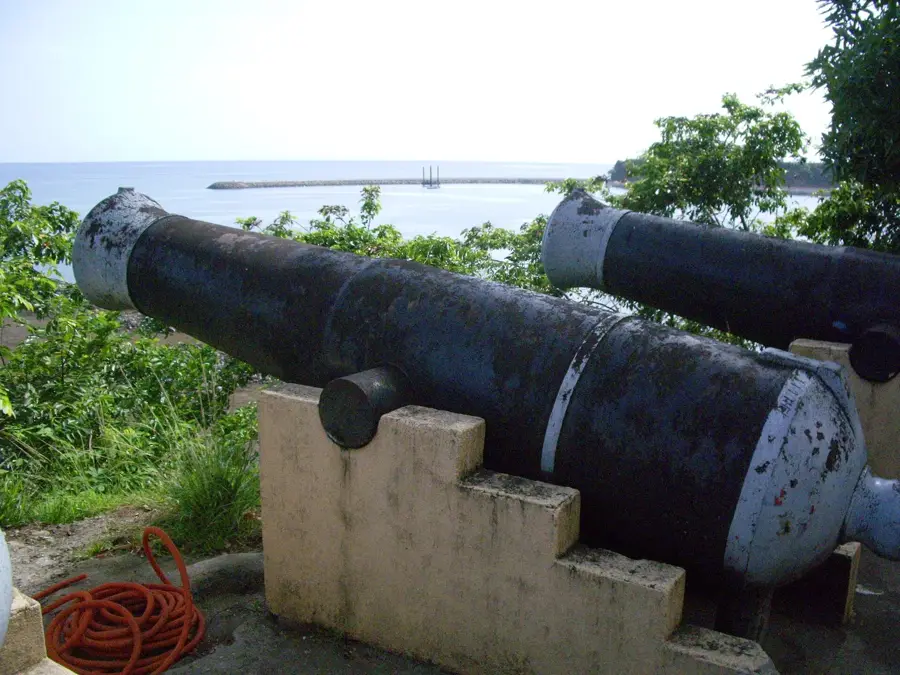
Sights nearby
💡 Tips
- The best time to see the fishermen return with their catch is early morning.
- Transport from Malabo can be sporadic; arrange a shared taxi or driver in advance.
- Bring mosquito repellent and sunscreen, as the coastal sun is strong.
- Ask for permission before taking close-up photos of the locals at work.
🍽 Food
Ask around the village center for the catch of the day, usually grilled over an open fire.
Fried or boiled, this is the staple side dish served with almost every meal.
A hearty, traditional stew often prepared by local families, sometimes offered in small eateries.
🛍 Shopping · 🧘 Quiet spots
Buy fish straight from the boats in the morning if you have a place to cook.
Occasionally, villagers sell woven items or simple wood carvings near the main gathering spots.
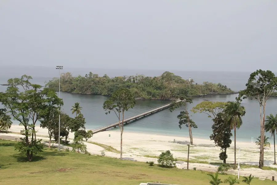
Walk along the dark volcanic sand beach at sunset for a peaceful view of the ocean.
Wander just outside the village where the dense tropical forest meets the coast.
Water temperature…
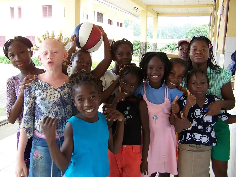
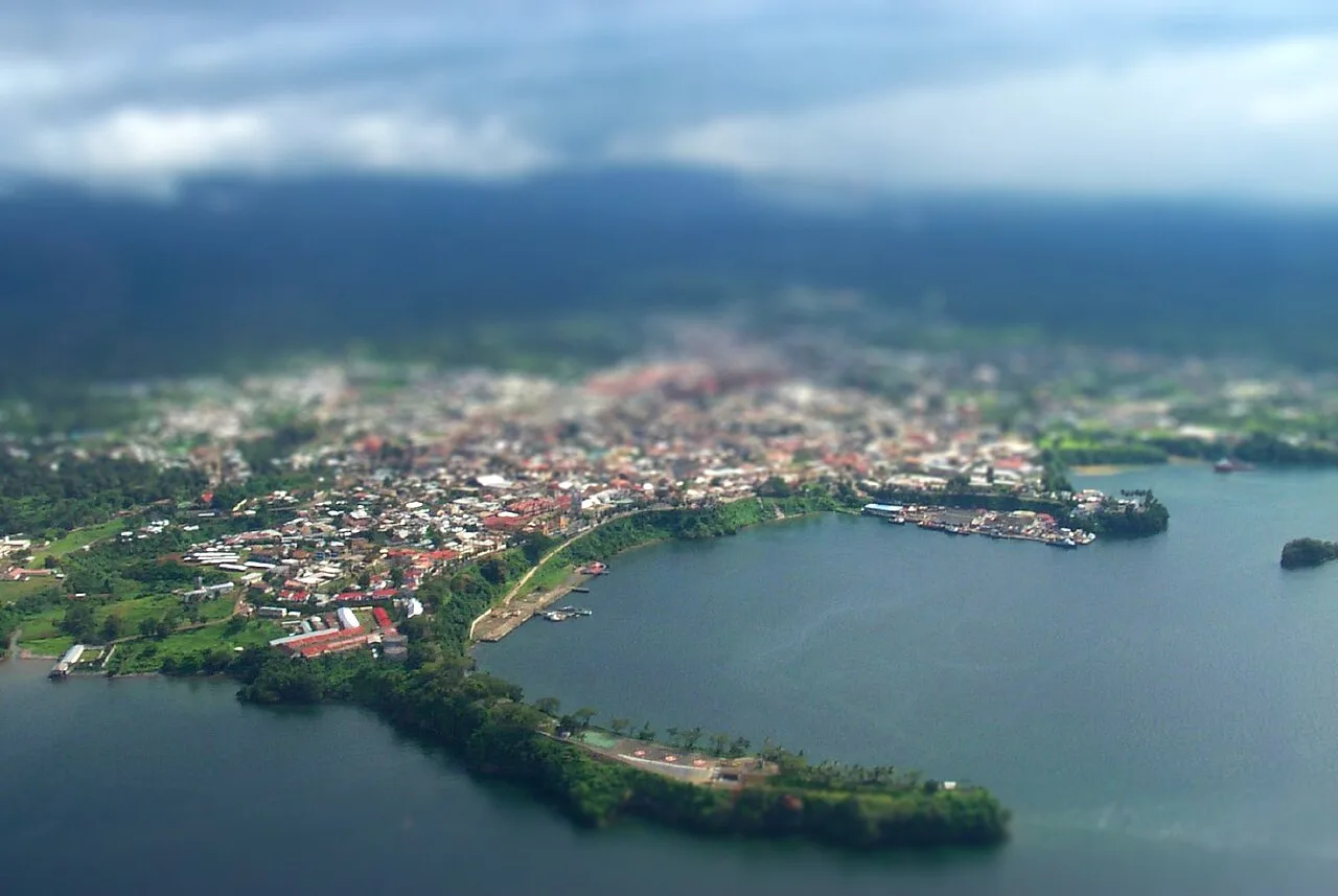
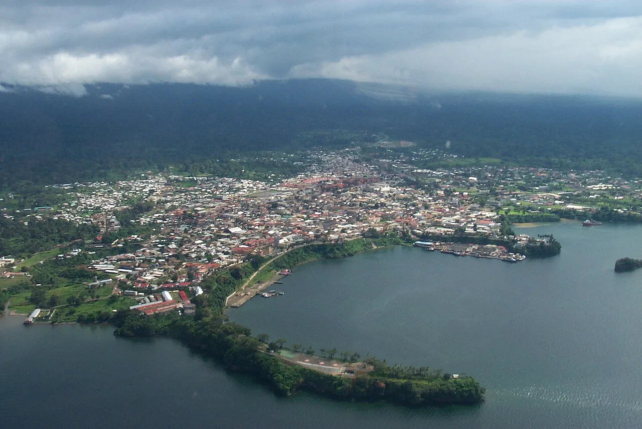
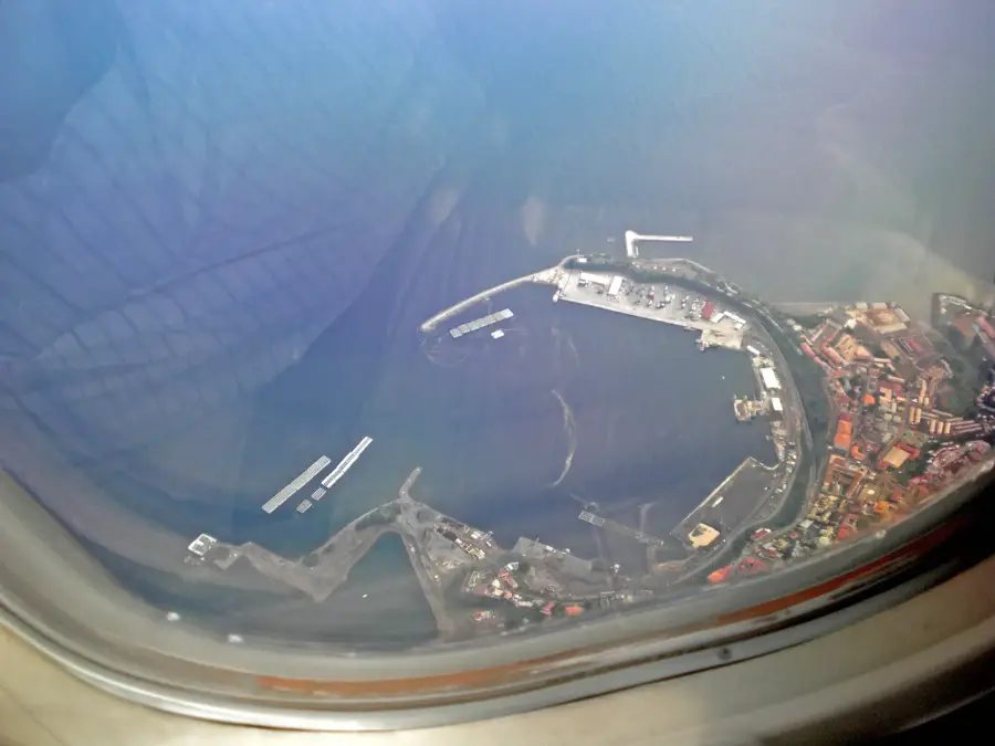
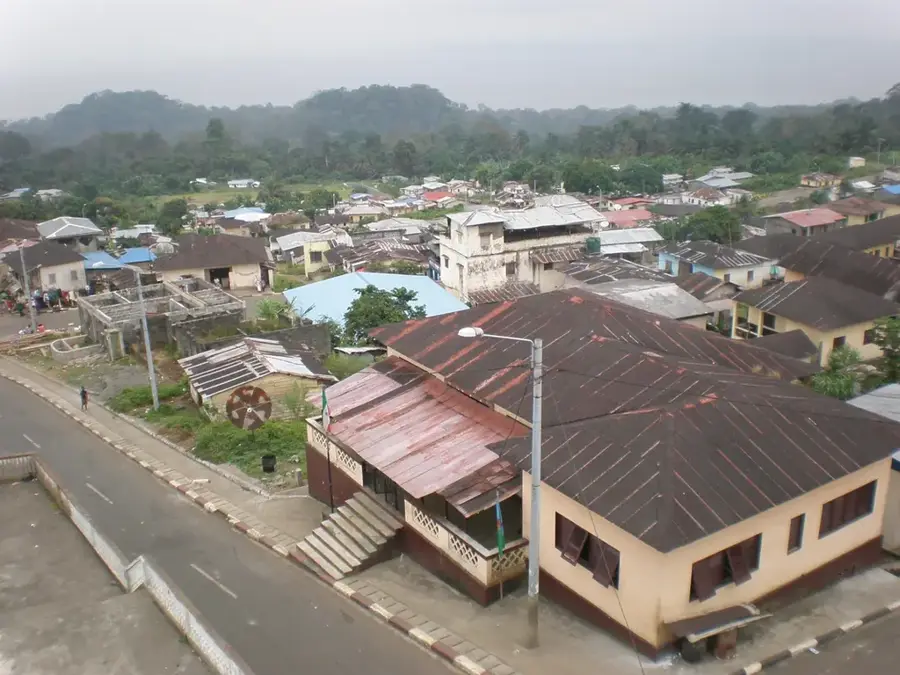
Bilelipa is a remote coastal community in the Luba district of Bioko Sur province, located in the southern part of Bioko Island. The settlement is situated in a geographically challenging region characterized by steep volcanic cliffs and dense primary rainforest. Historically, access to Bilelipa was limited for decades to sea routes or arduous footpaths, which contributed to the preservation of traditional lifestyles. With the expansion of the Bioko Island ring road in the 2010s, the village became better connected to the economic centers in the north. The local economy is primarily based on subsistence farming and artisanal fishing in the Gulf of Guinea. Bilelipa is also known for its strategic location near the Caldera de Luba Reserve, one of Central Africa's most important biodiversity hotspots. The surrounding flora and fauna are home to rare primate species and numerous endemic birds, giving the region potential interest for ecotourism.
- Location: Equatorial Guinea
- Nearby: Rebola (5 km)
- Population: ~155.963 (2026)
Best time to visit & climate
The most pleasant time to visit is Jan, Feb, Dec.
| Jan | Feb | Mar | Apr | May | Jun | Jul | Aug | Sep | Oct | Nov | Dec | |
|---|---|---|---|---|---|---|---|---|---|---|---|---|
| Avg °C | 28 | 28 | 28 | 28 | 28 | 27 | 26 | 26 | 26 | 27 | 27 | 27 |
| Rain mm | 30 | 74 | 148 | 190 | 202 | 347 | 424 | 480 | 410 | 257 | 150 | 26 |
Geography
Facts
- Bilelipa is located in the southern part of Bioko Island in Bioko Sur province.
- The town was until recently one of the most isolated settlements on the island.
- The local economy relies on fishing and subsistence agriculture.
- It is situated in close proximity to the Caldera de Luba Scientific Reserve.
- The region receives extremely high levels of annual rainfall.
- Accessibility improved significantly with the new ring road since about 2014.
Explore nearby
Notable places around
Route planner — Car & Motorhome
Where do you start? We build the route here, with stops and country notes along the way.
© OpenStreetMap contributors · OpenRouteService
Frequently asked questions
What is special about Bilelipa?
How to get to Bilelipa?
Are there hotels?
How safe is Bilelipa?
Are there local markets?
Bilelipa: where is it located?
Bilelipa: when is the best time to visit?
Bilelipa: why is it worth visiting?

Nearby cities
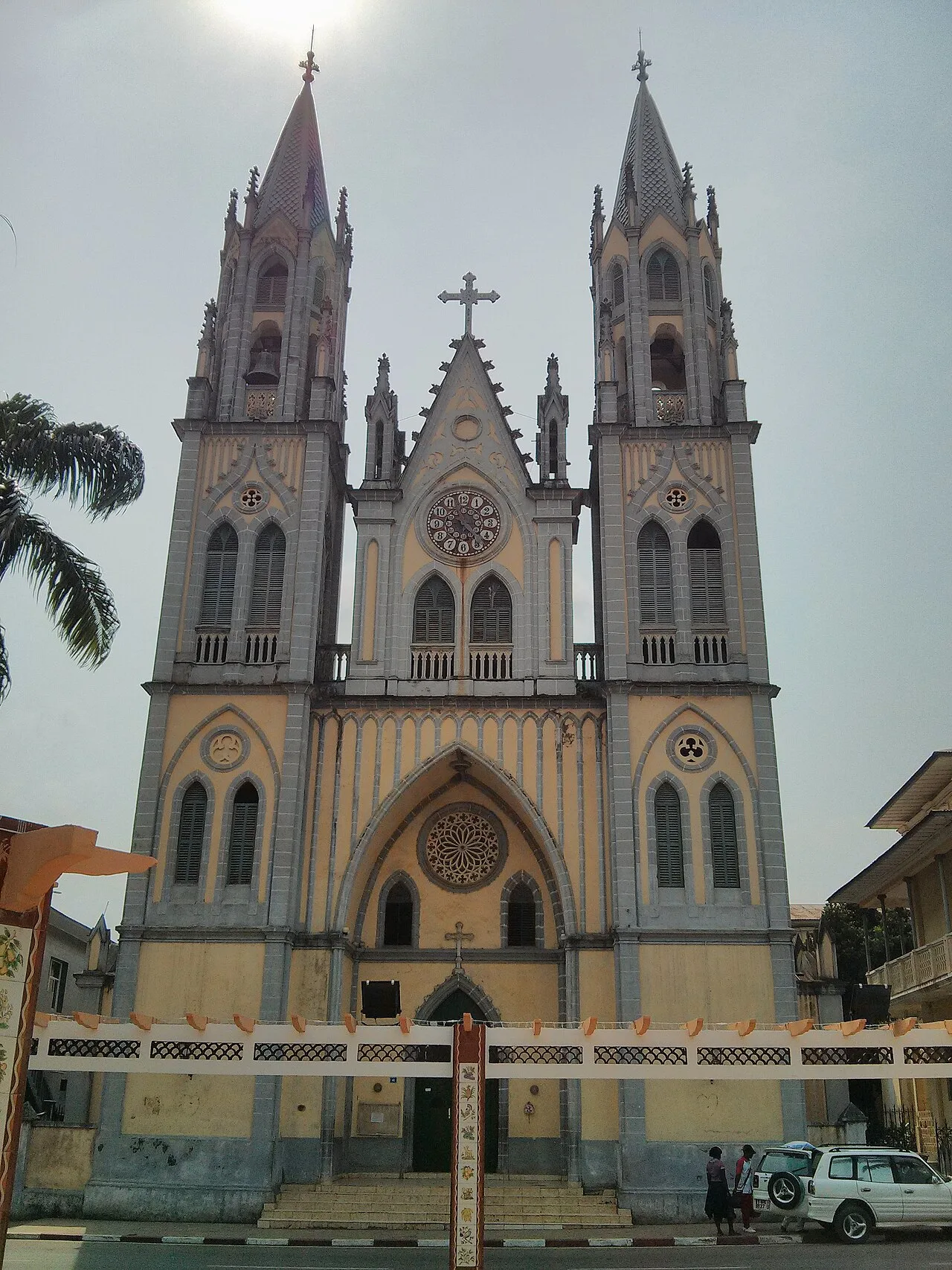

History & landmarks

More places