Plizio Visual Lab
Sierra Negra

Weather…
Water temperature…
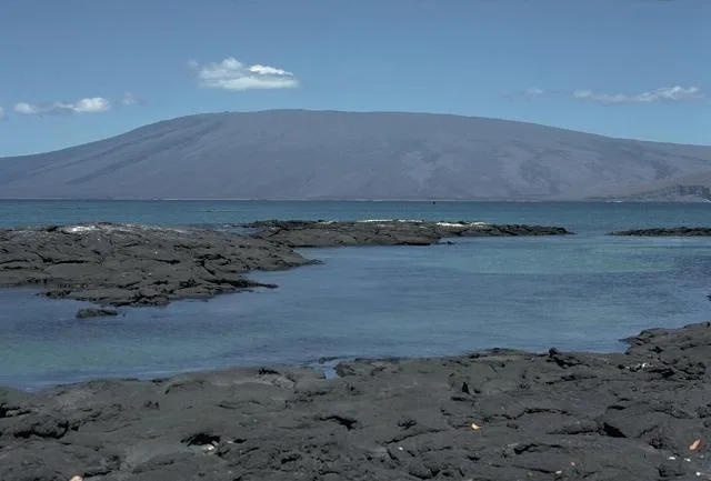
Sierra Negra is one of the most active volcanoes in the Galápagos Islands, located at the southern end of Isabela Island. It possesses one of the largest calderas in the world, with a diameter of approximately 10 by 7 kilometers and a depth of 100 meters. Standing at 1,124 meters, this shield volcano is renowned for its frequent eruptions, with the most recent major events occurring in 2005 and 2018. The north side of the volcano is characterized by solidified lava flows and volcanic cones, while the southern flank is often shrouded in mist and supports lusher vegetation. Hiking to the crater rim features spectacular views of the lunar-like landscape inside the caldera and the surrounding islands. Geologically, Sierra Negra is a key example of hotspot volcanism and contributes significantly to the geomorphological evolution of the archipelago.
- Location: Ecuador
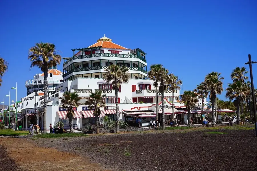
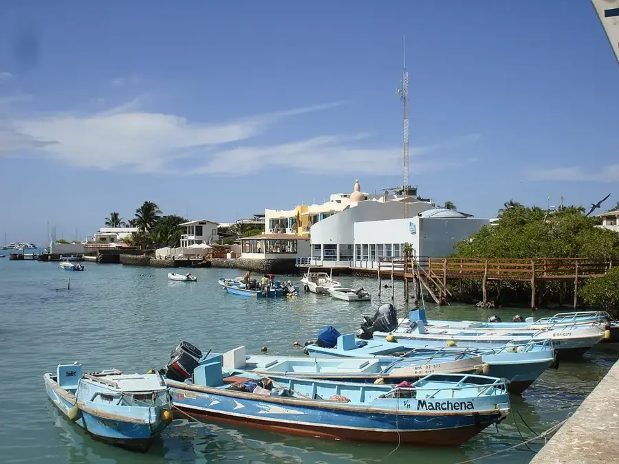
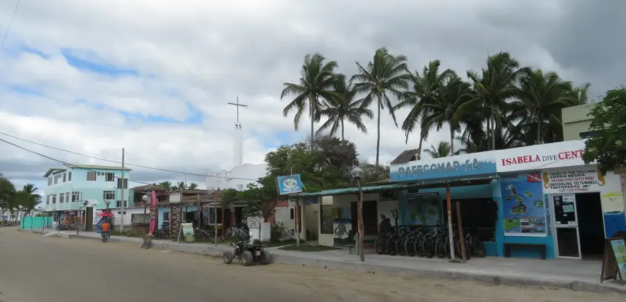
- Nearby: Puerto Villamil (18 km)
Best time to visit & climate
The most pleasant time to visit is Aug–Oct.
| Jan | Feb | Mar | Apr | May | Jun | Jul | Aug | Sep | Oct | Nov | Dec | |
|---|---|---|---|---|---|---|---|---|---|---|---|---|
| Avg °C | 25 | 26 | 27 | 26 | 25 | 24 | 22 | 21 | 21 | 21 | 22 | 23 |
| Rain mm | 33 | 53 | 48 | 48 | 15 | 9 | 8 | 7 | 5 | 7 | 8 | 11 |
📋 Practical info
Geography
Facts
- Caldera diameter of approx. 10 x 7 km
- Peak elevation is 1,124 meters
- Last major eruption in the year 2018
- Second largest caldera in the world
- Located on Isabela Island
- Consists of a shallow shield profile
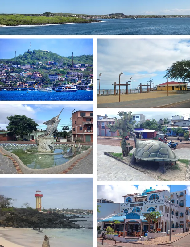
Explore nearby
Notable places around
Route planner — Car & Motorhome
Where do you start? We build the route here, with stops and country notes along the way.
© OpenStreetMap contributors · OpenRouteService
Sights nearby
Frequently asked questions
What makes Sierra Negra so special?
How do you get to the crater?
Is the hike strenuous?
When was the last eruption?
What should I wear?
Sierra Negra: where is it located?
Sierra Negra: when is the best time to visit?
Sierra Negra: why is it worth visiting?

Nearby cities
More places