Plizio Visual Lab
Trou d'Eau Mountains
Weather…
Water temperature…
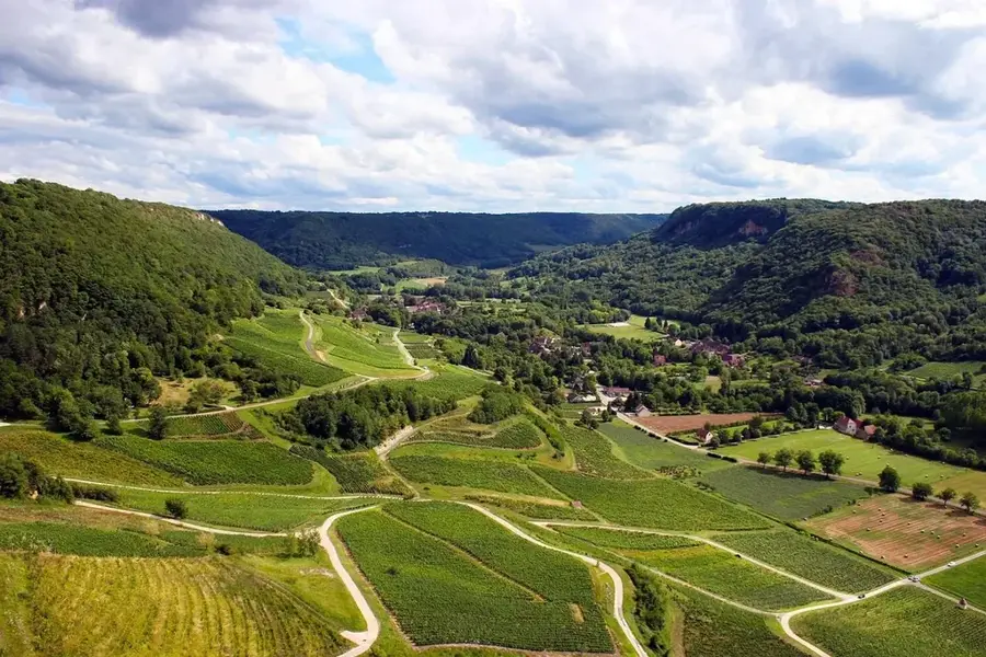
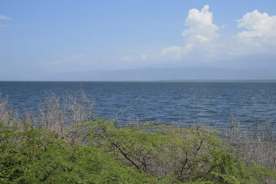
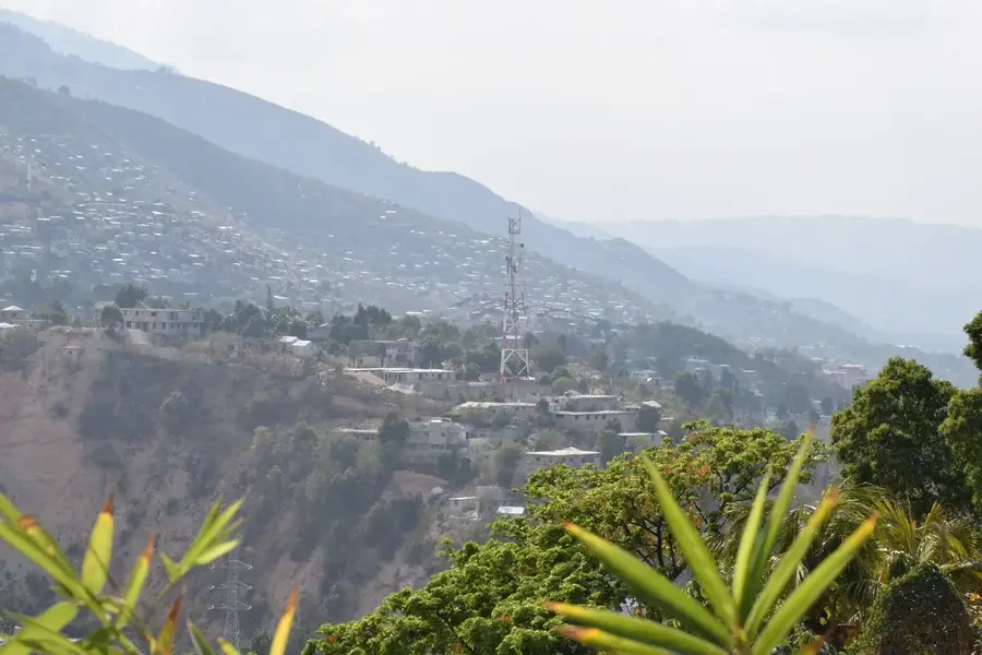
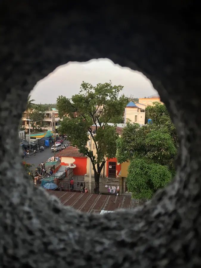
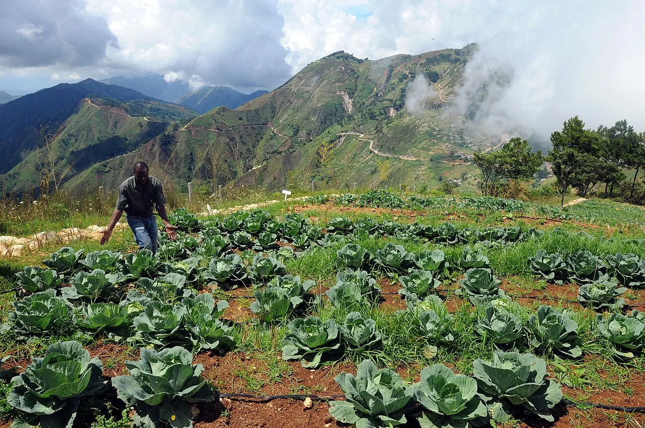
The Montagnes du Trou d'Eau are a significant mountain range in eastern Haiti, stretching north of the Plaine du Cul-de-Sac. Geologically, these mountains represent the westward continuation of the Dominican Sierra de Neiba and are primarily composed of folded limestone. The massif reaches elevations of up to 1,500 meters and is characterized by a distinct karst topography featuring numerous caves and subterranean waterways. Historically, the inaccessible slopes provided a safe haven for runaway slaves, known as Maroons, during the colonial era. Today, the mountains serve as a critical watershed for the surrounding lowlands, although the native vegetation has been heavily impacted by charcoal production and subsistence farming. The summit areas offer expansive views over Lac Azuéi and the border with the Dominican Republic. The rugged beauty of the terrain and its strategic location make the Montagnes du Trou d'Eau a compelling area for geological research and off-the-beaten-path trekking.
- Location: Haiti
- Nearby: Bassin Zim (15 km)
Best time to visit & climate
The most pleasant time to visit is Jan, Feb, Dec.
| Jan | Feb | Mar | Apr | May | Jun | Jul | Aug | Sep | Oct | Nov | Dec | |
|---|---|---|---|---|---|---|---|---|---|---|---|---|
| Avg °C | 23 | 24 | 25 | 26 | 26 | 27 | 28 | 28 | 27 | 26 | 24 | 23 |
| Rain mm | 25 | 18 | 28 | 37 | 57 | 35 | 32 | 54 | 43 | 63 | 63 | 32 |
📋 Practical info
Geography
Facts
- The highest peaks of the range reach an altitude of approximately 1,500 meters.
- The range forms the drainage divide between the Artibonite Basin and Cul-de-Sac.
- Geologically, it is part of the Neiba fault zone within the Hispaniola plate.
- Limestone deposits in the mountains contain marine fossils from the Eocene epoch.
- Annual rainfall differs significantly between the windward and leeward slopes.
- Conservation initiatives aim to protect portions of the range for reforestation.
Explore nearby
Notable places around
Route planner — Car & Motorhome
Where do you start? We build the route here, with stops and country notes along the way.
© OpenStreetMap contributors · OpenRouteService
Sights nearby
Frequently asked questions
What does the name Trou d'Eau mean?
Where are these mountains located?
How high are the peaks?
Is the area inhabited?
Are there hiking trails?
Trou d'Eau Mountains: where is it located?
Trou d'Eau Mountains: when is the best time to visit?
Trou d'Eau Mountains: why is it worth visiting?

More places