Plizio Visual Lab
Randers Fjord
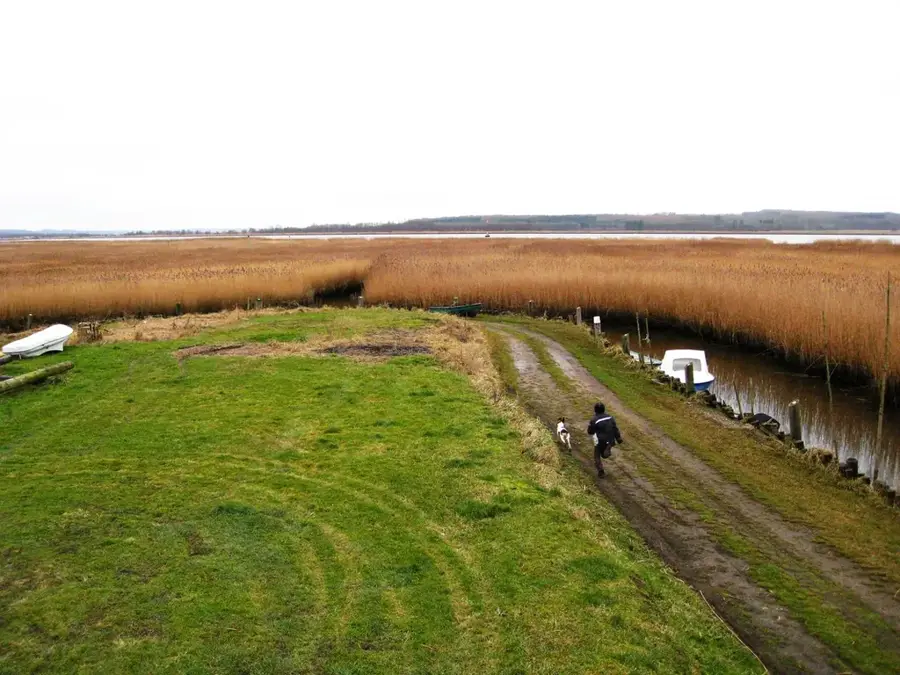
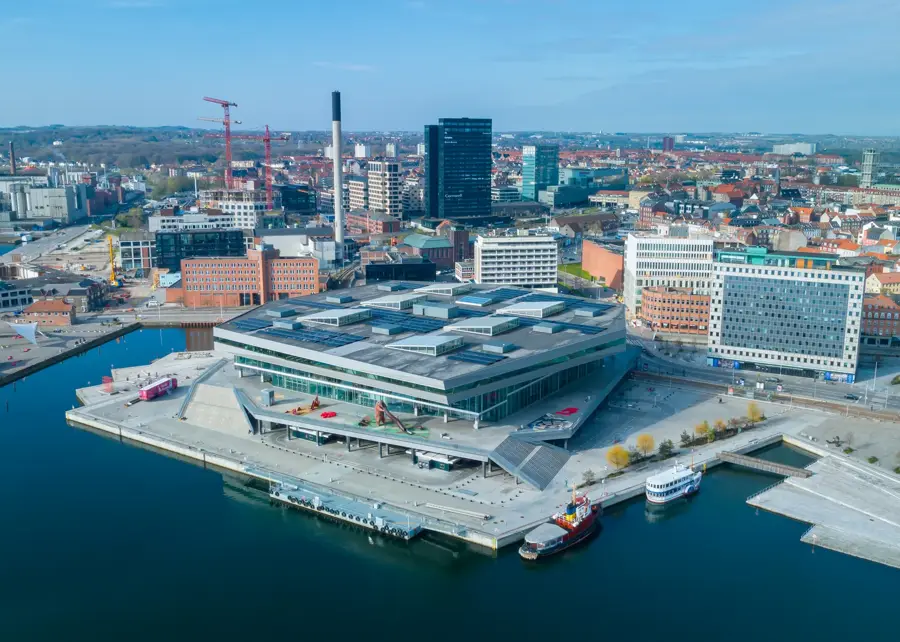
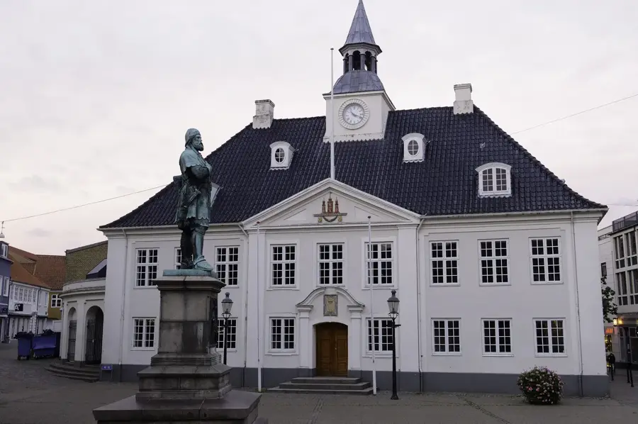
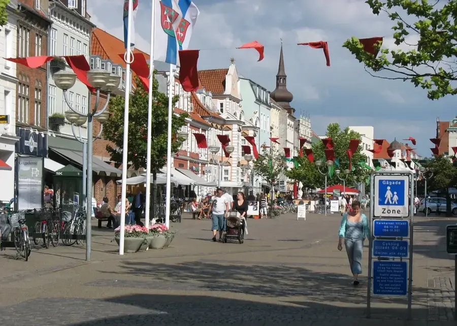
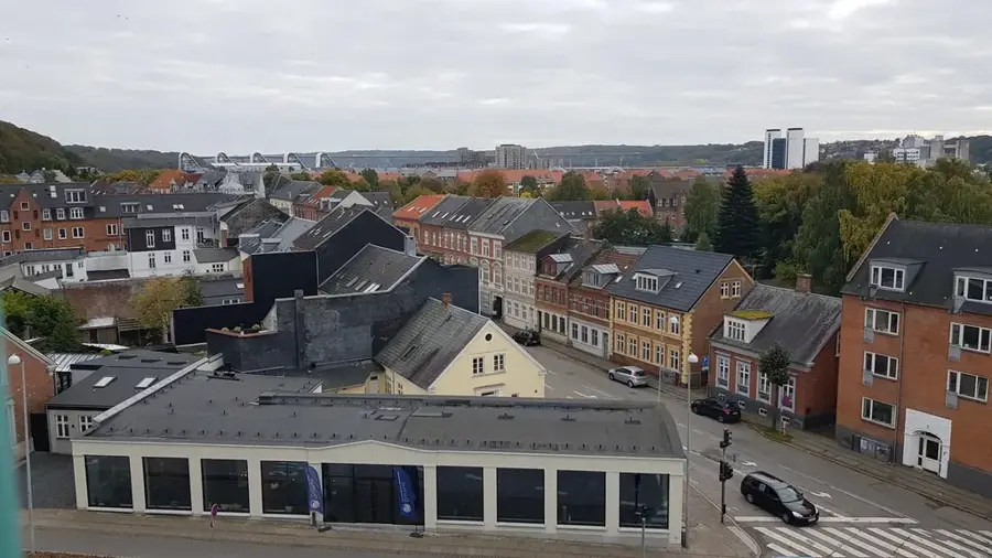
Randers Fjord is a waterway approximately 30 kilometers long in East Jutland, connecting Denmark's longest river, the Gudenå, with the Kattegat. The fjord is characterized by low salinity, as the Gudenå discharges large volumes of freshwater into the system, creating a unique brackish environment. The landscape along the fjord consists mainly of vast marsh meadows and reed beds, recognized internationally as a significant bird protection area. Historically, the fjord played a central role as a trade route for the town of Randers, which was a major economic hub as early as the Middle Ages. A notable feature is the ferry between Mellerup and Voer, considered the smallest registered car ferry in Denmark, which maintains a traditional connection. Today, the region is a major center for sport anglers, particularly for catching sea trout and salmon. Conservation projects aim to preserve the natural floodplains and improve water quality by reducing nutrient input from surrounding areas.
- Location: Denmark
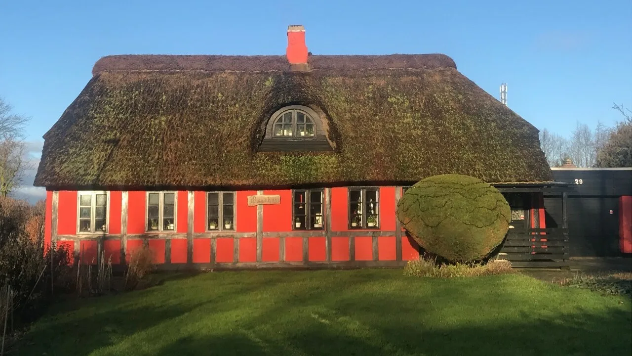
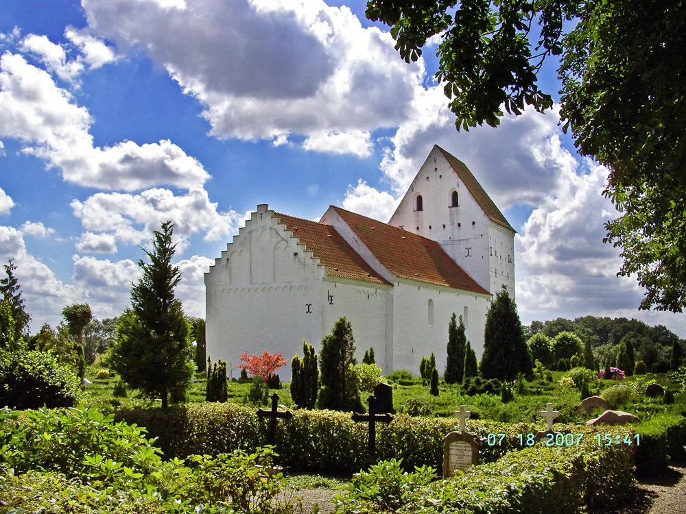
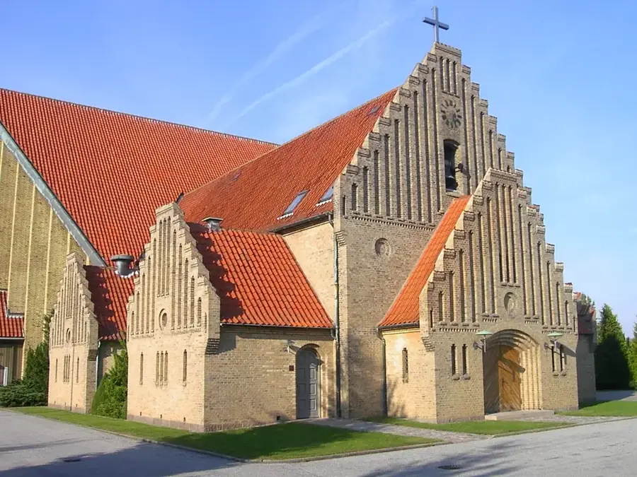
- Top sights: Lushøj · Stenhøj · Bavnehøj
- Nearby: Udbyhøj Vasehuse (8 km)
Best time to visit & climate
The most pleasant time to visit is Jun–Aug.
| Jan | Feb | Mar | Apr | May | Jun | Jul | Aug | Sep | Oct | Nov | Dec | |
|---|---|---|---|---|---|---|---|---|---|---|---|---|
| Avg °C | 1 | 1 | 3 | 7 | 11 | 15 | 17 | 17 | 14 | 10 | 6 | 3 |
| Rain mm | 66 | 51 | 46 | 43 | 54 | 77 | 82 | 86 | 68 | 86 | 74 | 69 |
📋 Practical info
Geography
Facts
- Approx. 30 km long waterway in East Jutland
- Connects the Gudenå river with the Kattegat sea
- Low salinity due to massive freshwater influx
- Home to Denmark's smallest car ferry (Mellerup-Voer)
- Significant protected area for migratory and wading birds
- Popular destination for sea trout fishing
Explore nearby
Notable places around
Route planner — Car & Motorhome
Where do you start? We build the route here, with stops and country notes along the way.
© OpenStreetMap contributors · OpenRouteService
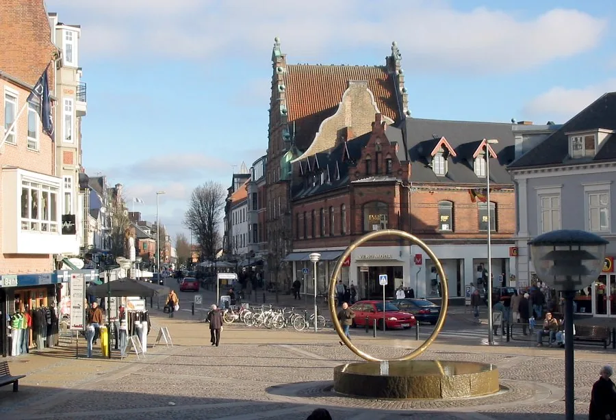
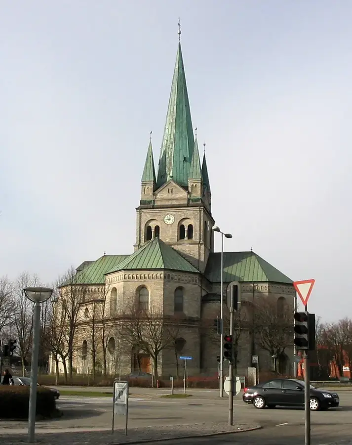
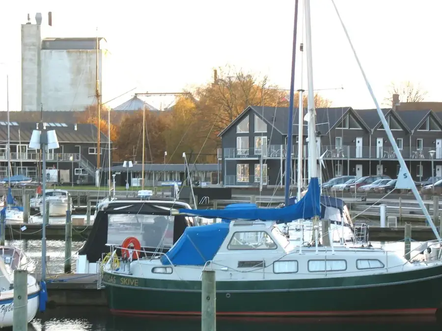
Sights in the town Randers Fjord (3)
Sights nearby
Frequently asked questions
How long is Randers Fjord?
Are there ferries across the fjord?
Can you go fishing there?
Are there nature centers?
Is the fjord navigable?
Randers Fjord: where is it located?
Randers Fjord: what is there to see?
Randers Fjord: when is the best time to visit?
Randers Fjord: why is it worth visiting?

Nearby cities