Plizio Visual Lab
Ejer Bavnehøj
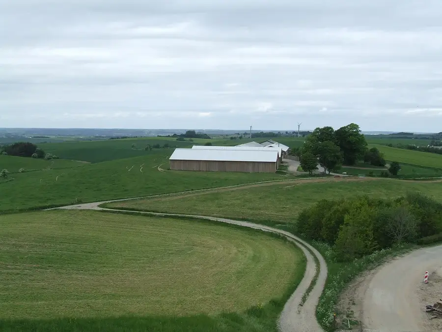
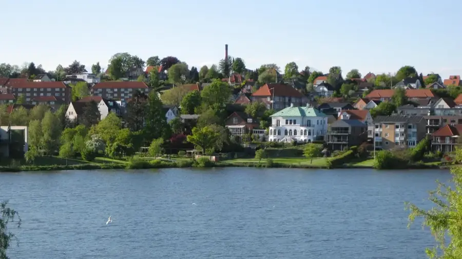
Ejer Bavnehøj is a prominent natural elevation in Denmark, standing at 170.35 meters above sea level in the Skanderborg municipality. Historically regarded as the highest peak in the country, it held this title until 2005, when new measurements confirmed that the nearby Møllehøj was slightly taller. Geologically, it is a terminal moraine created during the Weichselian glaciation, formed by the accumulation of till and debris at the edge of the advancing ice sheet. The site's name refers to the ancient practice of lighting beacon fires (Bavner) to alert the kingdom of approaching enemies. In 1924, a 13-meter tall brick tower was erected at the summit to celebrate national unity and the reunion with North Schleswig. Modern visitors use the site as a recreational area, which provides views extending as far as the island of Samsø on clear days. The surrounding landscape illustrates the characteristic undulating terrain of the Jutland highlands, shaped by thousands of years of post-glacial erosion and human agricultural activity.
- Location: Denmark
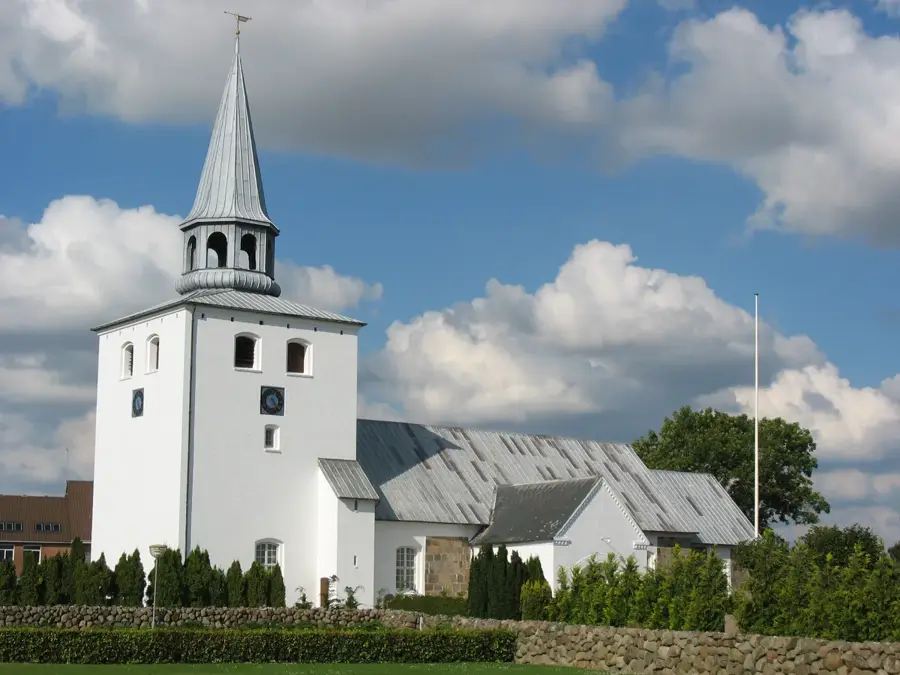
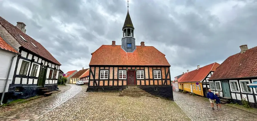
- Top sights: Rodebuske · Møllehøj · Genforeningstårnet
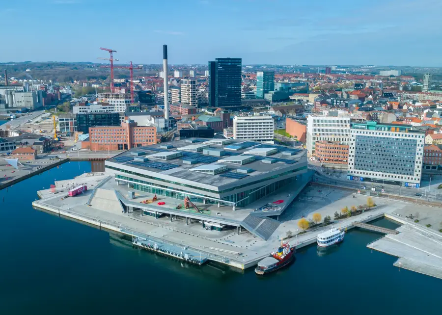
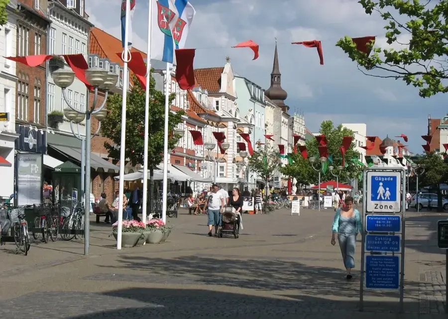
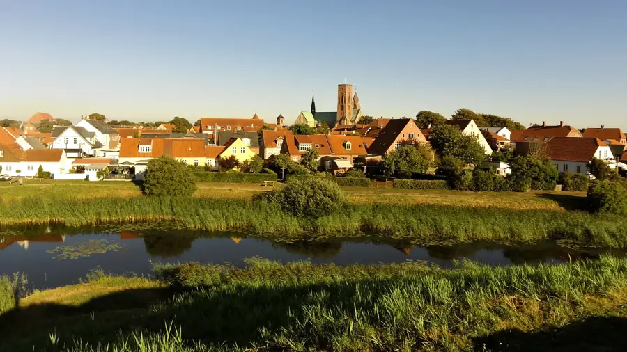
- Nearby: Skanderborg (10 km)
Best time to visit & climate
The most pleasant time to visit is Jun–Aug.
| Jan | Feb | Mar | Apr | May | Jun | Jul | Aug | Sep | Oct | Nov | Dec | |
|---|---|---|---|---|---|---|---|---|---|---|---|---|
| Avg °C | 1 | 1 | 3 | 7 | 11 | 15 | 17 | 17 | 14 | 9 | 6 | 3 |
| Rain mm | 65 | 52 | 47 | 44 | 55 | 73 | 82 | 86 | 69 | 85 | 73 | 67 |
📋 Practical info
Geography
Facts
- Official elevation is 170.35 meters above sea level
- Considered Denmark's highest point until 2005
- Located in the Skanderborg municipality in Jutland
- Features a 13-meter memorial tower built in 1924
- Ancient site for beacon fires used for coastal defense
- A geological terminal moraine from the last ice age
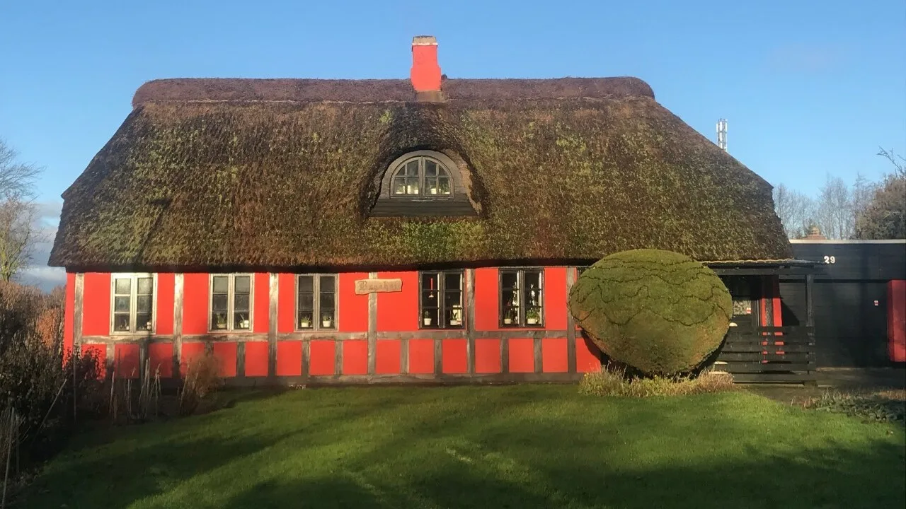
Explore nearby
Notable places around
Route planner — Car & Motorhome
Where do you start? We build the route here, with stops and country notes along the way.
© OpenStreetMap contributors · OpenRouteService
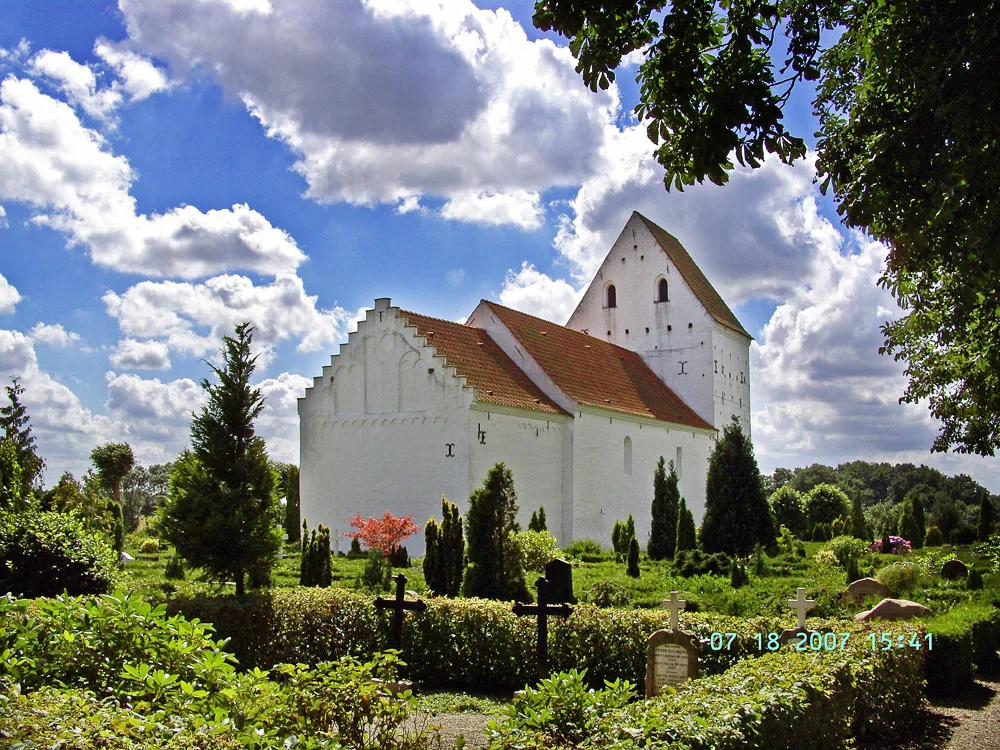
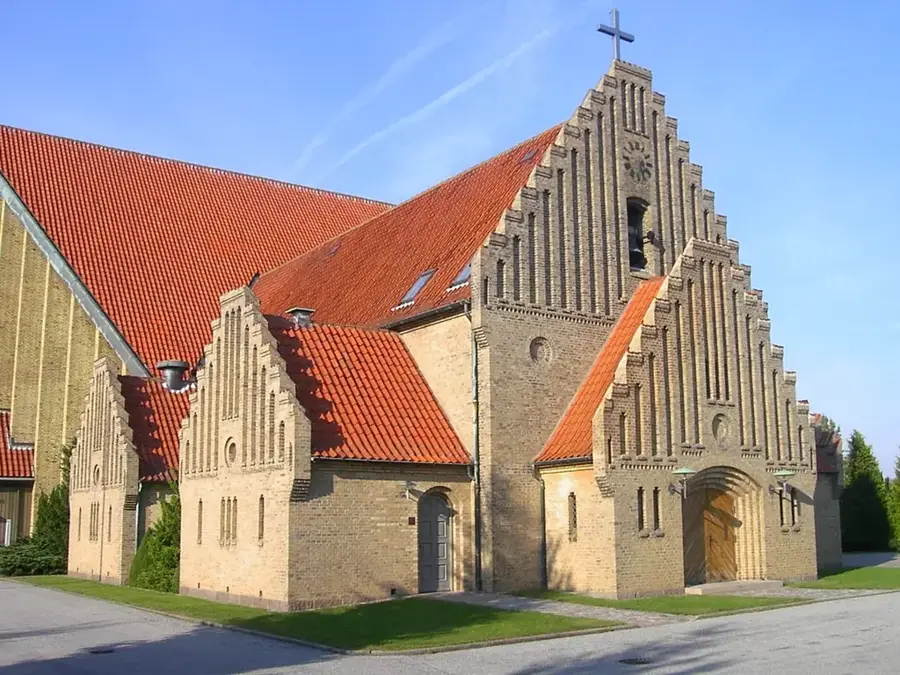
Sights in the town Ejer Bavnehøj (6)
Sights nearby
Frequently asked questions
What is special about Ejer Bavnehøj?
Is there an entrance fee for the tower?
Are there food facilities?
How is the view from the tower?
What does 'Bavnehøj' mean?
Ejer Bavnehøj: where is it located?
Ejer Bavnehøj: what is there to see?
Ejer Bavnehøj: when is the best time to visit?
Ejer Bavnehøj: why is it worth visiting?

Nearby cities