Plizio Visual Lab
Azande Threshold

Weather…
Water temperature…
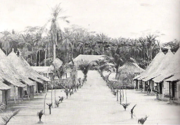
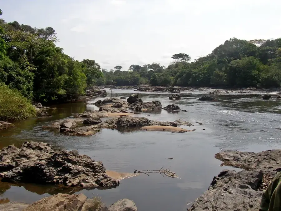
The Azande Threshold is an extensive plateau and landform that stretches across the northern part of the Democratic Republic of Congo, as well as parts of the Central African Republic and South Sudan. It forms a major watershed dividing the Congo River Basin to the south from the Nile Basin to the north. The elevation of the threshold averages between 600 and 900 meters above sea level. Geologically, it is composed of ancient Precambrian basement rock, which is rich in minerals like gold and diamonds, a factor that has historically contributed to conflict in the region. The landscape is predominantly humid savanna and gallery forests along the rivers. The threshold is the source of numerous rivers, including the Uele and the Mbomou, which join to form the Ubangi River. The area is traditionally the homeland of the Azande people, an ethnic group known for their sophisticated political organization and agricultural practices. The region has suffered from decades of political instability, armed conflict, and displacement, which has had a severe impact on the population and the environment. Despite these challenges, the Azande Threshold remains a region of great geographical and cultural importance.
Best time to visit & climate
The most pleasant time to visit is Jan, Feb, Dec.
| Jan | Feb | Mar | Apr | May | Jun | Jul | Aug | Sep | Oct | Nov | Dec | |
|---|---|---|---|---|---|---|---|---|---|---|---|---|
| Avg °C | 25 | 27 | 26 | 25 | 25 | 24 | 24 | 24 | 24 | 24 | 24 | 24 |
| Rain mm | 23 | 49 | 127 | 199 | 187 | 163 | 148 | 193 | 186 | 216 | 119 | 30 |
📋 Practical info
Geography
Facts
- A watershed between the Congo and Nile basins.
- Stretches across the DRC, Central African Republic, and South Sudan.
- Average elevation of 600-900 meters.
- Composed of Precambrian basement rock, rich in gold and diamonds.
- The source of the Uele and Mbomou rivers.
- The traditional homeland of the Azande people.
Explore nearby
Notable places around
Route planner — Car & Motorhome
Where do you start? We build the route here, with stops and country notes along the way.
© OpenStreetMap contributors · OpenRouteService
Sights nearby
Frequently asked questions
Where is the Azande Threshold located?
What is the terrain like?
Are there cities there?
Can you go hiking there?
What does the name mean?
Azande Threshold: where is it located?
Azande Threshold: when is the best time to visit?
Azande Threshold: why is it worth visiting?

Nearby cities