Plizio Visual Lab
Malemba-Nkulu

ℹ️Practical info — Malemba-Nkulu
▾
🌤 Weather — 5 days
📍 Nearby
Sights nearby
💡 Tips
- The Lualaba River is central to life here; river crossings are usually done via small, local boats.
- The region is known for artisanal mining and fishing. Always respect local working areas and ask before taking photos.
- Travel during the dry season (May to September) is significantly easier due to the region's dirt roads.
- Medical facilities are very basic, so bringing a comprehensive first aid kit is essential.
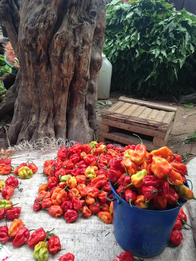
🍽 Food
A thick cornmeal porridge, very similar to fufu, traditionally served with cooked greens.
Frequently sold in the local markets, it has a strong, distinctive smoky flavor.
A hearty, savory peanut-based stew often served alongside rice or cassava.
🛍 Shopping · 🧘 Quiet spots
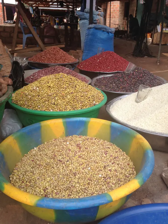
The absolute best spot to find fresh daily river catches and locally grown produce.
Look around these small shops for basic supplies and occasionally some interesting local fabrics.
Move away from the main docks to find a peaceful spot by the water, especially at sunset.
Quiet walks along the margins of the woodlands are best enjoyed in the early morning.
Water temperature…
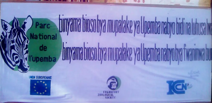
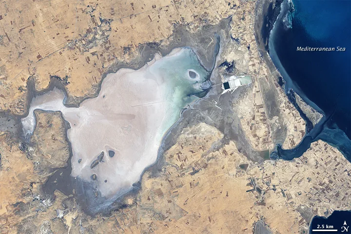
Malemba-Nkulu is a significant town located in the Haut-Lomami Province in the southeastern part of the Democratic Republic of the Congo. It sits on the right bank of the Lualaba River, which is the upper reach of the Congo River, and lies at the edge of the Upemba National Park, an area of immense ecological importance. The town serves as a historical and cultural heartland for the Luba people, playing a central role in the preservation of the region's heritage. Economically, Malemba-Nkulu is heavily reliant on fishing activities in the Lualaba and surrounding lakes, as well as agriculture, with rice and maize being the staple crops. Its geographic location near the Upemba Depression makes the region fertile yet difficult to access by road, often necessitating a reliance on river transport for trade. Despite infrastructure challenges, the town remains a vital commercial hub for fish and agricultural products transported across the province via the river network.
- Location: Congo - Kinshasa
- Population: ~25.430 (2024)
Best time to visit & climate
The most pleasant time to visit is May–Jul.
| Jan | Feb | Mar | Apr | May | Jun | Jul | Aug | Sep | Oct | Nov | Dec | |
|---|---|---|---|---|---|---|---|---|---|---|---|---|
| Avg °C | 25 | 26 | 26 | 26 | 27 | 26 | 26 | 29 | 29 | 28 | 26 | 25 |
| Rain mm | 175 | 132 | 150 | 86 | 8 | 1 | 2 | 5 | 31 | 93 | 191 | 204 |
Geography
Facts
- Malemba-Nkulu is situated on the right bank of the Lualaba River.
- The town borders the ecologically diverse Upemba National Park.
- Fishing is the primary economic activity for the local population.
- The region is a traditional heartland of the Luba ethnic group.
- Rice cultivation is the main agricultural activity in the river plains.
- River transport is crucial for the town's connection to regional markets.
Explore nearby
Notable places around
Route planner — Car & Motorhome
Where do you start? We build the route here, with stops and country notes along the way.
© OpenStreetMap contributors · OpenRouteService
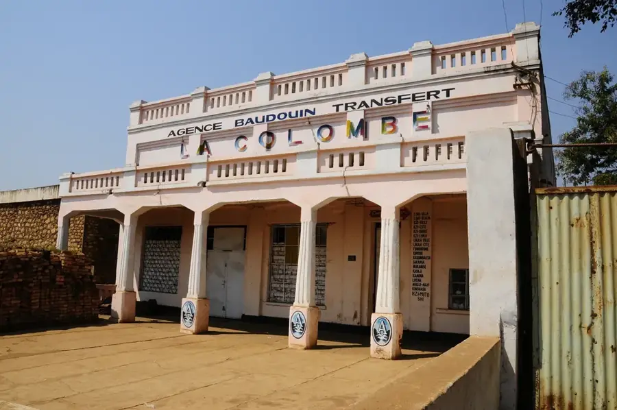
Sights in the town Malemba-Nkulu (1)
Frequently asked questions
Where is Malemba-Nkulu located?
What is the economic basis?
What natural attractions are there?
What is the climate like?
How to get to Malemba-Nkulu?
Malemba-Nkulu: where is it located?
Malemba-Nkulu: when is the best time to visit?
Malemba-Nkulu: why is it worth visiting?

Nearby cities


Nature
More places