Plizio Visual Lab
Kabongo

ℹ️Practical info — Kabongo
▾
🌤 Weather — 5 days
📍 Nearby
Sights nearby
💡 Tips
- Motorbike taxis (moto-taxis) are the quickest way to get around the sprawling dirt roads of the town.
- French is the administrative language, but knowing some Swahili or Kiluba will help you navigate the markets.
- Dust can be intense; wearing a light scarf over your nose and mouth on motorcycle rides is a local habit.
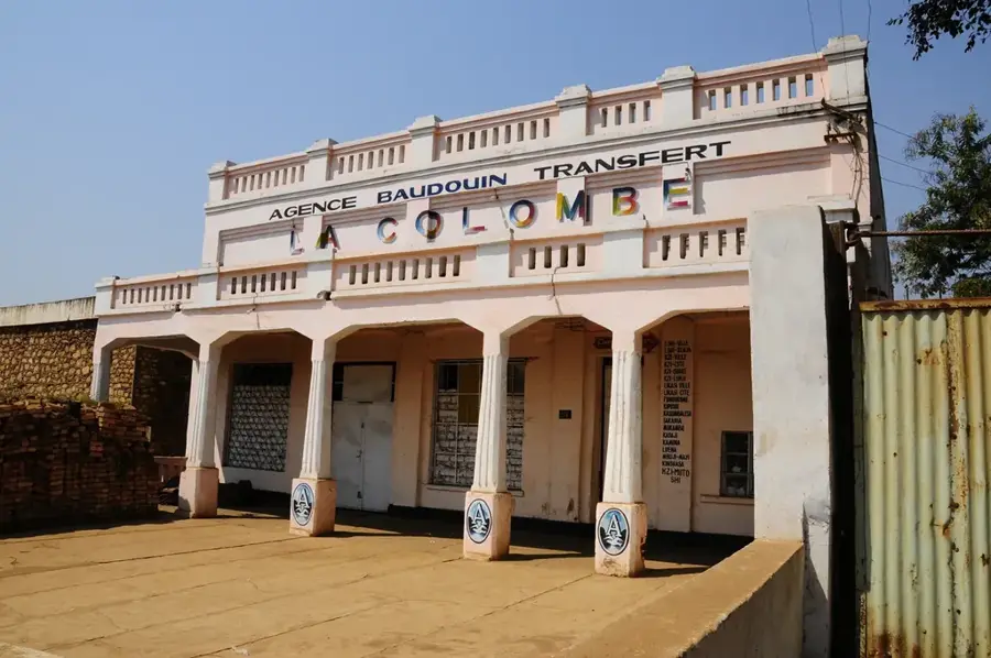
- Administrative buildings often restrict photography; always keep your camera away near government offices.
🍽 Food
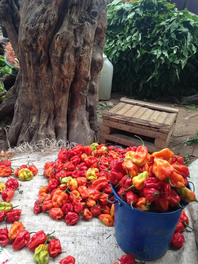
A dense maize or cassava dish, best eaten at local family-run eateries with a side of greens.
Occasionally brought in from nearby lakes, seasoned simply and fried until golden.
Available on almost every street corner, they make for an excellent, safe snack while walking.
🛍 Shopping · 🧘 Quiet spots
The central market stalls sell brightly colored, wax-printed cloths popular for making local garments.
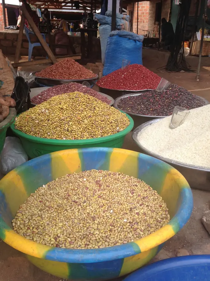
Buy locally grown cassava and maize directly from farmers on market days.
The tree-lined street near the main administrative buildings is relatively quiet on weekends.
Take a short walk out of the bustling center to see the peaceful agricultural fields surrounding the town.
Water temperature…
Kabongo is a significant regional center located in the northeastern part of the Haut-Lomami Province in the Democratic Republic of the Congo. Geographically, the town lies in a transition zone between the southern highlands and the northern basin landscapes, providing a climate highly favorable for agriculture. Kabongo primarily functions as a major agricultural marketplace for the surrounding area, with a focus on the production of maize, cassava, and groundnuts. These goods are transported via regional road links to larger mining centers in the south. Beyond agriculture, the town serves as an administrative hub and the seat of local authorities coordinating the development of the Kabongo territory. Life in the town is closely tied to the seasonal rhythms of harvesting and trade, which is reflected in its bustling market atmosphere. Historically, Kabongo played a role as a link between various ethnic groups and as an outpost during the colonial expansion into the Katanga interior. Despite its relatively remote location, the town possesses essential educational and health facilities critical for the rural population. Infrastructure projects aimed at improving transportation routes are a key focus to facilitate easier access to national markets.
Best time to visit & climate
The most pleasant time to visit is May–Jul.
| Jan | Feb | Mar | Apr | May | Jun | Jul | Aug | Sep | Oct | Nov | Dec | |
|---|---|---|---|---|---|---|---|---|---|---|---|---|
| Avg °C | 23 | 24 | 23 | 23 | 24 | 23 | 24 | 26 | 27 | 25 | 24 | 23 |
| Rain mm | 171 | 143 | 155 | 92 | 11 | 2 | 2 | 17 | 46 | 105 | 177 | 198 |
Geography
Facts
- Kabongo is located near the border with Tanganyika Province.
- The town's economy is almost entirely based on the agricultural sector.
- Maize is the primary export commodity of the Kabongo region.
- The town has a local airstrip suitable for small aircraft.
- Kabongo is part of the historical Katanga district.
- The annual rainy season typically lasts from October to April.
Explore nearby
Notable places around
Route planner — Car & Motorhome
Where do you start? We build the route here, with stops and country notes along the way.
© OpenStreetMap contributors · OpenRouteService
Frequently asked questions
What kind of city is Kabongo?
What is the condition of the roads there?
What is grown in the region?
Is there medical care available?
When should you visit Kabongo?
Kabongo: where is it located?
Kabongo: when is the best time to visit?
Kabongo: why is it worth visiting?

Nearby cities


More places