Plizio Visual Lab
Bukama
ℹ️Practical info — Bukama
▾
🌤 Weather — 5 days
📍 Nearby
Sights nearby
💡 Tips
- The railway bridge crossing the Lualaba River is a key landmark and an important transportation hub.
- Be prepared for significant delays and flexible schedules if traveling by train.
- As a major transit point, always keep a close eye on your belongings in crowded station areas.
- Swahili is commonly spoken here along with French; learning basic Swahili phrases helps.
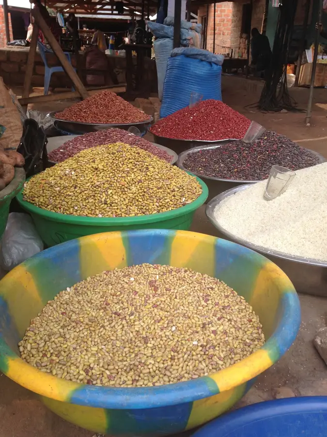
🍽 Food
A stiff maize porridge often served with fresh caught river fish.
Small dried fish often used to flavor rich local stews.
Savory meat skewers sold at stalls near the train station.
🛍 Shopping · 🧘 Quiet spots
A bustling spot for transit goods and quick snacks for the road.
The best place for fresh local produce and everyday household items.
A peaceful retreat from the busy transit hubs in town.
Quiet moments observing the old colonial-era infrastructure.
Water temperature…
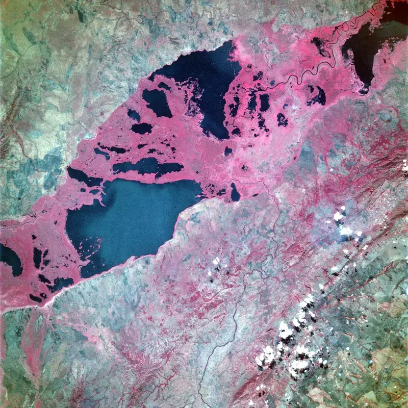
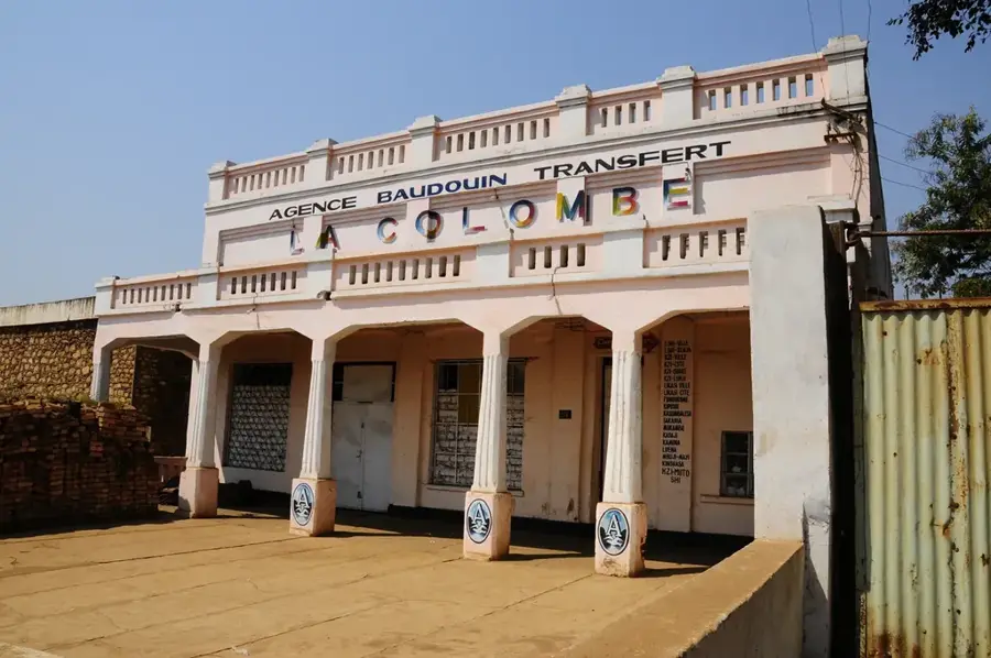
Bukama is a prominent port city on the Lualaba River, located in the Haut-Lomami Province in the southern Democratic Republic of the Congo. The town is situated at a strategic location where the railway line from Lubumbashi crosses the river and where the navigable stretch of the Lualaba extends northward. This dual role as both a railway hub and a river port makes Bukama an essential logistical center for goods transport between the Katanga mining region and the country's north. The local economy is heavily influenced by fishing, as the river and the nearby lakes of the Upemba Depression provide abundant stocks that are traded across the region. Geographically, the city is surrounded by vast marshes and lakes, which form part of an ecologically significant wetland system. The urban landscape is characterized by the imposing railway bridge, a notable engineering feat from the colonial era. Beyond trade, agriculture, particularly the cultivation of rice and maize in the fertile floodplains, plays a supportive role. Bukama also serves as an administrative center for the surrounding territory and acts as a cultural melting pot for various ethnic groups drawn by the river and commercial opportunities.
- Location: Congo - Kinshasa
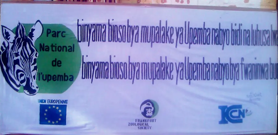
- Nearby: Upemba National Park (84 km)
- Population: ~105.530 (2023)
Best time to visit & climate
The most pleasant time to visit is May–Jul.
| Jan | Feb | Mar | Apr | May | Jun | Jul | Aug | Sep | Oct | Nov | Dec | |
|---|---|---|---|---|---|---|---|---|---|---|---|---|
| Avg °C | 24 | 25 | 25 | 25 | 25 | 24 | 24 | 27 | 29 | 28 | 26 | 25 |
| Rain mm | 193 | 160 | 169 | 73 | 3 | 1 | 1 | 2 | 19 | 80 | 176 | 216 |
Geography
Facts
- Bukama is located on the upper reaches of the Congo River, locally known as the Lualaba.
- The city serves as a vital transshipment hub for the SNCC national railway.
- The navigable portion of the river extends from Bukama up to Kongolo.
- The region is part of the Upemba Depression, which contains over 50 lakes.
- The Bukama railway bridge is one of the city's most prominent landmarks.
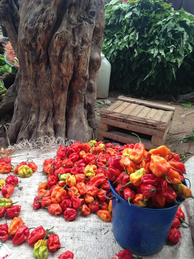
- The town is a well-known center for the trade of dried and smoked fish.
Explore nearby
Notable places around
Route planner — Car & Motorhome
Where do you start? We build the route here, with stops and country notes along the way.
© OpenStreetMap contributors · OpenRouteService
Frequently asked questions
Where exactly is Bukama located?
What is the tourist attraction of Bukama?
What is the best way to travel to Bukama?
What are the main products of the city?
Are there natural attractions nearby?
Bukama: where is it located?
Bukama: when is the best time to visit?
Bukama: why is it worth visiting?

Nearby cities


More places