Plizio Visual Lab
Manika Plateau
Weather…
Water temperature…
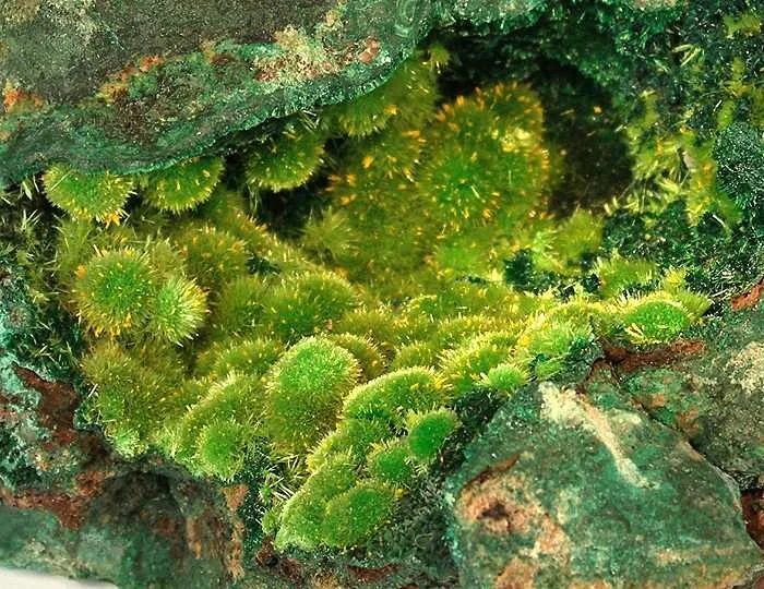
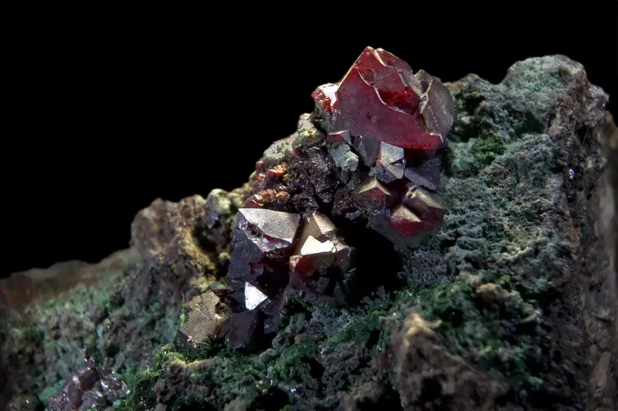
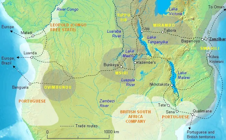
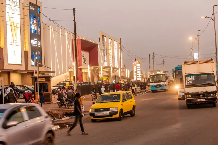
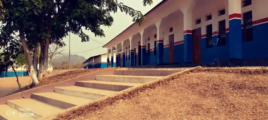
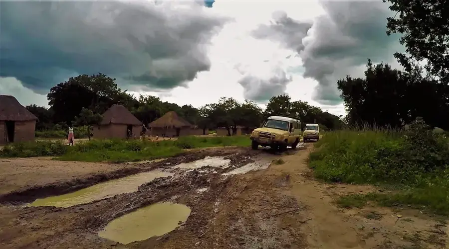
The Manika Plateau, also known as the Kolwezi Plateau, is a high-altitude region in the Lualaba Province in the southeastern Democratic Republic of the Congo. It represents one of the most geologically rich parts of the African continent and is an essential component of the Central African Copperbelt, one of the world's largest deposits of copper and cobalt. The average altitude of the plateau is around 1,500 meters above sea level, which gives it a more temperate, subtropical highland climate compared to the surrounding lowlands. This geological feature has significantly shaped the region's history and economy; mining has been practiced here since the pre-colonial era and was massively industrialized during the Belgian colonial period. The city of Kolwezi, the administrative and economic center of the plateau, is almost entirely dependent on mining. The landscape is characterized by Miombo woodland savanna, although large areas have been heavily altered by mining activities, both open-pit and underground, and the associated urban expansion. This has led to considerable ecological challenges, including deforestation and water pollution.
Best time to visit & climate
The most pleasant time to visit is May, Jul, Aug.
| Jan | Feb | Mar | Apr | May | Jun | Jul | Aug | Sep | Oct | Nov | Dec | |
|---|---|---|---|---|---|---|---|---|---|---|---|---|
| Avg °C | 20 | 21 | 21 | 20 | 19 | 18 | 18 | 21 | 24 | 24 | 22 | 21 |
| Rain mm | 236 | 156 | 171 | 61 | 4 | 0 | 0 | 6 | 14 | 66 | 184 | 253 |
📋 Practical info
Geography
Facts
- The average altitude of the plateau is 1,500 meters.
- Kolwezi is known for its huge open-pit copper and cobalt mines.
- The DRC is the world's largest producer of cobalt, with much of it coming from this region.
- The name 'Manika' means 'copper' in local languages.
- Before colonization, copper was smelted here in traditional furnaces.
- The plateau is part of the Lunda-Katanga swell, a major watershed in Central Africa.
Explore nearby
Notable places around
Route planner — Car & Motorhome
Where do you start? We build the route here, with stops and country notes along the way.
© OpenStreetMap contributors · OpenRouteService
Sights nearby
Frequently asked questions
What is the Manika Plateau?
Is it developed for tourism?
How high is the plateau?
Are there national parks there?
What is the climate like?
Manika Plateau: where is it located?
Manika Plateau: when is the best time to visit?
Manika Plateau: why is it worth visiting?

Nearby cities
More places