Plizio Visual Lab
Plechy
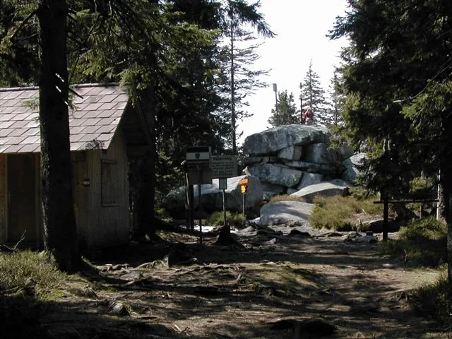
Plechý, reaching an elevation of 1,378 meters, is the highest peak in the Czech part of the Bohemian Forest (Šumava) and is located directly on the border between the Czech Republic and Austria. The mountain is renowned for its impressive glacial relics, most notably Plešné jezero (Lake Plešné), a glacial lake set at the foot of the peak's imposing 200-meter-high northern cliff. Geologically, the mountain is composed of granite, which accounts for the distinctive rock formations and boulder fields characteristic of the region. Near the summit stands a monument dedicated to the poet Adalbert Stifter, erected in 1877. The area is part of the Šumava National Park and serves as a vital sanctuary for rare flora and fauna typical of mixed mountain forests. Hikers value Plechý for its challenging trails and the pristine natural environment near the border triangle of Czech Republic, Austria, and Germany, with views of the Alps.
- Location: Czech Republic
- Top sights: Hochwald · Museum 'Stifter und der Wald' · I. zóna NP
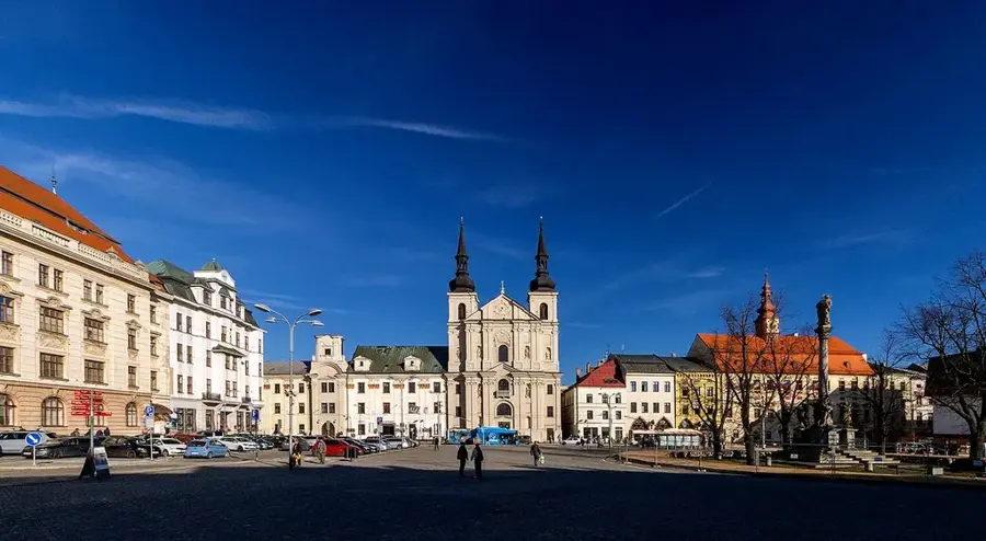
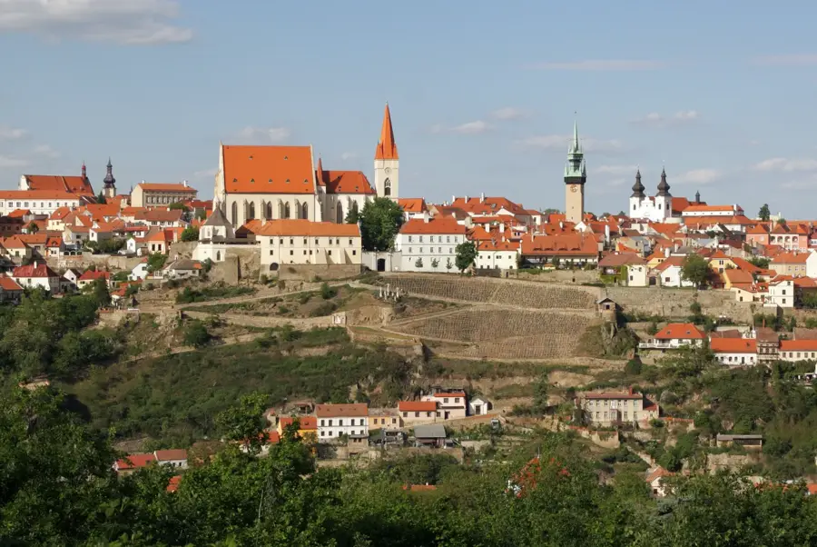
- Nearby: Frymburk (26 km)
Best time to visit & climate
The most pleasant time to visit is Jun–Aug.
| Jan | Feb | Mar | Apr | May | Jun | Jul | Aug | Sep | Oct | Nov | Dec | |
|---|---|---|---|---|---|---|---|---|---|---|---|---|
| Avg °C | -3 | -2 | 2 | 7 | 12 | 16 | 18 | 18 | 13 | 8 | 3 | -2 |
| Rain mm | 66 | 49 | 59 | 50 | 90 | 105 | 102 | 103 | 68 | 60 | 54 | 58 |
📋 Practical info
Geography
Facts
- Elevation is 1,378 meters above sea level
- Glacial Lake Plešné is situated at 1,090 meters
- Stifter monument is 14.5 meters high total
- Located directly on the Czech-Austrian border
- Part of the Šumava National Park core zone
- Highest peak in the Bohemian Forest on the Czech side
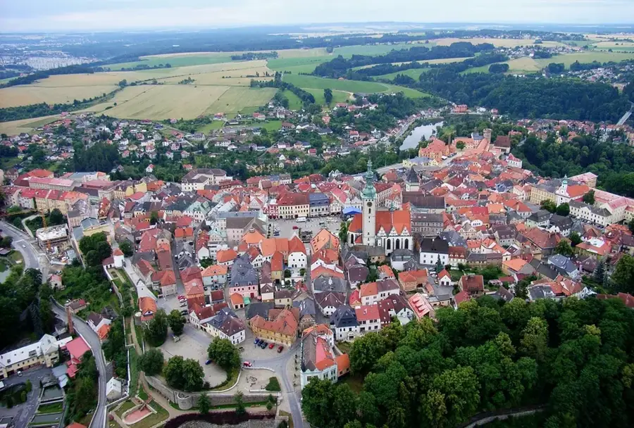
Explore nearby
Notable places around
Route planner — Car & Motorhome
Where do you start? We build the route here, with stops and country notes along the way.
© OpenStreetMap contributors · OpenRouteService
Sights in the town Plechy (7)
Sights nearby
Frequently asked questions
How high is Plechý?
Is the mountain on a border?
Which lake is located below the summit?
What is the Adalbert Stifter Monument?
How do you get to the summit?
Plechy: where is it located?
Plechy: what is there to see?
Plechy: when is the best time to visit?
Plechy: why is it worth visiting?

Nearby cities