Plizio Visual Lab
Karkotis Valley
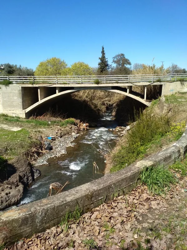
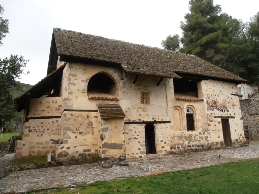
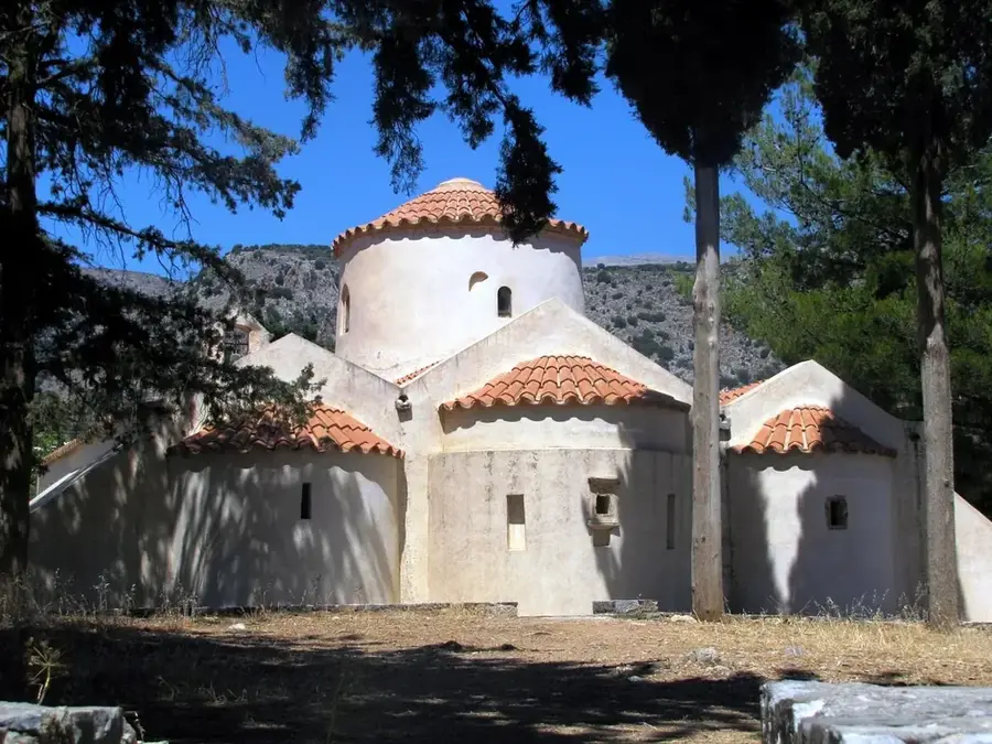
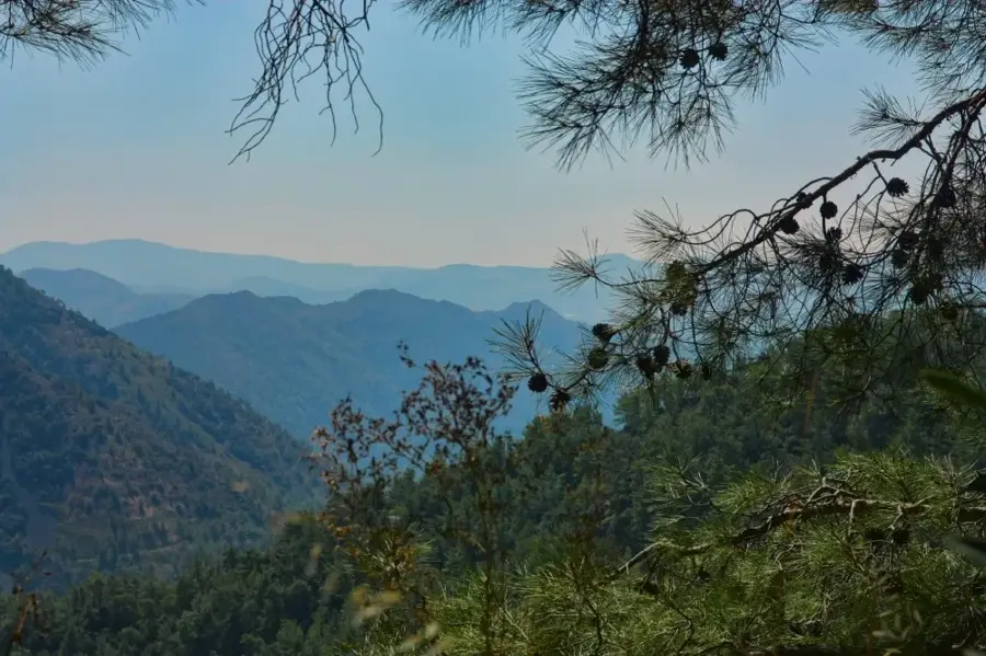
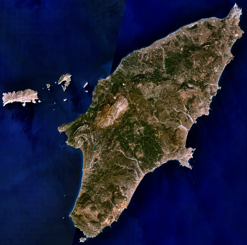
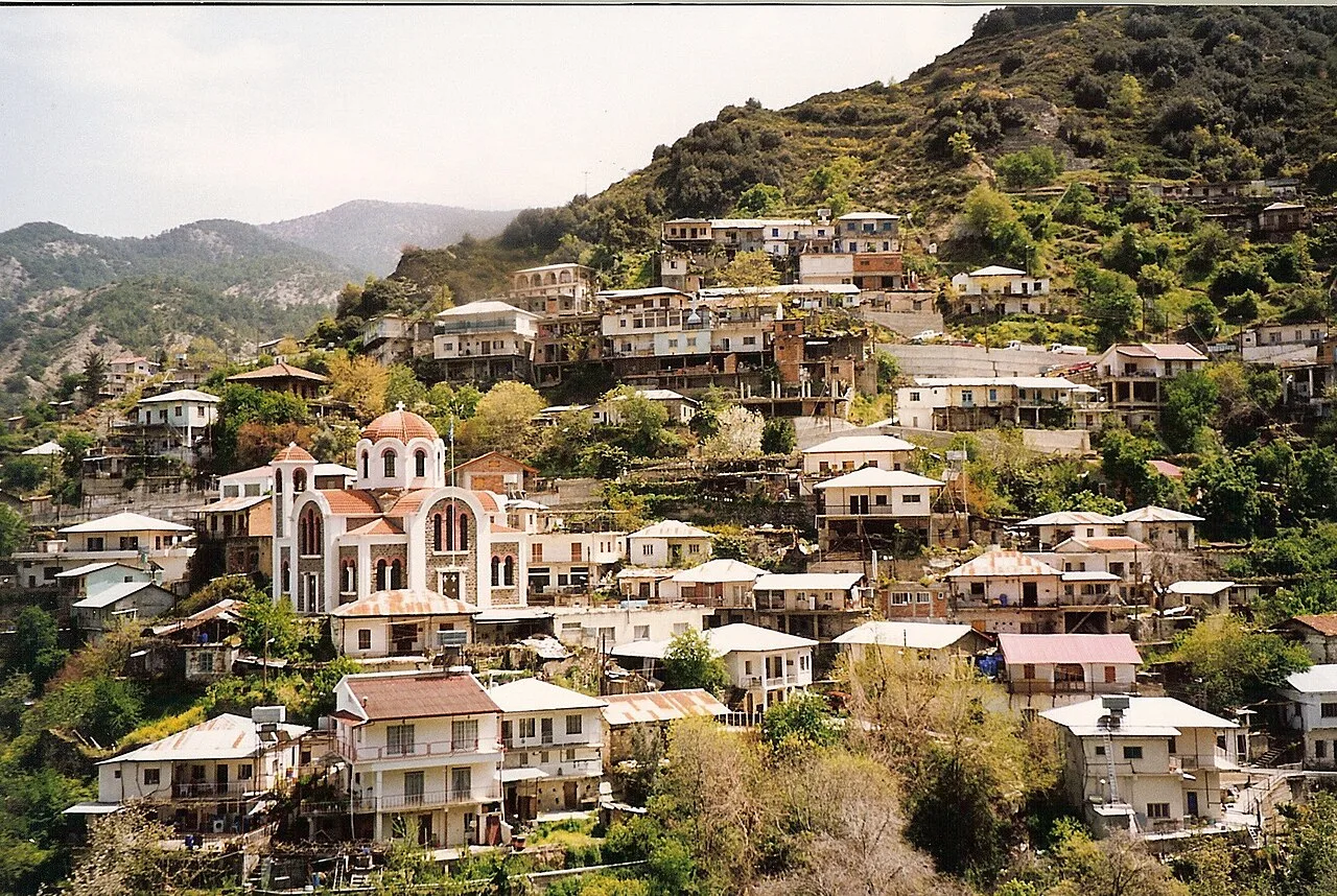
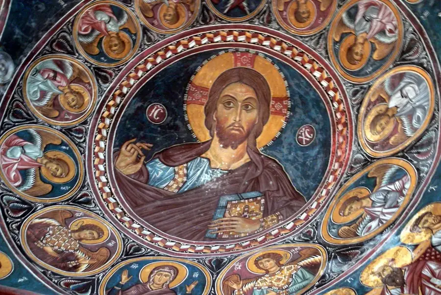
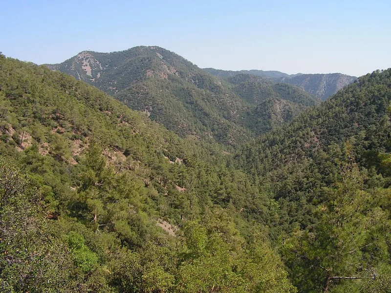
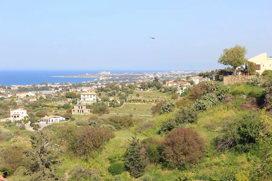
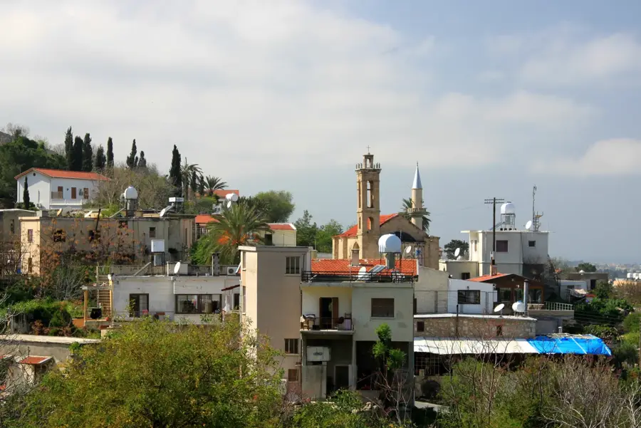
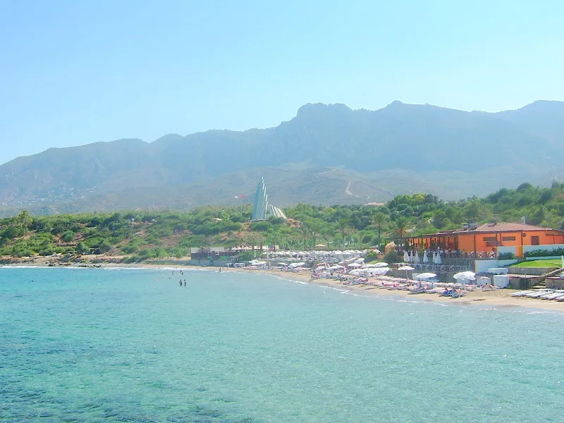
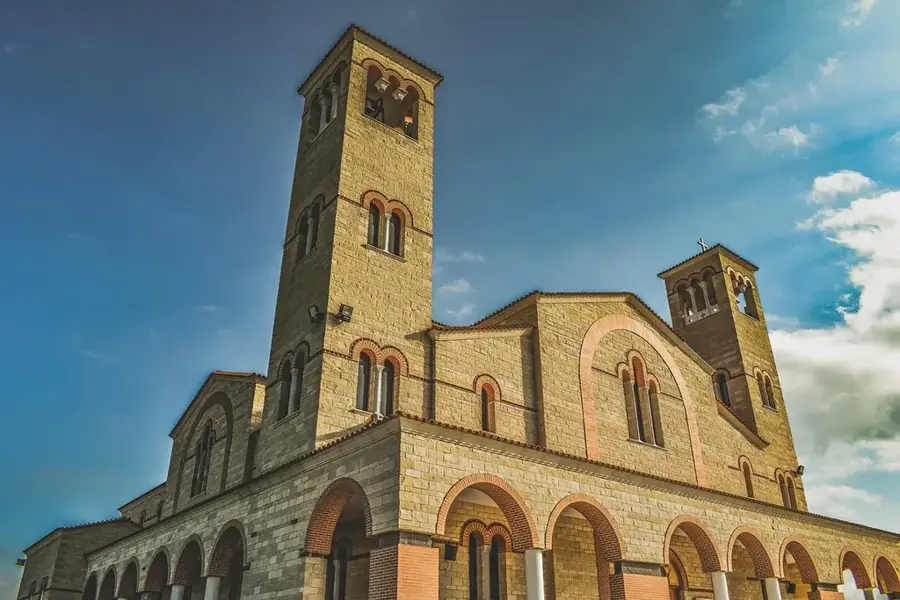
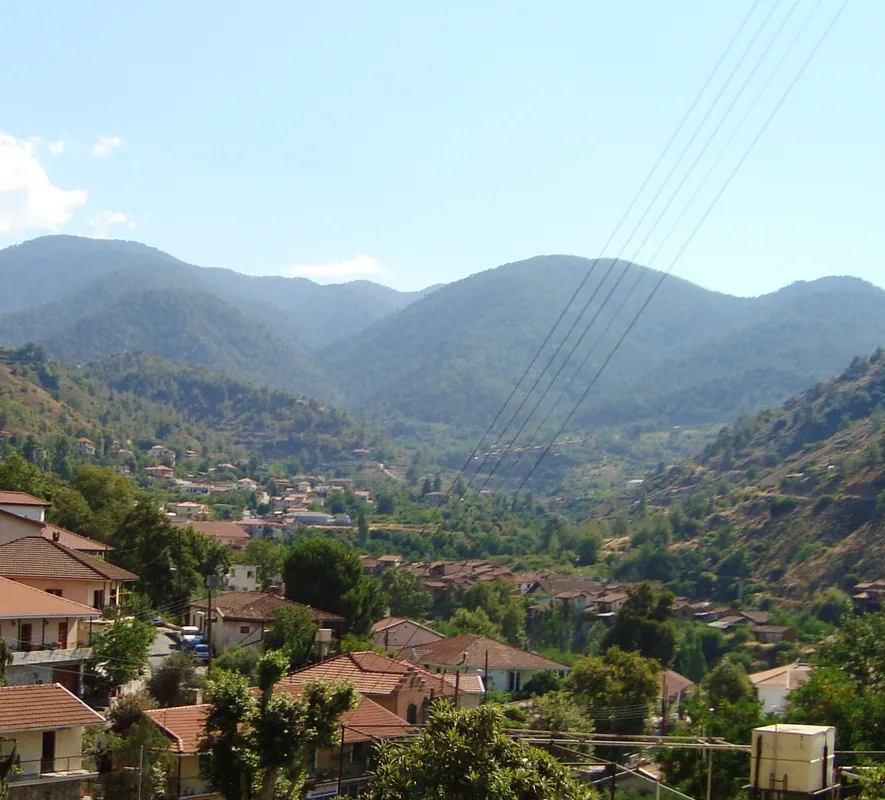
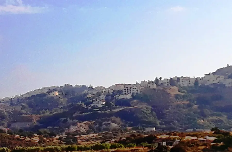
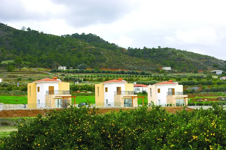
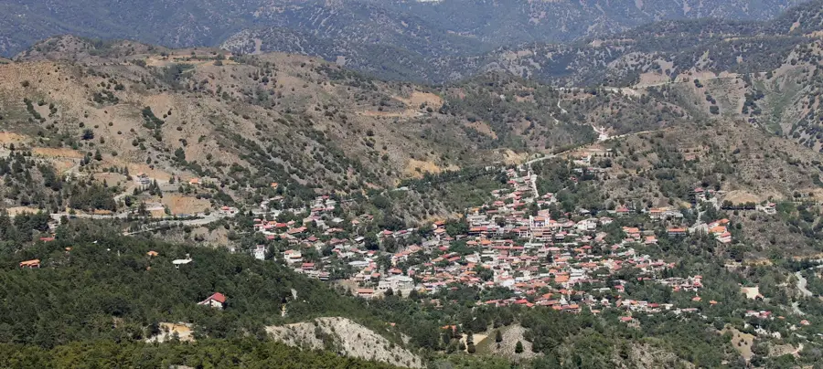
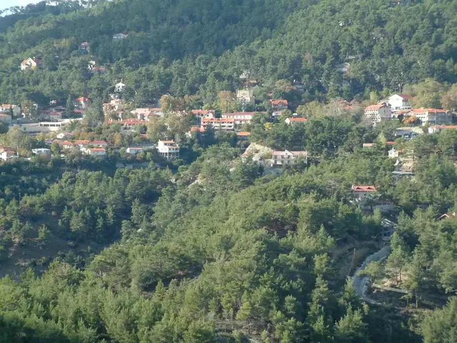
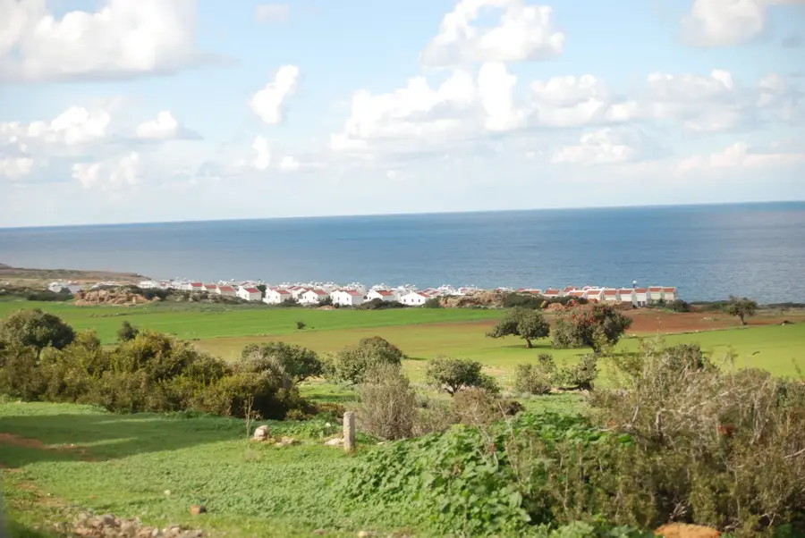
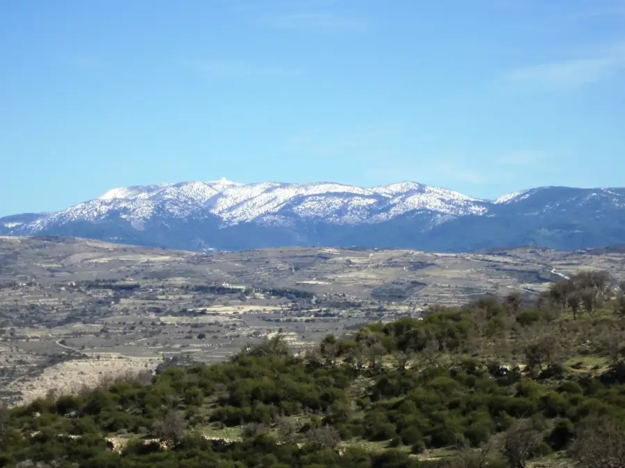
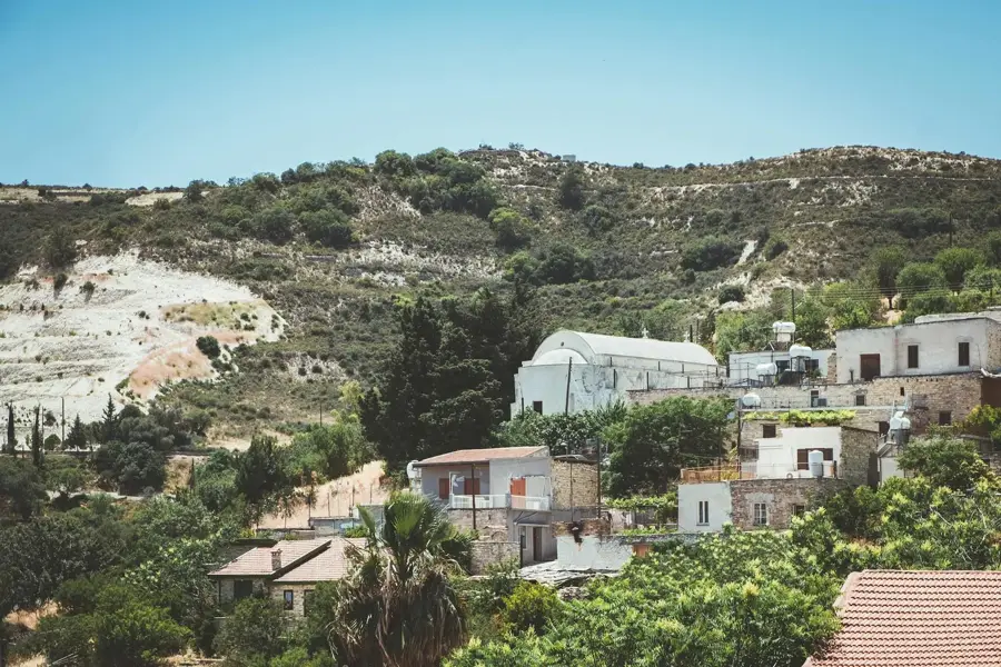
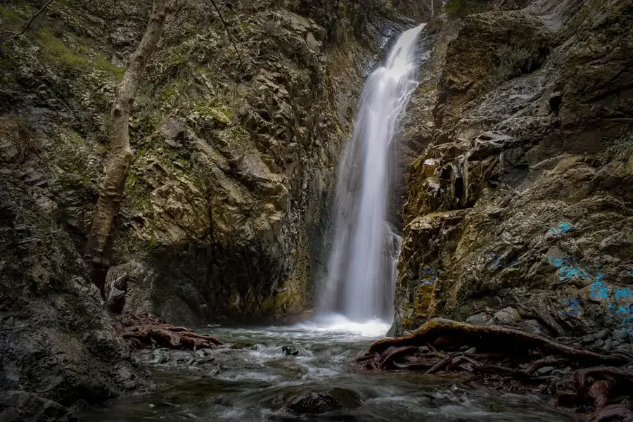
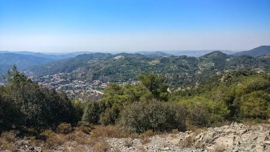
The Karkotis Valley, also known as the Solea Valley, extends along the northern slopes of the Troodos Mountains in the Nicosia District. It is traversed by the Karkotis River, the only river in Cyprus with year-round flow, making the region the most fertile on the island. Historically, the valley was a significant center for copper mining, with the Skouriotissa mine being used since antiquity. The region is known for its photogenic villages like Kakopetria and Galata, which house outstanding examples of Byzantine sacred art. Geographically, the valley forms a natural corridor from the high mountains to the Morphou Plain. Today, the region is considered the 'fruit basket' of Cyprus, famous for the cultivation of apples, cherries, and peaches on terraced slopes. The Karkotis River also feeds important reservoirs that are essential for the irrigation of the central plain. The combination of rich cultural heritage and intact nature makes the valley one of the most important destinations for rural tourism.
- Location: Cyprus
- Nearby: Mount Olympus (Chionistra) (5 km)
Best time to visit & climate
The most pleasant time to visit is Apr, May, Oct.
| Jan | Feb | Mar | Apr | May | Jun | Jul | Aug | Sep | Oct | Nov | Dec | |
|---|---|---|---|---|---|---|---|---|---|---|---|---|
| Avg °C | 11 | 11 | 14 | 17 | 22 | 27 | 30 | 30 | 27 | 22 | 17 | 13 |
| Rain mm | 83 | 51 | 28 | 14 | 10 | 2 | 0 | 1 | 6 | 20 | 38 | 85 |
📋 Practical info
Geography
Facts
- The Karkotis River has a total length of about 40 kilometers.
- The Skouriotissa mine is one of the oldest still-active copper mines in the world.
- The Solea region contains three of the UNESCO-protected barn-roof churches.
- The Solea Dam was built for the water regulation of the valley.
- Kakopetria is situated at the confluence of the Karkotis and Garillis rivers.
- Several thousand tons of stone fruit are harvested in the valley annually.
Explore nearby
Notable places around
Route planner — Car & Motorhome
Where do you start? We build the route here, with stops and country notes along the way.
© OpenStreetMap contributors · OpenRouteService
Sights in the town Karkotis Valley (1)
Sights nearby
Frequently asked questions
Where is Karkotis Valley located?
Are there UNESCO World Heritage sites?
Does water flow all year round?
Which villages should I visit?
Is the valley suitable for families?
Karkotis Valley: where is it located?
Karkotis Valley: when is the best time to visit?
Karkotis Valley: why is it worth visiting?

Nearby cities
History & landmarks

Nature
More places