Plizio Visual Lab
Snježnik
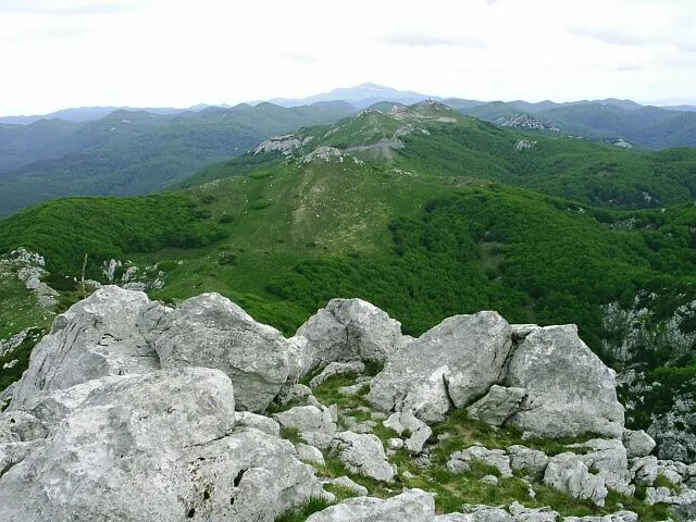
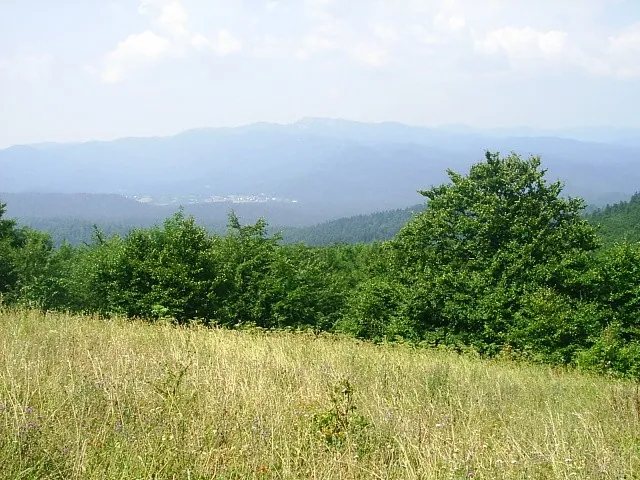
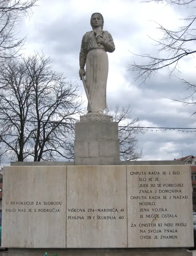
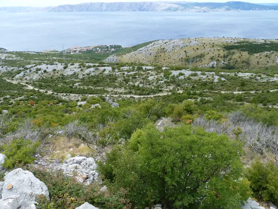
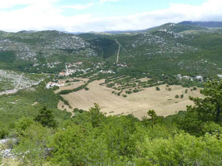
Snježnik is a prominent limestone massif in the Gorski Kotar region, located near Risnjak National Park in northwestern Croatia. Its highest summit reaches an elevation of 1,506 meters and is known for its rocky ridges and characteristic alpine vegetation. The name Snježnik is derived from snow (Croatian: snijeg), which often remains in its gullies until early summer due to the high elevation and heavy snowfall. Geologically, the massif is characterized by rugged rock formations and deep karst fissures, providing a stark contrast to the surrounding forested valleys. From its barren peaks, hikers can enjoy spectacular views of the Adriatic Sea, the islands of the Kvarner Gulf, and, on clear days, even the Italian Dolomites. The flora of Snježnik is particularly significant, as it hosts many rare mountain plants and endemics thriving in the rocky crevices. Historically, the mountain served as a vital landmark for sailors navigating the Kvarner Gulf. Despite its proximity to the Platak ski resort, Snježnik has maintained its wild and pristine character, attracting hikers who appreciate alpine-style ridges and panoramic coastal vistas.
- Location: Croatia
- Top sights: Veliki Risnjak · Radeševo · Snježnik
- Nearby: Risnjak NP (Crni Lug) (5 km)
Best time to visit & climate
The most pleasant time to visit is Jun–Aug.
| Jan | Feb | Mar | Apr | May | Jun | Jul | Aug | Sep | Oct | Nov | Dec | |
|---|---|---|---|---|---|---|---|---|---|---|---|---|
| Avg °C | -1 | 0 | 4 | 9 | 13 | 17 | 19 | 19 | 14 | 10 | 5 | 0 |
| Rain mm | 81 | 96 | 83 | 85 | 105 | 88 | 71 | 89 | 131 | 122 | 139 | 109 |
📋 Practical info
Geography
Facts
- The summit of Snježnik reaches a height of 1,506 meters.
- The name Snježnik literally means 'Snowy Mountain' in Croatian.
- It offers one of the best panoramic views of the Kvarner Bay islands.
- Geologically, it is part of a larger Jurassic limestone complex.
- The Platak recreational area is the main starting point for ascents.
- The area is home to rare alpine plants like the edelweiss and mountain pinks.
Explore nearby
Notable places around
Route planner — Car & Motorhome
Where do you start? We build the route here, with stops and country notes along the way.
© OpenStreetMap contributors · OpenRouteService
Sights in the town Snježnik (3)
Radeševo
Mountain in Croatia, located in Gorski Kotar near the Snježnik massif.
Snježnik
Mountain in Gorski Kotar, Croatia, reaching 1506 m in height.
Sights nearby
Frequently asked questions
Where is Snježnik located?
How high is the peak?
Where does the name Snježnik come from?
Where is the best place to start the hike?
How is the view from the summit?
Snježnik: where is it located?
Snježnik: what is there to see?
Snježnik: when is the best time to visit?
Snježnik: why is it worth visiting?

Nearby cities