Plizio Visual Lab
Risnjak
Weather…
Water temperature…
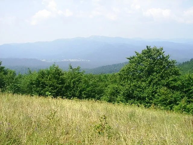
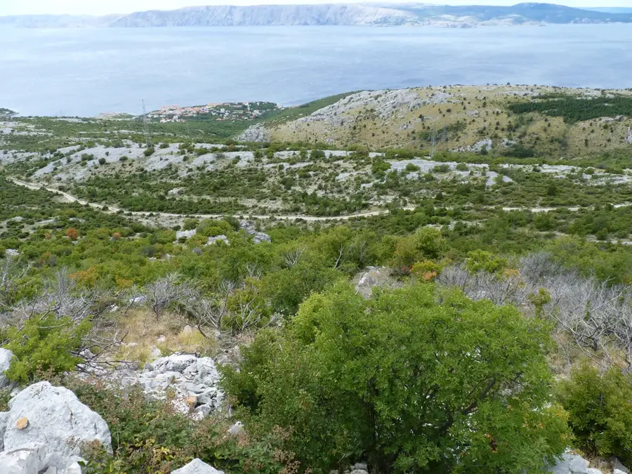
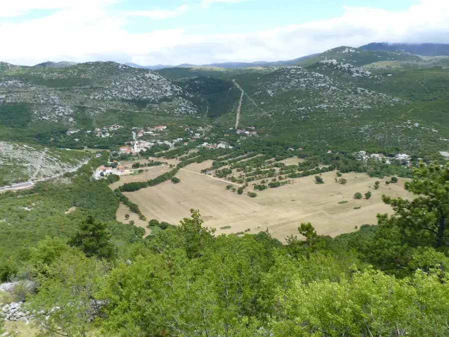
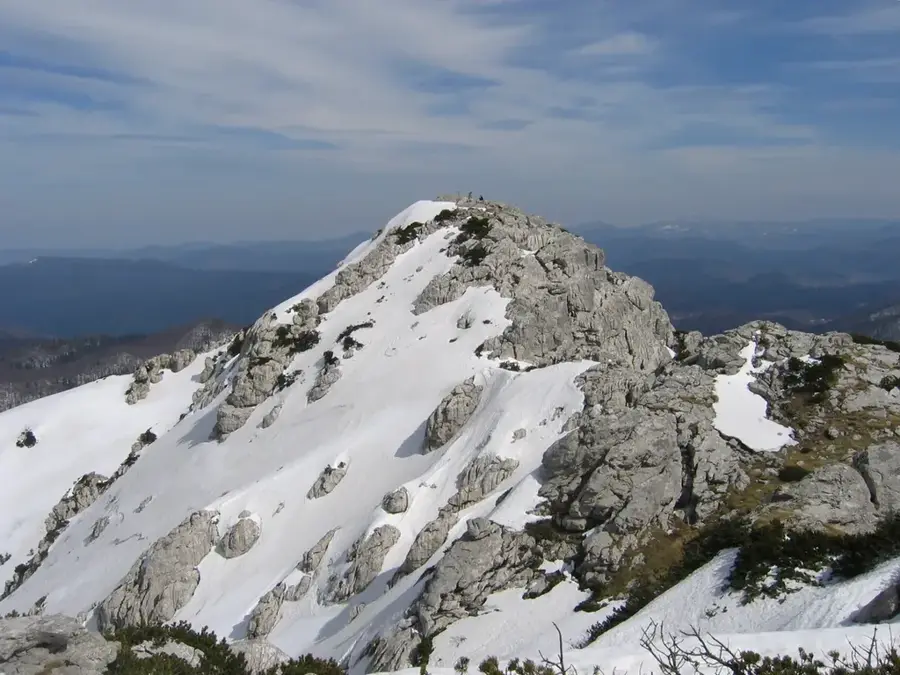
Risnjak National Park is located in the densely forested Gorski Kotar region of northwestern Croatia and was established on September 15, 1953. The centerpiece of the park is the limestone Risnjak massif, with its highest peak, Veliki Risnjak, reaching an elevation of 1,528 meters. Geologically, the area belongs to the Dinaric Alps and is characterized by distinct karst phenomena, such as deep sinkholes, caves, and jagged rock formations. The mountain's name is derived from the lynx (Croatian: ris), which finds one of its most vital European refuges in this remote wilderness. The flora is exceptionally diverse, with over 1,100 recorded plant species, ranging from thick beech and fir forests to subalpine meadows on the summits. The area also functions as a major drainage divide between the Adriatic and Black Sea watersheds. In addition to the lynx, the park is home to brown bears, wolves, and chamois, making it a cornerstone of regional biodiversity. Today, Risnjak is a significant hub for scientific research and a popular destination for hikers seeking untouched nature away from the coastal tourist centers.
- Location: Croatia
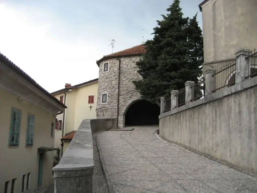
- Top sights: Veliki Risnjak · Kopa (charcoal and potash furnace) · Rural architecture
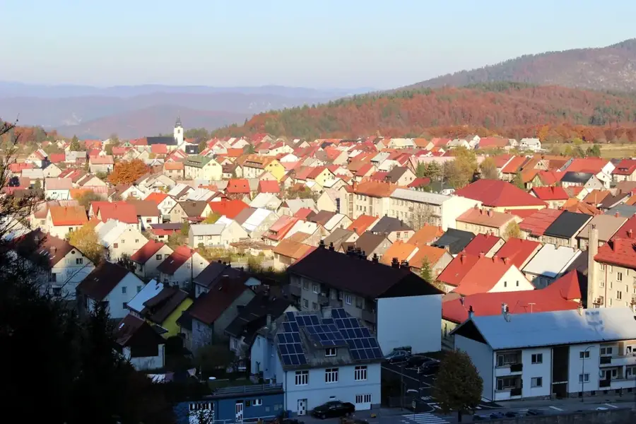
- Nearby: Crni Lug, Delnice (6 km)
Best time to visit & climate
The most pleasant time to visit is Jun–Aug.
| Jan | Feb | Mar | Apr | May | Jun | Jul | Aug | Sep | Oct | Nov | Dec | |
|---|---|---|---|---|---|---|---|---|---|---|---|---|
| Avg °C | -1 | 0 | 4 | 9 | 13 | 17 | 19 | 19 | 14 | 10 | 5 | 0 |
| Rain mm | 81 | 96 | 83 | 85 | 105 | 88 | 71 | 89 | 131 | 122 | 139 | 109 |
📋 Practical info
Geography
Facts
- The national park was founded on September 15, 1953.
- The highest peak is Veliki Risnjak at 1,528 meters above sea level.
- It contains more than 1,140 different species of plants.
- The park covers a total area of approximately 63.5 square kilometers.
- One of the few places where bears, wolves, and lynx coexist naturally.
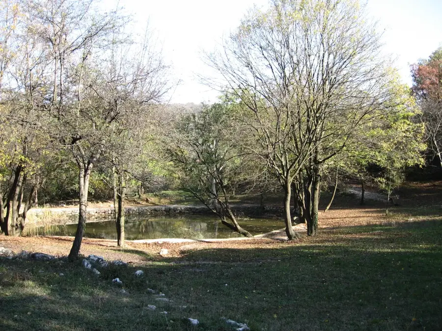
- The source of the Kupa River within the park is a spectacular turquoise karst lake.
Explore nearby
Notable places around
Route planner — Car & Motorhome
Where do you start? We build the route here, with stops and country notes along the way.
© OpenStreetMap contributors · OpenRouteService
Sights in the town Risnjak (3)
Sights nearby
Frequently asked questions
Where does the name Risnjak come from?
Where is the main entrance to the National Park?
How long is the hike to the summit?
Is there a mountain hut on Risnjak?
What else can you do besides hiking?
Risnjak: where is it located?
Risnjak: what is there to see?
Risnjak: when is the best time to visit?
Risnjak: why is it worth visiting?

Nearby cities