Plizio Visual Lab
Hrvatski Kras
Weather…
Water temperature…
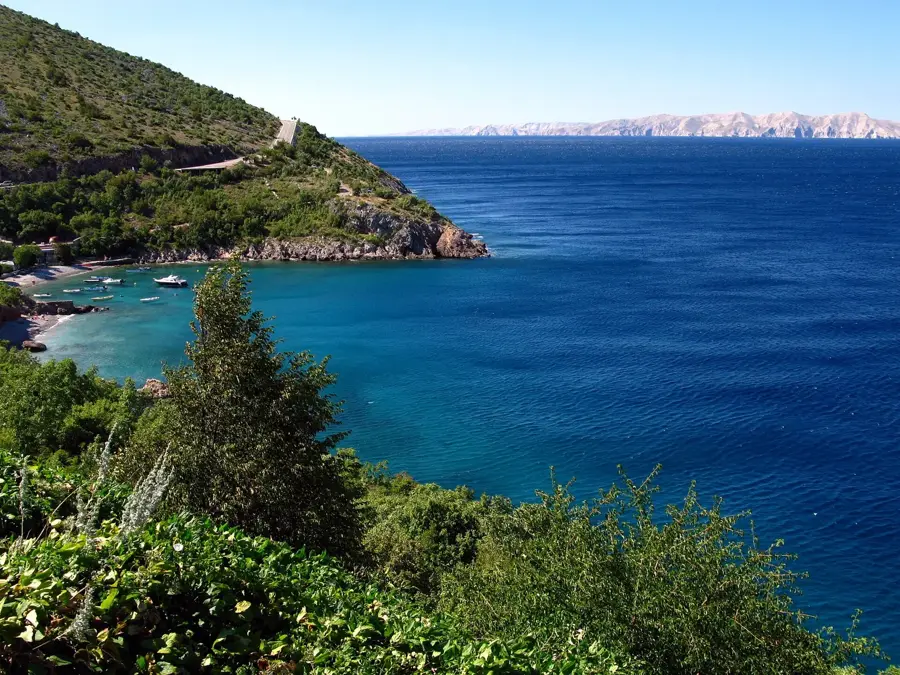
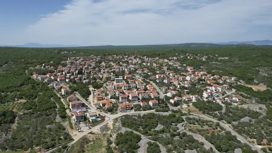
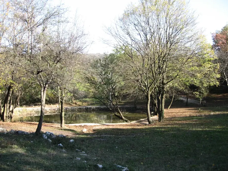
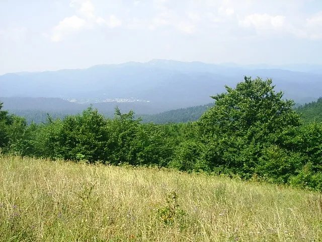
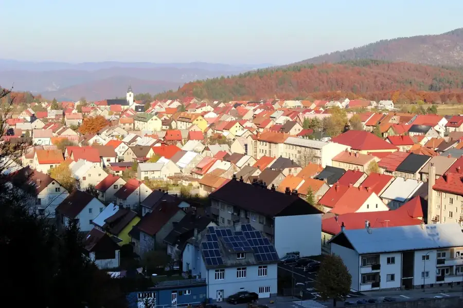
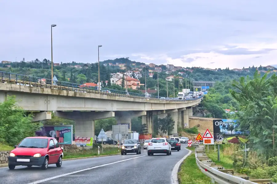
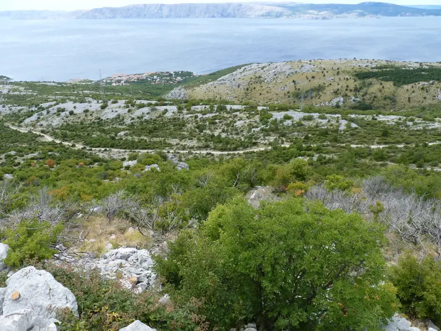
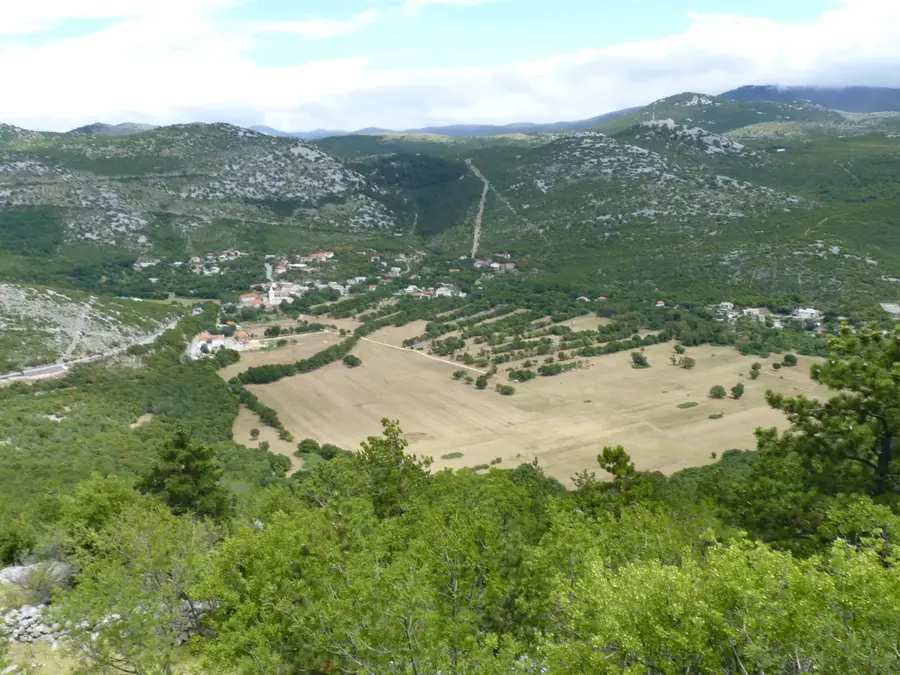
The Croatian Karst (Hrvatski kras) is a geological region covering more than half of Croatia's territory and forms a significant part of the wider Dinaric Karst. This relief was shaped by the chemical weathering of soluble rocks, primarily limestone and dolomite, creating a unique landscape of deep canyons, caves, and sinkholes. The region hosts some of Europe's most spectacular natural wonders, such as the Plitvice Lakes and Krka National Parks, where water flows over distinctive travertine barriers. A central feature of the Croatian karst is its complex hydrogeology, characterized by sinking rivers that disappear underground and resurface elsewhere as powerful springs. The Lika region and the Velebit mountain range constitute the heart of this landscape, with Velebit being recognized as a UNESCO Biosphere Reserve. Historically, settling in the karst was challenging due to the scarcity of surface water and thin soils, leading to unique agricultural adaptations like dry-stone wall construction. Today, the protection of karst groundwater is of strategic importance for Croatia's national drinking water supply. The biodiversity of the karst is exceptionally high, featuring numerous endemic species that have survived in isolated cave systems and remote mountain valleys.
- Location: Croatia
- Top sights: Risnjak · Risnjak National Park · Biljevina
- Nearby: Crni Lug, Delnice (5 km)
Best time to visit & climate
The most pleasant time to visit is Jun–Aug.
| Jan | Feb | Mar | Apr | May | Jun | Jul | Aug | Sep | Oct | Nov | Dec | |
|---|---|---|---|---|---|---|---|---|---|---|---|---|
| Avg °C | -1 | 0 | 4 | 9 | 14 | 18 | 20 | 20 | 14 | 10 | 5 | 0 |
| Rain mm | 85 | 99 | 85 | 95 | 114 | 93 | 80 | 97 | 140 | 124 | 135 | 105 |
📋 Practical info
Geography
Facts
- Approximately 52% of Croatia's land surface is composed of karst formations.
- The deepest cave in the Croatian karst is Lukina Jama, reaching 1,431 meters in depth.
- There are over 7,000 registered caves and pits throughout the Croatian karst region.
- The Velebit mountain range is a UNESCO Biosphere Reserve within the karst zone.
- Travertine, or tufa, is the key stone forming the famous waterfalls of the karst rivers.
- Karst aquifers provide more than 70% of the drinking water for the Croatian population.
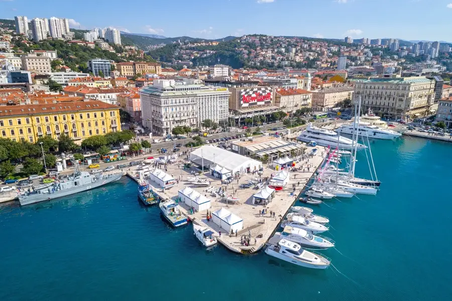
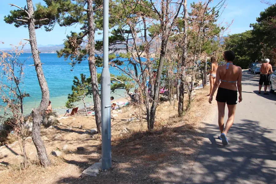
Explore nearby
Notable places around
Route planner — Car & Motorhome
Where do you start? We build the route here, with stops and country notes along the way.
© OpenStreetMap contributors · OpenRouteService
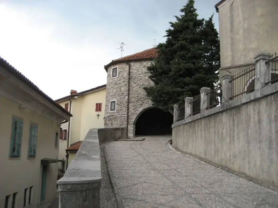
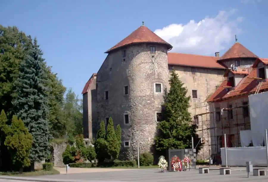
Sights in the town Hrvatski Kras (3)
Sights nearby
Frequently asked questions
What does the name Hrvatski Kras mean?
Where is this mountain area located?
Are the hiking trails well developed?
What animals can be found here?
Is the area snow-sure in winter?
Hrvatski Kras: where is it located?
Hrvatski Kras: what is there to see?
Hrvatski Kras: when is the best time to visit?
Hrvatski Kras: why is it worth visiting?

Nearby cities