Plizio Visual Lab
Source of the Kupa
Weather…
Water temperature…
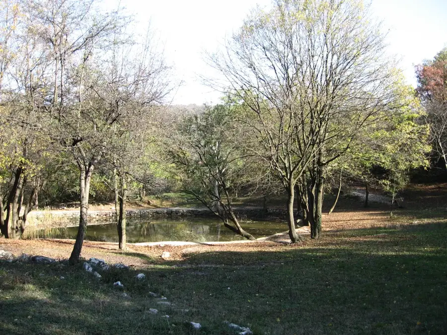
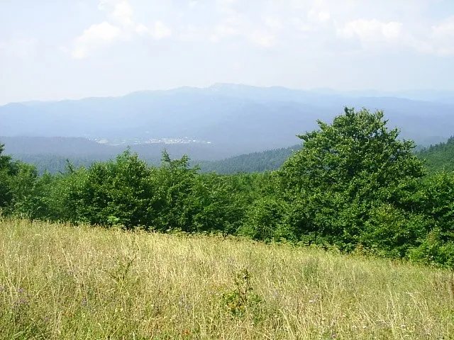
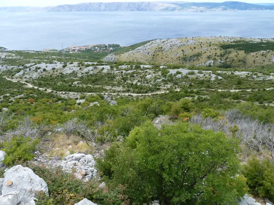
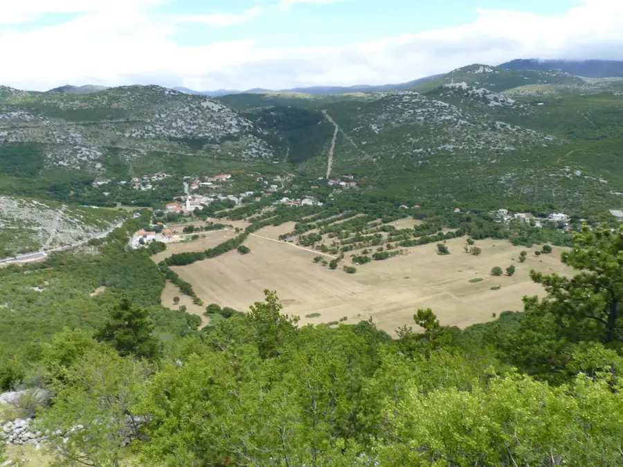
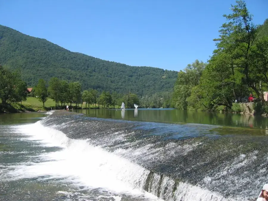
The source of the Kupa River is located within the Risnjak National Park in the Gorski Kotar mountain region and is considered one of Croatia's deepest and most impressive karst springs. The water emerges in an oval, deep-blue pond surrounded by steep limestone cliffs and dense coniferous forests. Known as 'Vrelo Kupe', the spring lies at an altitude of 313 meters above sea level. Speleological diving expeditions have explored the spring to a depth of over 150 meters, although the actual bottom has not yet been reached. The water temperature remains constant at about 7 degrees Celsius year-round, indicating the deep origin of the water from underground karst systems. The Kupa River later forms a natural border between Croatia and Slovenia over long stretches. The area around the source is characterized by exceptional botanical diversity, including rare orchid species and endemic ferns. A marked hiking trail from the village of Razloge leads visitors through pristine nature to this hydrological monument.
- Location: Croatia
- Top sights: Razloški Okrug · Razloge · Donja Krašićevica
- Nearby: Risnjak NP (Crni Lug) (7 km)
Best time to visit & climate
The most pleasant time to visit is Jun–Aug.
| Jan | Feb | Mar | Apr | May | Jun | Jul | Aug | Sep | Oct | Nov | Dec | |
|---|---|---|---|---|---|---|---|---|---|---|---|---|
| Avg °C | -1 | 0 | 4 | 9 | 13 | 17 | 19 | 19 | 14 | 10 | 5 | 0 |
| Rain mm | 81 | 96 | 83 | 85 | 105 | 88 | 71 | 89 | 131 | 122 | 139 | 109 |
📋 Practical info
Geography
Facts
- Explored depth: over 154 meters
- Water temperature: constant approx. 7 °C
- Elevation of the source: 313 meters
- Location: Risnjak National Park
- Status: Hydrological natural monument
- Nearest settlement: Razloge
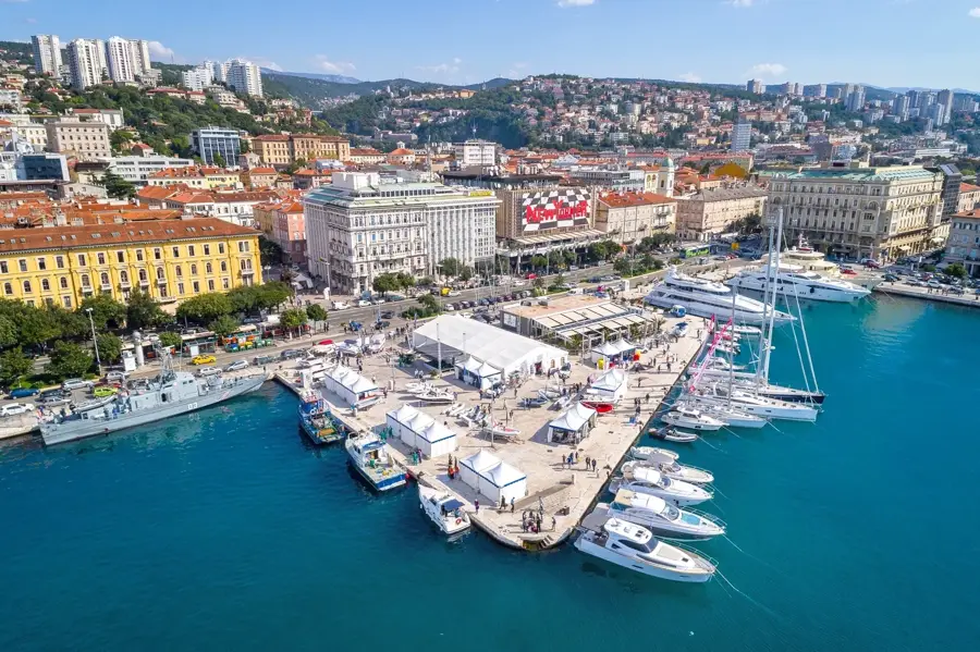
Explore nearby
Notable places around
Route planner — Car & Motorhome
Where do you start? We build the route here, with stops and country notes along the way.
© OpenStreetMap contributors · OpenRouteService
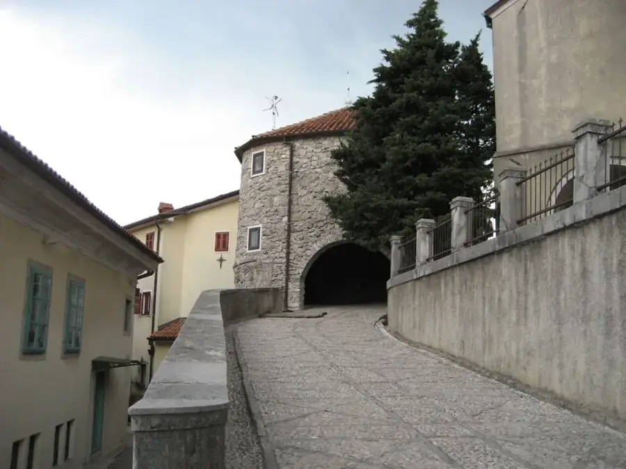
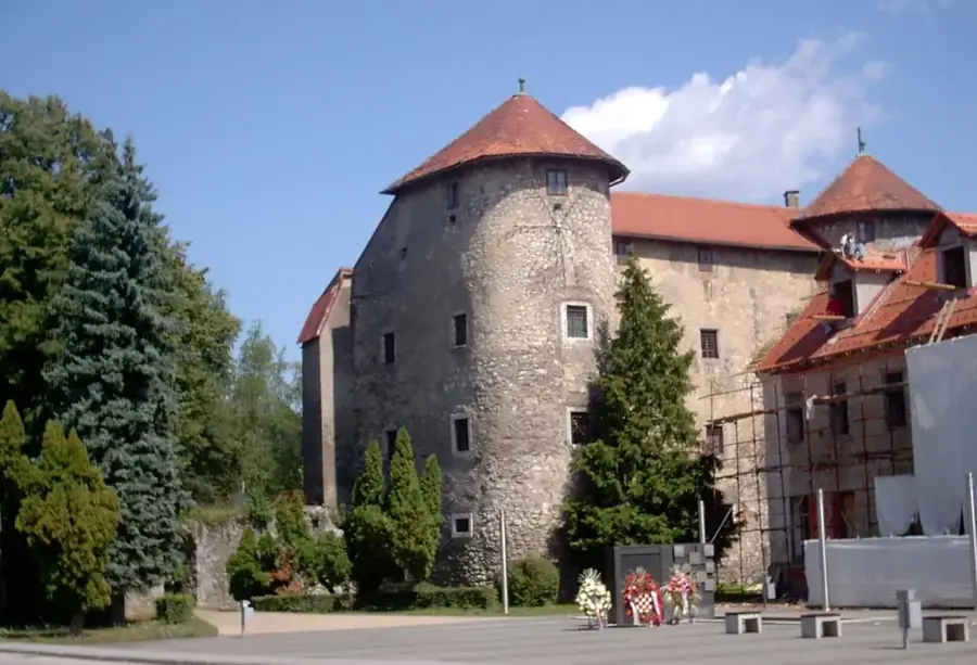
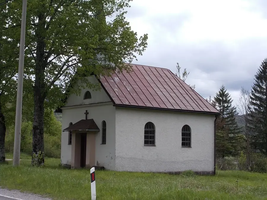
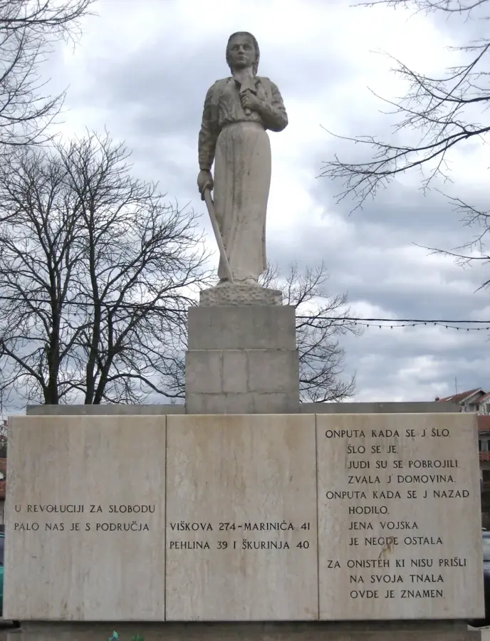
Sights in the town Source of the Kupa (3)
Sights nearby
Frequently asked questions
Where is the Kupa source located?
What is special about the source?
How long does the hike to the source take?
Is the water suitable for drinking?
Are there many butterflies?
Source of the Kupa: where is it located?
Source of the Kupa: what is there to see?
Source of the Kupa: when is the best time to visit?
Source of the Kupa: why is it worth visiting?

Nearby cities