Plizio Visual Lab
Rarotonga
Weather…
Water temperature…
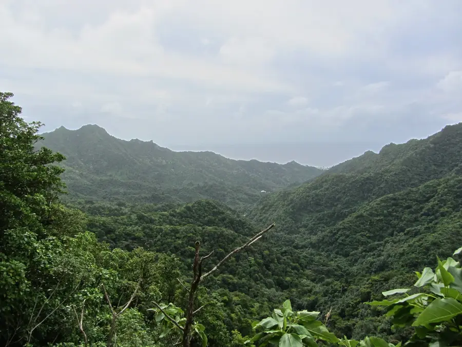
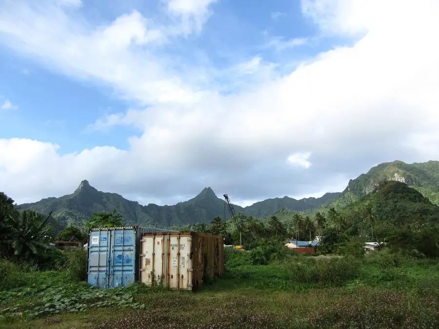
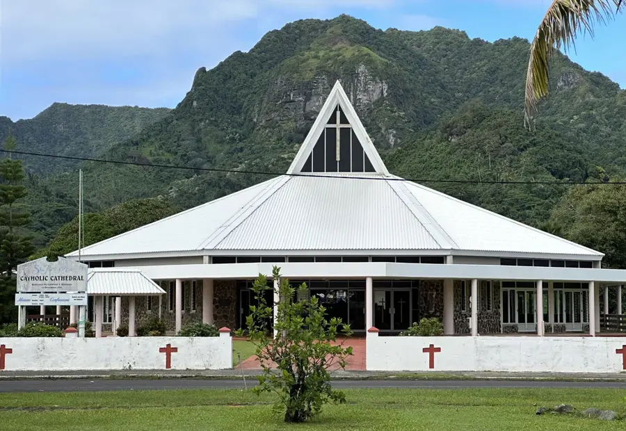
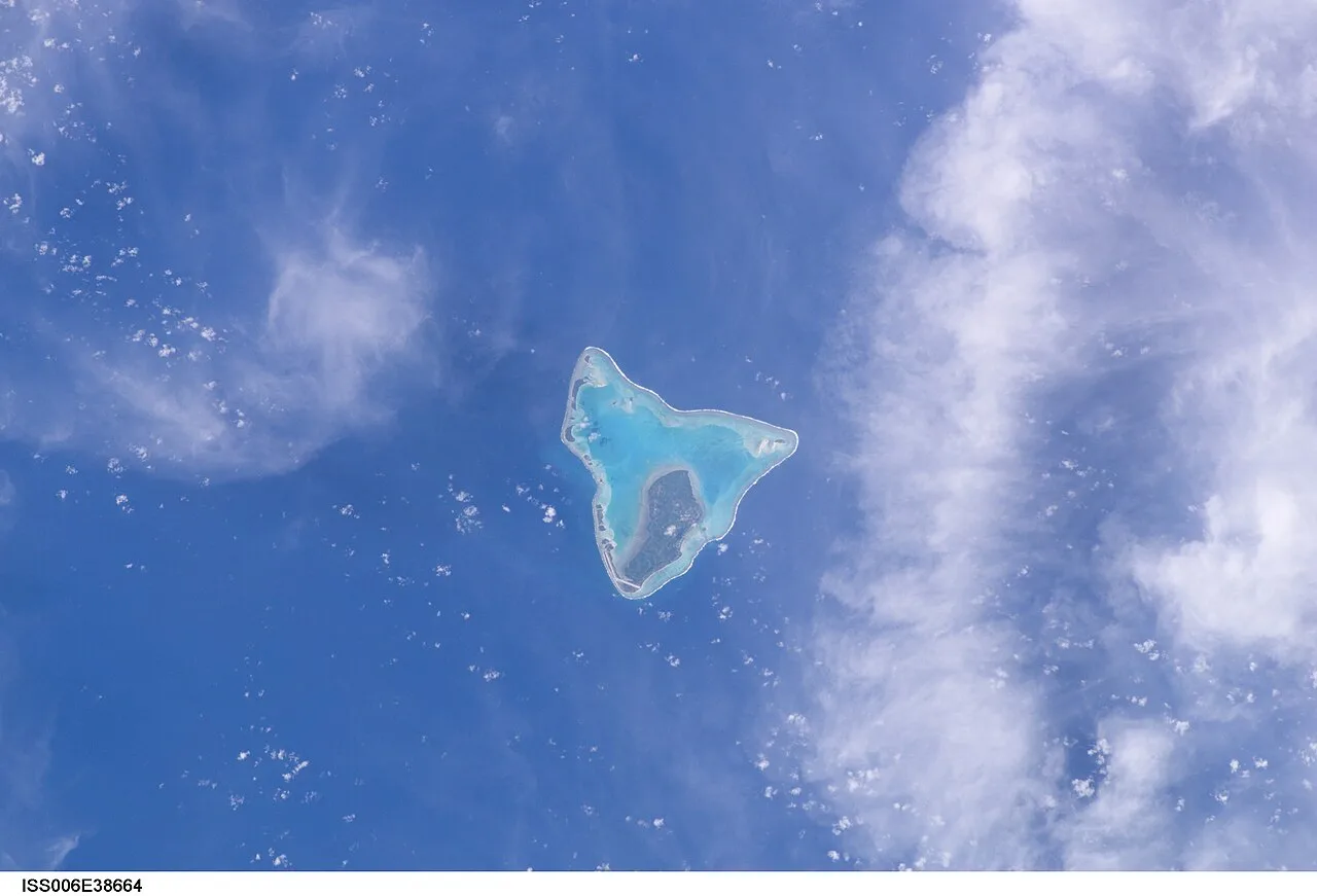
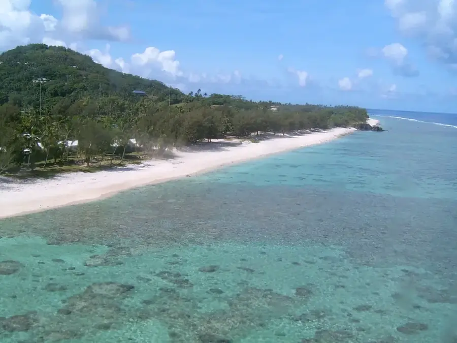
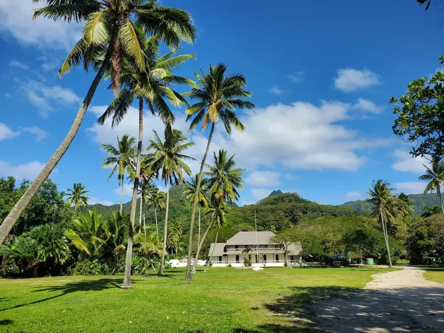
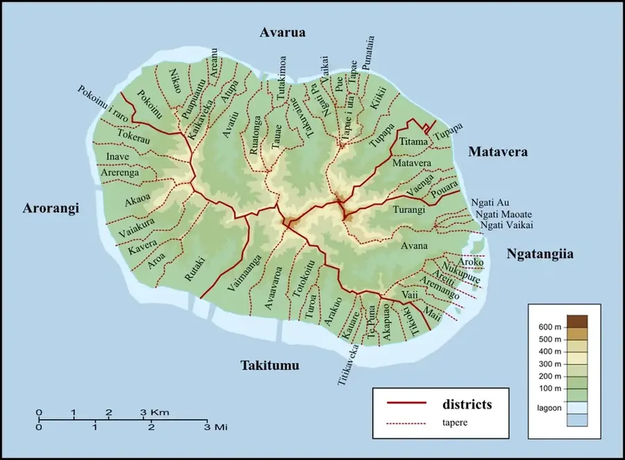
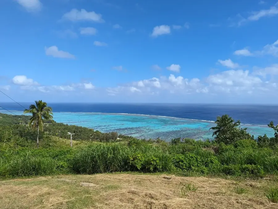
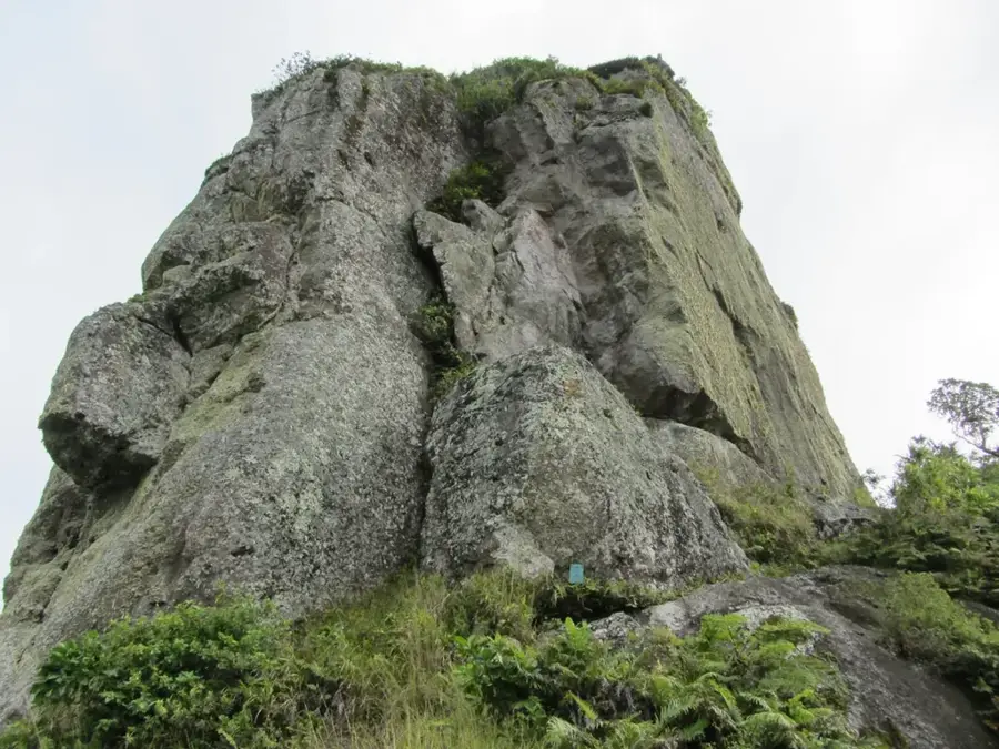
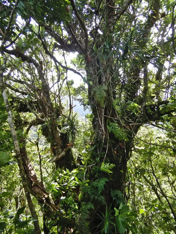
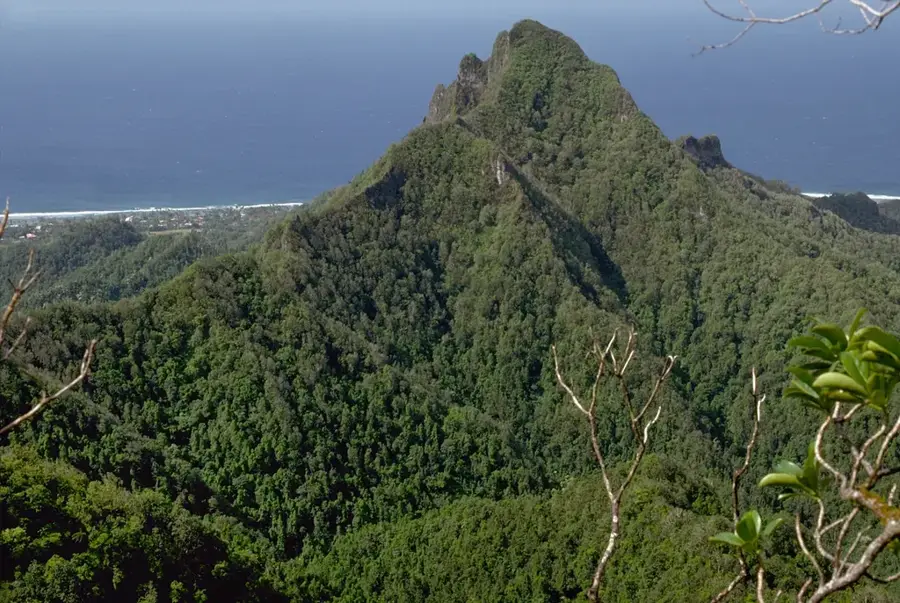
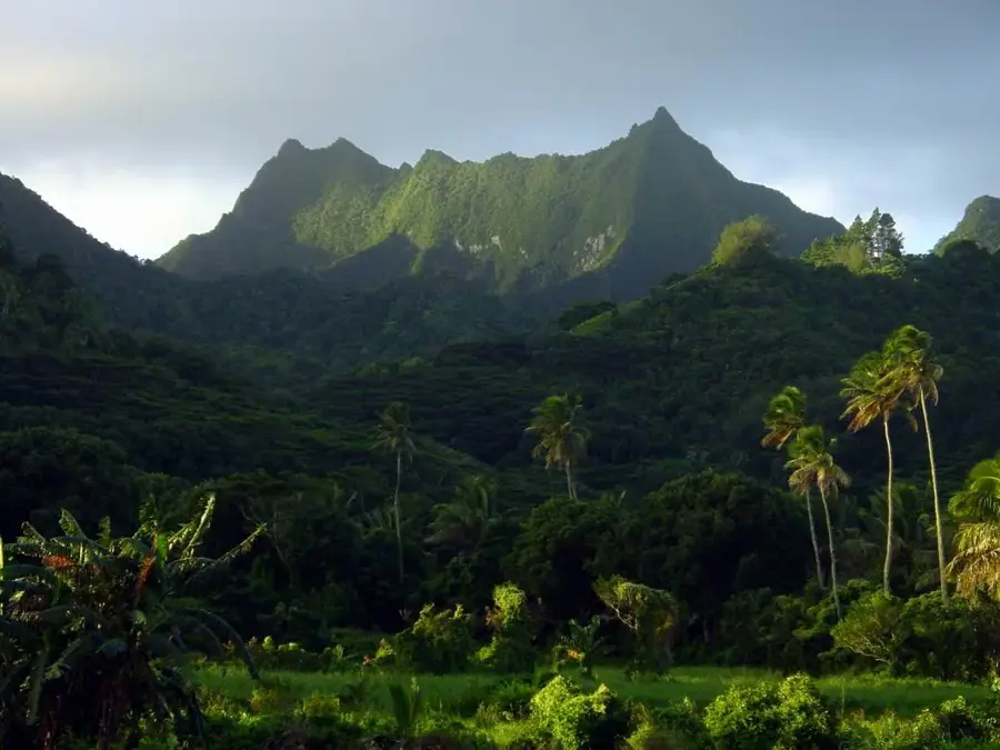
Rarotonga is the dynamic hub of the Cook Islands, serving as both the political capital and the largest island in the group. This high volcanic island features a dramatic interior composed of jagged mountain peaks, with Te Manga reaching an elevation of 653 meters. Surrounding the island is a protective coral reef that creates a shallow, turquoise lagoon, excellent for snorkeling and observing diverse marine species. The island is conveniently encircled by a 32-kilometer perimeter road called Ara Tapu, which links the coastal villages and sandy beaches. Deep within the interior, dense tropical rainforests cover the steep ridges, offering challenging hiking opportunities like the Cross-Island Track which passes the iconic rock needle known as Te Rua Manga. The main town, Avarua, located on the northern shore, is a center for Polynesian culture, where visitors can experience traditional dance performances and local craft markets. With its blend of rugged volcanic terrain, lush greenery, and crystal-clear lagoon waters, Rarotonga has an quintessential South Pacific experience rooted in Maori traditions and natural beauty.
- Location: Cook Islands
- Top sights: Maungatea · Good View of Needle · Te Rua Manga / The Needle
- Nearby: Nikao (4 km)
Best time to visit & climate
The most pleasant time to visit is Jun–Aug.
| Jan | Feb | Mar | Apr | May | Jun | Jul | Aug | Sep | Oct | Nov | Dec | |
|---|---|---|---|---|---|---|---|---|---|---|---|---|
| Avg °C | 26 | 27 | 27 | 26 | 25 | 24 | 23 | 23 | 23 | 24 | 25 | 26 |
| Rain mm | 195 | 202 | 198 | 166 | 150 | 62 | 77 | 63 | 83 | 95 | 144 | 175 |
📋 Practical info
Geography
Facts
- Area: 67 km².
- Highest point: 652 m (Te Manga).
- Population: 13,000.
- Density: 194/km².
- Average temperature: 25°C.
- Coastal road length: 31 km.
Explore nearby
Notable places around
Route planner — Car & Motorhome
Where do you start? We build the route here, with stops and country notes along the way.
© OpenStreetMap contributors · OpenRouteService
Sights in the town Rarotonga (7)
Te Kou
Mountain in New Zealand, located on Rarotonga island.
View of Needle
Viewpoint looking at the Te Rua Manga rock needle.
Takitumu Conservation Area
Protected nature area in southeast Rarotonga with hiking trails.
Sights nearby
Frequently asked questions
What is the best way to get around Rarotonga?
Are there dangerous animals on Rarotonga?
What is the most famous hike?
What currency is used?
Where are most restaurants located?
Rarotonga: where is it located?
Rarotonga: what is there to see?
Rarotonga: when is the best time to visit?
Rarotonga: why is it worth visiting?

Nearby cities

History & landmarks
Nature


More places