Plizio Visual Lab
Orovaru
Weather…
Water temperature…
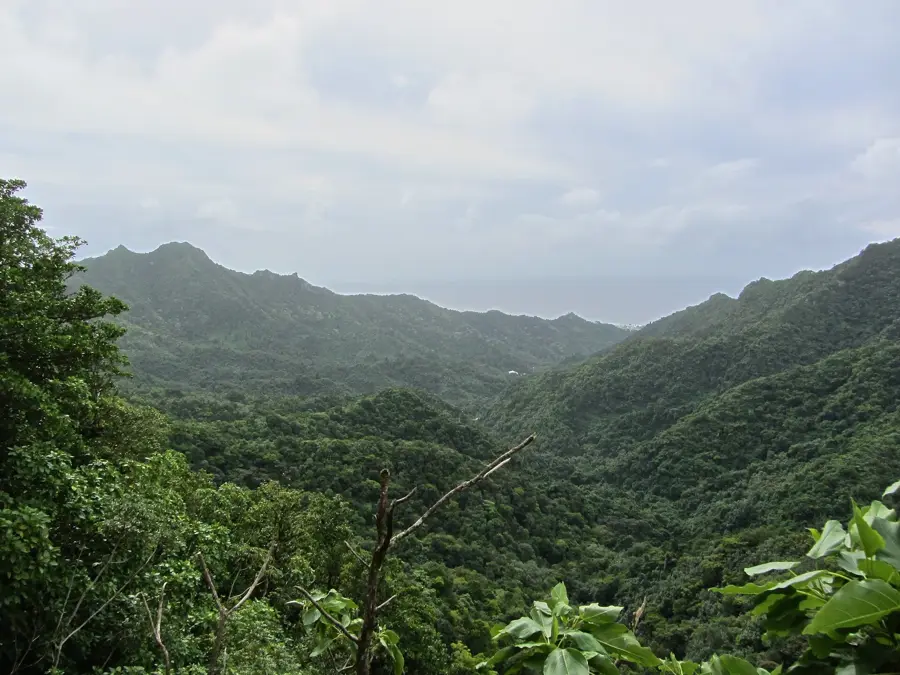
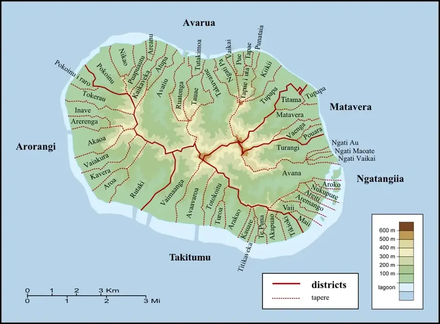
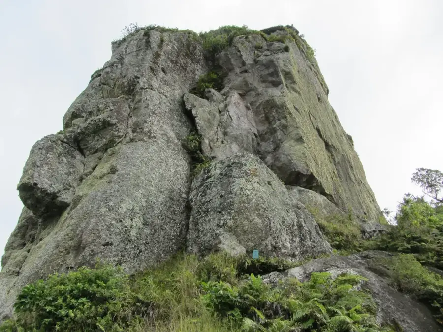
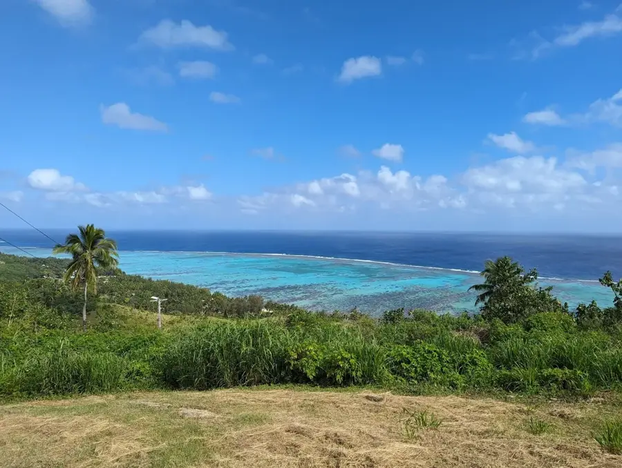
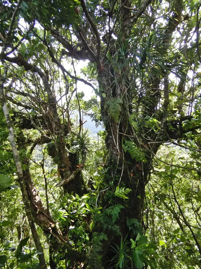
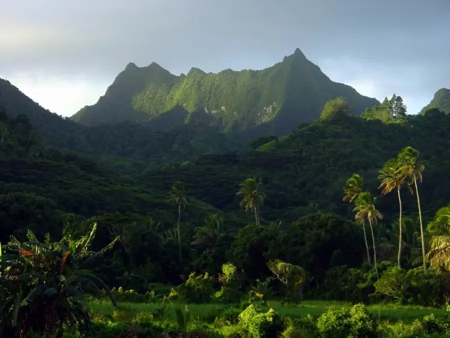
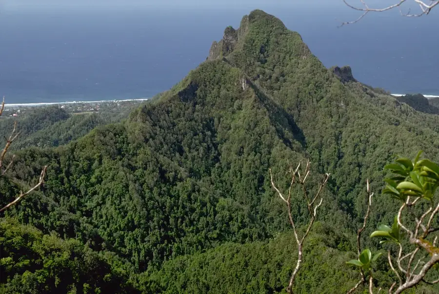
Orovaru is a striking mountain ridge located in the western part of Rarotonga, attracting hikers with its sheer rock faces and spectacular views. As part of the volcanic mountain range that forms the island's interior, the ridge rises to approximately 450 meters above sea level, providing one of the finest vantage points over the Arorangi district and the expansive western coastline. The trek up leads through dense tropical vegetation and requires some sure-footedness, as the trails navigate volcanic rocks and intricate root systems. Upon reaching the top, visitors are rewarded with a panoramic view stretching from the deep blue ocean to the lush green valleys in the heart of the island. Orovaru is especially popular in the late afternoon, as it provides a prime spot to witness the Cook Islands' legendary sunsets over the surrounding reef. It is a place of serenity and natural grandeur, vividly reflecting the dramatic geological history of this central Pacific island.
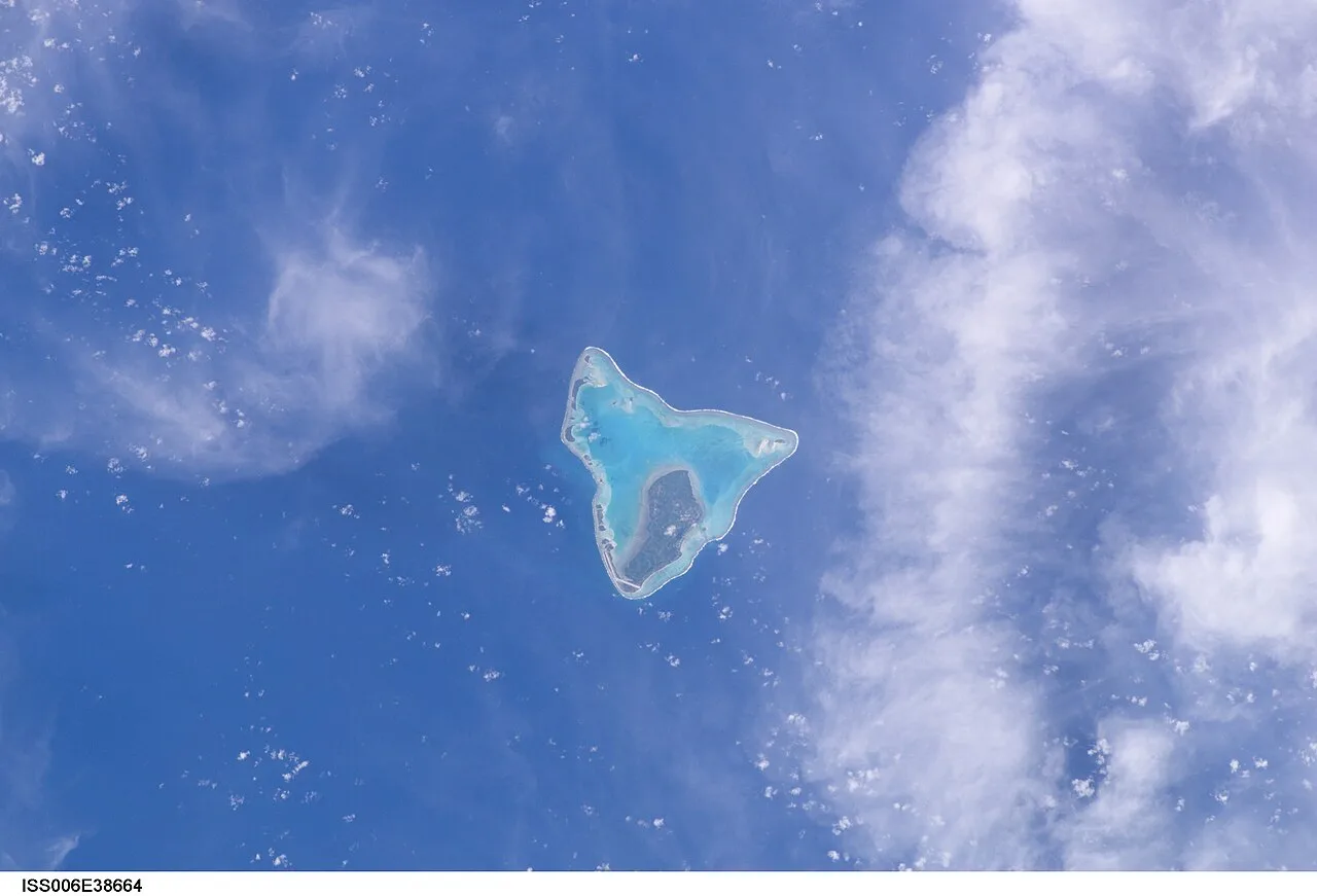
- Location: Cook Islands
- Top sights: Maungatongaiti · Raemaru · Maungaroa
- Nearby: Nikao (4 km)
Best time to visit & climate
The most pleasant time to visit is Jun–Aug.
| Jan | Feb | Mar | Apr | May | Jun | Jul | Aug | Sep | Oct | Nov | Dec | |
|---|---|---|---|---|---|---|---|---|---|---|---|---|
| Avg °C | 26 | 27 | 27 | 26 | 25 | 24 | 23 | 23 | 23 | 24 | 25 | 26 |
| Rain mm | 195 | 202 | 198 | 166 | 150 | 62 | 77 | 63 | 83 | 95 | 144 | 175 |
📋 Practical info
Geography
Facts
- Height: 346 m
- Location: southern Rarotonga
- Rock type: basalt
- Vegetation: mixed forest
- Hiking time: 2-3 hours
- Archaeological sites: settlement remains
Explore nearby
Notable places around
Route planner — Car & Motorhome
Where do you start? We build the route here, with stops and country notes along the way.
© OpenStreetMap contributors · OpenRouteService
Sights in the town Orovaru (10)
Maungaroa
Maungaroa is a mountain in the Cook Islands and New Zealand.
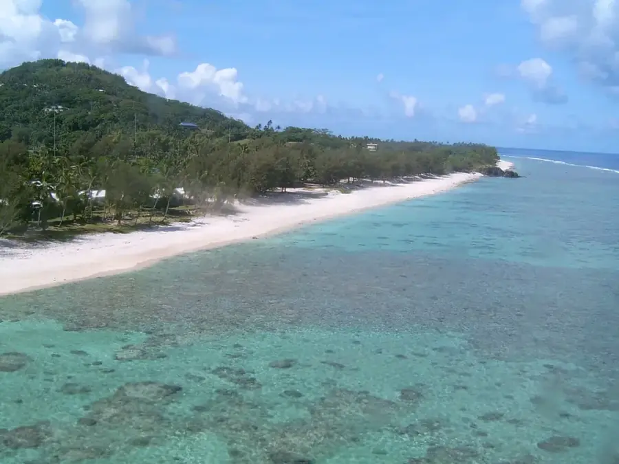
Aroa beach
Sandy beach on the west coast of Rarotonga, popular for swimming.
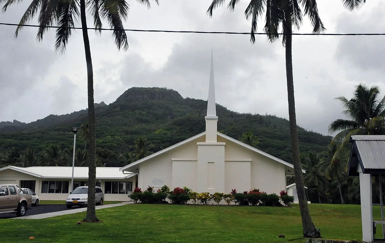
The Church of Jesus Christ of Latter-day Saints
Church of Jesus Christ of Latter-day Saints in Aroa, Rarotonga.
Discover Marine & Wildlife Eco Center🏛 museum
Museum and environmental education center in Aroa, showcasing marine life.
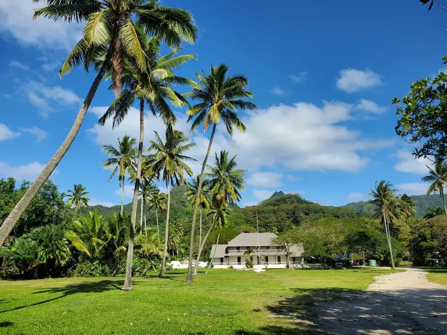
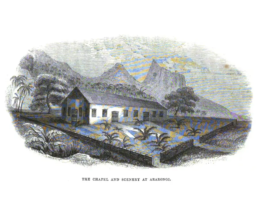
Arorangi Mission
Christian mission station in Arorangi, Rarotonga.
Castaway Resort
Beach resort in Aroa, offering accommodation and beach access.
Sights nearby
Frequently asked questions
What is the Orovaru massif?
Is the area accessible to hikers?
Are there waterfalls there?
What animals live there?
What is the weather like in the mountains?
Orovaru: where is it located?
Orovaru: what is there to see?
Orovaru: when is the best time to visit?
Orovaru: why is it worth visiting?

Nearby cities

History & landmarks
Nature


More places