Plizio Visual Lab
Te Manga Cloud Forest

Weather…
Water temperature…
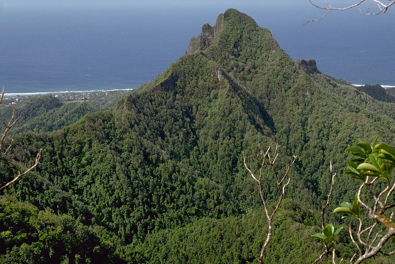
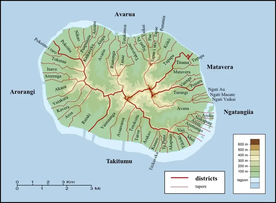
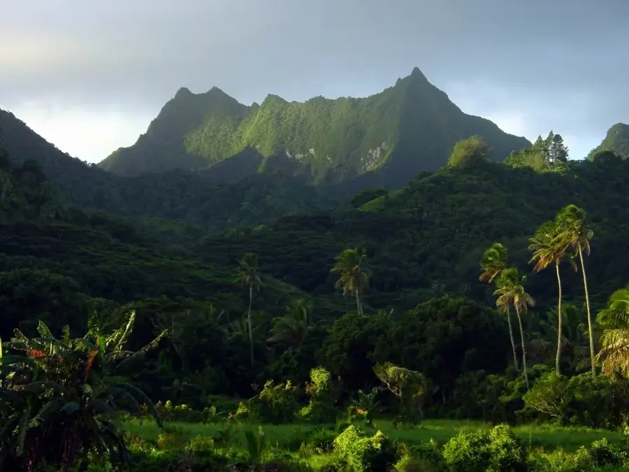
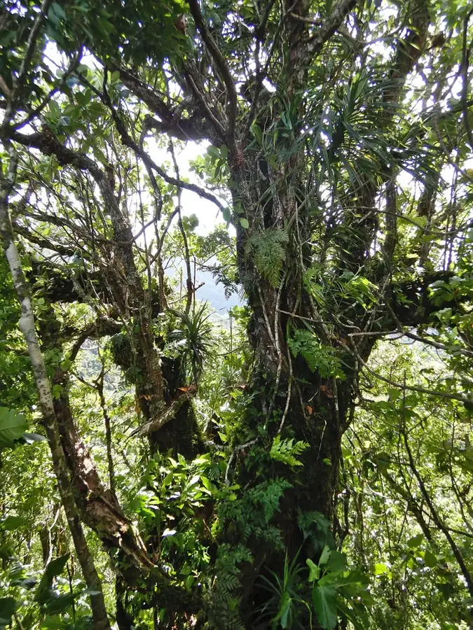
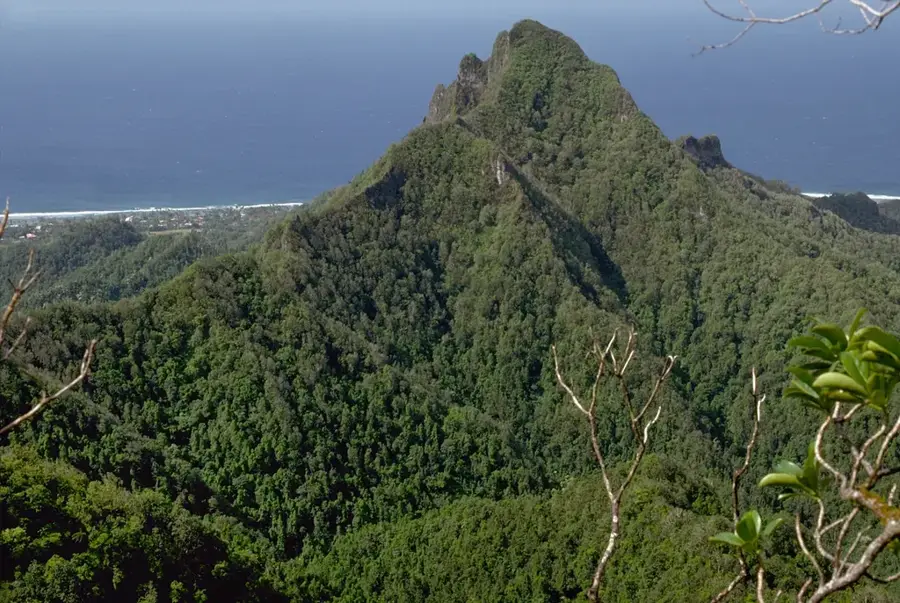
The Te Manga Cloud Forest thrives on the steep ridges and summit of Mount Te Manga, the highest peak in the Cook Islands at 652 meters. This rare high-altitude ecosystem is defined by near-constant cloud cover and humidity, which supports a dense growth of mosses, liverworts, and ferns. It is a biological hotspot, home to several endemic plant species found nowhere else on Earth, including rare tropical orchids. The stunted, moss-draped trees act as a critical water catchment system for Rarotonga, intercepting moisture directly from the clouds to feed the island's freshwater streams. Hiking to the summit is a strenuous undertaking, often requiring the use of fixed ropes on slippery, vertical sections of the trail. Those who reach the top are treated to spectacular views of the surrounding reef and the Pacific Ocean, though the peak is frequently shrouded in mist. Conservation efforts focus on protecting this delicate environment from invasive rats and weeds, ensuring the survival of unique flora and native bird species like the Rarotonga Monarch.
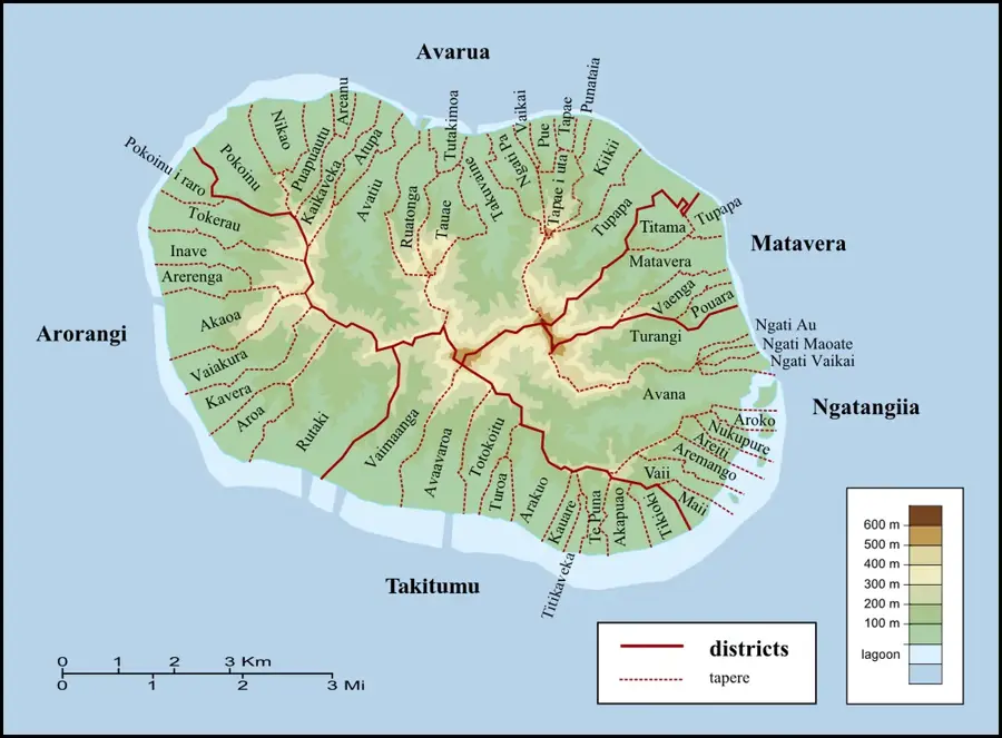
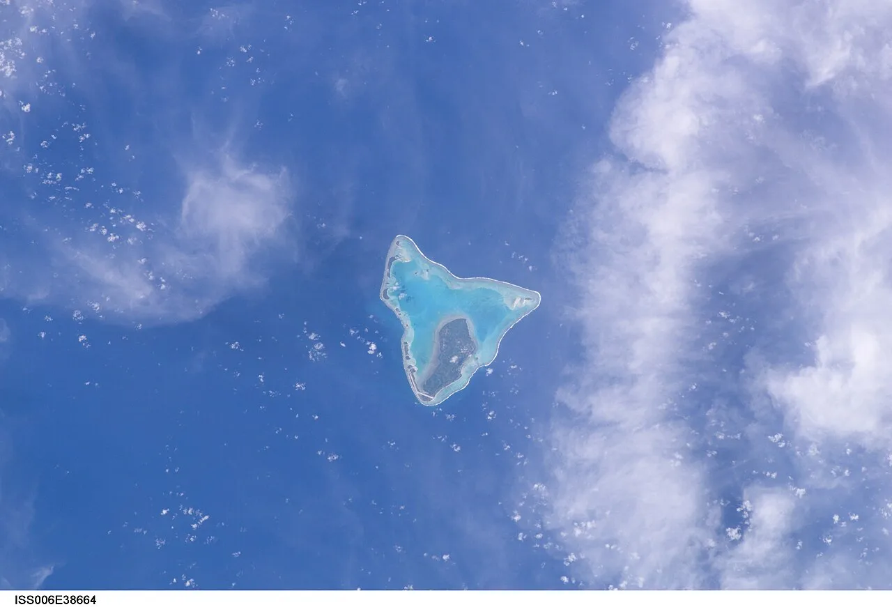
- Location: Cook Islands
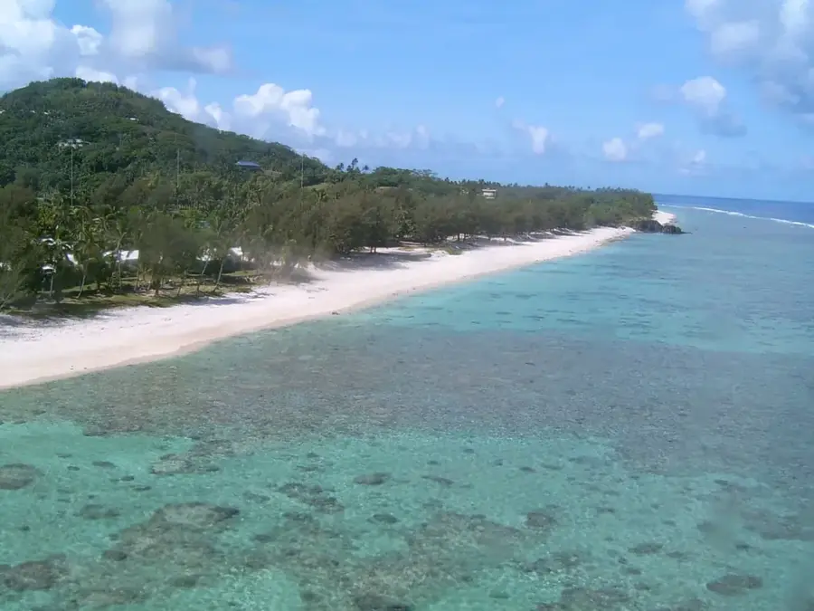
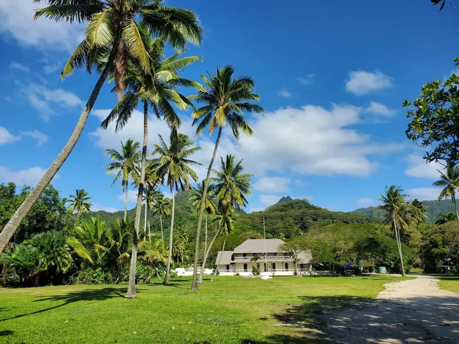
- Top sights: Te Manga · Clear View · Takitumu Conservation Area
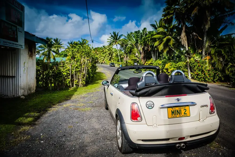
- Nearby: Avarua (4 km)
Best time to visit & climate
The most pleasant time to visit is Jun–Aug.
| Jan | Feb | Mar | Apr | May | Jun | Jul | Aug | Sep | Oct | Nov | Dec | |
|---|---|---|---|---|---|---|---|---|---|---|---|---|
| Avg °C | 26 | 27 | 27 | 26 | 25 | 24 | 23 | 23 | 23 | 24 | 25 | 26 |
| Rain mm | 195 | 202 | 198 | 166 | 150 | 62 | 77 | 63 | 83 | 95 | 144 | 175 |
📋 Practical info
Geography
Facts
- Elevation: 400–652 m.
- Highest point in Cook Islands: 652 m.
- Annual rainfall: 4,000 mm.
- Humidity: 90%.
- Temperature range: 15–20°C.
- Endemic bird: Rarotonga flycatcher.
Explore nearby
Notable places around
Route planner — Car & Motorhome
Where do you start? We build the route here, with stops and country notes along the way.
© OpenStreetMap contributors · OpenRouteService
Sights in the town Te Manga Cloud Forest (7)
Te Kou
Mountain in New Zealand, located on Rarotonga island.
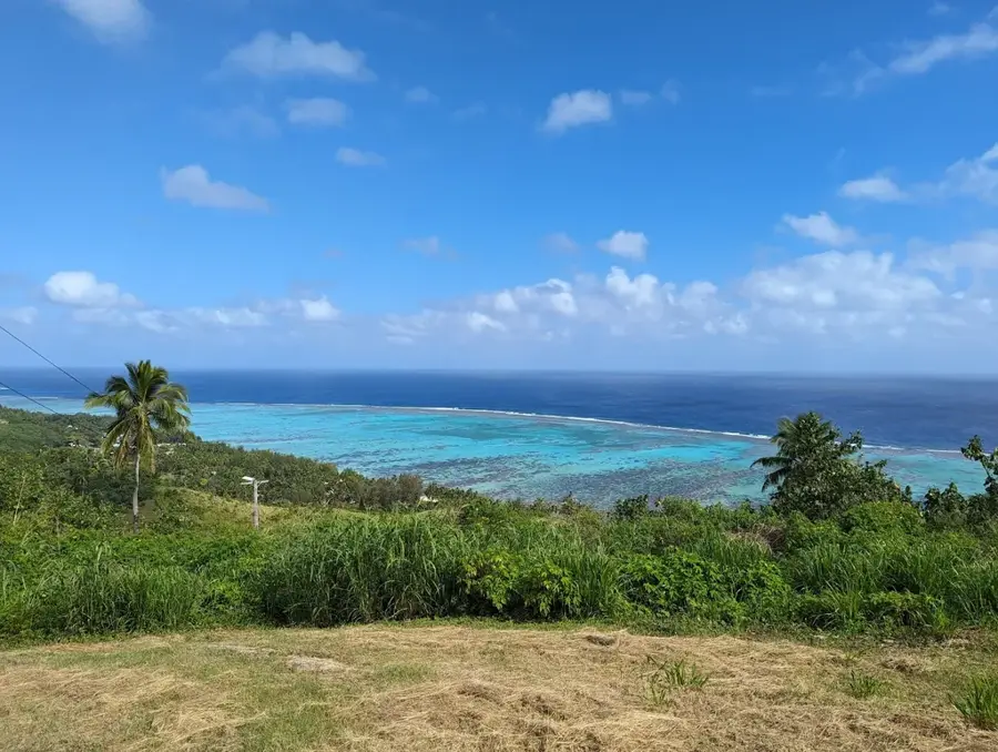
On Ridge 350m
Viewpoint on a mountain ridge at 350 meters elevation.
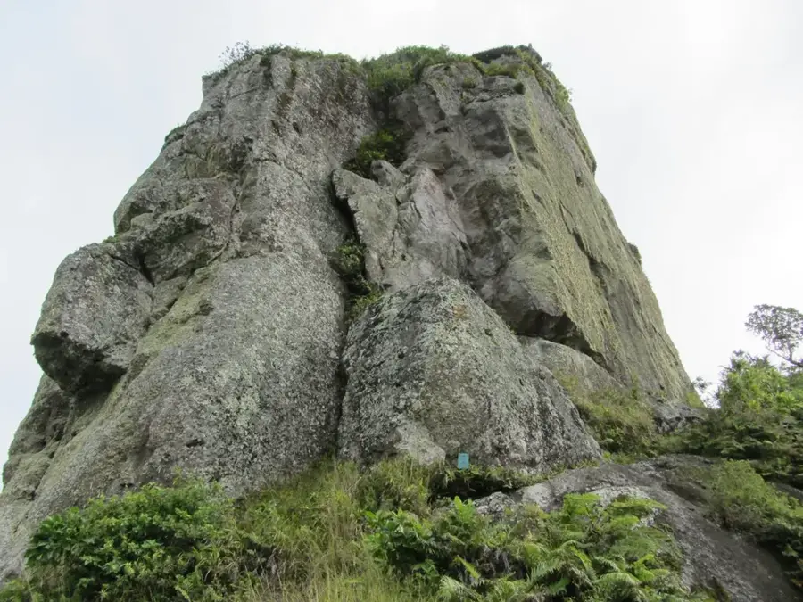
Good View of Needle
Viewpoint with a good view of the Te Rua Manga rock needle.
Sights nearby
Frequently asked questions
Where is the Te Manga cloud forest located?
What plants are typical for this forest?
Is the path to the cloud forest marked?
What is the weather like up there?
Can you camp there?
Te Manga Cloud Forest: where is it located?
Te Manga Cloud Forest: what is there to see?
Te Manga Cloud Forest: when is the best time to visit?
Te Manga Cloud Forest: why is it worth visiting?

Nearby cities


History & landmarks

Nature


More places