Plizio Visual Lab
Maungatea
Weather…
Water temperature…
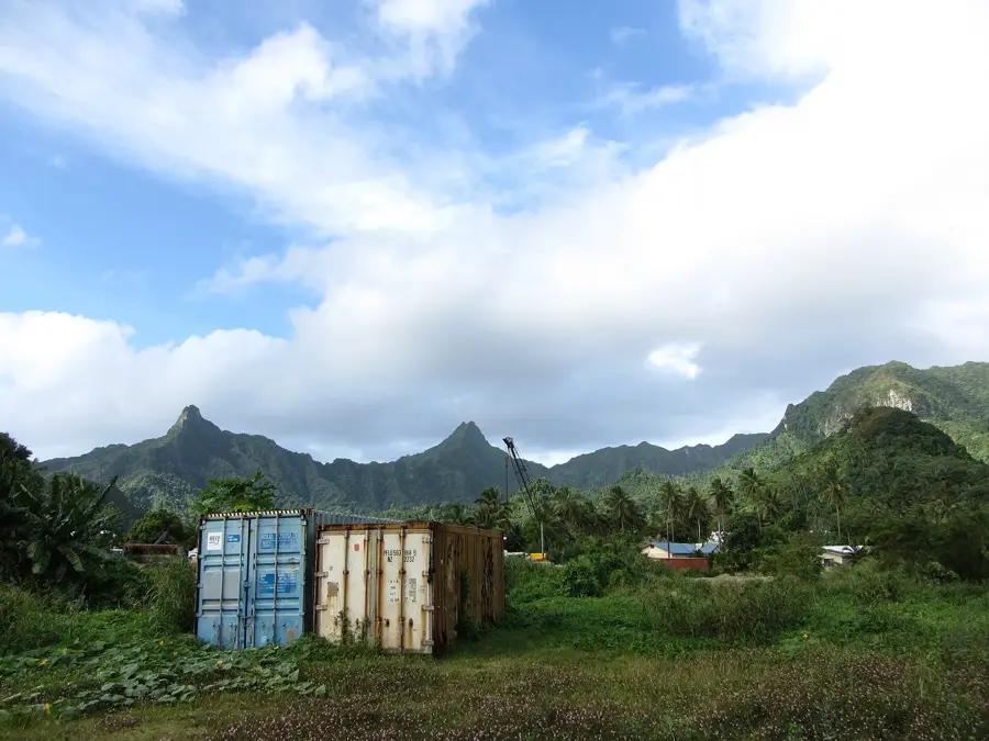
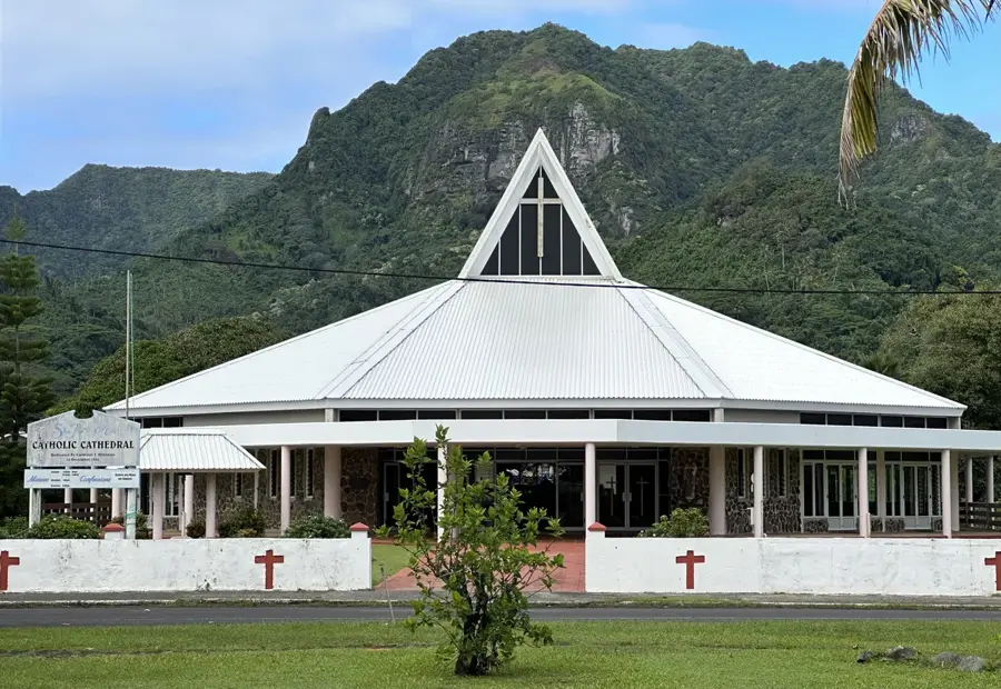
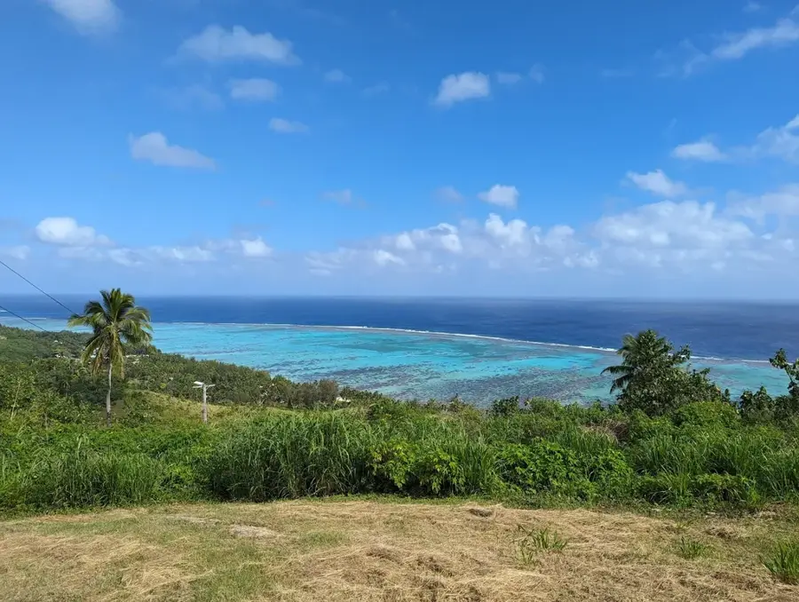
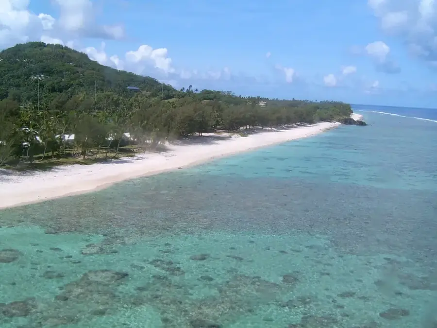
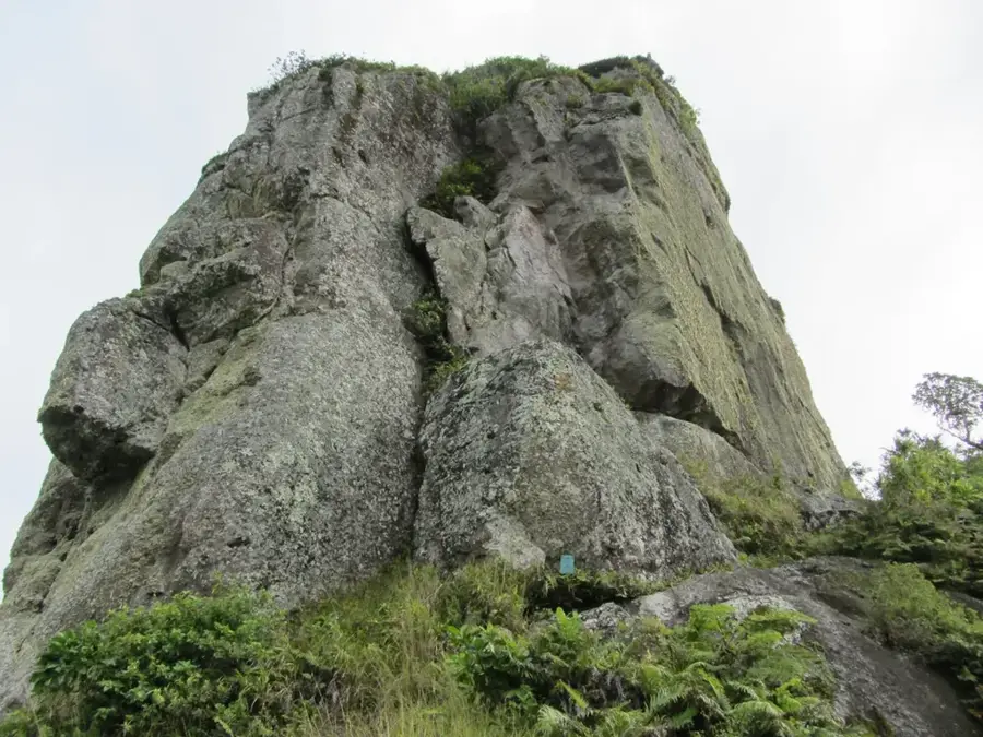
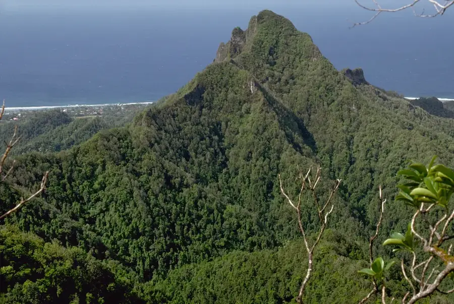
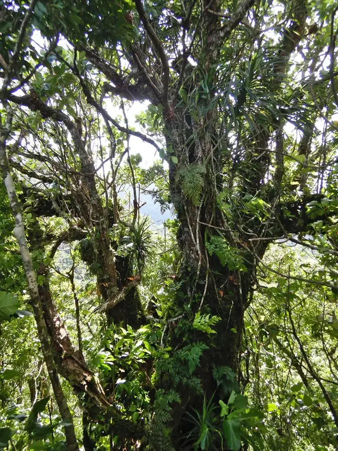
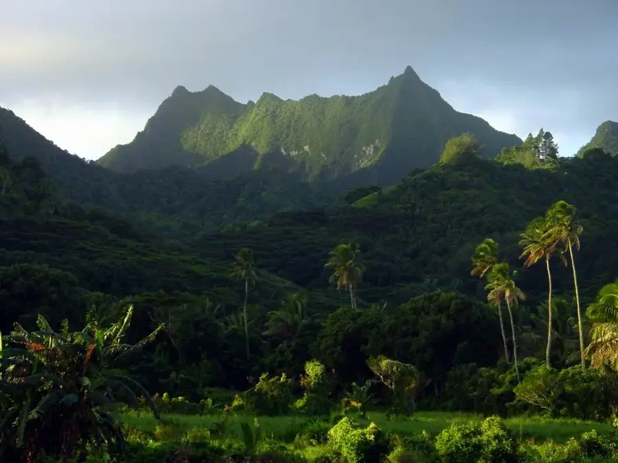
Maungatea is a commanding peak on Rarotonga, rising to 523 meters and serving as a striking backdrop to the Avatiu Valley. As part of the island's ancient volcanic interior, the mountain is defined by its razor-sharp ridges and dense, primary rainforest cover. While the popular Cross-Island Track skirts its eastern flanks, Maungatea itself has a more rugged and less-trodden experience for serious hikers seeking solitude and a physical challenge. The slopes are a sanctuary for endemic flora, including rare ferns and tropical hardwoods, providing a vital habitat for native bird species such as the Rarotonga starling. Reaching the upper ridges rewards adventurers with sweeping views of the island’s northern coastline, the bustling village of Nikao, and the vast expanse of the surrounding reef. Maungatea remains a powerful landmark in the island's landscape, embodying the raw natural beauty and geological history of the Cook Islands' high volcanic islands.
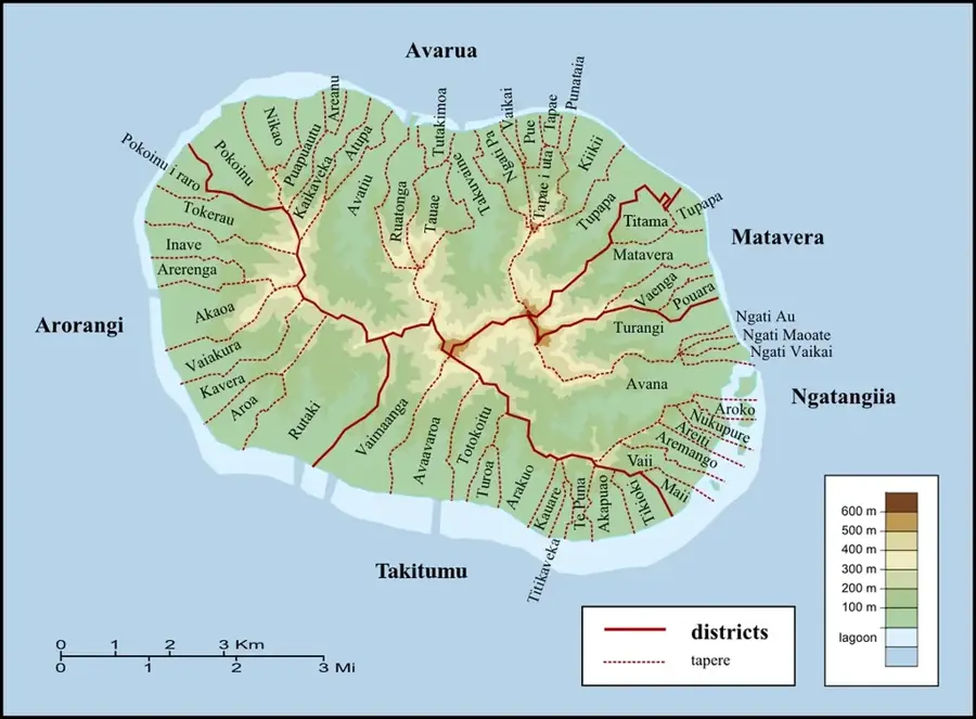
- Location: Cook Islands
- Top sights: Maungatea · Good View of Needle · Te Rua Manga / The Needle
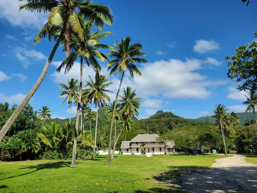
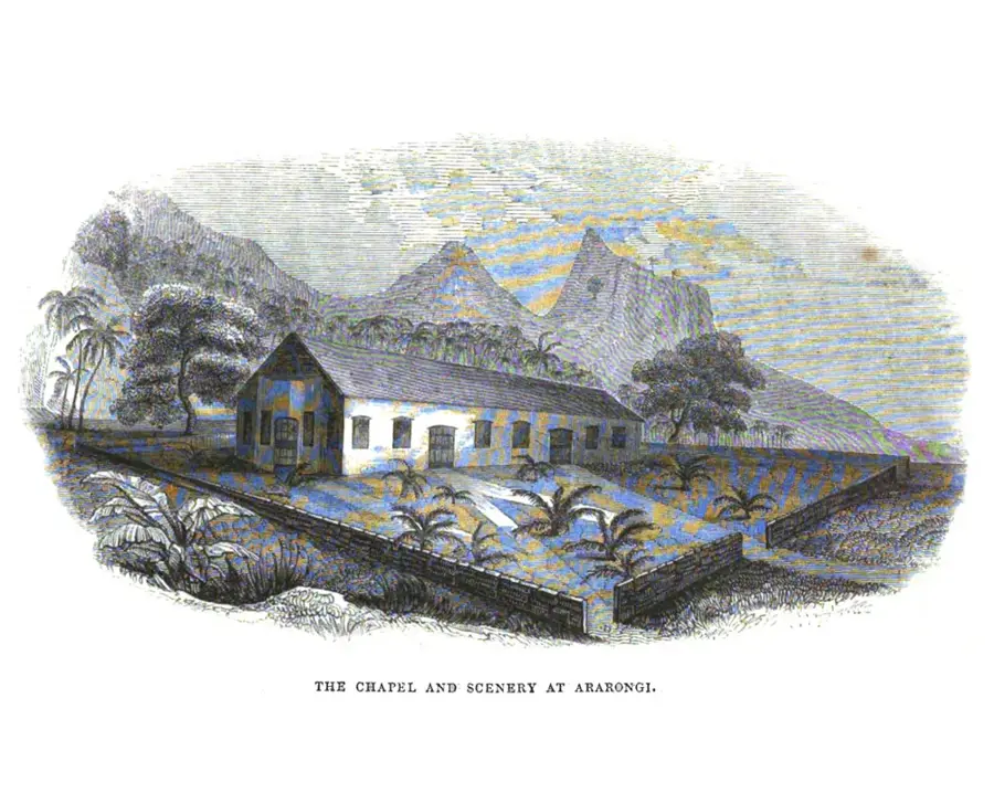
- Nearby: Arorangi (5 km)
Best time to visit & climate
The most pleasant time to visit is Jun–Aug.
| Jan | Feb | Mar | Apr | May | Jun | Jul | Aug | Sep | Oct | Nov | Dec | |
|---|---|---|---|---|---|---|---|---|---|---|---|---|
| Avg °C | 26 | 27 | 27 | 26 | 25 | 24 | 23 | 23 | 23 | 24 | 25 | 26 |
| Rain mm | 195 | 202 | 198 | 166 | 150 | 62 | 77 | 63 | 83 | 95 | 144 | 175 |
📋 Practical info
Geography
Facts
- Height: 514 m
- Location: western mountain range
- Rock type: volcanic
- Rainfall: 2500 mm/year
- Difficulty: hard
- Name meaning: white mountain
Explore nearby
Notable places around
Route planner — Car & Motorhome
Where do you start? We build the route here, with stops and country notes along the way.
© OpenStreetMap contributors · OpenRouteService
Sights in the town Maungatea (10)
Te Kou
Te Kou is a mountain in New Zealand, part of the Rarotonga mountain range.
On Ridge 350m
Viewpoint on a mountain ridge at approximately 350 meters elevation.
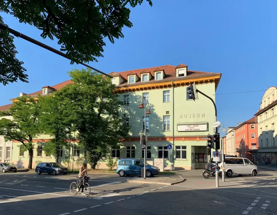
Cook Islands Library and Museum🏛 museum
Library and museum in Avarua, showcasing the history of the Cook Islands.
Taputapuātea
Ruins of a traditional marae site on Rarotonga.
Avarua Cook Islands Christian Church
Christian church in Avarua, a white building with a bell tower.
The Little Red Gallery
Small art gallery in Avarua, exhibiting local works.
Sights nearby
Frequently asked questions
Where does the Maungatea hike start?
Is the trail well-marked?
How strenuous is the climb?
Is there shade on the way?
What is essential to wear?
Maungatea: where is it located?
Maungatea: what is there to see?
Maungatea: when is the best time to visit?
Maungatea: why is it worth visiting?

Nearby cities

History & landmarks
Nature


More places