Plizio Visual Lab
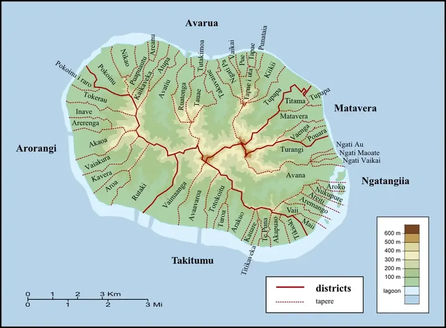
Te Kou
Weather…
Water temperature…
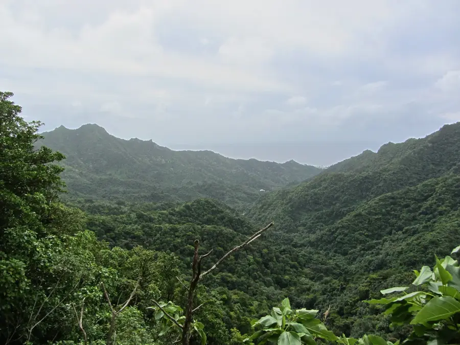
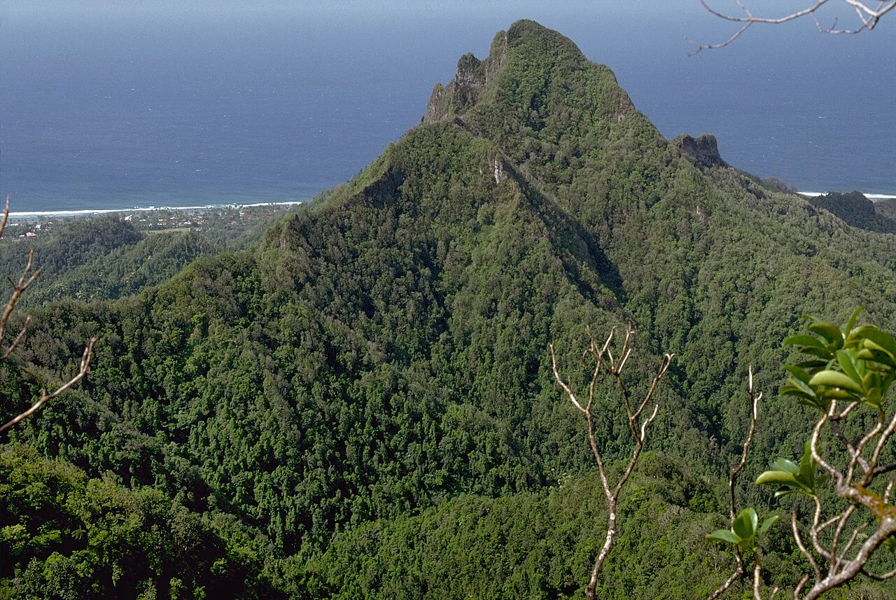
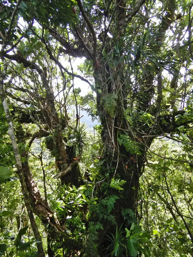
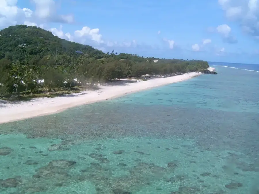
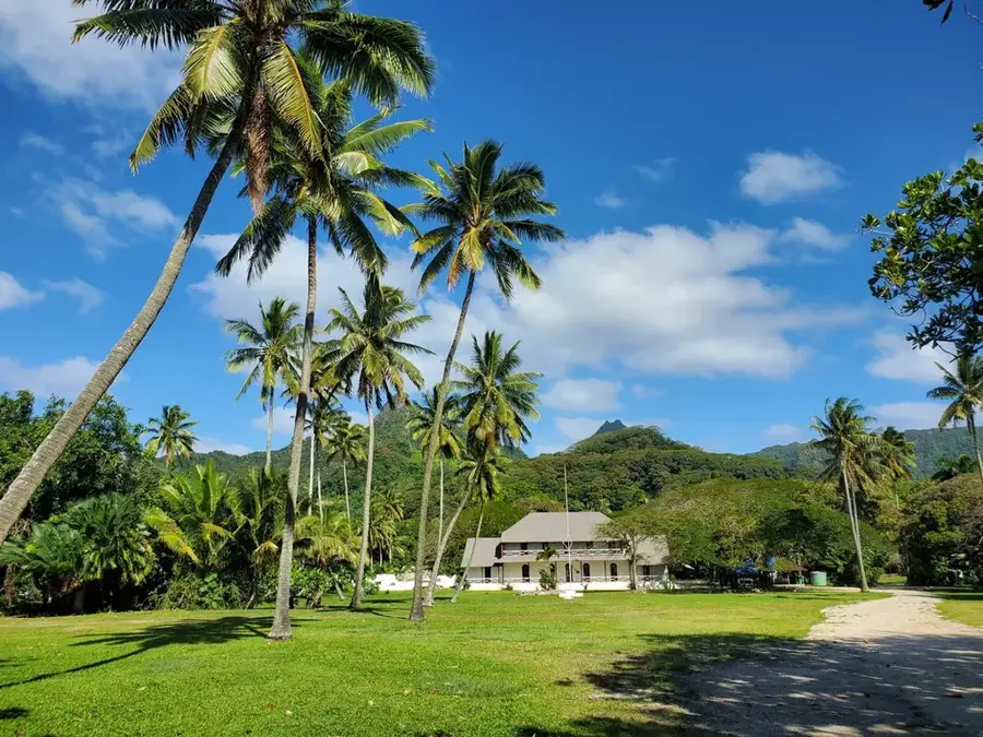
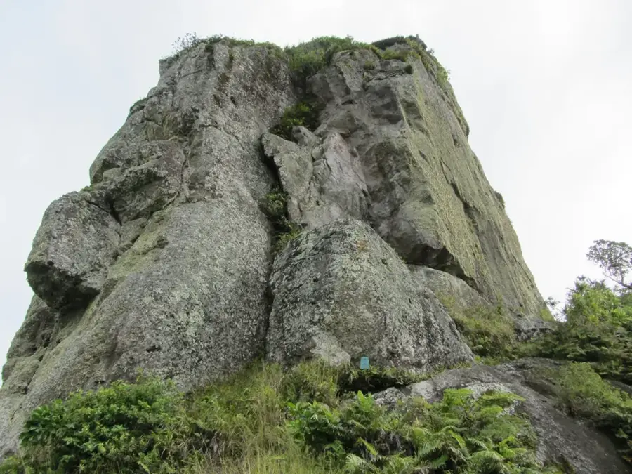
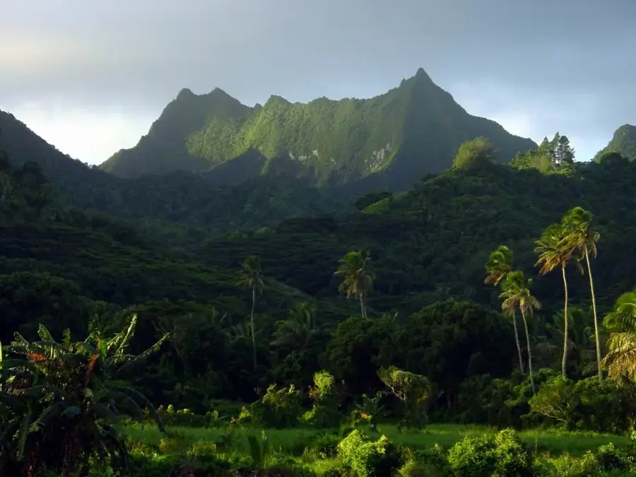
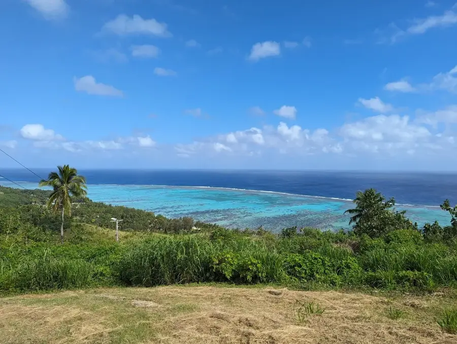
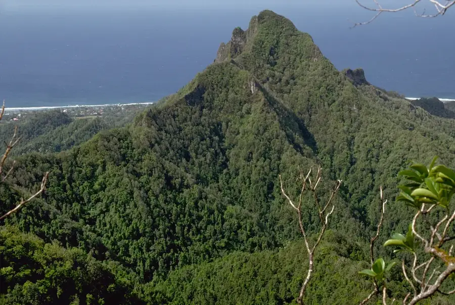
Te Kou is the second highest peak on Rarotonga, standing at 588 meters and offering some of the most unique ecological features in the Cook Islands. Unlike the jagged, needle-like peaks that characterize much of the island's interior, Te Kou is distinguished by its remarkably broad and flat summit plateau, which is a remnant of an ancient volcanic caldera. This high-altitude plateau sustains a rare cloud forest ecosystem, where persistent mist and rainfall support a diverse array of endemic plants, including delicate orchids and ancient tree ferns found nowhere else. Geographically, the mountain is a critical component of Rarotonga’s water cycle, acting as a massive natural catchment area that replenishes the island's freshwater streams. The hike to the summit is widely regarded as one of the most challenging on Rarotonga, involving steep climbs through dense tropical vegetation and occasional rope-assisted sections. However, those who reach the top are rewarded with profound silence and unparalleled views across the verdant valleys to the surrounding coral reef. It remains a sanctuary of biodiversity and a testament to the island's dramatic volcanic origins.
- Location: Cook Islands
- Top sights: Te Kou · On Ridge 350m · Takitumu Conservation Area
- Nearby: Avarua (4 km)
Best time to visit & climate
The most pleasant time to visit is Jun–Aug.
| Jan | Feb | Mar | Apr | May | Jun | Jul | Aug | Sep | Oct | Nov | Dec | |
|---|---|---|---|---|---|---|---|---|---|---|---|---|
| Avg °C | 26 | 27 | 27 | 26 | 25 | 24 | 23 | 23 | 23 | 24 | 25 | 26 |
| Rain mm | 195 | 202 | 198 | 166 | 150 | 62 | 77 | 63 | 83 | 95 | 144 | 175 |
📋 Practical info
Geography
Facts
- Height: 588 m (highest mountain on Rarotonga)
- Location: central massif
- Rock type: basalt
- Vegetation: rainforest
- Ascent time: 6-8 hours
- Difficulty: hard
Explore nearby
Notable places around
Route planner — Car & Motorhome
Where do you start? We build the route here, with stops and country notes along the way.
© OpenStreetMap contributors · OpenRouteService
Sights in the town Te Kou (7)
Te Manga
Mountain, the highest peak on Rarotonga at 653 meters.
Clear View
Viewpoint with an unobstructed view of the Rarotonga area.
Te Rua Manga / The Needle
Sharp volcanic peak on Rarotonga, known as The Needle.
Sights nearby
Frequently asked questions
What is on the summit of Te Kou?
Is the trail public?
How high is the mountain?
Are there rare plants on the mountain?
Do I need permission to hike?
Te Kou: where is it located?
Te Kou: what is there to see?
Te Kou: when is the best time to visit?
Te Kou: why is it worth visiting?

Nearby cities

History & landmarks
Nature


More places