Plizio Visual Lab
Te Manga
Weather…
Water temperature…
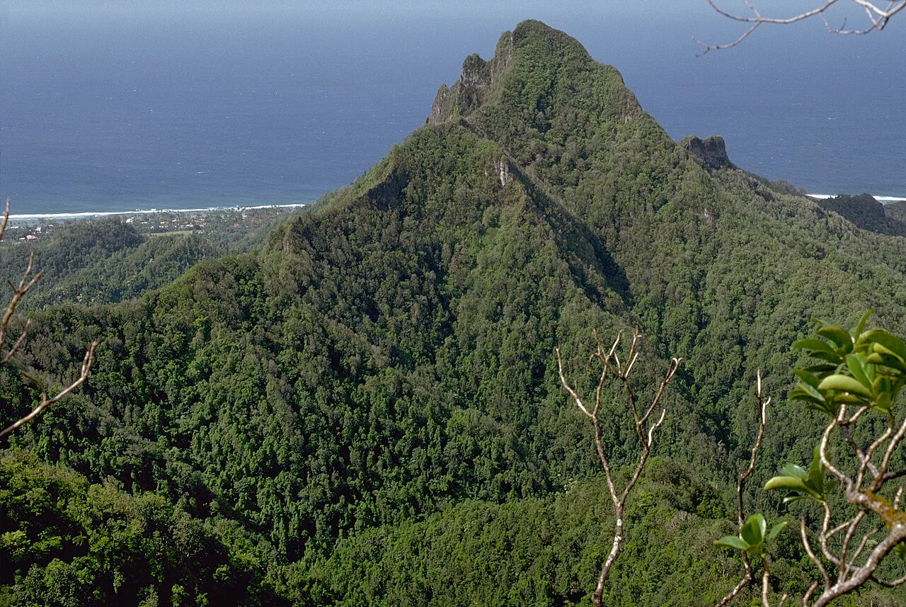
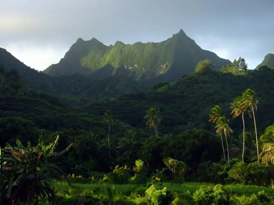
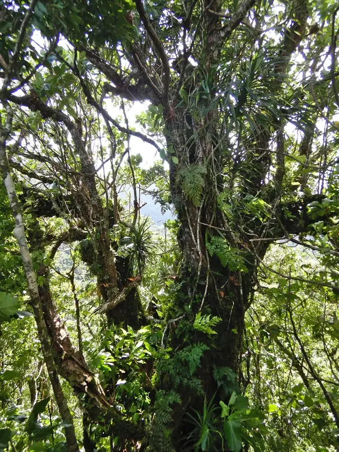
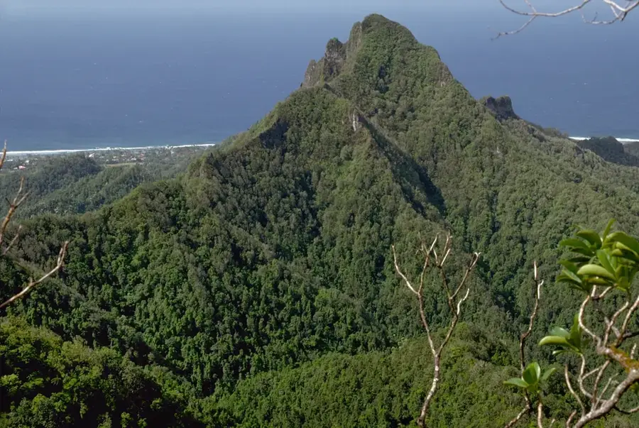
At 653 meters, Te Manga stands as the definitive pinnacle of Rarotonga and the entire Cook Islands archipelago. This rugged volcanic peak is not for the casual tourist; the ascent requires navigating steep, often muddy ridges using fixed ropes for support in critical sections. The trail cuts through dense, mist-shrouded tropical rainforest where unique native ferns and orchids thrive in the humid environment. Reaching the summit rewards experienced hikers with a panoramic 360-degree panorama of the island's jagged interior, the coastal ring of Avarua, and the deep blue of the Pacific breaking against the distant reef. Due to its elevation, the peak is frequently veiled in thick clouds, creating a microclimate that supports distinct biodiversity compared to the coastal lowlands.
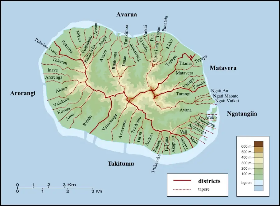
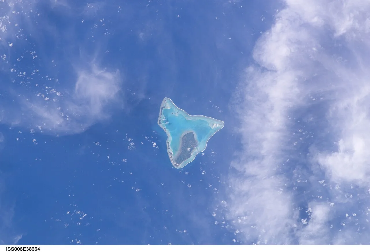
- Location: Cook Islands
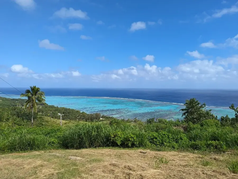
- Top sights: Te Manga · Clear View · Takitumu Conservation Area
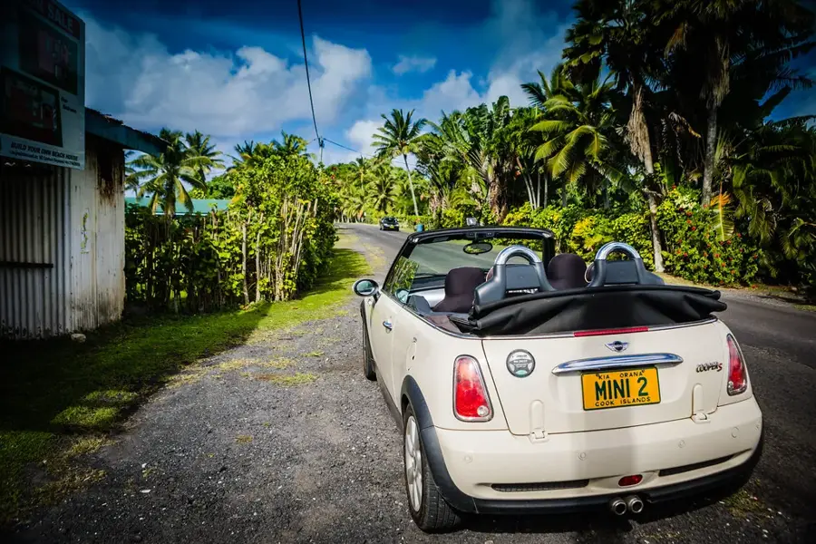
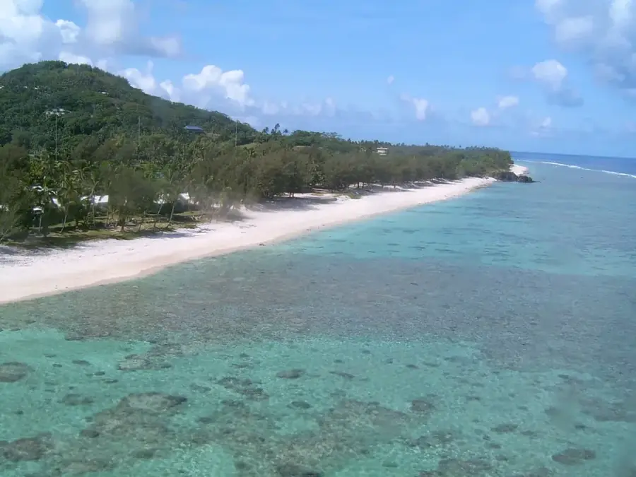
- Nearby: Avarua (4 km)
Best time to visit & climate
The most pleasant time to visit is Jun–Aug.
| Jan | Feb | Mar | Apr | May | Jun | Jul | Aug | Sep | Oct | Nov | Dec | |
|---|---|---|---|---|---|---|---|---|---|---|---|---|
| Avg °C | 26 | 27 | 27 | 26 | 25 | 24 | 23 | 23 | 23 | 24 | 25 | 26 |
| Rain mm | 195 | 202 | 198 | 166 | 150 | 62 | 77 | 63 | 83 | 95 | 144 | 175 |
📋 Practical info
Geography
Facts
- Height: 652 m.
- Hike duration: 3–4 hours.
- Geology: volcanic basalt.
- Annual ascents: 5,000.
- Summit temperature avg: 18°C.
- Last eruption: 1.2 million years ago.
Explore nearby
Notable places around
Route planner — Car & Motorhome
Where do you start? We build the route here, with stops and country notes along the way.
© OpenStreetMap contributors · OpenRouteService
Sights in the town Te Manga (7)
Te Kou
Mountain in New Zealand, no direct connection to the Cook Islands.
On Ridge 350m
Viewpoint on a ridge at 350 meters elevation on Rarotonga.
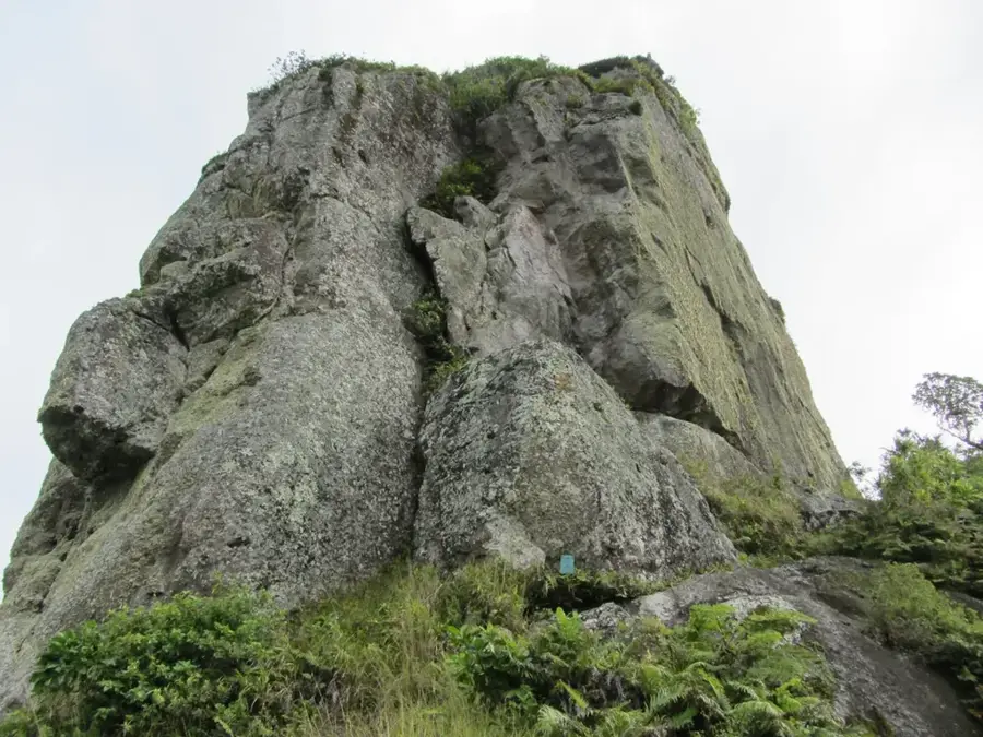
Good View of Needle
Viewpoint with a good view of the rocky Needle formation on Rarotonga.
Sights nearby
Frequently asked questions
How high is the summit of Te Manga?
Is the climb dangerous?
Is there a good view from the summit?
How long does the climb take?
When should you start the hike?
Te Manga: where is it located?
Te Manga: what is there to see?
Te Manga: when is the best time to visit?
Te Manga: why is it worth visiting?

Nearby cities


History & landmarks

Nature


More places