Plizio Visual Lab
Avatiu Harbour
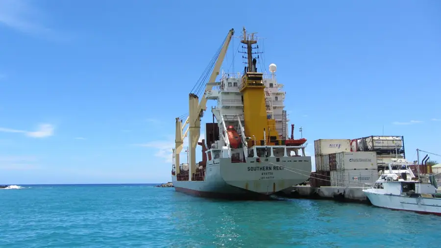
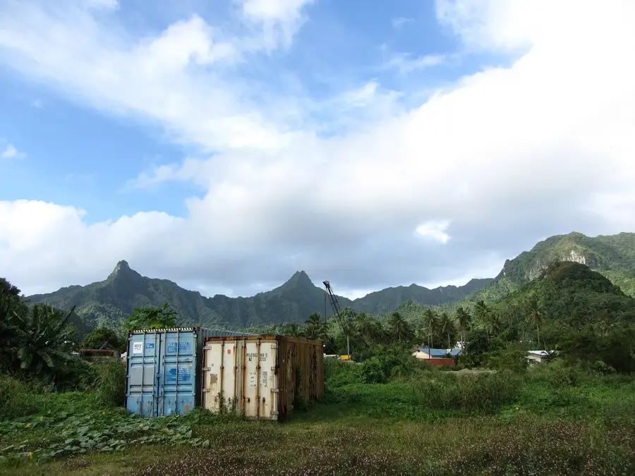
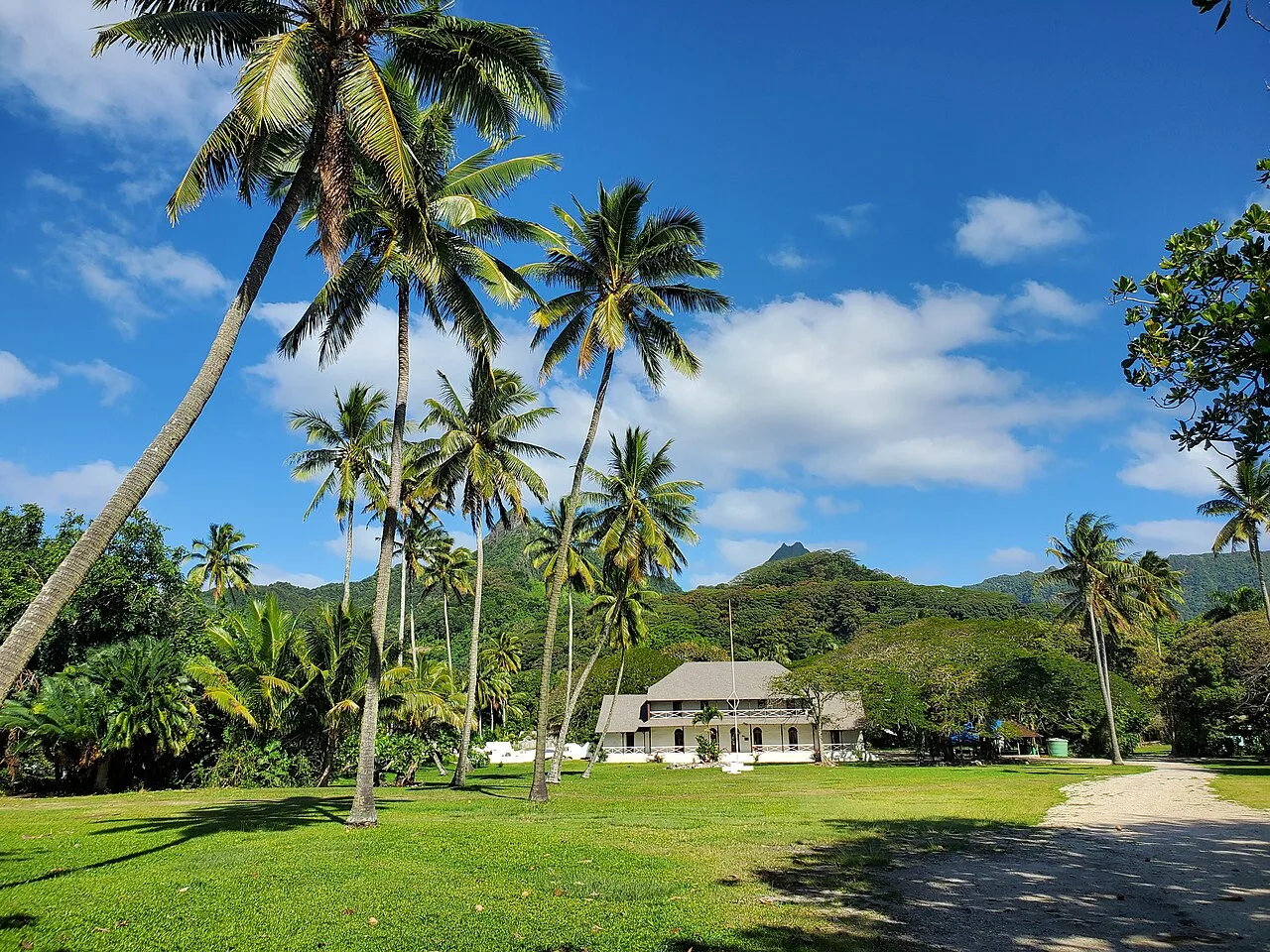
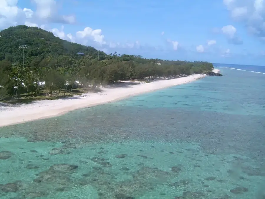
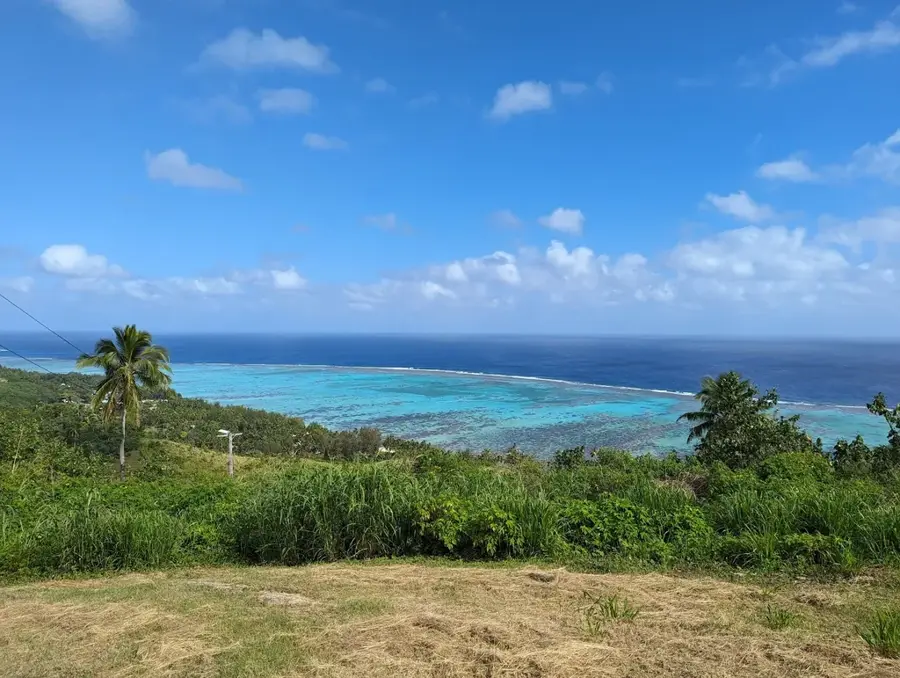
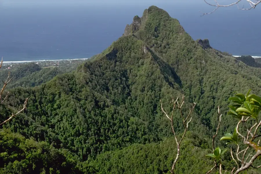
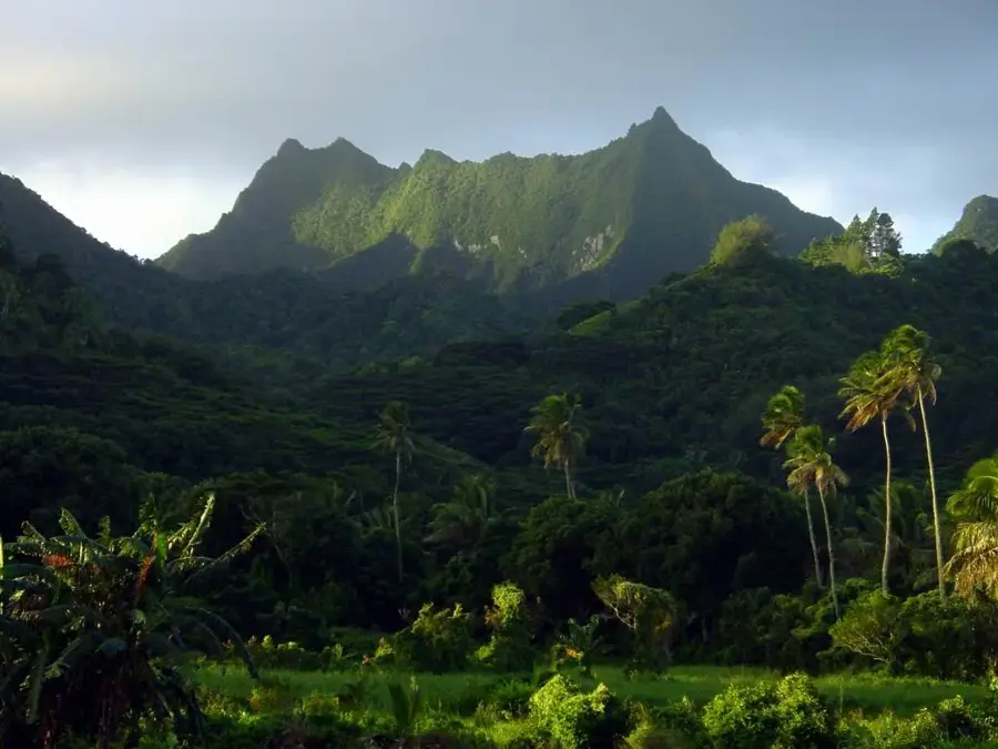
Avatiu Harbour, situated on the northern coast of Rarotonga near the capital Avarua, is the primary international gateway to the Cook Islands. As the country's only deepwater port capable of handling large-scale commercial shipping, it is vital for the nation's economy, managing nearly all imports of food, fuel, and vehicles. The harbour underwent a significant redevelopment between 2011 and 2013, which involved dredging the basin to accommodate larger vessels and improving the wharf infrastructure to withstand tropical cyclones. Beyond its logistical importance, Avatiu is a bustling hub for tourism, serving as the main arrival point for international cruise ships. It also houses a marina for visiting yachts navigating the South Pacific and serves as the home base for the local commercial fishing industry. The area around the harbour provides a unique glimpse into the daily life of the islands, combining industrial activity with scenic views of the Pacific Ocean and the lush volcanic peaks of the interior.
- Location: Cook Islands
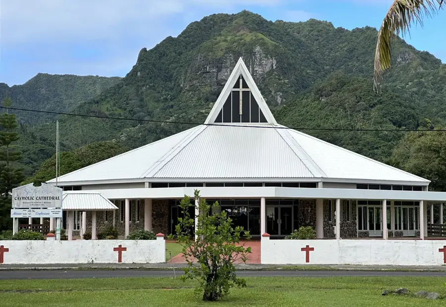
- Top sights: The Little Red Gallery · Avatiu Harbour · St. Joseph's Cathedral
- Nearby: Arorangi (5 km)
Best time to visit & climate
The most pleasant time to visit is Jun–Aug.
| Jan | Feb | Mar | Apr | May | Jun | Jul | Aug | Sep | Oct | Nov | Dec | |
|---|---|---|---|---|---|---|---|---|---|---|---|---|
| Avg °C | 26 | 27 | 27 | 26 | 25 | 24 | 23 | 23 | 23 | 24 | 25 | 26 |
| Rain mm | 195 | 202 | 198 | 166 | 150 | 62 | 77 | 63 | 83 | 95 | 144 | 175 |
📋 Practical info
Geography
Facts
- Avatiu Harbour was built in the 1960s and upgraded in the 1990s.
- The main wharf is 150 meters long.
- Annual cargo throughput is approximately 200,000 tonnes.
- Water depth at the wharf reaches up to 8 meters.
- The harbour serves as a base for the Cook Islands fishing fleet.
- Avarua town centre is less than 2 km from the harbour.
Explore nearby
Notable places around
Route planner — Car & Motorhome
Where do you start? We build the route here, with stops and country notes along the way.
© OpenStreetMap contributors · OpenRouteService
Sights in the town Avatiu Harbour (10)
BCA Art Gallery🏛 museum
Art gallery in Avatiu, Cook Islands. Exhibits contemporary art.
Whale and Wildlife Centre
Center in Avatiu about whales and wildlife of the Cook Islands.
Cook Islands Museum🏛 museum
Museum in Avatiu, Cook Islands. Displays history and culture.
Taputapuātea
Ruins site in Avatiu, Cook Islands. Historical remains.
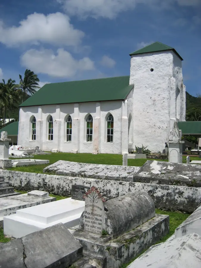
Galilea
Church in Avatiu, Cook Islands. Place of worship.
Cook Islands Library and Museum🏛 museum
Library and museum in Avatiu, Cook Islands. Archive and exhibits.
Sights nearby
Frequently asked questions
What role does Avatiu Harbour play?
Can you visit the harbor?
Do excursion boats start from there as well?
Are there restaurants in the harbor?
When do cruise ships dock?
Avatiu Harbour: where is it located?
Avatiu Harbour: what is there to see?
Avatiu Harbour: when is the best time to visit?
Avatiu Harbour: why is it worth visiting?

Nearby cities

History & landmarks

Nature


More places