Plizio Visual Lab
Mount Ngouadi
Weather…
Water temperature…
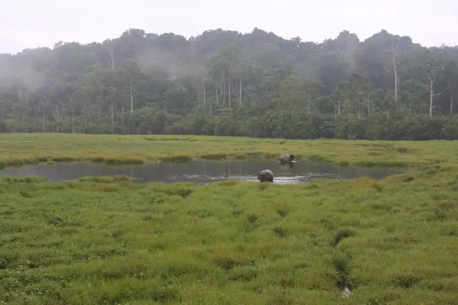
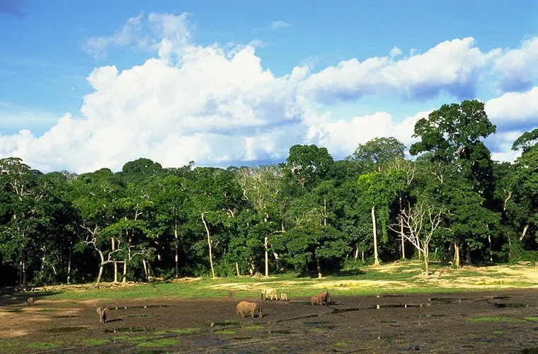
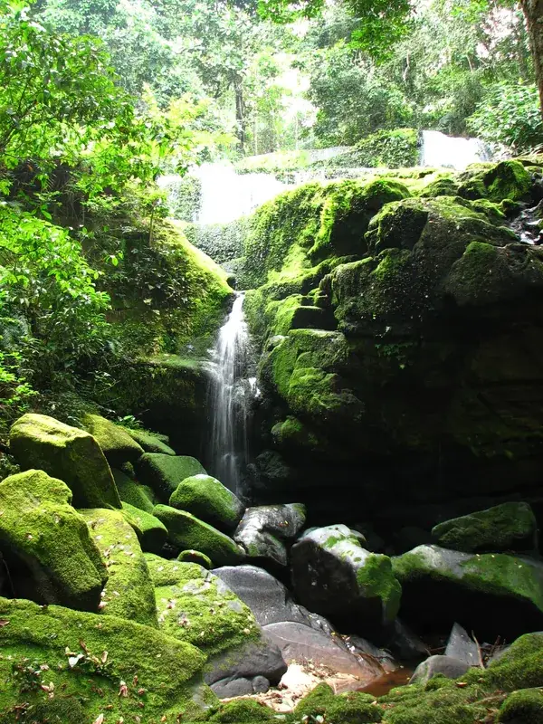
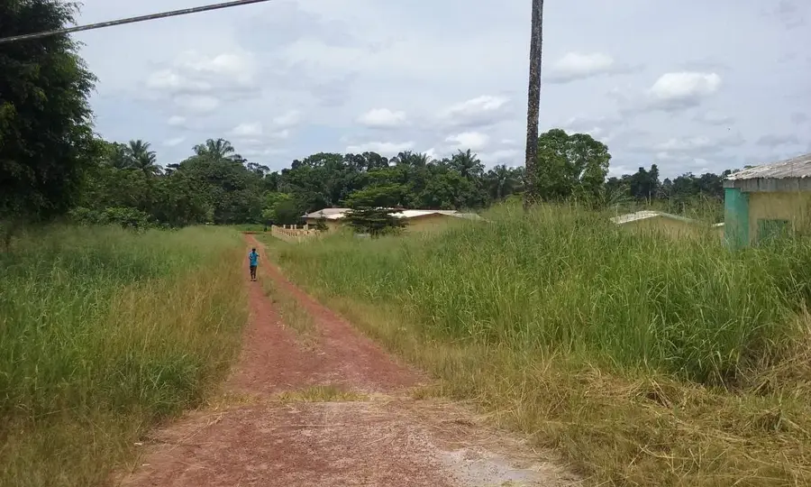
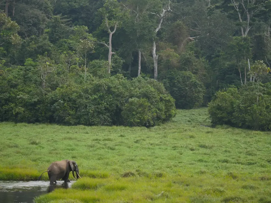
Mount Ngouadi is a remote peak in the far north of the Republic of the Congo, located in the Sangha region near the border with Cameroon. Rising to approximately 920 meters, it is situated within the Sangha Trinational protected area, a designated UNESCO World Heritage site. The mountain is composed of extremely ancient Precambrian rock, reflecting the geological stability of the Central African Shield. The surroundings of Mount Ngouadi are covered by largely untouched primary rainforest, boasting some of Africa's highest biodiversity rates and serving as a critical habitat for the Western lowland gorilla and forest elephant. Due to its extreme inaccessibility and the absence of permanent road links, the mountain has remained a sanctuary for rare animal and plant species. For the indigenous Baka people, Ngouadi holds deep spiritual significance and is frequently visited for ritual ceremonies. Scientifically, the mountain is of great importance for studying the evolution of tropical ecosystems in undisturbed environments. Mount Ngouadi embodies the wild, pristine nature of northern Congo and serves as a central pillar for international conservation efforts in the region.
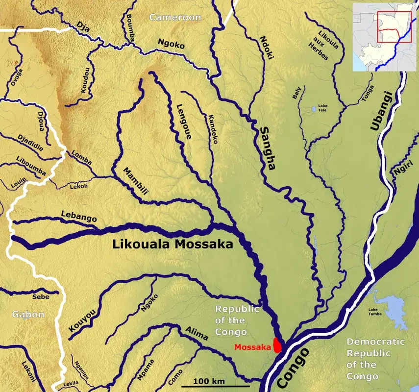
- Location: Congo - Brazzaville
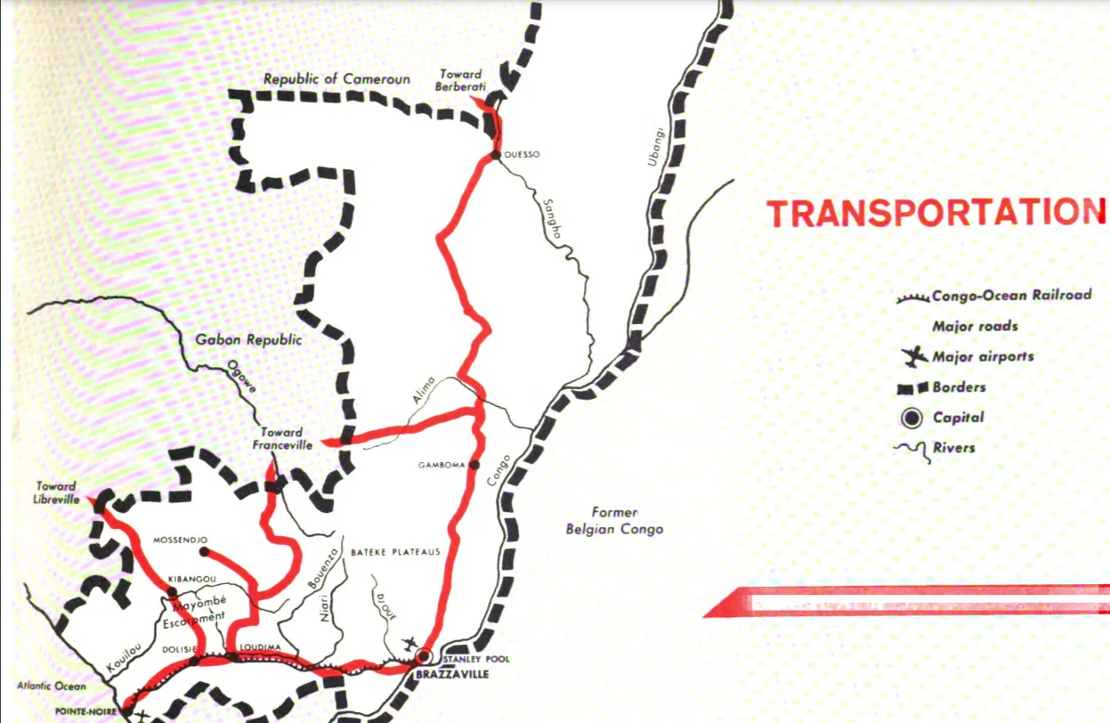
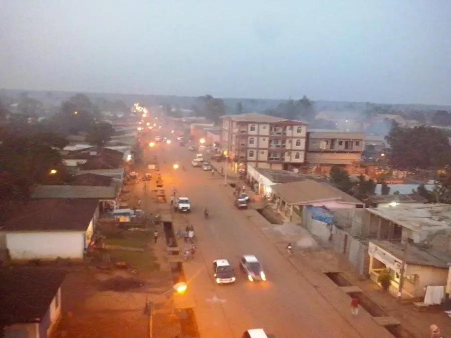
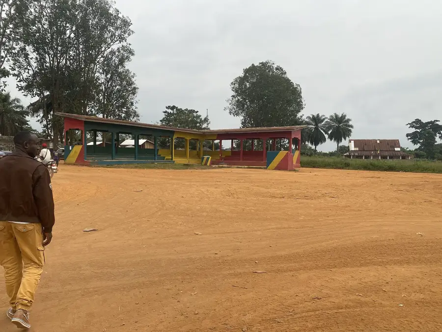
- Nearby: Souanké (88 km)
Best time to visit & climate
The most pleasant time to visit is Jan, Jun, Jul.
| Jan | Feb | Mar | Apr | May | Jun | Jul | Aug | Sep | Oct | Nov | Dec | |
|---|---|---|---|---|---|---|---|---|---|---|---|---|
| Avg °C | 26 | 26 | 25 | 25 | 25 | 25 | 25 | 25 | 24 | 24 | 24 | 25 |
| Rain mm | 47 | 81 | 170 | 146 | 148 | 79 | 47 | 81 | 163 | 229 | 173 | 97 |
📋 Practical info
Geography
Facts
- The peak reaches an elevation of approximately 920 meters (3,018 feet).
- It is located within the Sangha Trinational UNESCO World Heritage site.
- The forests host an estimated population of 2,000 lowland gorillas.
- Geologically, the mountain is part of the ancient Central African Shield.
- Annual rainfall averages around 1,600 millimeters in this region.
- Indigenous Baka people utilize the area for traditional healing rituals.
Explore nearby
Notable places around
Route planner — Car & Motorhome
Where do you start? We build the route here, with stops and country notes along the way.
© OpenStreetMap contributors · OpenRouteService
Sights nearby
Frequently asked questions
What is the best season?
What is the vegetation like?
Is food available?
What is the climate like at the top?
Are there campsites?
Mount Ngouadi: where is it located?
Mount Ngouadi: when is the best time to visit?
Mount Ngouadi: why is it worth visiting?

Nearby cities
History & landmarks
Nature

More places