Plizio Visual Lab
Mount Berongou

Weather…
Water temperature…
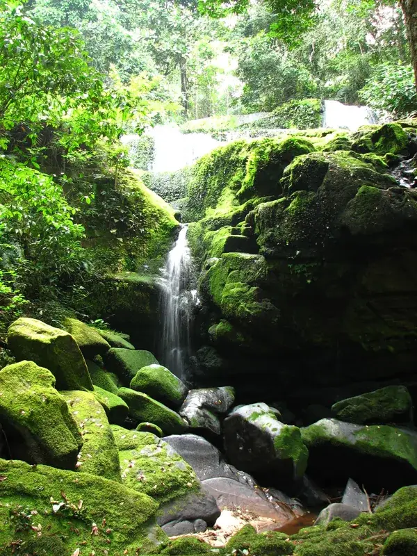
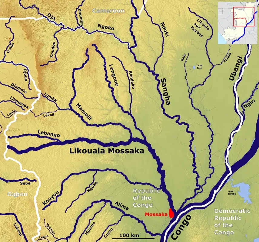
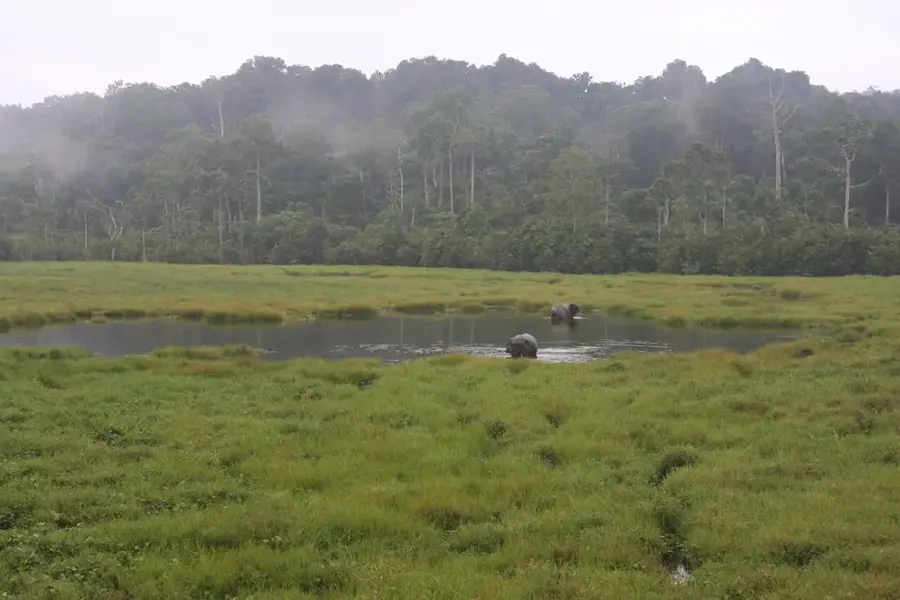
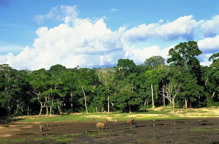
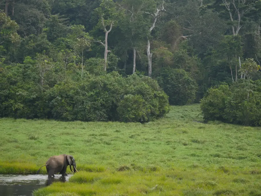
Mount Berongou is the highest peak in the Republic of the Congo, situated within the Chaillu Mountains near the border with Gabon. Rising to an elevation of approximately 903 meters above sea level, it stands as the tallest point in a landscape otherwise dominated by plateaus and lowlands. The mountain range is composed of ancient crystalline rock and is blanketed in dense primary montane rainforest, home to isolated flora and fauna. Historically, the region remained poorly mapped for decades due to the challenging terrain and thick vegetation that restricted access. The slopes of Mount Berongou serve as critical watersheds for several rivers that flow into the Kouilou-Niari basin. Although its absolute height is modest compared to other African peaks, it is a significant geographic landmark and a vital sanctuary for rare primates and mountain-dwelling bird species.
Best time to visit & climate
The most pleasant time to visit is Jun–Aug.
| Jan | Feb | Mar | Apr | May | Jun | Jul | Aug | Sep | Oct | Nov | Dec | |
|---|---|---|---|---|---|---|---|---|---|---|---|---|
| Avg °C | 25 | 25 | 24 | 24 | 24 | 24 | 24 | 24 | 23 | 23 | 24 | 24 |
| Rain mm | 81 | 112 | 200 | 174 | 164 | 82 | 43 | 78 | 185 | 265 | 232 | 146 |
📋 Practical info
Geography
Facts
- The official elevation is approximately 903 meters.
- The peak is located in the Chaillu Mountains in the southwest.
- It is the highest point in the Republic of the Congo.
- The geological structure consists mainly of granite and gneiss.
- The surrounding area contains gold and iron ore deposits.
- Temperatures are significantly cooler than in the lowlands.
Explore nearby
Notable places around
Route planner — Car & Motorhome
Where do you start? We build the route here, with stops and country notes along the way.
© OpenStreetMap contributors · OpenRouteService
Sights nearby
Frequently asked questions
How difficult is the ascent of Mont Berongou?
Are there marked hiking trails?
What should be planned for the hike?
Is camping allowed on the mountain?
When is the best view?
Mount Berongou: where is it located?
Mount Berongou: when is the best time to visit?
Mount Berongou: why is it worth visiting?

Nearby cities
History & landmarks
Nature

More places