Plizio Visual Lab
Mount Nabemba

Weather…
Water temperature…
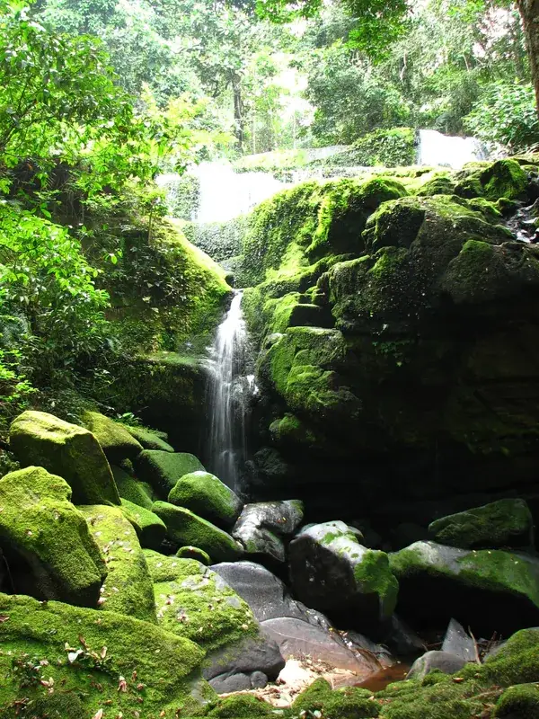
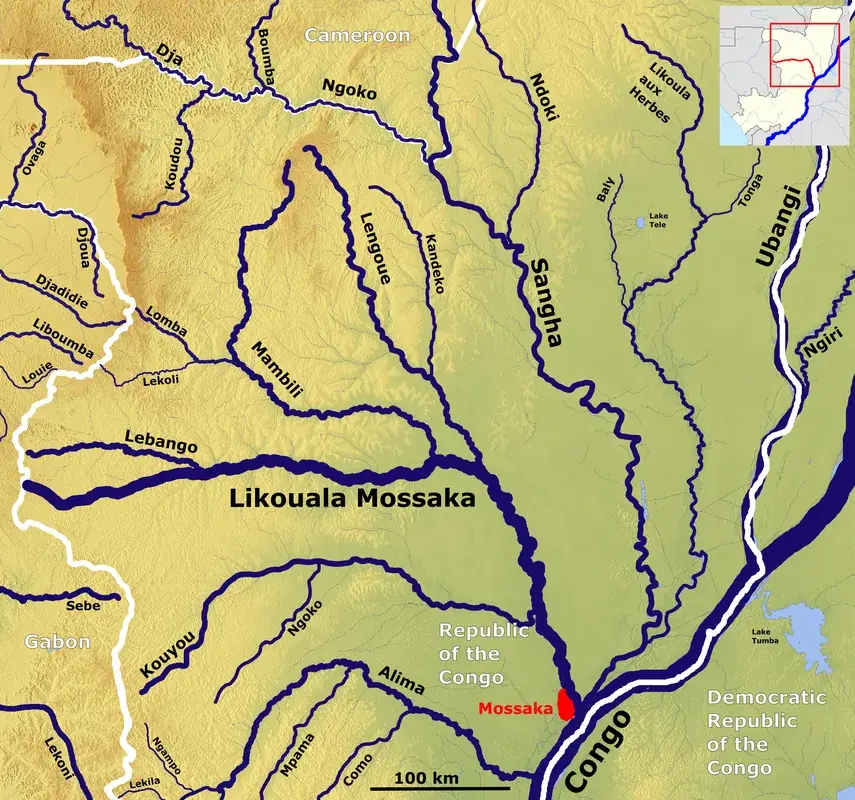
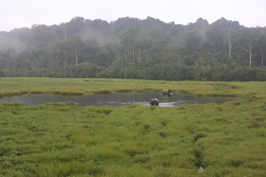
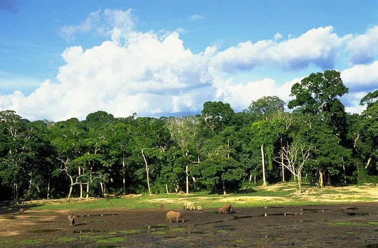
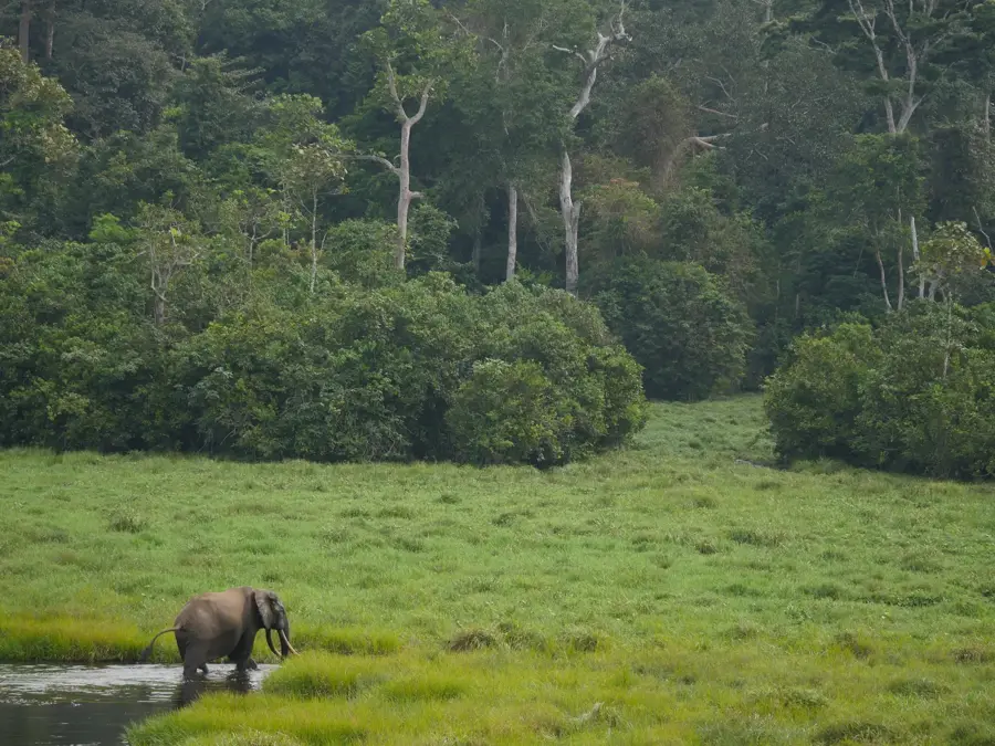
Mount Nabemba is the highest peak in the Republic of the Congo, reaching an elevation of 1,020 meters (3,346 feet). Located in the Sangha Department in the northwestern corner of the country, it stands as a significant geographic landmark near the border with Gabon. The mountain is geologically renowned for harboring some of Africa's largest deposits of high-grade iron ore, making it a focal point for international mining interests. Despite its industrial potential, the mountain remains enveloped in lush tropical rainforest, part of the broader Congo Basin ecosystem which is vital for global climate regulation. The summit is occupied by a major telecommunications tower, serving as a critical hub for the nation's signal network. The local climate at higher altitudes is noticeably cooler and more humid than the surrounding lowlands, often resulting in orographic rainfall and persistent mist. Mount Nabemba serves as a symbol of the country's natural wealth, representing both its immense biodiversity and its untapped mineral resources.
Best time to visit & climate
The most pleasant time to visit is Jan, Jun, Jul.
| Jan | Feb | Mar | Apr | May | Jun | Jul | Aug | Sep | Oct | Nov | Dec | |
|---|---|---|---|---|---|---|---|---|---|---|---|---|
| Avg °C | 26 | 26 | 25 | 25 | 25 | 25 | 25 | 25 | 24 | 24 | 24 | 25 |
| Rain mm | 47 | 81 | 170 | 146 | 148 | 79 | 47 | 81 | 163 | 229 | 173 | 97 |
📋 Practical info
Geography
Facts
- At 1,020 meters, it is the only peak in the Republic of the Congo exceeding 1,000 meters.
- The mountain is situated within the Sangha Department, near the town of Souanké.
- It contains vast iron ore deposits that are central to the 'Mayoko-Moussandjo' mining project.
- The summit hosts a strategic telecommunications relay station for the northern provinces.
- Orchard-like formations of montane vegetation appear near the peak due to the cooler climate.
- The mountain is part of the crystalline basement complex of the Central African Shield.
Explore nearby
Notable places around
Route planner — Car & Motorhome
Where do you start? We build the route here, with stops and country notes along the way.
© OpenStreetMap contributors · OpenRouteService
Sights nearby
Frequently asked questions
Is Mont Nabemba the highest mountain in Congo?
Where is Mont Nabemba located?
What is the mountain economically known for?
Can you climb to the summit?
What vegetation predominates on Mont Nabemba?
Mount Nabemba: where is it located?
Mount Nabemba: when is the best time to visit?
Mount Nabemba: why is it worth visiting?

Nearby cities
History & landmarks
Nature

More places