Plizio Visual Lab
Coelacanth Marine Area
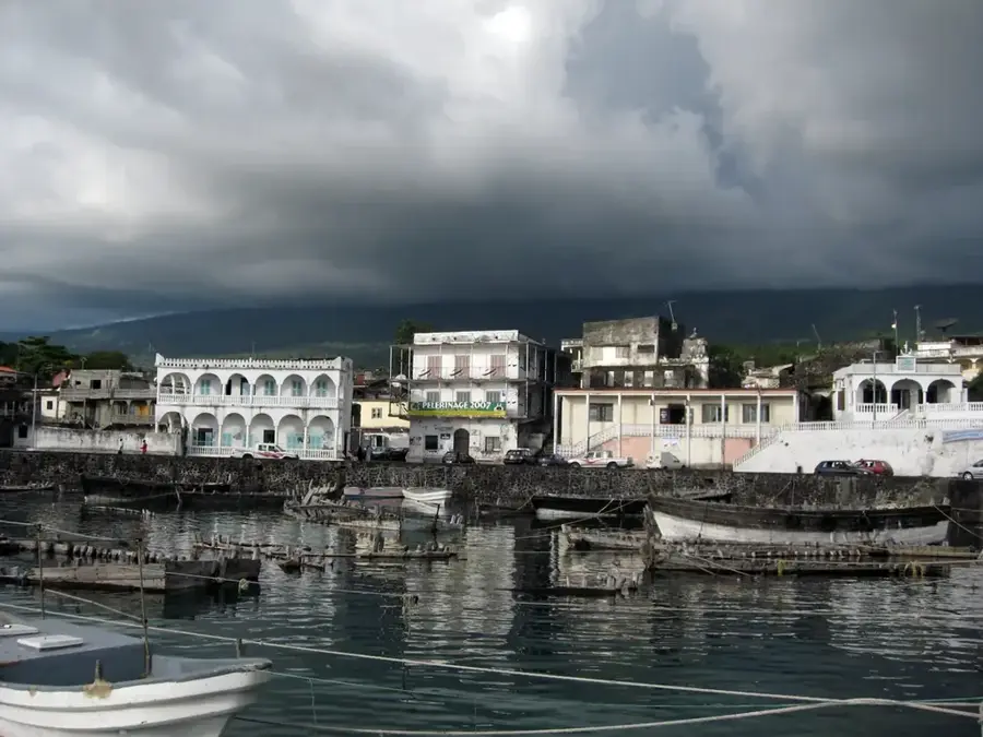
Weather…
Water temperature…
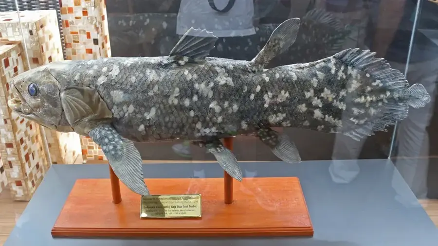
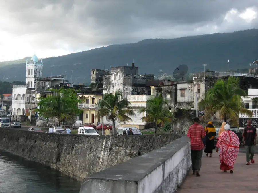
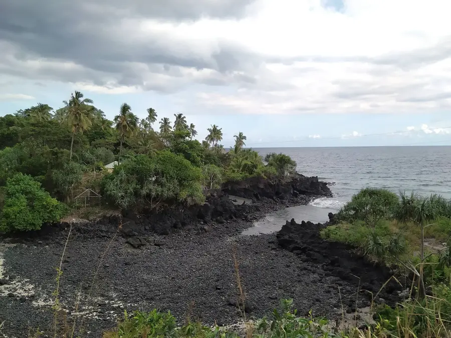
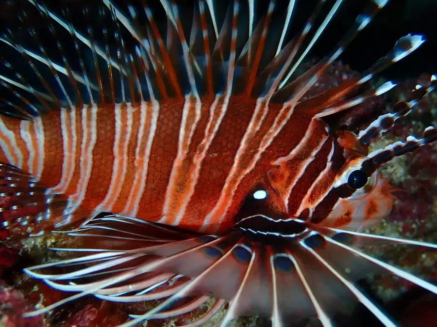
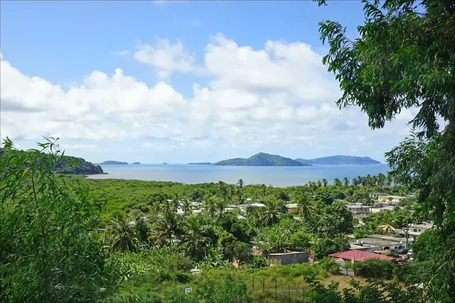
The Coelacanth Marine Protected Area, located off the southwest coast of Grande Comore (Ngazidja), is globally renowned as the primary habitat of the Comorian coelacanth (Latimeria chalumnae). This marine zone is geologically defined by steep submarine volcanic slopes and intricate lava tube caves situated at depths of 150 to 500 meters. These deep-water structures provide the necessary thermal stability and shelter for the coelacanth, a species often referred to as a 'living fossil' due to its ancient lineage dating back 360 million years. Since the definitive discovery of a live specimen in this area in 1952, the region has become a critical site for evolutionary biology and marine conservation. The protected area covers a vast expanse of the coastal shelf, safeguarding not only the coelacanths but also the biodiverse coral reefs and seagrass beds that support local fisheries. Conservation efforts focus on preventing accidental bycatch and managing coastal development to preserve the pristine conditions required by these rare creatures. Scientific expeditions frequently use submersibles here to study the unique physiology and behavior of the coelacanth in its natural, undisturbed environment.
- Location: Comoros
- Nearby: Vouvouni (6 km)
Best time to visit & climate
The most pleasant time to visit is Jul–Sep.
| Jan | Feb | Mar | Apr | May | Jun | Jul | Aug | Sep | Oct | Nov | Dec | |
|---|---|---|---|---|---|---|---|---|---|---|---|---|
| Avg °C | 28 | 28 | 28 | 28 | 27 | 26 | 25 | 25 | 25 | 26 | 27 | 28 |
| Rain mm | 194 | 147 | 144 | 137 | 69 | 41 | 35 | 25 | 23 | 40 | 45 | 101 |
📋 Practical info
Geography
Facts
- The first live Comorian coelacanth was identified in December 1952.
- The protected zone covers the southwest shelf of Ngazidja island.
- Coelacanths inhabit volcanic caves at depths between 150-500m.
- They are nocturnal predators feeding on smaller fish and squid.
- The species can weigh up to 95 kilograms and reach 2 meters.
- Local 'Gombessa' conservation clubs help monitor the marine area.
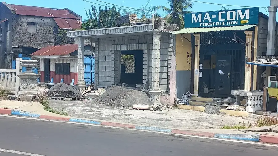
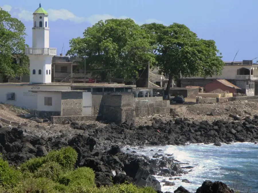
Explore nearby
Notable places around
Route planner — Car & Motorhome
Where do you start? We build the route here, with stops and country notes along the way.
© OpenStreetMap contributors · OpenRouteService
Sights in the town Coelacanth Marine Area (1)
Sights nearby
Frequently asked questions
What is a Coelacanth?
Can you see Coelacanths while diving?
Where is the marine area located?
Is there a museum on the subject?
Is fishing allowed in the area?
Coelacanth Marine Area: where is it located?
Coelacanth Marine Area: when is the best time to visit?
Coelacanth Marine Area: why is it worth visiting?

Nearby cities


History & landmarks

More places