Plizio Visual Lab
Pointe de Mitsamiouli

Weather…
Water temperature…
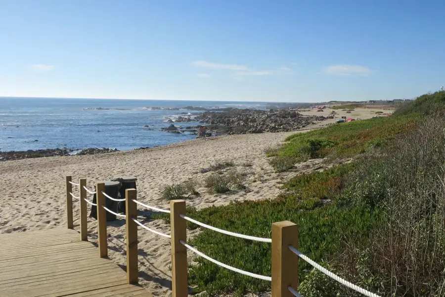
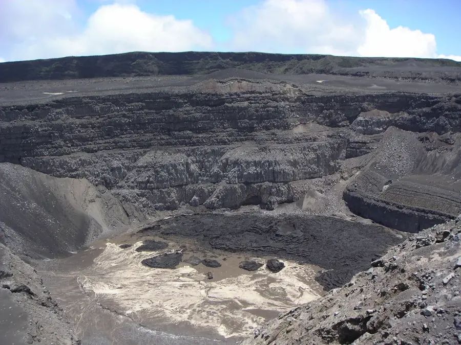
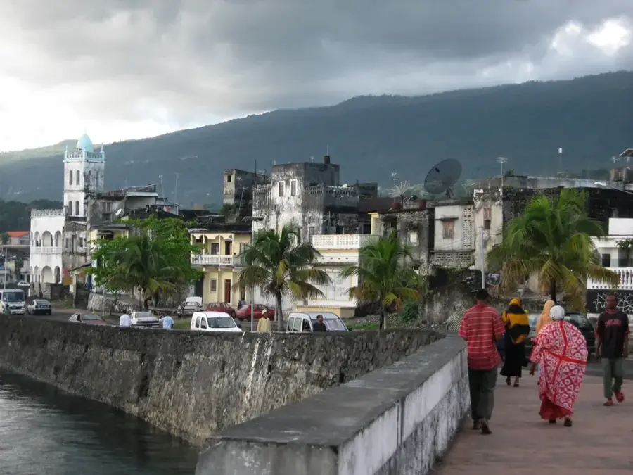
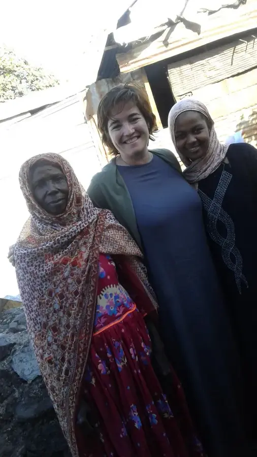
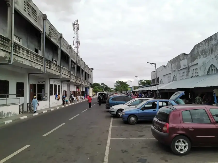
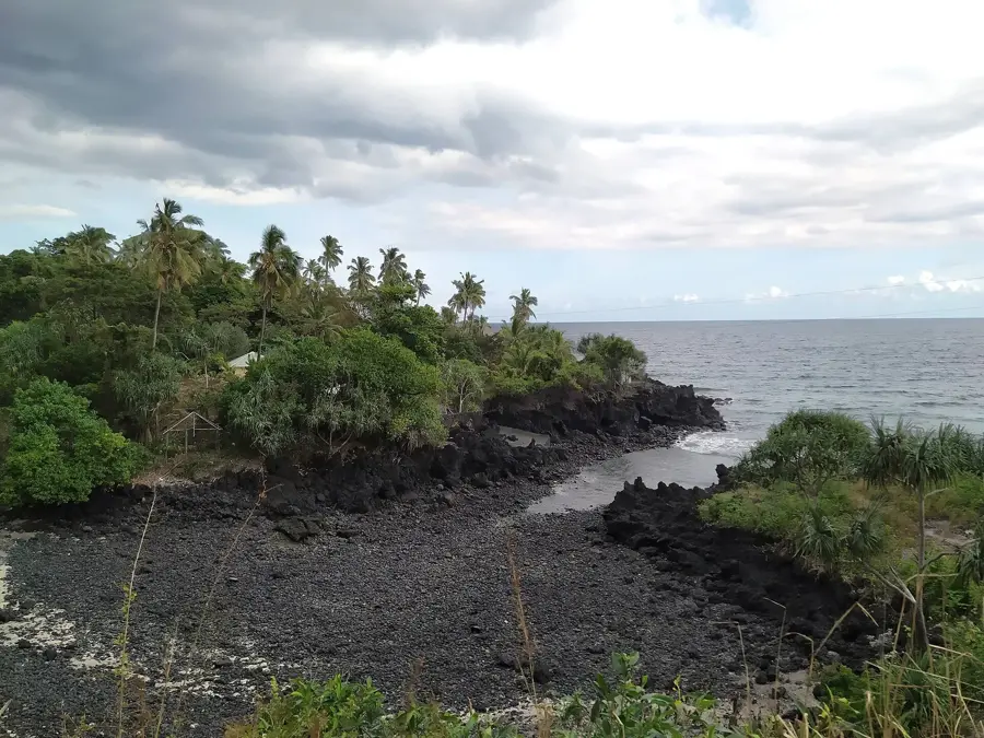
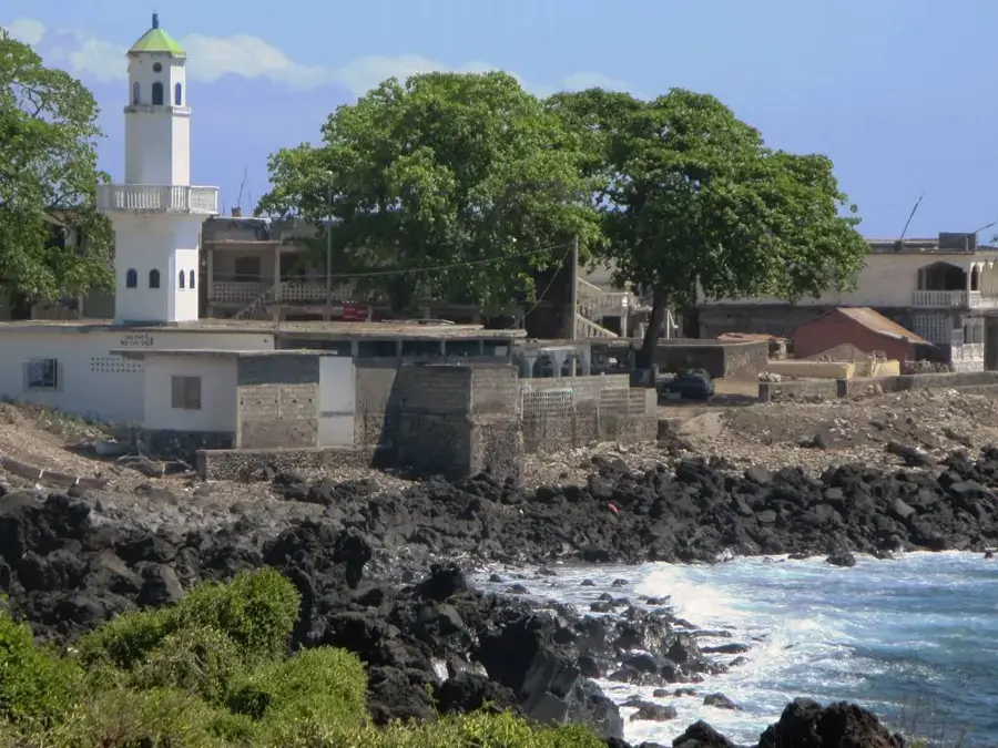
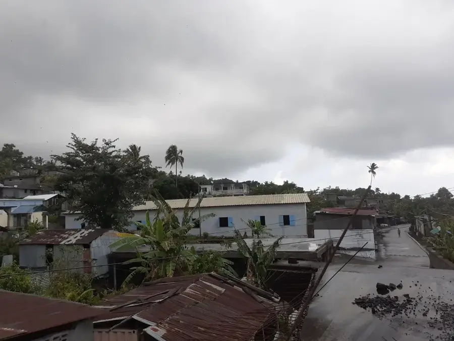
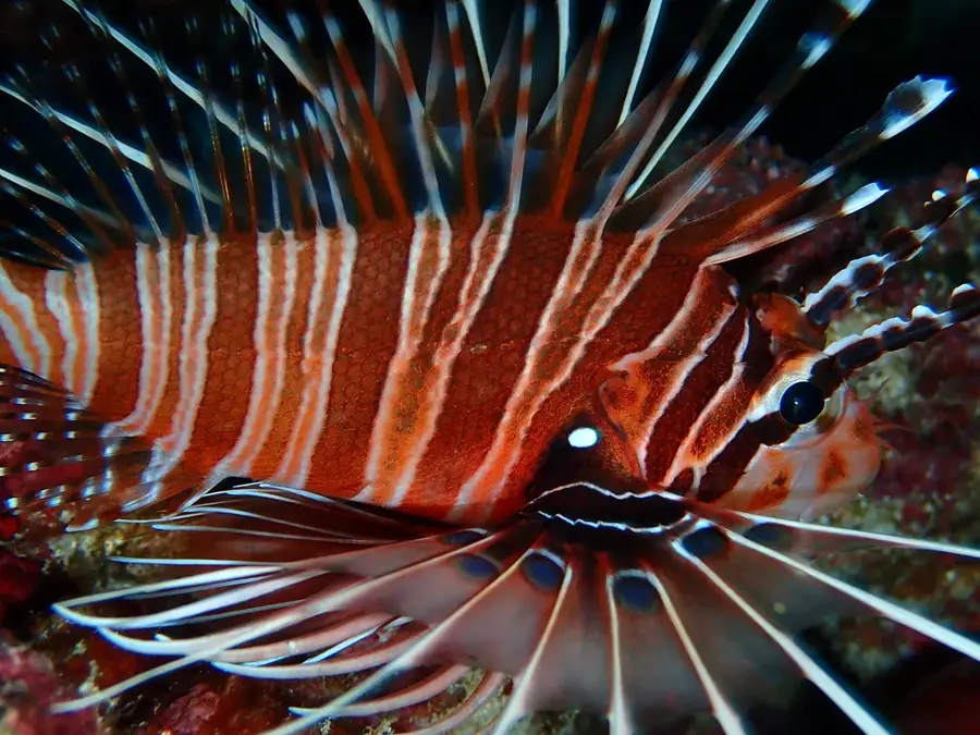
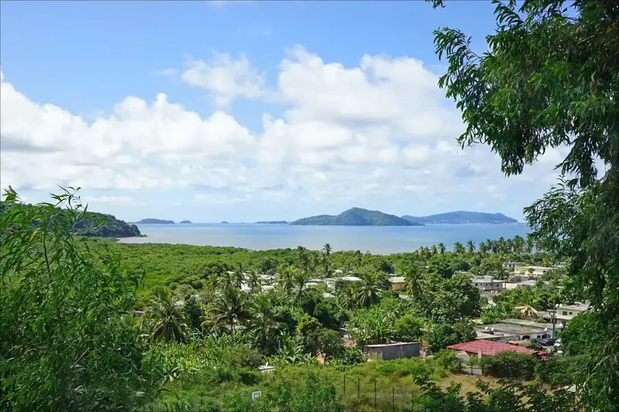
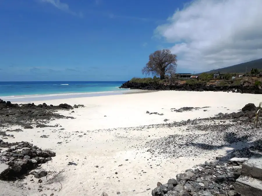
Pointe de Mitsamiouli marks the northernmost tip of Grande Comore island and is a region of exceptional geological and touristic significance. The landscape is defined by rugged volcanic rock formations that drop sharply into the Indian Ocean, interspersed with pristine white sand beaches. Historically, Mitsamiouli has been a major center for local fishing and a strategic lookout point for maritime traffic passing through the Mozambique Channel. The surrounding coral reefs are among the best-preserved in the archipelago, making the area a premier destination for world-class diving and snorkeling. The region displays the ancient lava flows from Mount Karthala, which have permanently shaped the soil composition and coastal vegetation of the north. Today, the area balances traditional village life with modern tourism infrastructure, focusing increasingly on marine conservation to ensure the long-term sustainability of its spirited underwater ecosystems.
Best time to visit & climate
The most pleasant time to visit is Jan, Feb, Dec.
| Jan | Feb | Mar | Apr | May | Jun | Jul | Aug | Sep | Oct | Nov | Dec | |
|---|---|---|---|---|---|---|---|---|---|---|---|---|
| Avg °C | 10 | 10 | 10 | 10 | 9 | 8 | 8 | 7 | 7 | 8 | 8 | 9 |
| Rain mm | 84 | 67 | 88 | 91 | 116 | 108 | 96 | 95 | 83 | 68 | 64 | 72 |
📋 Practical info
Geography
Facts
- The northernmost geographic point of Grande Comore island
- Home to the famous white sand beaches of Trou du Prophète
- A traditional hub for local artisanal fishing industries
- Features some of the most pristine coral reefs in the country
- Volcanic landscape shaped by ancient flows from Mount Karthala
- One of the earliest established tourist destinations in the Comoros
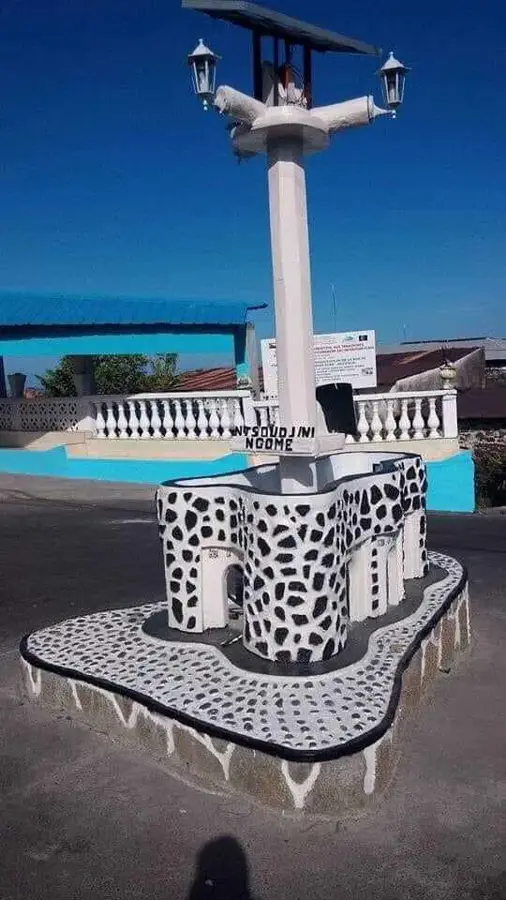
Explore nearby
Notable places around
Route planner — Car & Motorhome
Where do you start? We build the route here, with stops and country notes along the way.
© OpenStreetMap contributors · OpenRouteService
Sights nearby
Frequently asked questions
Where is Pointe de Mitsamiouli located?
Is diving good there?
Are there hotels nearby?
What is the best activity on site?
How far is it from Moroni?
Pointe de Mitsamiouli: where is it located?
Pointe de Mitsamiouli: when is the best time to visit?
Pointe de Mitsamiouli: why is it worth visiting?

Nearby cities
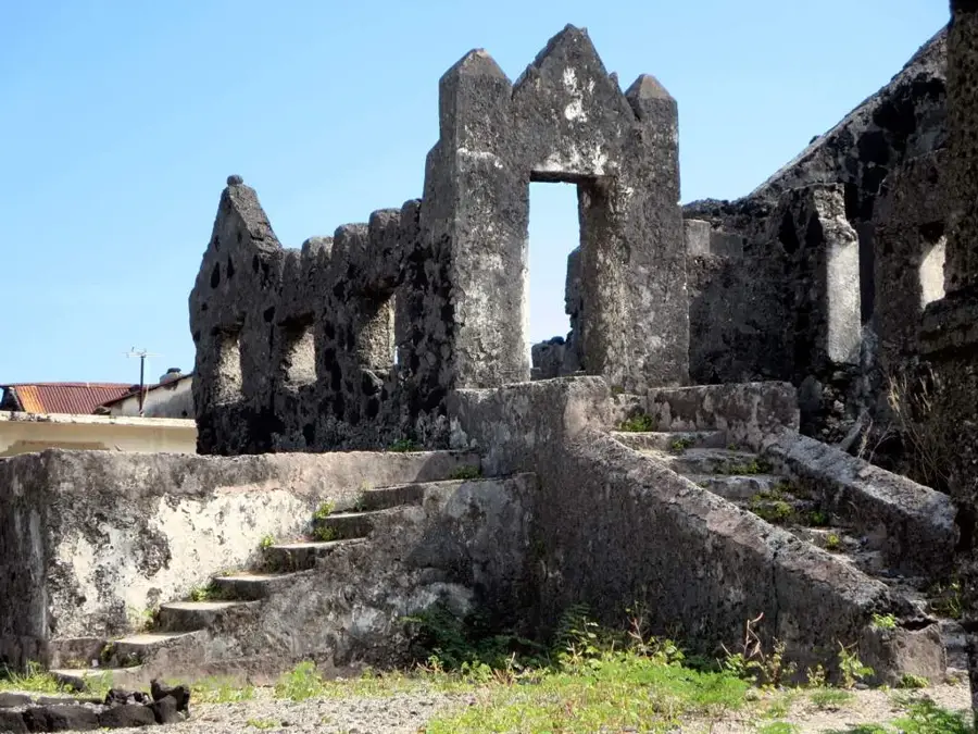

History & landmarks
More places