Plizio Visual Lab
Sierra Nevada de Santa Marta
Weather…
Water temperature…
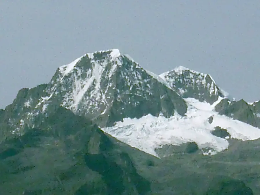
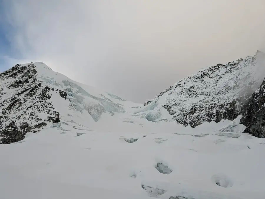
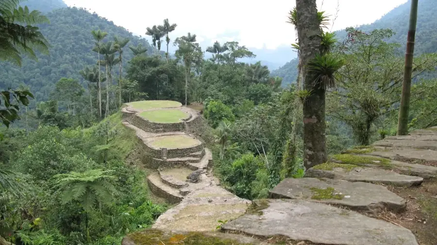
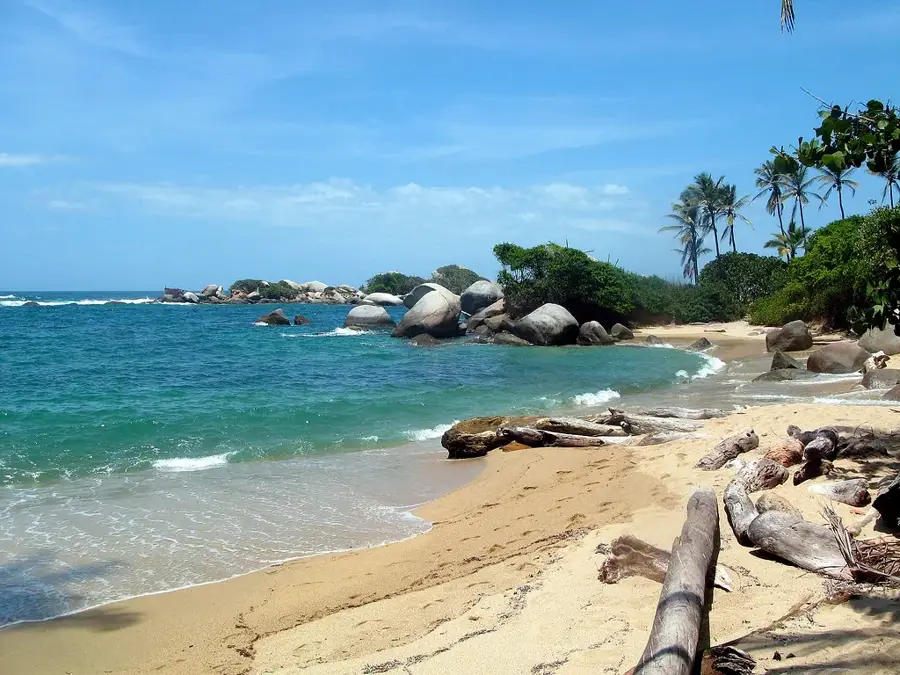
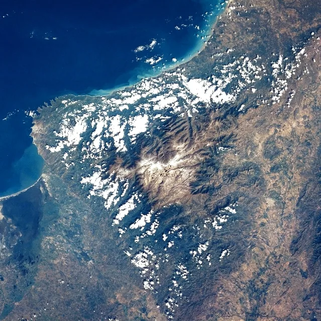
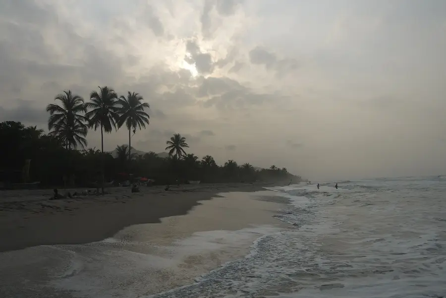
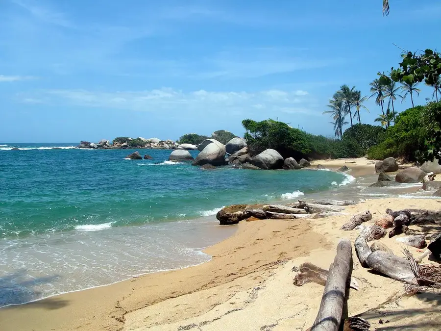
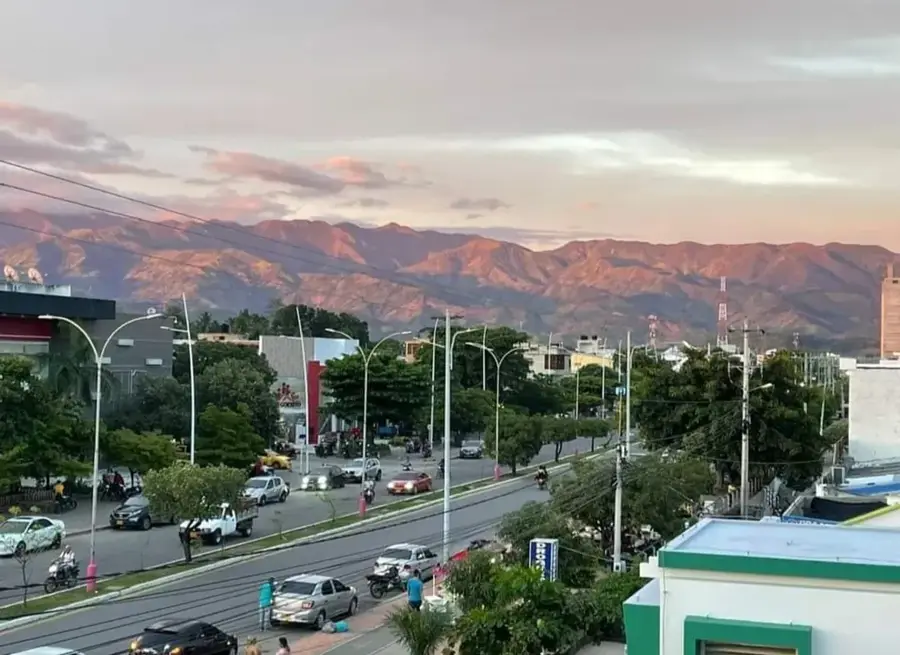
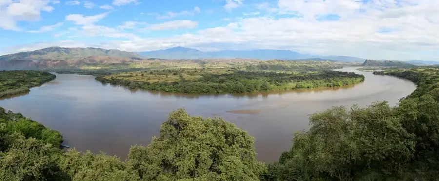
The Sierra Nevada de Santa Marta is the world's highest coastal mountain range, rising dramatically from the Caribbean Sea to an altitude of 5,700 meters. Its two highest peaks, Pico Cristóbal Colón and Pico Simón Bolívar, are the highest points in Colombia. Geographically, the massif is isolated from the Andes and represents a unique ecological system that encompasses almost all the Earth's climatic zones, from tropical beaches at the base to eternal glaciers on the peaks. The Sierra Nevada is the ancestral territory of four indigenous groups: the Kogui, Arhuaco, Wiwa, and Kankuamo, who consider the mountain to be the 'heart of the world.' One of South America's most significant archaeological sites, Ciudad Perdida (Lost City), is located in the dense forests of this range and bears witness to the advanced Tayrona culture. Due to its isolated location, the Sierra Nevada is home to an exceptionally high number of endemic animal and plant species. It was declared a Biosphere Reserve by UNESCO in 1979 and is today considered one of the most irreplaceable protected areas in the world, providing vital ecosystem services for the entire surrounding region.
- Location: Colombia
- Nearby: Palomino (21 km)
Best time to visit & climate
The most pleasant time to visit is Jan, Feb, Dec.
| Jan | Feb | Mar | Apr | May | Jun | Jul | Aug | Sep | Oct | Nov | Dec | |
|---|---|---|---|---|---|---|---|---|---|---|---|---|
| Avg °C | 21 | 22 | 22 | 23 | 23 | 23 | 23 | 23 | 22 | 22 | 21 | 21 |
| Rain mm | 3 | 3 | 11 | 34 | 109 | 78 | 63 | 84 | 110 | 170 | 97 | 29 |
📋 Practical info
Geography
Facts
- World's highest coastal mountain range
- Pico Cristóbal Colón (5,700 m) is the peak
- Isolated from the Andean mountain chain
- Home to the Ciudad Perdida archaeological site
- Includes all of Earth's climatic zones
- UNESCO Biosphere Reserve since 1979
Explore nearby
Notable places around
Route planner — Car & Motorhome
Where do you start? We build the route here, with stops and country notes along the way.
© OpenStreetMap contributors · OpenRouteService
Sights nearby
Frequently asked questions
Is this the highest coastal mountain range in the world?
What is Ciudad Perdida?
Which indigenous groups live there?
Do you need a guide for tours?
What is the climate like?
Sierra Nevada de Santa Marta: where is it located?
Sierra Nevada de Santa Marta: when is the best time to visit?
Sierra Nevada de Santa Marta: why is it worth visiting?

Nearby cities

Nature
More places