Plizio Visual Lab
Cerro de Guadalupe
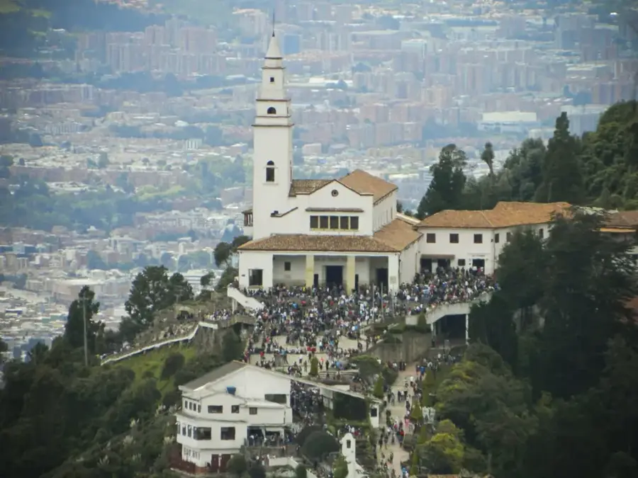
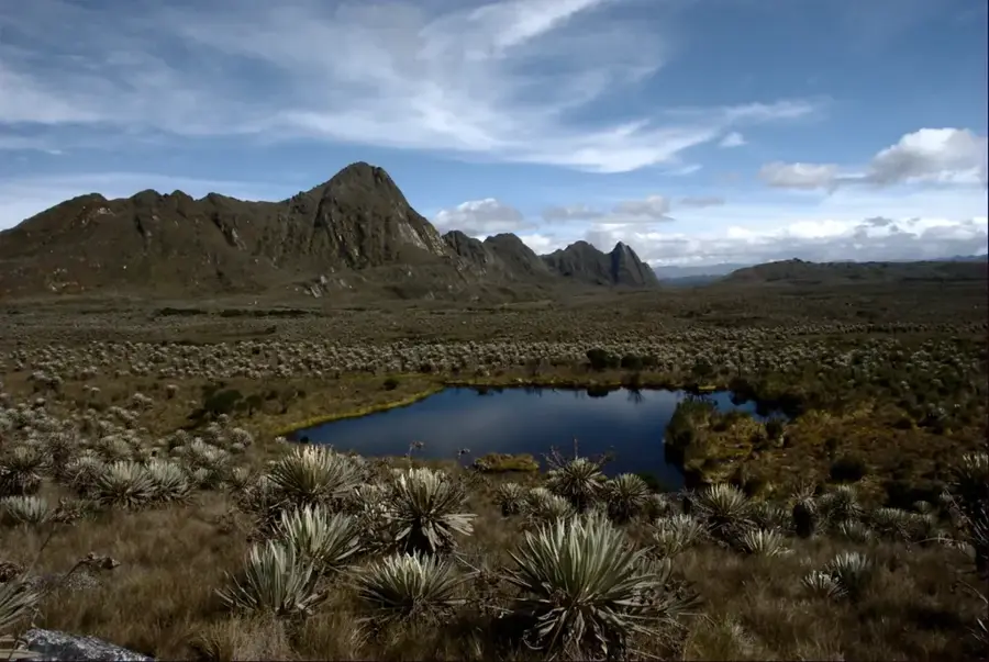
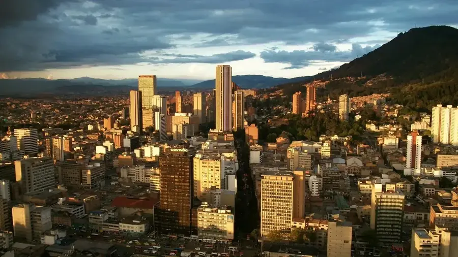
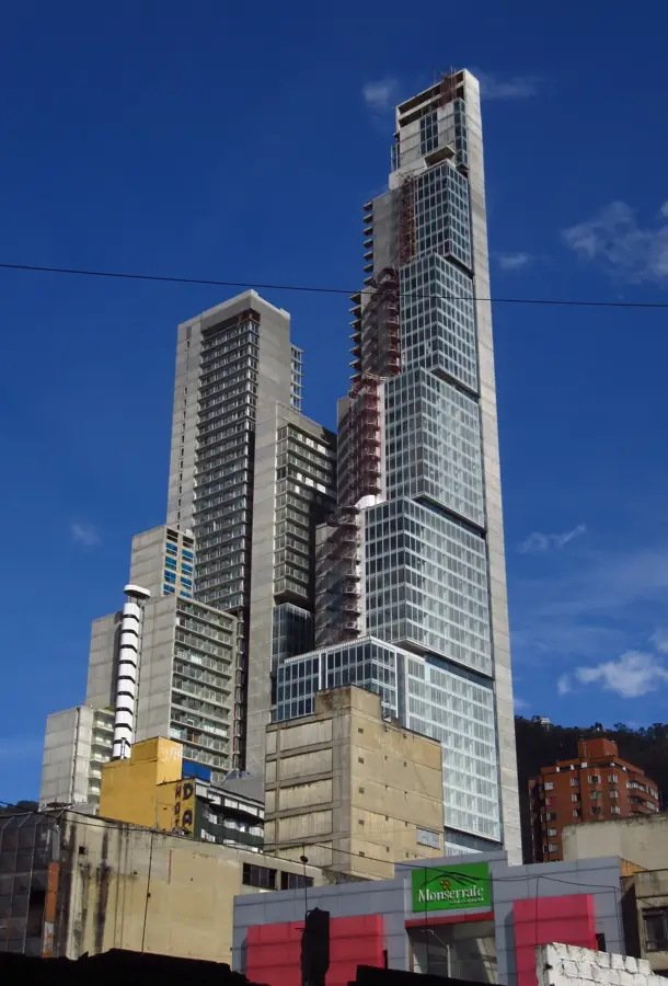
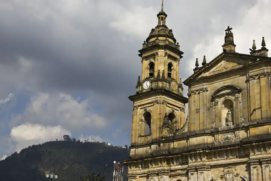
Cerro de Guadalupe is one of the two prominent guardian mountains of Bogotá, located east of the city center in the Eastern Hills (Cerros Orientales). At an altitude of approximately 3,260 meters above sea level, it is slightly higher than its more famous neighbor, Monserrate. At its summit stands a 15-meter statue of the Virgin of Guadalupe, created in 1946 by sculptor Johannes Hieronymus, along with a small chapel. Historically, the mountain held spiritual significance for the Muisca indigenous people even before the arrival of the Spaniards. The first chapel on the summit was built in the 17th century but was destroyed multiple times by earthquakes, notably in 1743, 1827, and 1917. Guadalupe provides a panoramic view over the entire Bogotá savanna and is an important destination for pilgrims and tourists alike. The mountain is part of an ecological protection belt that limits the city's eastward expansion and is vital for the local climate.
- Location: Colombia
- Top sights: Alto Los Tunjos · Parque Ecológico Mataredonda · Cueva de los monos
- Nearby: Chía (8 km)
Best time to visit & climate
The most pleasant time to visit is Jan, Feb, Dec.
| Jan | Feb | Mar | Apr | May | Jun | Jul | Aug | Sep | Oct | Nov | Dec | |
|---|---|---|---|---|---|---|---|---|---|---|---|---|
| Avg °C | 16 | 16 | 16 | 16 | 15 | 15 | 14 | 15 | 15 | 16 | 16 | 16 |
| Rain mm | 40 | 63 | 147 | 264 | 293 | 242 | 214 | 171 | 145 | 229 | 203 | 113 |
📋 Practical info
Geography
Facts
- The current statue of the Virgin is 15 meters high.
- The mountain is situated at 3,260 meters above sea level.
- The first chapel was inaugurated in 1656.
- The 1917 earthquake almost completely destroyed the church at that time.
- Access is often via a road starting from the La Candelaria district.
- It is about 100 meters higher than the Monserrate hill.
Explore nearby
Notable places around
Route planner — Car & Motorhome
Where do you start? We build the route here, with stops and country notes along the way.
© OpenStreetMap contributors · OpenRouteService
Sights in the town Cerro de Guadalupe (5)
Sights nearby
Frequently asked questions
Where is Cerro de Guadalupe located?
Is there a church there?
Is the view better than from Monserrate?
How do you get to the top?
How high is the mountain?
Cerro de Guadalupe: where is it located?
Cerro de Guadalupe: what is there to see?
Cerro de Guadalupe: when is the best time to visit?
Cerro de Guadalupe: why is it worth visiting?

Nearby cities
History & landmarks
More places