Plizio Visual Lab
Bobo-Dioulasso Hills
Weather…
Water temperature…
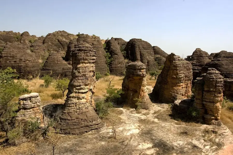
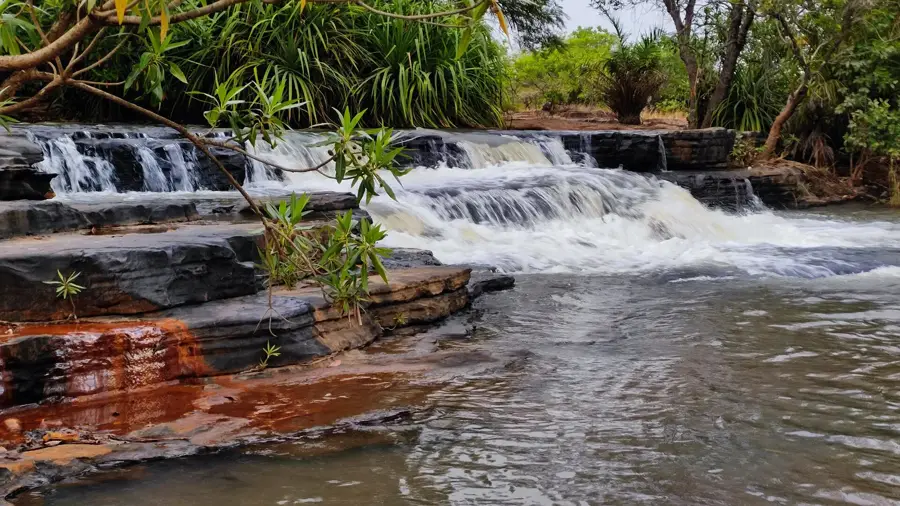
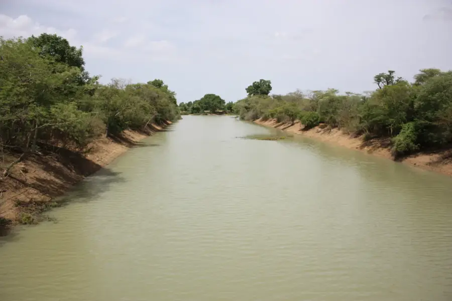
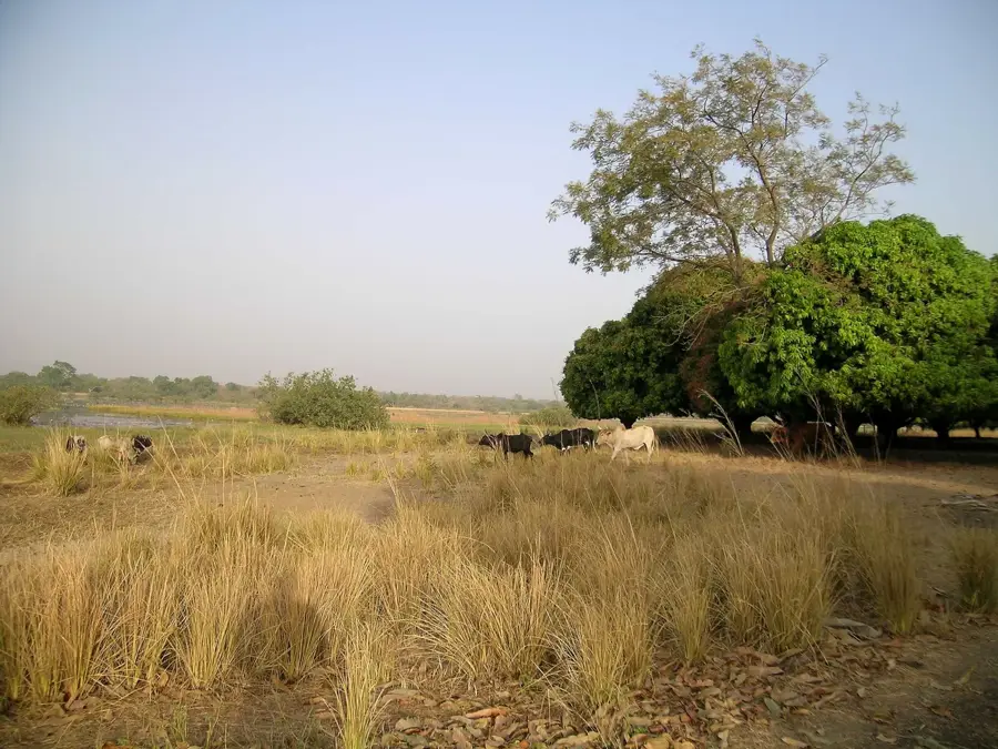
The Bobo-Dioulasso Hills stretch across western Burkina Faso, shaping the landscape surrounding the country's second-largest city. This geological formation consists primarily of sedimentary sandstone that has been sculpted by erosion over millions of years, reaching average elevations of around 400 meters. The hills are of strategic importance as they function as a drainage divide and house the source of the Houët River, which is essential for the local water supply. The valleys and slopes feature a mix of savanna vegetation and gallery forests, providing shelter for numerous wildlife species. Historically, these elevations offered natural protection to the settlers of the Bobo ethnic group and served as landmarks for ancient caravan routes. Today, the hills are not only a prominent landscape feature but also a key factor in the region's microclimate, supporting the cultivation of fruits and cereals.
- Location: Burkina Faso
- Nearby: Bama (28 km)
Best time to visit & climate
The most pleasant time to visit is Jan, Nov, Dec.
| Jan | Feb | Mar | Apr | May | Jun | Jul | Aug | Sep | Oct | Nov | Dec | |
|---|---|---|---|---|---|---|---|---|---|---|---|---|
| Avg °C | 25 | 28 | 31 | 31 | 30 | 28 | 26 | 25 | 25 | 26 | 26 | 24 |
| Rain mm | 1 | 6 | 15 | 55 | 105 | 150 | 229 | 278 | 199 | 72 | 5 | 0 |
📋 Practical info
Geography
Facts
- The hills house the source of the Houët River.
- The average elevation is approximately 400 meters.
- The rock composition is predominantly sandstone.
- The region has been settled since the 15th century.
- The hills influence local precipitation patterns.
- They historically served as a natural defense.
Explore nearby
Notable places around
Route planner — Car & Motorhome
Where do you start? We build the route here, with stops and country notes along the way.
© OpenStreetMap contributors · OpenRouteService
Sights in the town Bobo-Dioulasso Hills (1)
Sights nearby
Frequently asked questions
What makes the Bobo-Dioulasso hills special?
Can you go hiking there?
Are there sacred places in the hills?
When is it most beautiful there?
What rivers originate here?
Bobo-Dioulasso Hills: where is it located?
Bobo-Dioulasso Hills: when is the best time to visit?
Bobo-Dioulasso Hills: why is it worth visiting?

Nearby cities

Nature
More places