Plizio Visual Lab
Houndé Basin

Weather…
Water temperature…
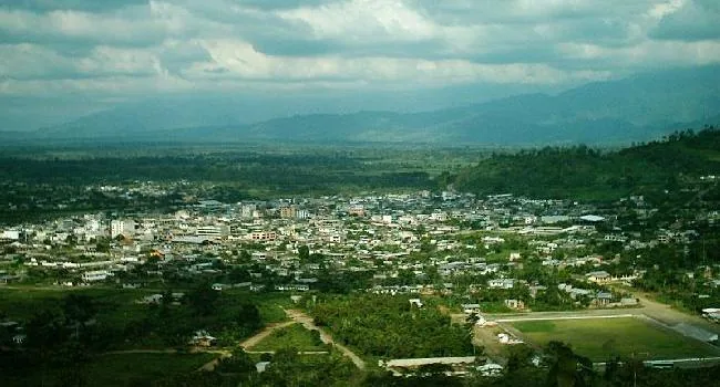
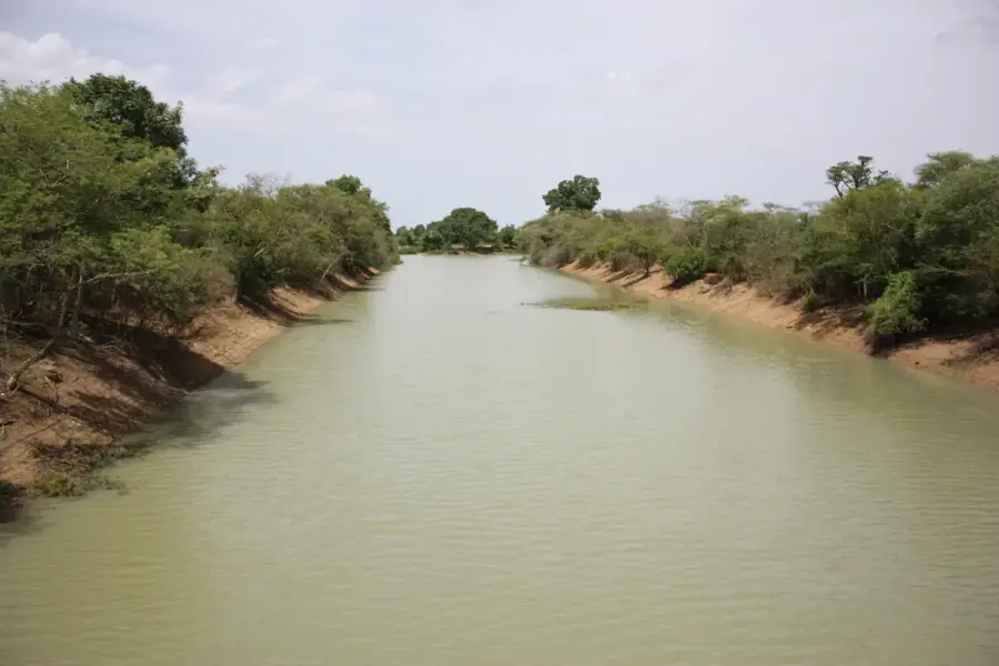
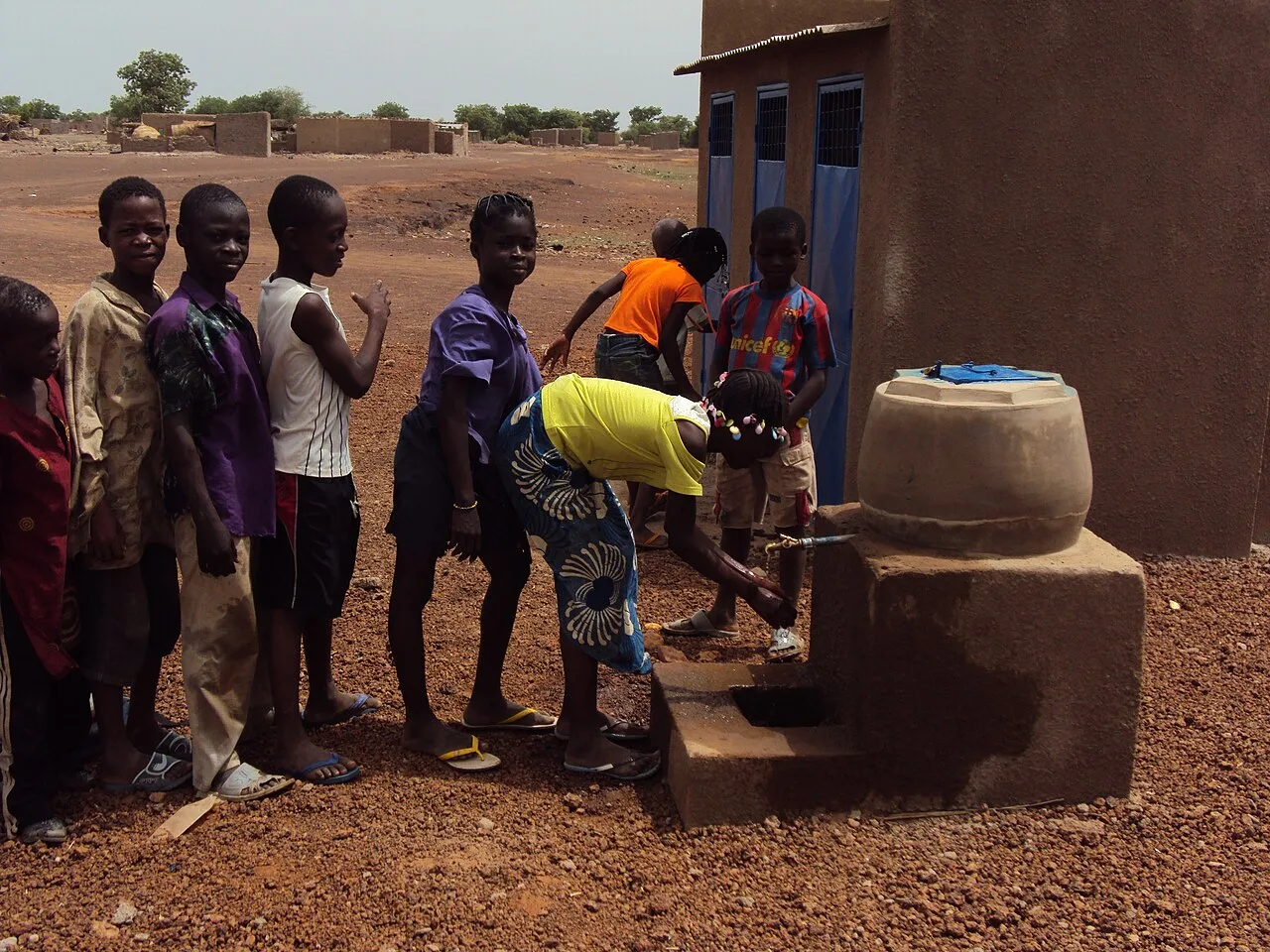
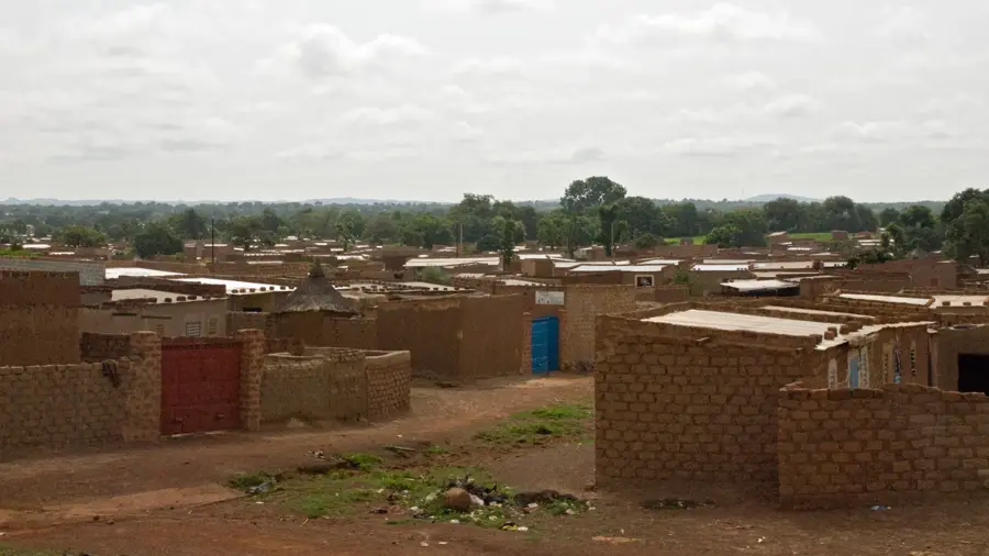
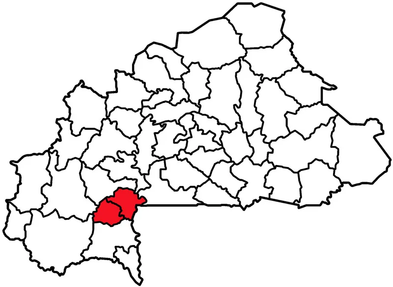
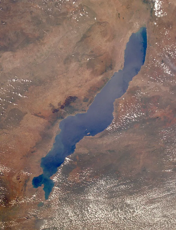
The Houndé Basin is a Paleoproterozoic sedimentary basin in southwestern Burkina Faso, covering roughly 8,500 km². It formed around 2.2 billion years ago through volcanic and sedimentary processes. The basin's geological structure is characterized by folded Birimian greenstone belts, which host significant gold deposits. Major gold mines include the Houndé Gold Mine, operated by Endeavour Mining, with proven reserves of 1.5 million ounces as of 2023. The basin's elevation ranges from 250 to 400 meters above sea level. Historically, artisanal gold mining has been practiced for centuries, but industrial operations began only in the 1990s. The region also supports agriculture, primarily cotton and sorghum, grown during the rainy season from June to October. The basin's population is estimated at 500,000, with a growth rate of 3% per year.
- Location: Burkina Faso
- Top sights: Hounde gold mining project · MSA Area Hounde Gold Mining Project
- Nearby: Boni (11 km)
Best time to visit & climate
The most pleasant time to visit is Jan, Nov, Dec.
| Jan | Feb | Mar | Apr | May | Jun | Jul | Aug | Sep | Oct | Nov | Dec | |
|---|---|---|---|---|---|---|---|---|---|---|---|---|
| Avg °C | 24 | 28 | 31 | 32 | 31 | 29 | 27 | 26 | 26 | 27 | 26 | 24 |
| Rain mm | 1 | 3 | 10 | 43 | 82 | 122 | 198 | 254 | 174 | 60 | 4 | 0 |
📋 Practical info
Geography
Facts
- The Houndé Basin covers an area of approximately 8,500 km².
- Its average elevation is 300 meters above sea level.
- Gold reserves are estimated at 2.1 million ounces.
- The region's population density is about 35 persons per km².
- Annual rainfall ranges from 800 to 1,000 mm.
- The Houndé Gold Mine began production in 2017.
Explore nearby
Notable places around
Route planner — Car & Motorhome
Where do you start? We build the route here, with stops and country notes along the way.
© OpenStreetMap contributors · OpenRouteService
Sights in the town Houndé Basin (2)
Sights nearby
Frequently asked questions
What is the basin known for?
Is the terrain flat?
How is the infrastructure?
Are there gold mines?
What animals live there?
Houndé Basin: where is it located?
Houndé Basin: what is there to see?
Houndé Basin: when is the best time to visit?
Houndé Basin: why is it worth visiting?

Nearby cities
Nature

More places