Plizio Visual Lab
Sredna Gora Mountains
Weather…
Water temperature…
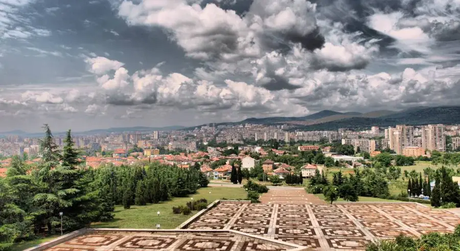
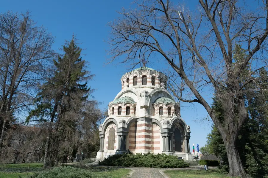
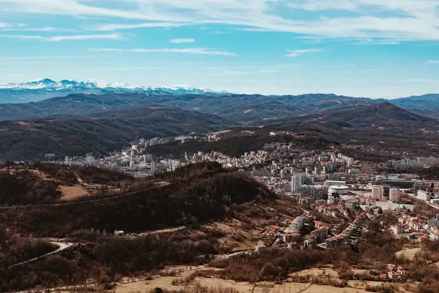
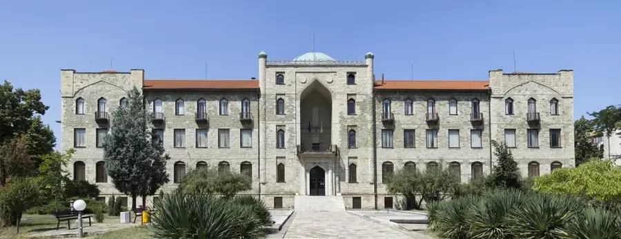
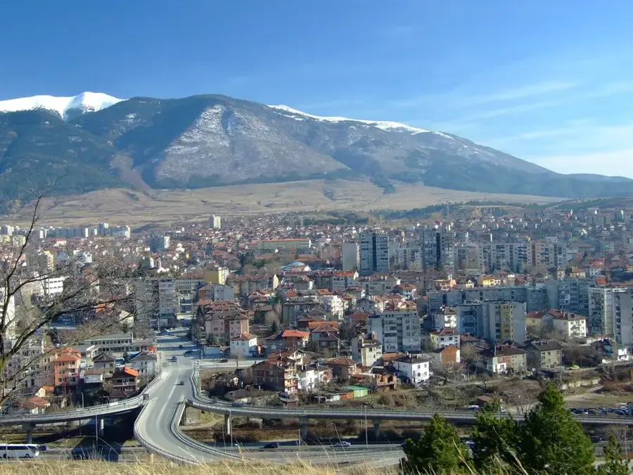
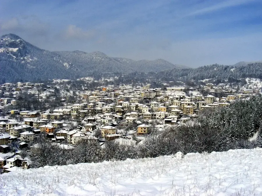
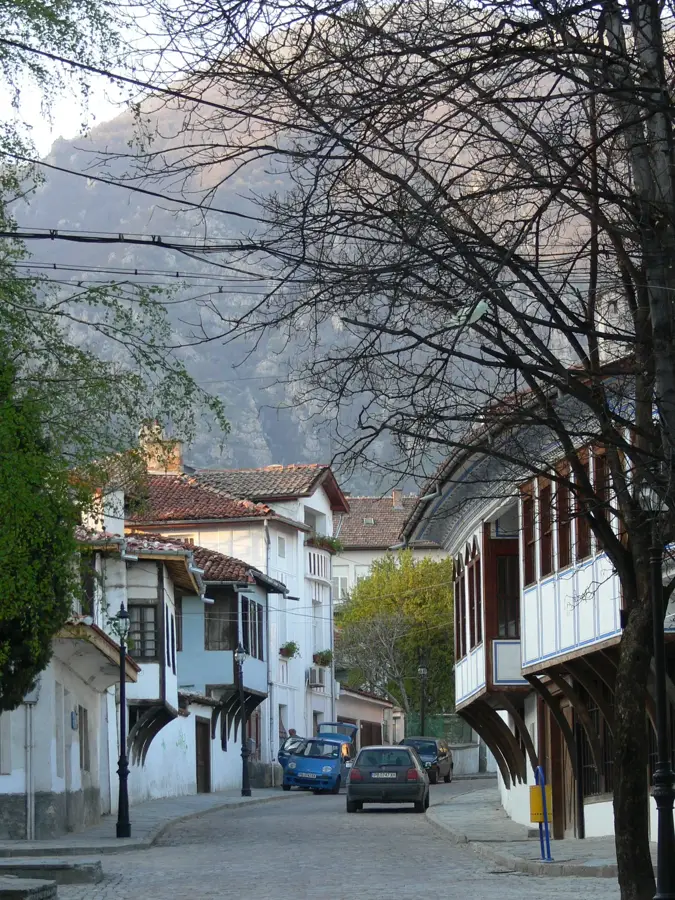
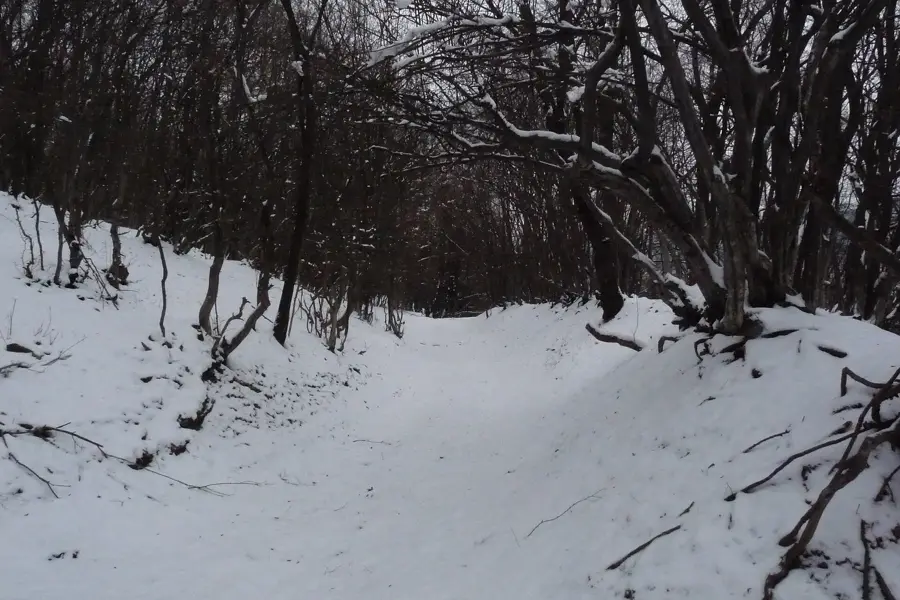
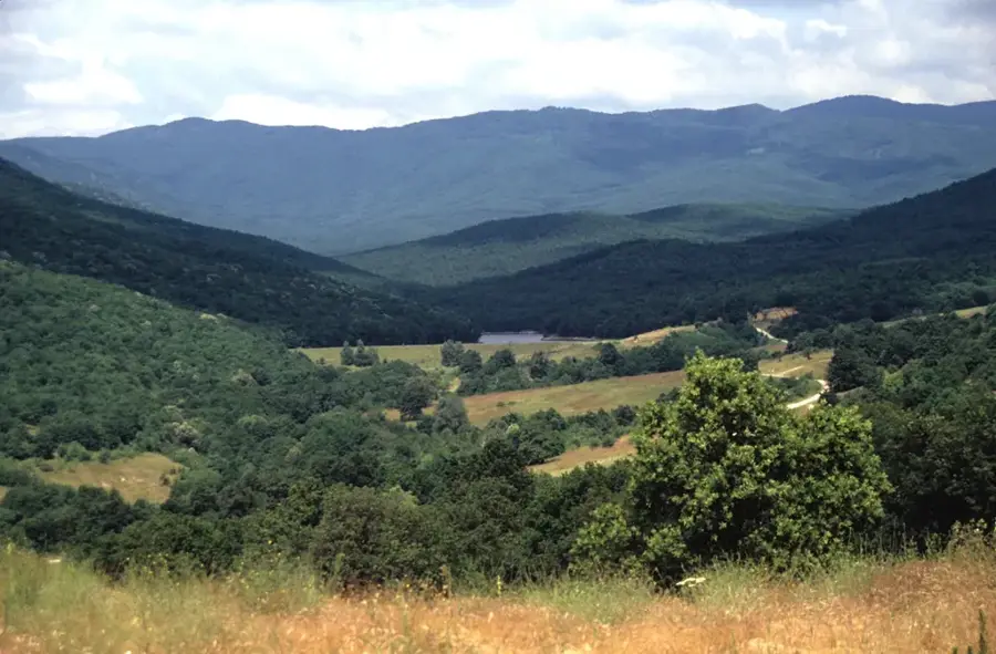
The Sredna Gora Mountains run parallel to the main Balkan range in central Bulgaria, separated from it by the famous Valley of the Roses. Geologically, the range is composed of ancient crystalline rocks such as granite and gneiss, supplemented by volcanic deposits in its eastern reaches. The peaks are generally gentler and more rounded than those of the Balkans, with Mount Bogdan standing as the highest point at 1,604 meters. Historically, Sredna Gora was a focal point of the Bulgarian National Revival, notably during the April Uprising of 1876 in towns like Koprivshtitsa. The slopes are blanketed with dense beech and oak forests, providing a sanctuary for diverse wildlife species. The mountains are exceptionally rich in mineral springs, which have fostered the development of premier spa resorts such as Hisarya and Pavel Banya. The northern foothills are world-renowned for the large-scale cultivation of oil-bearing roses and lavender. Tectonically, the range belongs to the Srednogorie zone, a complex geological unit shaped by intense magmatic activity during the Late Cretaceous. Today, the region is a premier destination for both cultural heritage and wellness tourism.
- Location: Bulgaria
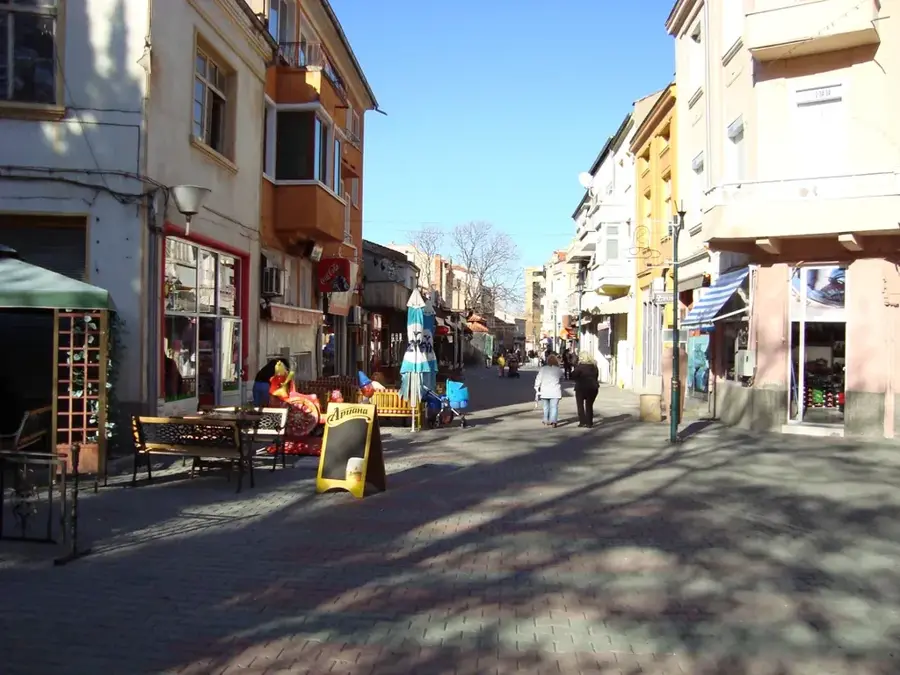
- Nearby: Hisarya (20 km)
Best time to visit & climate
The most pleasant time to visit is Jun–Aug.
| Jan | Feb | Mar | Apr | May | Jun | Jul | Aug | Sep | Oct | Nov | Dec | |
|---|---|---|---|---|---|---|---|---|---|---|---|---|
| Avg °C | -2 | 0 | 5 | 10 | 15 | 19 | 22 | 22 | 17 | 11 | 6 | 0 |
| Rain mm | 52 | 46 | 56 | 54 | 86 | 89 | 77 | 54 | 55 | 54 | 39 | 53 |
📋 Practical info
Geography
Facts
- Mount Bogdan stands at an elevation of 1,604 meters.
- The town of Hisarya features 22 distinct mineral springs.
- Koprivshtitsa is preserved as an open-air museum of Bulgarian architecture.
- The mountain range stretches for approximately 285 kilometers.
- Gold and copper were actively mined in these mountains during antiquity.
- The southern slopes drop steeply toward the Upper Thracian Plain.
Explore nearby
Notable places around
Route planner — Car & Motorhome
Where do you start? We build the route here, with stops and country notes along the way.
© OpenStreetMap contributors · OpenRouteService
Sights nearby
Frequently asked questions
What is Sredna Gora?
What historical significance does the region have?
Are there Thracian treasures?
What are the highest peaks?
Are the mountains suitable for hiking?
Sredna Gora Mountains: where is it located?
Sredna Gora Mountains: when is the best time to visit?
Sredna Gora Mountains: why is it worth visiting?

Nearby cities