Plizio Visual Lab
Arda River
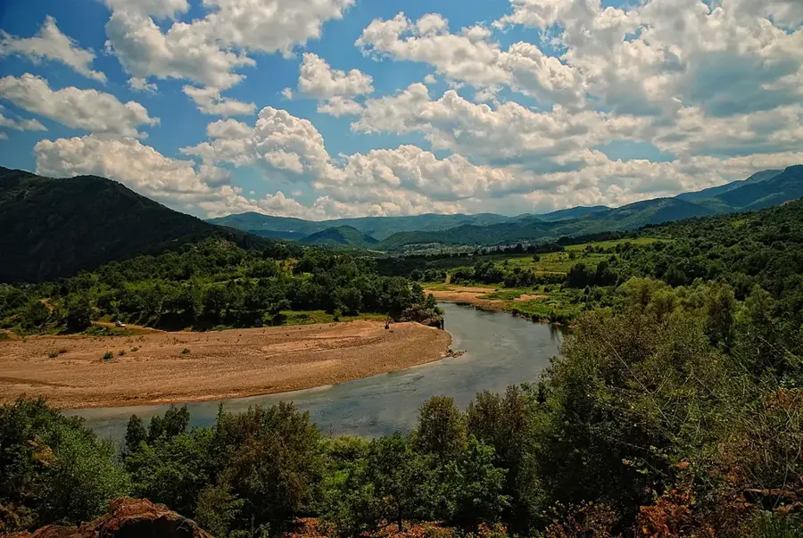
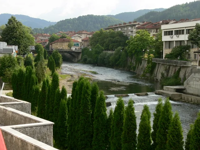
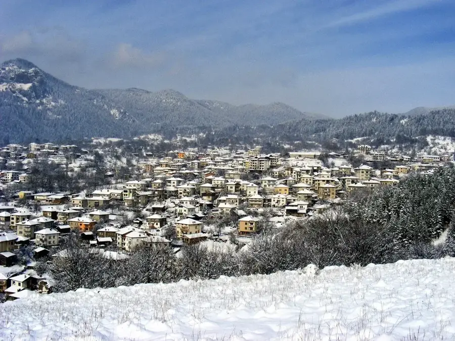
The Arda River is the longest river in the Rhodope Mountains, spanning a total length of 290 kilometers, with 241 kilometers flowing through Bulgarian territory. Originating near the village of Smilyan at an altitude of 1,455 meters, it flows eastward into Greece and Turkey, eventually joining the Maritsa River near Edirne. The river is characterized by its dramatic gorges and a series of three large reservoirs, Kardzhali, Studen Kladenets, and Ivaylovgrad, which are essential for hydroelectric power and irrigation. Historical landmarks along its path include the famous 16th-century Devil's Bridge (Dyavolski most) near Ardino, a testament to the region's Ottoman-era architecture. Geologically, the Arda has carved spectacular meanders through the Eastern Rhodopes, creating unique landscapes that are now protected for their ecological value. The river's flow is subject to significant seasonal variations, with peak water levels occurring during the winter and early spring snowmelt.
- Location: Bulgaria
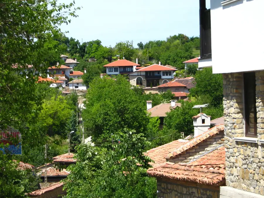
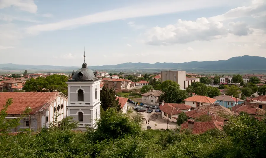
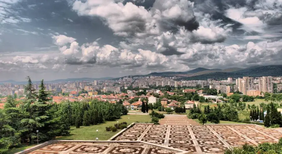
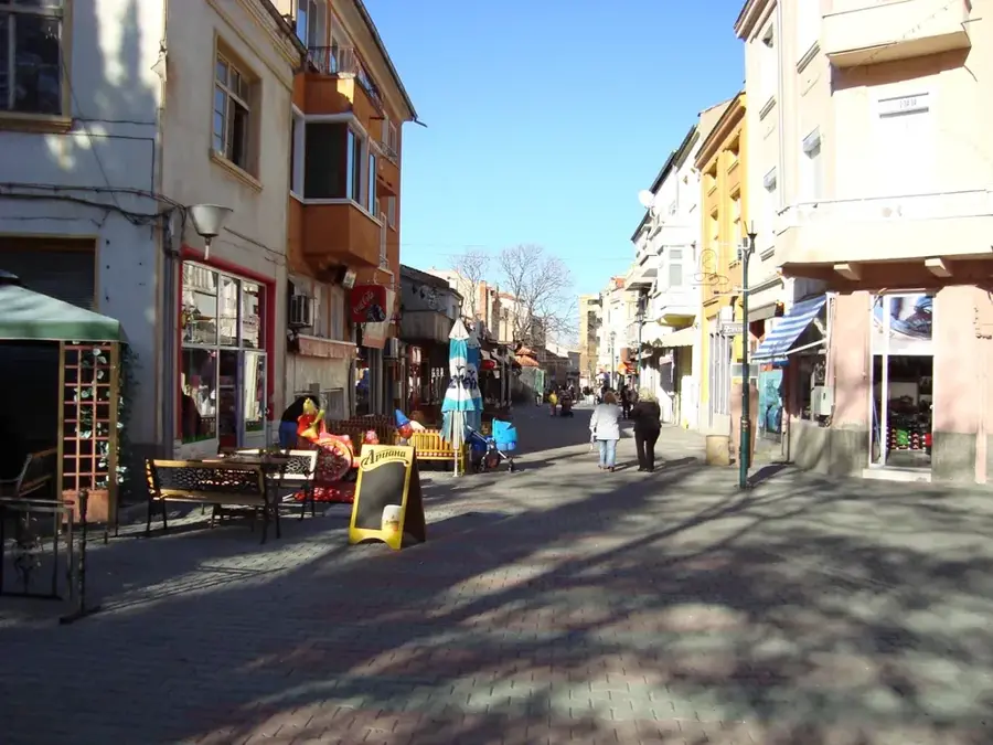
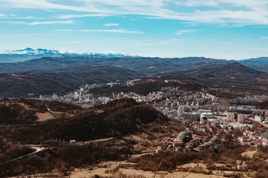
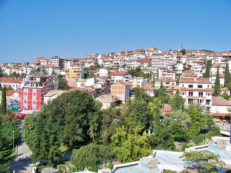
- Nearby: Kardzhali (6 km)
Best time to visit & climate
The most pleasant time to visit is Jun, Aug, Sep.
| Jan | Feb | Mar | Apr | May | Jun | Jul | Aug | Sep | Oct | Nov | Dec | |
|---|---|---|---|---|---|---|---|---|---|---|---|---|
| Avg °C | 1 | 3 | 6 | 11 | 16 | 21 | 25 | 25 | 19 | 13 | 8 | 3 |
| Rain mm | 71 | 55 | 56 | 41 | 56 | 54 | 38 | 21 | 47 | 61 | 59 | 72 |
📋 Practical info
Geography
Facts
- The total length of the Arda River is 290 kilometers.
- Approximately 241 kilometers of the river flow within Bulgaria.
- The river originates at an altitude of 1,455 meters above sea level.
- It features a system of three major hydroelectric reservoirs.
- The medieval Devil's Bridge was constructed in 1515.
- The river merges with the Maritsa River near the city of Edirne.
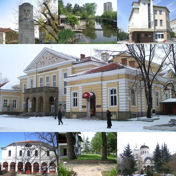
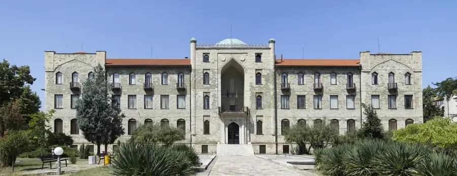
Explore nearby
Notable places around
Route planner — Car & Motorhome
Where do you start? We build the route here, with stops and country notes along the way.
© OpenStreetMap contributors · OpenRouteService
Sights in the town Arda River (1)
Sights nearby
Frequently asked questions
What is the 'Devil's Bridge' (Dyavolski most)?
Are there large reservoirs on the Arda?
Where can the famous river meanders be found?
Can you pan for gold in the river?
Is boating allowed on the reservoirs?
Arda River: where is it located?
Arda River: when is the best time to visit?
Arda River: why is it worth visiting?

Nearby cities


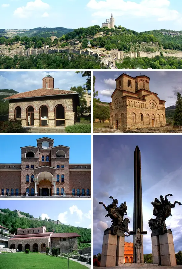
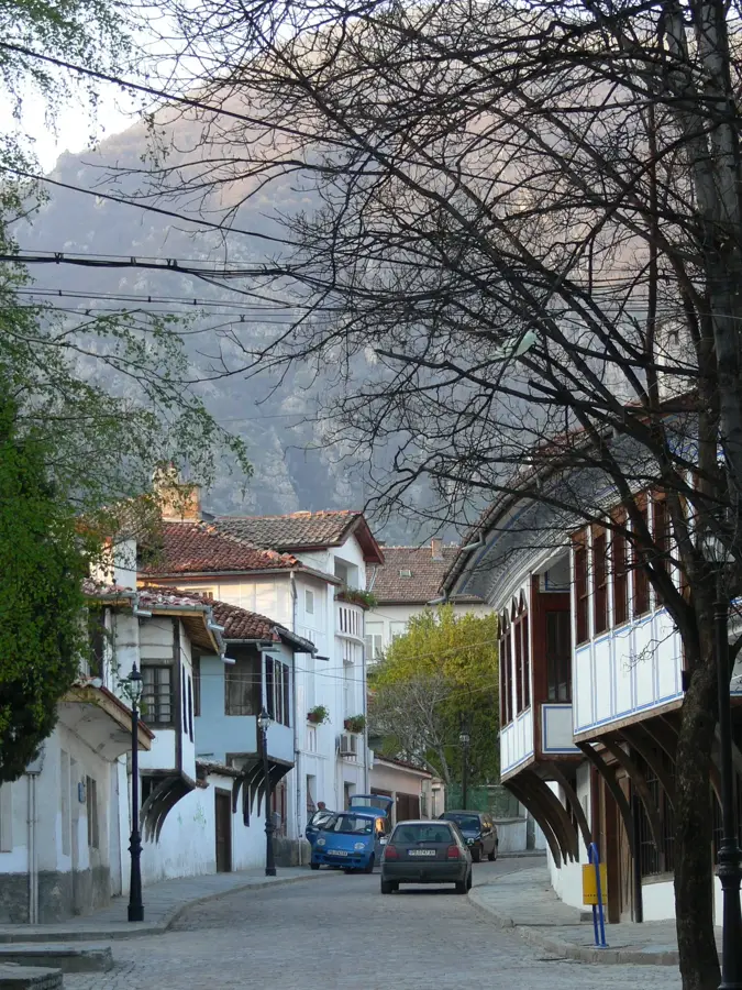
History & landmarks