Plizio Visual Lab
Lumapas
ℹ️Practical info — Lumapas
▾
🌤 Weather — 5 days
📍 Nearby
Sights nearby
💡 Tips
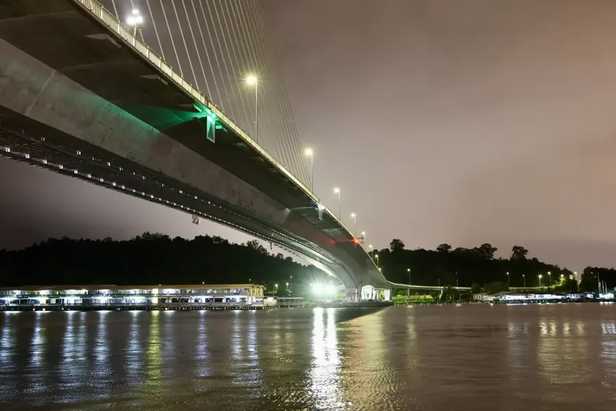
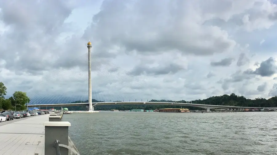
- Drive here via the majestic RIPAS Bridge; the route provides spectacular views over Kampong Ayer.
- The terrain is very hilly, so be cautious of winding roads when driving or cycling.
- Taxis are rarely seen here, so arrange your return trip in advance if you are not driving yourself.
- Bring plenty of drinking water when exploring the rural and hilly areas.
🍽 Food
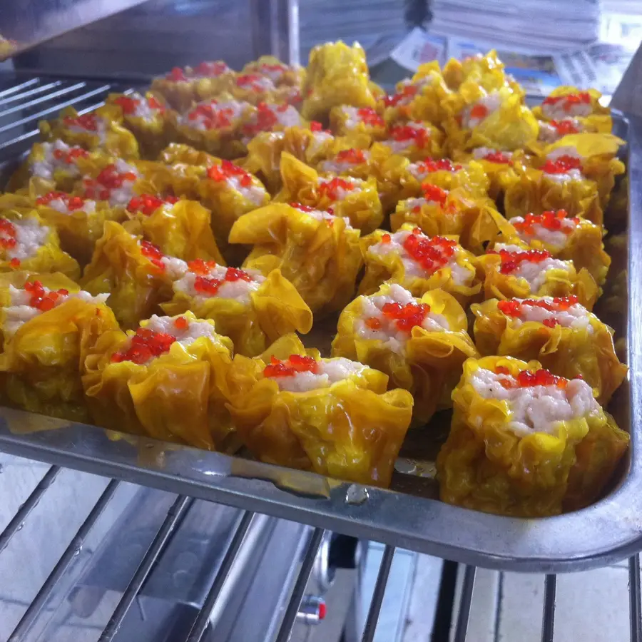
Try fresh Ikan Bakar (grilled fish), often prepared at small local food stalls near the water.
Look out for small 'warungs' (village eateries) serving simple and authentic rice dishes.
Fried bananas, a wonderfully sweet and warm snack sold at small roadside stands.
🛍 Shopping · 🧘 Quiet spots
Buy fresh produce directly from farmers who occasionally set up small stalls at village entrances.
Shopping is limited to small mom-and-pop stores; support the local community by buying your snacks here.
A popular hill convenient for an early morning hike, offering panoramic views over the surrounding area.
The quiet roads along the water are excellent for a late-afternoon stroll.
Water temperature…
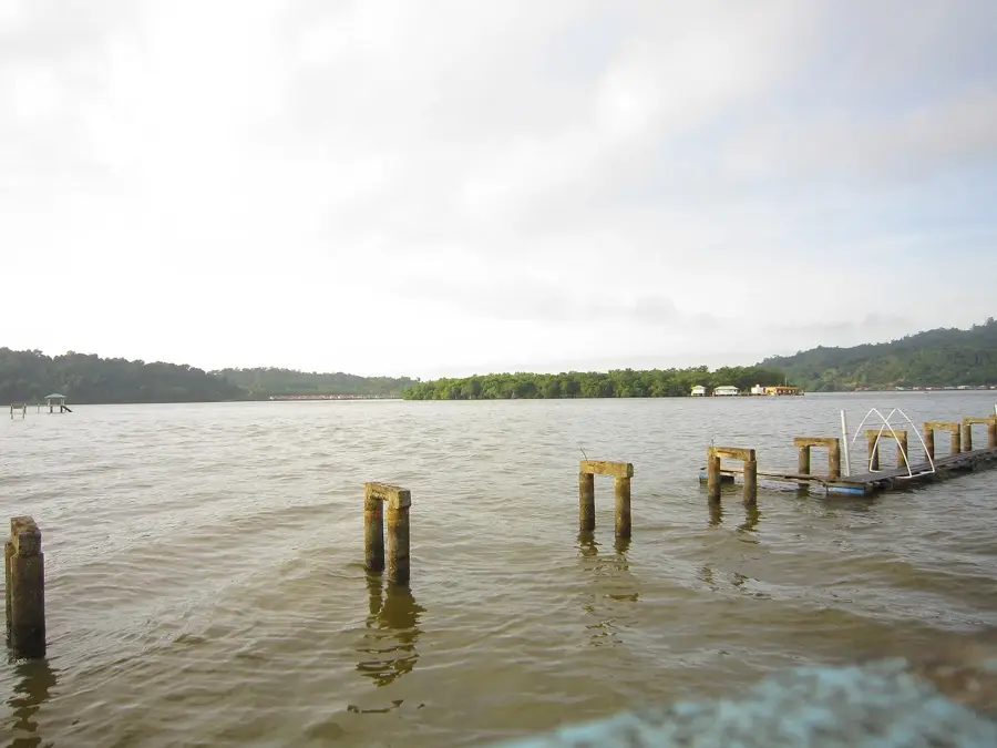
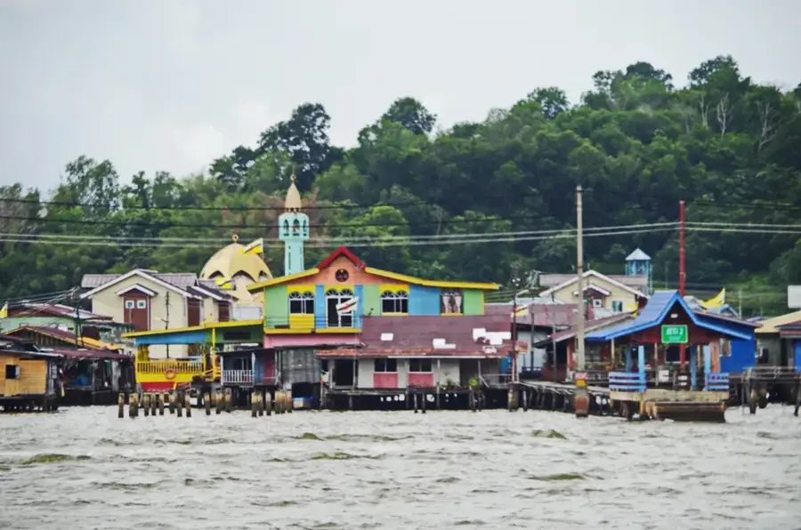
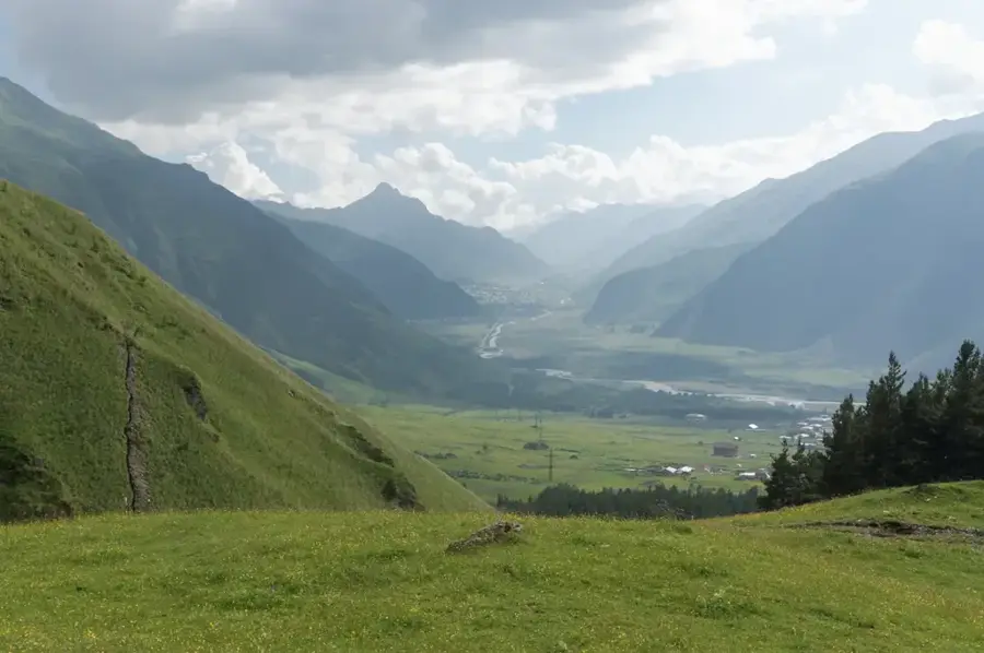
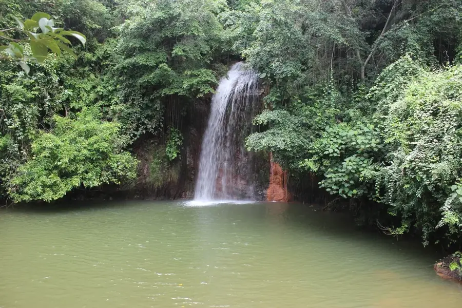
Lumapas is a mukim (sub-district) in the southern part of the Brunei-Muara District, bordering the Malaysian state of Sarawak. Unlike the urban centers to the north, Lumapas retains a largely rural character, with villages tucked away among rolling hills and lush vegetation. The area is known for its agricultural activities, including the cultivation of fruits like durian and rice paddies. The Jong Batu, a distinctive rock outcrop in the Brunei River, is a famous geological formation and local landmark associated with a legend about a disobedient son. Lumapas is also home to the Wasai Kandal Recreational Park, popular among locals for its hiking trails and waterfalls. The area provides a glimpse into the more traditional, rural way of life in Brunei, away from the hustle and bustle of the capital, despite being only a short drive away.
- Location: Brunei
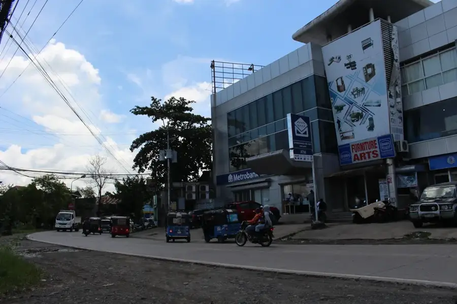
- Nearby: Gadong (4 km)
- Population: ~8.058 (2024)
Best time to visit & climate
The most pleasant time to visit is Feb–Apr.
| Jan | Feb | Mar | Apr | May | Jun | Jul | Aug | Sep | Oct | Nov | Dec | |
|---|---|---|---|---|---|---|---|---|---|---|---|---|
| Avg °C | 27 | 27 | 27 | 28 | 28 | 28 | 28 | 28 | 28 | 27 | 27 | 27 |
| Rain mm | 285 | 143 | 155 | 212 | 241 | 258 | 249 | 229 | 253 | 312 | 321 | 333 |
Geography
Facts
- Lumapas is administratively organized as Mukim Lumapas.
- Bukit Lumapas is a well-known hill frequented by local hikers.
- The area is a significant contributor to Brunei's local produce market.
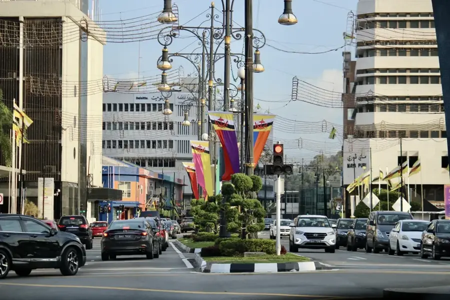
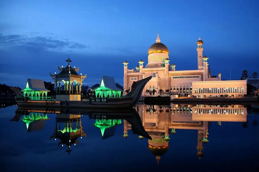
- The RIPAS Bridge provides a high-speed link to Bandar Seri Begawan.
- Lumapas shares a land border with the Malaysian state of Sarawak.
- The community maintains a strong traditional 'kampong' (village) identity.
Explore nearby
Notable places around
Route planner — Car & Motorhome
Where do you start? We build the route here, with stops and country notes along the way.
© OpenStreetMap contributors · OpenRouteService
Sights in the town Lumapas (1)
Frequently asked questions
How is Lumapas situated?
Are there mountains there?
How do you get there from the capital?
Is it rural?
Are there local markets?
Lumapas: where is it located?
Lumapas: when is the best time to visit?
Lumapas: why is it worth visiting?

Nearby cities

History & landmarks

More places