Plizio Visual Lab
Subok Ridge Macaque Trail
Weather…
Water temperature…
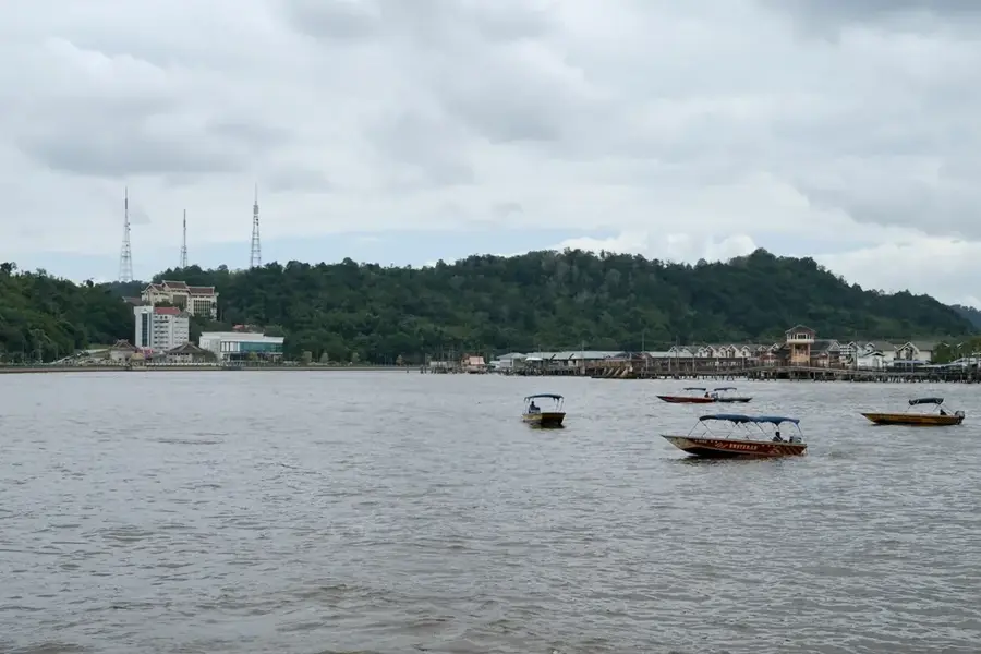
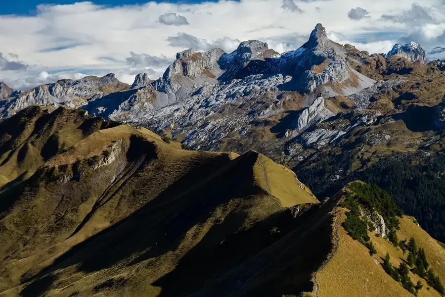
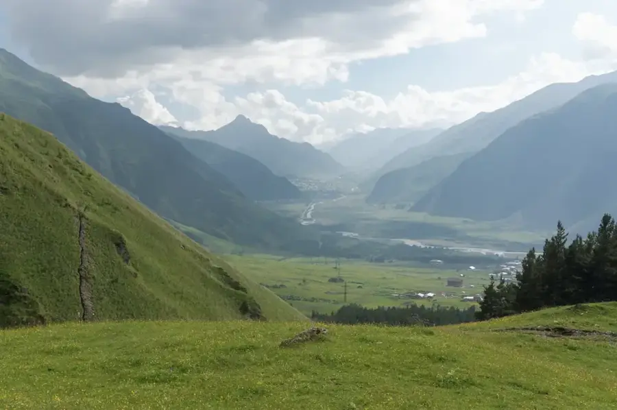
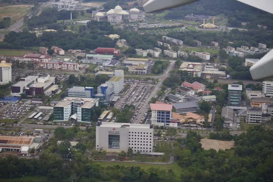
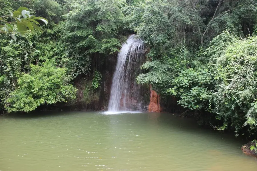
The Subok Ridge Macaque Trail is a natural hiking path in the Subok hills, right on the edge of the capital Bandar Seri Begawan. The trail is part of the Tasek Lama recreational park system and leads across the ridges that overlook the city. As the name suggests, the path is known for its high density of long-tailed macaques (Macaca fascicularis), which can often be seen in the trees along the way or on the handrails. The hike features spectacular panoramic views of the water village Kampong Ayer, the Istana Nurul Iman palace, and the modern city center. The vegetation consists of dense secondary rainforest, which hosts a variety of tropical plants. The path is popular among locals for morning exercise but requires good fitness due to its steep sections. It is a place where Brunei's urban development directly meets wild nature.
- Location: Brunei
- Nearby: Lumapas (4 km)
Best time to visit & climate
The most pleasant time to visit is Feb–Apr.
| Jan | Feb | Mar | Apr | May | Jun | Jul | Aug | Sep | Oct | Nov | Dec | |
|---|---|---|---|---|---|---|---|---|---|---|---|---|
| Avg °C | 27 | 27 | 27 | 28 | 28 | 28 | 28 | 28 | 28 | 27 | 27 | 27 |
| Rain mm | 285 | 143 | 155 | 212 | 241 | 258 | 249 | 229 | 253 | 312 | 321 | 333 |
📋 Practical info
Geography
Facts
- The trail connects Tasek Lama Park with the residential area of Subok.
- Long-tailed macaques here are very accustomed to humans but should not be fed.
- The highest elevation of the path offers the best view of the water village.
- The trail features several hundred steps at its steepest points.
- Strategically placed viewing platforms are located along the ridge.
- The route is about 2.5 to 3 kilometers long and takes about 1 to 1.5 hours.
Explore nearby
Notable places around
Route planner — Car & Motorhome
Where do you start? We build the route here, with stops and country notes along the way.
© OpenStreetMap contributors · OpenRouteService
Sights in the town Subok Ridge Macaque Trail (1)
Sights nearby
Frequently asked questions
How many macaques can you see there?
Is the trail difficult?
Should you feed the macaques?
Does the trail offer good views?
How long does the trail take?
Subok Ridge Macaque Trail: where is it located?
Subok Ridge Macaque Trail: when is the best time to visit?
Subok Ridge Macaque Trail: why is it worth visiting?

Nearby cities


History & landmarks


More places