Plizio Visual Lab

Cerro Tunari

Plizio editorial teamData Sources
Mountain
—°7
Cerro Tunari (Bolivia)

Weather…

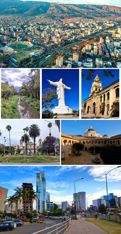
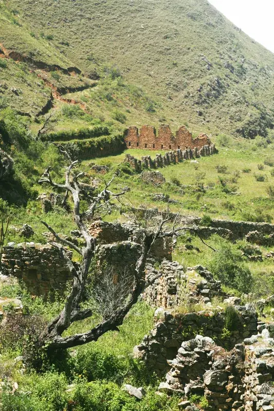
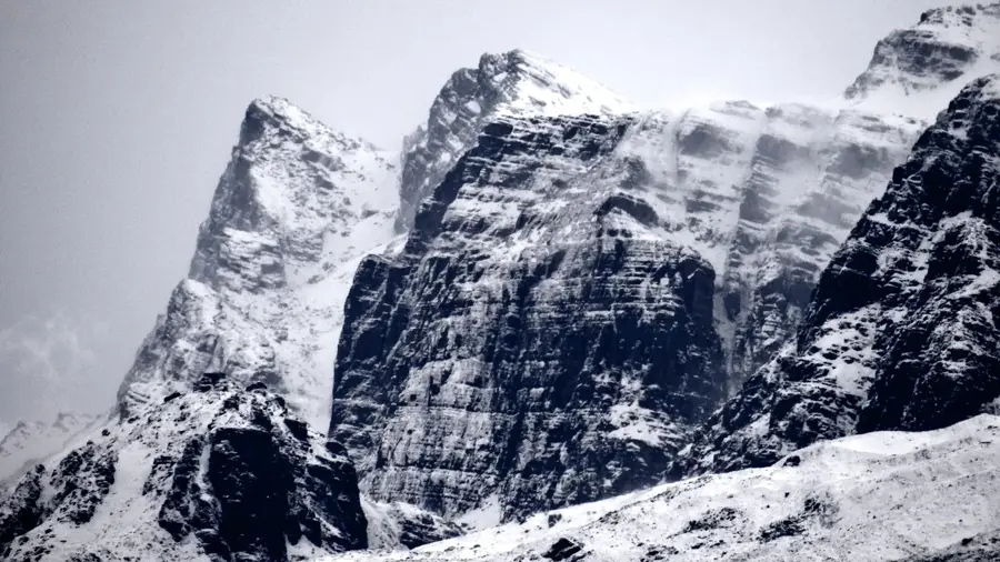
Cerro Tunari is the highest peak in central Bolivia, reaching an elevation of 5,035 meters. Located just north of the city of Cochabamba, it serves as the centerpiece of the Tunari National Park and the wider Cordillera del Tunari range. The mountain is primarily composed of Paleozoic sedimentary rocks and plays a vital hydrological role, as its runoff provides essential water for irrigation and consumption in the fertile Cochabamba valley. The slopes of Cerro Tunari are home to unique high-altitude ecosystems, including rare Polylepis forests, which grow at elevations where most other trees cannot survive. For hikers, the mountain is a popular goal because it gives a non-technical route to exceed 5,000 meters in altitude. The summit provides panoramic views of the entire valley and, on very clear days, distant peaks of the Cordillera Real. Cultural and religious festivals are often tied to the mountain, reflecting its importance to the local Quechua-speaking population.

Best time to visit & climate

The most pleasant time to visit is Sep–Nov.

JanFebMarAprMayJunJulAugSepOctNovDec
Avg °C141414131211111213151615
Rain mm1049755206445812253686

📋 Practical info

🧭
Getting there
The peak is accessed primarily from the city of Cochabamba, with the standard approach starting in the nearby town of Quillacollo. Four-wheel-drive vehicles are generally hired to navigate the rough track to the high-altitude trailhead.
📅
Best season
The optimal window for hiking is the dry winter season from May to September, offering the highest chances of clear views over the Cochabamba valley and minimal precipitation on the trails.
⛰️
Terrain & paths
The trek involves navigating steep, rocky paths and scree slopes that become increasingly barren and exposed at higher elevations. The final ascent requires a physically demanding scramble without technical climbing.
🎒
What to bring
Hikers need robust trekking boots, multiple clothing layers for extreme temperature shifts, windproof jackets, plenty of water, high-energy snacks, and adequate sun protection for the intense high-altitude rays.
🅿️
Parking
Private vehicles can usually be parked at the lower trailheads or in Cochabamba, as reaching the uppermost access points requires high-clearance 4x4 transport arranged with local guides or specialized agencies.
⚠️
Safety
Rapid altitude gain from the valley floor presents a significant risk of acute mountain sickness; climbers should acclimatize in Cochabamba beforehand. Weather can change unexpectedly, bringing sudden drops in temperature.
⏱️
Time needed
The actual hike to the summit and back from the high-altitude trailhead takes around 5 to 7 hours, making it a full-day expedition when factoring in the long drive from Cochabamba.

Geography

Coordinates
-17.28800, -66.38800

Facts

  • Cerro Tunari stands at an elevation of 5,035 meters (16,519 feet).
  • The mountain is the highest point of the Cordillera Oriental in central Bolivia.
  • It was officially declared part of a National Park in 1962.
  • The climb usually begins at an altitude of approximately 4,200 meters.
  • The mountain is a critical watershed for the agricultural region below.
  • Indigenous communities consider the peak a sacred 'Apu' or spirit.

Explore nearby

Notable places around

Route planner — Car & Motorhome

Where do you start? We build the route here, with stops and country notes along the way.

Vehicle
Only stops with (optional):

© OpenStreetMap contributors · OpenRouteService

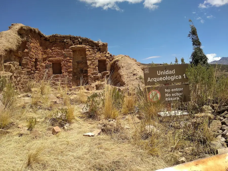
Sights in the town Cerro Tunari (7)

Yana Qaqa🌿 nature

Yana Qaqa is a globally known mountain peak dominating the landscape of Cerro Tunari.

Qiñwani🌿 nature

Qiñwani is a prominent and widely recognized mountain peak in the Cerro Tunari nature area.

Phullu Punchu🌿 nature

Phullu Punchu stands as a notable mountain peak recognized for its elevation in the Cerro Tunari range.

Tawa Cruz🏺 historical

Tawa Cruz is a commemorative monument erected in the mountainous landscape of Cerro Tunari.

Molino 1📍 landmark

Molino 1 is a historic local mill attraction set within the natural landscapes of the Tunari area.

Cascada Pairumani📍 landmark

Cascada Pairumani is a pretty natural waterfall located in the wooded Pairumani landscape.

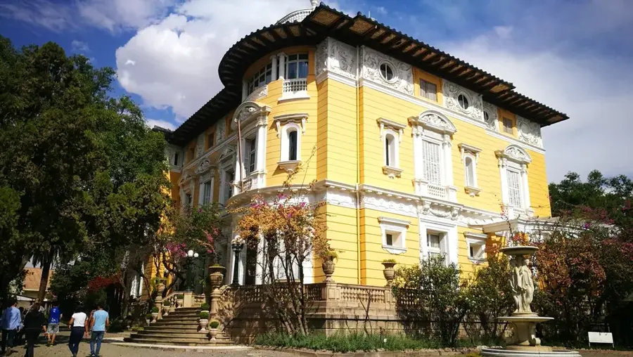
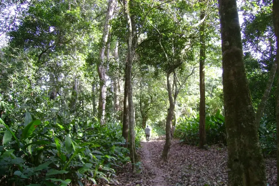
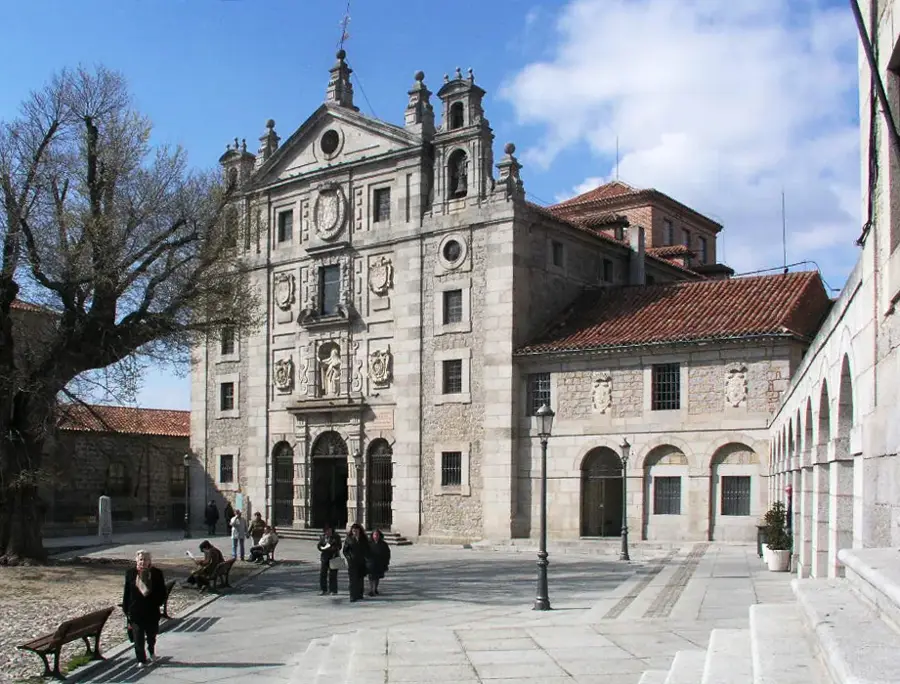
Parque Ecoturístico Pairumani📍 landmark

Parque Ecoturístico Pairumani is an ecotourism park offering shaded nature trails at the foot of the Tunari mountain range.

🕒 Tu-Su; PH Off

Sights nearby

Frequently asked questions

Near which city is Cerro Tunari located?
It is the highest mountain near Cochabamba.
What is the height of Cerro Tunari?
It reaches a height of 5,035 meters.
Is it possible to climb it in one day?
Yes, day tours are often offered from Cochabamba.
What should you bring for the hike?
Warm clothing, plenty of water, and sun protection are essential.
Are there wild animals there?
With luck, you might see condors or viscachas.
Cerro Tunari: where is it located?
Cerro Tunari is located in Bolivia.
Cerro Tunari: what is there to see?
Highlights include Yana Qaqa, Qiñwani, Phullu Punchu.
Cerro Tunari: when is the best time to visit?
The most pleasant time to visit is Sep, Nov.
Cerro Tunari: why is it worth visiting?
Cerro Tunari is the highest peak in central Bolivia, reaching an elevation of 5,035 meters.
View on map → The Top 50 Attractions → OpenStreetMap →
South America
Explore with Plizio Discover more places in South America
More places in Bolivia →

History & landmarks

More places