Plizio Visual Lab
Yser Valley
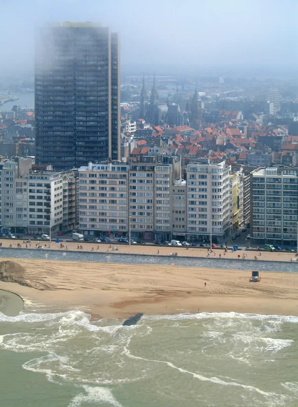
The Yser Valley is a low-lying alluvial region in West Flanders, shaped by the only river in Belgium that discharges directly into the North Sea. The landscape is characterized by its exceptionally flat relief, often situated just a few meters above or even below sea level, necessitating a complex network of dikes and canals for drainage management. Historically, the valley gained international renown during the Battle of the Yser in 1914, when the intentional flooding of the polders successfully halted the German military advance. This man-made water barrier transformed the valley into a static, marshy frontline for the duration of the war. Today, the area is a vital nature reserve, serving as a key sanctuary and resting point for numerous migratory bird species. The fertile clay soils support intensive agriculture, while the river's estuary at Nieuwpoort forms a crucial ecological link to the North Sea. Visitors value the expansive, open scenery, which is defined by historic windmills and traditional Flemish villages.
- Location: Belgium
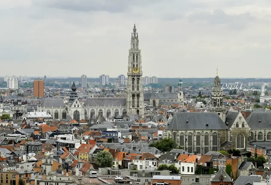
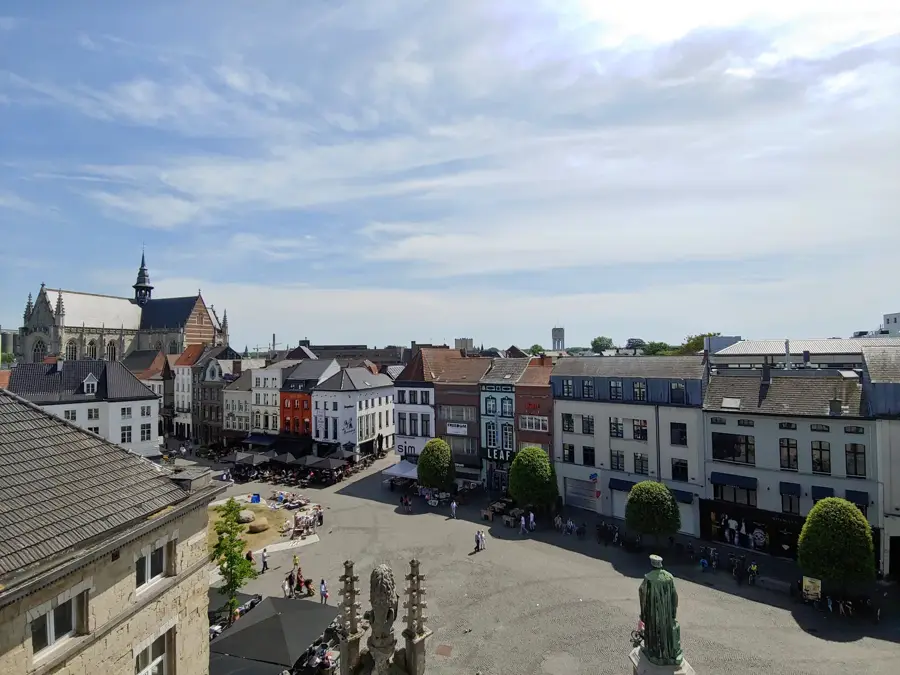
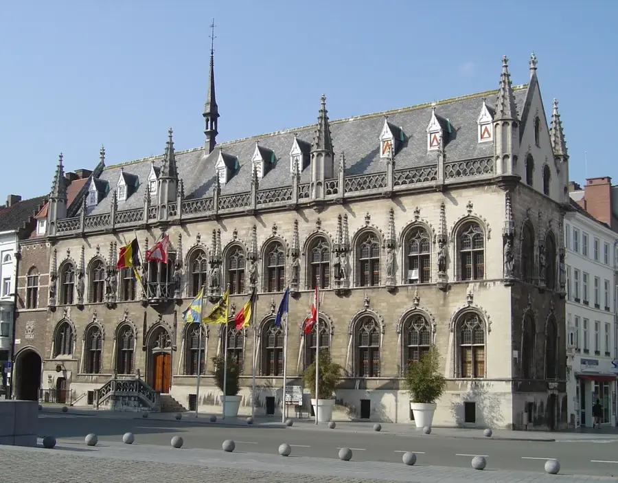
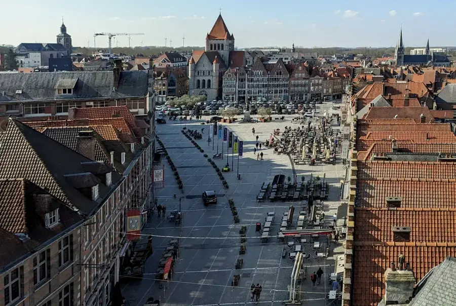
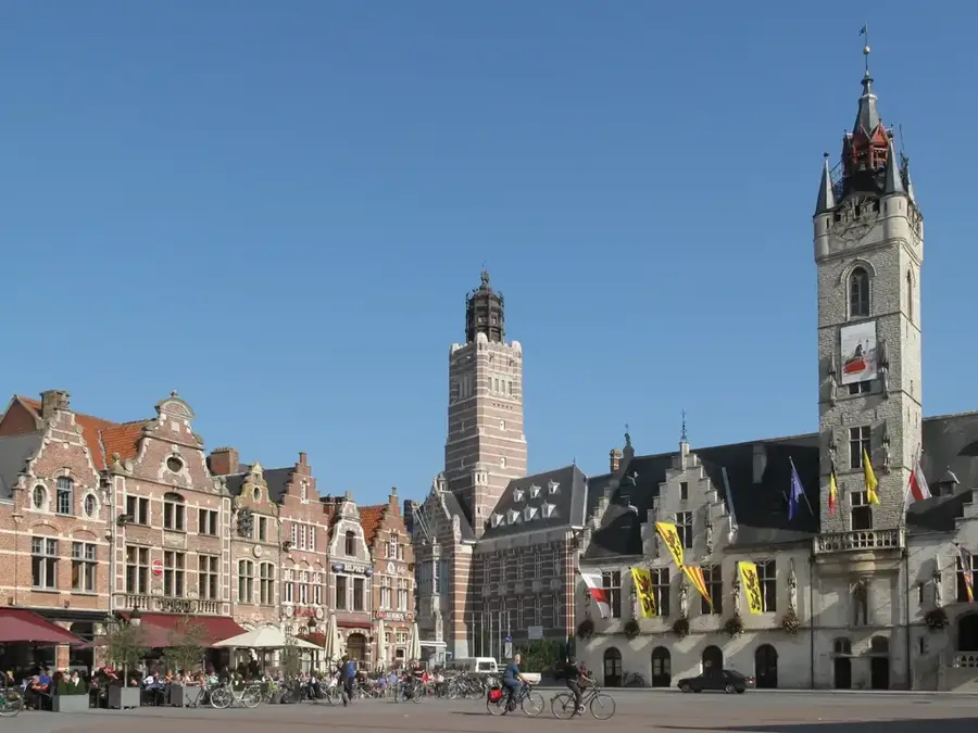
- Top sights: Sint-Pieterskerk · Sint-Jan-Baptistkerk · Fot'oeil
- Nearby: Diksmuide (6 km)
Best time to visit & climate
The most pleasant time to visit is Jun–Aug.
| Jan | Feb | Mar | Apr | May | Jun | Jul | Aug | Sep | Oct | Nov | Dec | |
|---|---|---|---|---|---|---|---|---|---|---|---|---|
| Avg °C | 3 | 4 | 6 | 9 | 13 | 16 | 18 | 18 | 15 | 12 | 7 | 4 |
| Rain mm | 67 | 59 | 54 | 39 | 58 | 62 | 74 | 80 | 58 | 71 | 77 | 79 |
📋 Practical info
Geography
Facts
- The Yser River flows for 78 kilometers, originating in northern France.
- The river's gradient in its Belgian section is less than 10 centimeters per kilometer.
- The strategic flooding in October 1914 covered an area approximately 15 kilometers long.
- The Ganzepoot lock complex in Nieuwpoort regulates the water levels throughout the valley.
- Portions of the valley floor sit only 2 to 4 meters above the mean sea level.
- The IJzermonding Nature Reserve covers 130 hectares of ecologically significant salt marshes.
Explore nearby
Notable places around
Route planner — Car & Motorhome
Where do you start? We build the route here, with stops and country notes along the way.
© OpenStreetMap contributors · OpenRouteService
Sights in the town Yser Valley (5)
Sint-Jacobskerk
Church in Sint-Jacobs-Kapelle, Belgium, dedicated to Saint James.
Sights nearby
Frequently asked questions
Why is the Yser Valley so important historically?
Which monument is particularly famous in the Yser Valley?
Can you go on bike tours in the valley?
What birds can be observed here?
What is the terrain like for hiking?
Yser Valley: where is it located?
Yser Valley: what is there to see?
Yser Valley: when is the best time to visit?
Yser Valley: why is it worth visiting?

Nearby cities