Plizio Visual Lab
Mont Rouge (Rodeberg)
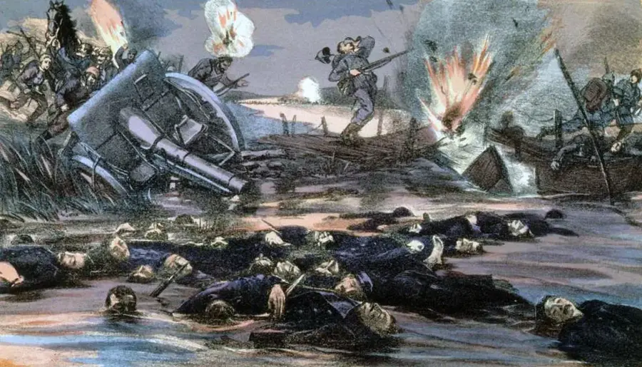
Mont Rouge, or Rodeberg in Flemish, is a prominent 138-meter hill in the West Flemish hills, located near the village of Westouter. It derives its name from the reddish tint of its soil, caused by high iron concentrations in the Diestian sandstone formations. The hill is a geological relic of an ancient coastline that stood far above the current sea level millions of years ago. During World War I, the Rodeberg was a critical observation point near the Ypres Salient, witnessing intense military activity. Today, it is renowned for the Hellegatbos (Hell's Hole Wood), a deep-cleft forest area on its northern slope known for its steep ravines and spring blooms of wood anemones. In cycling, the Rodeberg is a frequent feature in the Flemish spring classics, offering challenging gradients for professional riders. A unique tourist attraction is the Cordoba chairlift, which has connected Rodeberg to the adjacent Zwarteberg across a scenic valley since its opening in the late 1950s.
- Location: Belgium
- Top sights: Sulferberg · Sulferbergbos · De Echelpoel
- Nearby: Poperinge (7 km)
Best time to visit & climate
The most pleasant time to visit is Jun–Aug.
| Jan | Feb | Mar | Apr | May | Jun | Jul | Aug | Sep | Oct | Nov | Dec | |
|---|---|---|---|---|---|---|---|---|---|---|---|---|
| Avg °C | 3 | 4 | 6 | 9 | 13 | 16 | 18 | 18 | 15 | 12 | 7 | 4 |
| Rain mm | 67 | 59 | 54 | 39 | 58 | 62 | 74 | 80 | 58 | 71 | 77 | 79 |
📋 Practical info
Geography
Facts
- Elevation: 138 meters
- Name origin: Reddish iron-rich soil
- Nature: Home to the Hellegatbos forest
- Cycling: Frequent climb in the Gent-Wevelgem classic
- Attraction: Cordoba chairlift connects to Zwarteberg
- Location: Near Westouter village, West Flanders
Explore nearby
Notable places around
Route planner — Car & Motorhome
Where do you start? We build the route here, with stops and country notes along the way.
© OpenStreetMap contributors · OpenRouteService
Sights in the town Mont Rouge (Rodeberg) (10)
Hellegatbos
Hellegatbos is a natural landscape in Loker-Westouter, Belgium.
Rodeberg
Rodeberg is a mountain in Belgium, namesake of the settlement.
Lijstermolen
Lijstermolen is a windmill in the Westouter district.
Baneberg
Baneberg is a hill in Belgium, part of the Mont Rouge area.
Sint-Godelievekapel
Sint-Godelievekapel is a chapel in the municipality of Rodeberg.
Sint-Eligiuskerk
Sint-Eligiuskerk is a church building near Rodeberg.
Sights nearby
Frequently asked questions
Why is the hill called Mont Rouge?
Is Mont Rouge good for cyclists?
What plants can be found in the forest?
Are there places to eat on the hill?
How steep is the climb?
Mont Rouge (Rodeberg): where is it located?
Mont Rouge (Rodeberg): what is there to see?
Mont Rouge (Rodeberg): when is the best time to visit?
Mont Rouge (Rodeberg): why is it worth visiting?

Nearby cities