Plizio Visual Lab
Mont Noir (Zwarteberg)
Plizio editorial teamData Sources
peak
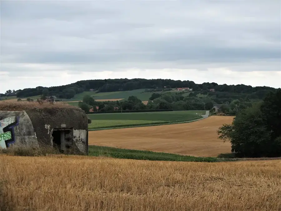
Mont Noir, known in Flemish as Zwarteberg, is a 152-meter-high hill located in the West Flemish Heuvelland, situated directly on the border with France. Its name, meaning 'Black Mountain,' originates from the dense patches of woodland that once covered the summit, giving it a dark silhouette. Geologically, the hill is an outlier consisting of iron-rich Diestian sands that have resisted erosion more effectively than the surrounding plains. Historically, its position on the frontier made it a notorious hub for smuggling activities during the 19th and early 20th centuries. In modern times, Mont Noir is a celebrated landmark in professional cycling, featuring as a climb in the Gent-Wevelgem classic. The area is also known for its cable car, built in 1958, which provides transport between Zwarteberg and the nearby Rodeberg. Visitors are drawn to its panoramic views that stretch across the French Flanders plains and the Belgian polders on clear days.
- Location: Belgium
- Top sights: Natuurreservaat Broekelzen · De Broekelzen · Vidaigneberg
- Nearby: Poperinge (8 km)
Best time to visit & climate
The most pleasant time to visit is Jun–Aug.
| Jan | Feb | Mar | Apr | May | Jun | Jul | Aug | Sep | Oct | Nov | Dec | |
|---|---|---|---|---|---|---|---|---|---|---|---|---|
| Avg °C | 4 | 5 | 6 | 9 | 13 | 16 | 18 | 18 | 15 | 12 | 8 | 5 |
| Rain mm | 65 | 56 | 51 | 38 | 55 | 58 | 69 | 74 | 57 | 74 | 80 | 79 |
📋 Practical info
Getting there
Reaching this transborder natural feature is typically accomplished by traveling through the network of minor roads that straddle the French-Belgian frontier.
Best season
Exploring the dense evergreen woodlands is particularly pleasant during the warm summer months, offering naturally shaded respites from the direct sunlight.
Terrain & paths
The paths beneath the dark pine canopy consist mainly of compacted soil and forest debris, which gently undulate as they weave around the elevated summit.
What to bring
Sturdy hiking boots are beneficial due to the sometimes uneven root systems, and packing a light jacket is wise as the shaded areas can feel significantly cooler.
Parking
Dedicated parking spots are commonly found near the border-crossing areas or in the adjacent hamlets that serve as popular starting points for local walks.
Safety
The shaded environment can retain moisture for long periods, meaning the wooded tracks might remain slippery and treacherous even days after it has rained.
Time needed
Spending around two to three hours is generally sufficient to fully immerse oneself in the forest atmosphere and thoroughly hike the main circular trails.
Geography
Facts
- Elevation: 152 meters above sea level
- Location: Heuvelland municipality, West Flanders
- Cable car: Constructed in 1958
- Cycling: Featured climb in the Gent-Wevelgem race
- Geology: Composed of iron-rich Diestian sandstones
- Border: Situated directly on the Belgian-French frontier
Explore nearby
Notable places around
Route planner — Car & Motorhome
Where do you start? We build the route here, with stops and country notes along the way.
Vehicle
Only stops with (optional):
© OpenStreetMap contributors · OpenRouteService
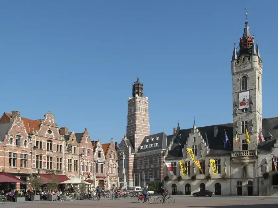
Sights in the town Mont Noir (Zwarteberg) (10)
Sint-Godelievekapel
Chapel in Westouter, dedicated to Saint Godelieve.
Mont Noir
Hill on the border between France and Belgium.
Grotte Notre-Dame de la Salette
Grotto with a statue of Mary on Mont Noir.
Lijstermolen
Windmill in Westouter, Belgium.
Baneberg
Hill in Belgium, in the Heuvelland.
Hellegatbos
Natural landscape in Loker-Westouter, Belgium.
Kosmos
Ruins of a building on Mont Noir.
Sights nearby
Frequently asked questions
Where does the name Mont Noir come from?
The name comes from the dark pine forests that cover the hill.
Is there a chairlift there?
Yes, the Cordoba chairlift connects Mont Noir with Mont Rouge.
Is the hill in Belgium or France?
The hill is located right on the border; the summit belongs to Belgium.
Can you buy wine there?
Yes, the Heuvelland region is famous for its local white wines.
Are there hiking trails in the forest?
Several marked paths lead through the 'De Bergen' park.
Mont Noir (Zwarteberg): where is it located?
Mont Noir (Zwarteberg) is located in Belgium.
Mont Noir (Zwarteberg): what is there to see?
Highlights include Natuurreservaat Broekelzen, De Broekelzen, Vidaigneberg.
Mont Noir (Zwarteberg): when is the best time to visit?
The most pleasant time to visit is Jun, Aug.
Mont Noir (Zwarteberg): why is it worth visiting?
Mont Noir, known in Flemish as Zwarteberg, is a 152-meter-high hill located in the West Flemish Heuvelland, situated directly on the border with France.

Explore with Plizio
Discover more places in Europe
More places in Belgium →
Nearby cities
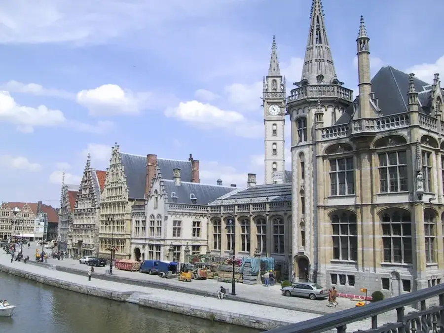
Ghent
Ghent is a prominent university city in Flanders featuring a well-preserved medieval center.
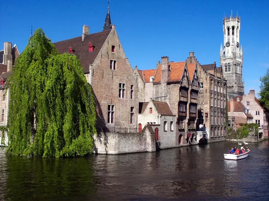
Bruges
Bruges is famous for its canals, cobbled streets, and medieval buildings.
Mons
Mons is a historic city in Wallonia and the cultural center of the Hainaut province.
Aalst
Aalst is a Flemish city on the Dender River, famous for its vibrant carnival.
La Louvière
La Louvière is an industrial city in the Hainaut province.
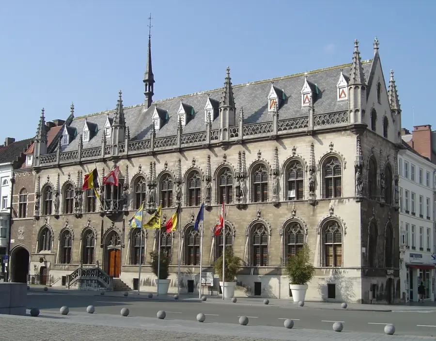
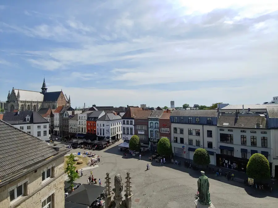
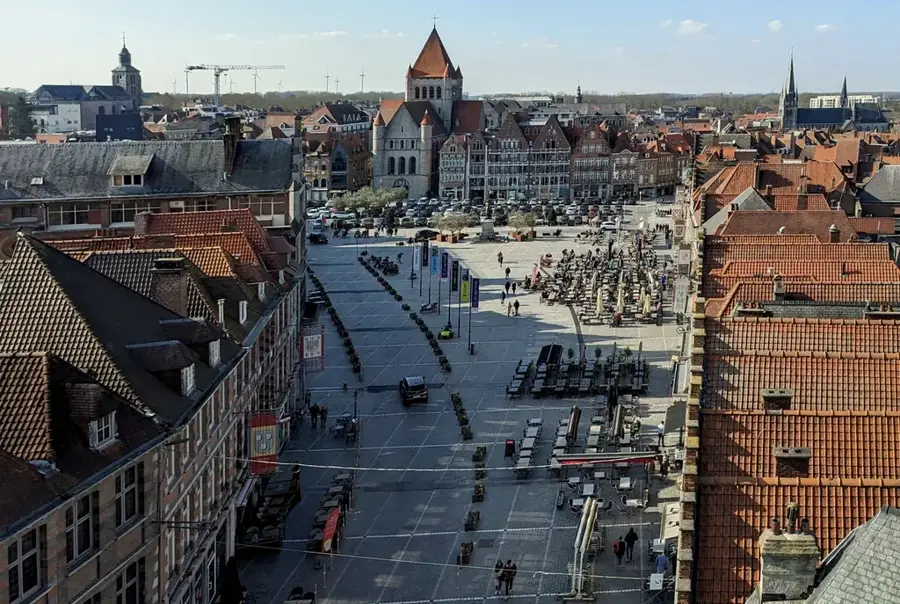
Kortrijk
Kortrijk is a historic city on the Leie River in West Flanders.
Tournai
Tournai is one of Belgium's oldest cities and was once the first capital of the Frankish Empire.
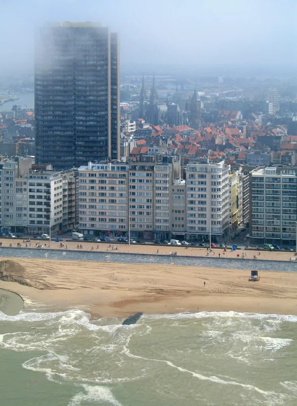
Ostend
Ostend is the largest city on the Belgian coast and a major seaport.
Sint-Niklaas
Sint-Niklaas is a Flemish city located between Antwerp and Ghent.
Roeselare
Roeselare is a Flemish city in the heart of West Flanders.
Mouscron
Mouscron is a city in Wallonia located right on the French border.
Dendermonde
Dendermonde is located at the confluence of the Dender and Scheldt rivers.
Beveren
Beveren is a municipality in the province of East Flanders.
Lokeren
Lokeren is a Flemish city on the Durme River.
Grimbergen
Grimbergen is located north of Brussels in Flemish Brabant.