Plizio Visual Lab
Kemmelberg
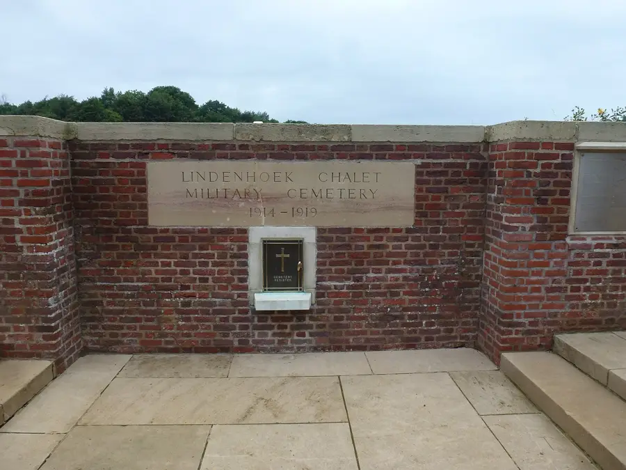
At 156 meters, the Kemmelberg is the highest point in the province of West Flanders and is located in the municipality of Heuvelland. Geologically, it is a witness hill (butte) formed by the erosion of surrounding sandy layers during the Tertiary period. The summit consists of a layer of ironstone, which provides the hill with its resistance to erosion. Historically, the Kemmelberg is of immense importance, as it was used as a fortified hilltop settlement by the Menapii as early as the Iron Age. During the First World War, the hill was a strategically crucial observation point and the site of fierce fighting, particularly during the Battle of the Lys in 1918. Today, a French monument known as the 'Ossuaire français' commemorates the thousands of soldiers who lost their lives here. In the sporting world, the Kemmelberg is famous as one of the most difficult climbs in the Gent-Wevelgem cycling classic, with its steep cobblestone sections reaching gradients of up to 23%. From the top, clear weather gives panoramic views over the Flemish polders to the French border. The hill is also surrounded by woodlands that are a popular destination for hikers and nature enthusiasts.
- Location: Belgium
- Top sights: Kemmelberg · Belvedèretoren · Lettenberg bunkers
- Nearby: Ypres (10 km)
Best time to visit & climate
The most pleasant time to visit is Jun–Aug.
| Jan | Feb | Mar | Apr | May | Jun | Jul | Aug | Sep | Oct | Nov | Dec | |
|---|---|---|---|---|---|---|---|---|---|---|---|---|
| Avg °C | 3 | 4 | 6 | 9 | 13 | 16 | 18 | 18 | 15 | 12 | 7 | 4 |
| Rain mm | 67 | 59 | 54 | 39 | 58 | 62 | 74 | 80 | 58 | 71 | 77 | 79 |
📋 Practical info
Geography
Facts
- At 156 meters, it is the highest summit in the province of West Flanders.
- Was the site of the bloody Battle of the Kemmelberg in April 1918.
- The hill served as a strategic fort for the Celts (Menapii).
- The steepest part of the climb features a gradient of 23%.
- A Cold War command bunker is located beneath the hill.
- Part of the hill chain of the Heuvelland region near the French border.
Explore nearby
Notable places around
Route planner — Car & Motorhome
Where do you start? We build the route here, with stops and country notes along the way.
© OpenStreetMap contributors · OpenRouteService
Sights in the town Kemmelberg (10)
Monteberg
Hill in Belgium, near the Kemmelberg.
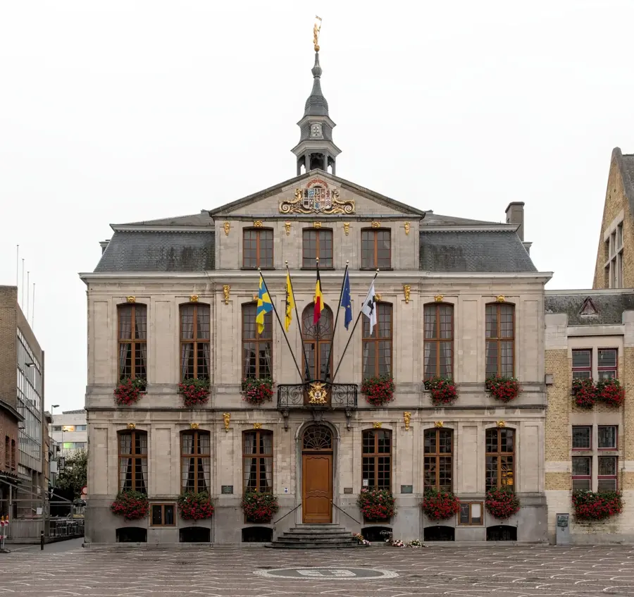
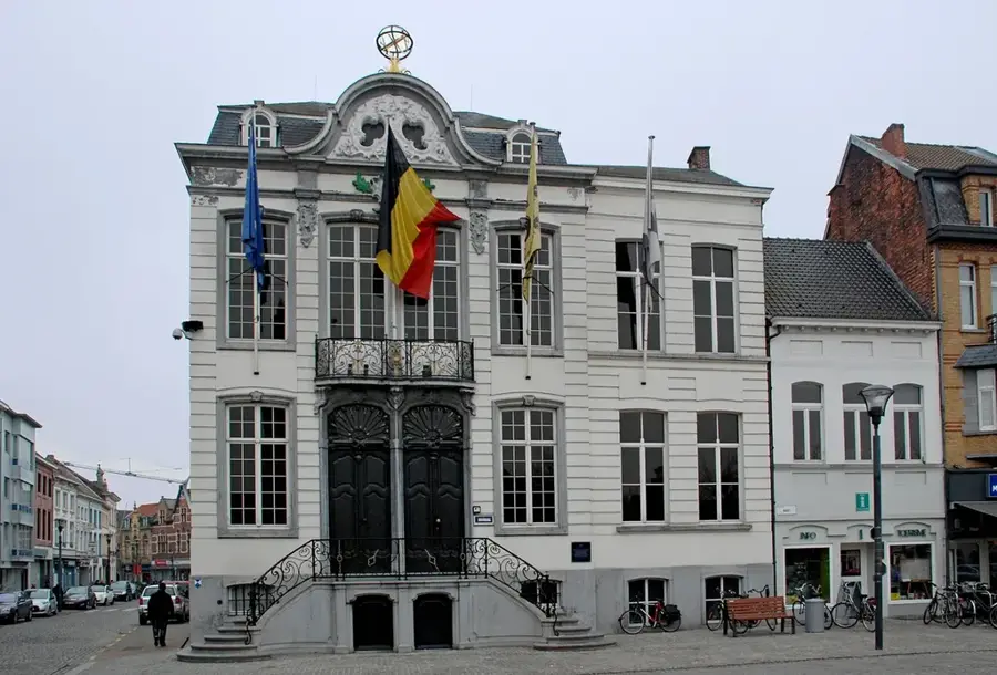
Kasteel De Warande
Castle in Kemmel, Belgium, now used as town hall.
Sint-Laurentiuskerk
Church in Belgium, dedicated to Saint Lawrence.
Sint-Jan Baptistkerk
Church in Dranouter, Belgium, dedicated to John the Baptist.
Het Klankpanorama
Viewpoint with sound installation on the Kemmelberg.
't Folk🏛 museum
Museum in Kemmel, displaying local history.
Sights nearby
Frequently asked questions
Why is the Kemmelberg famous among cyclists?
Are there traces from WWI there?
How high is the Kemmelberg?
What is the 'Kemmel Bunker'?
Can you see far from the summit?
Kemmelberg: where is it located?
Kemmelberg: what is there to see?
Kemmelberg: when is the best time to visit?
Kemmelberg: why is it worth visiting?

Nearby cities