Plizio Visual Lab
Mont de l'Enclus
Mont de l'Enclus, also known as Kluisberg, is a 141-meter-high hill located on the border between the Belgian provinces of Flanders and Wallonia. It forms part of the Flemish hill country and the Wallonian region of Picardy Wallonia. Geologically, the hill consists of Tertiary sand and clay layers, with the summit area protected from erosion by a resistant layer. The hill is almost entirely forested and features an extensive network of hiking trails and mountain bike routes that attract nature lovers from both regions. Historically, the area was the site of numerous border disputes, which is reflected today in its dual naming and cultural diversity. In the world of cycling, Mont de l'Enclus enjoys legendary status, frequently featuring in the Tour of Flanders route and offering several different climbs, each with varying degrees of difficulty. The village of Enclus du Haut is located on the southern slope and is a well-known tourist center with numerous gastronomic establishments. From the higher parts of the hill, one can see far across the Scheldt valley, which runs to the west of the hill. The forest on the Kluisberg is also known for its rich flora, including carpets of bluebells and wood anemones in the spring.
- Location: Belgium
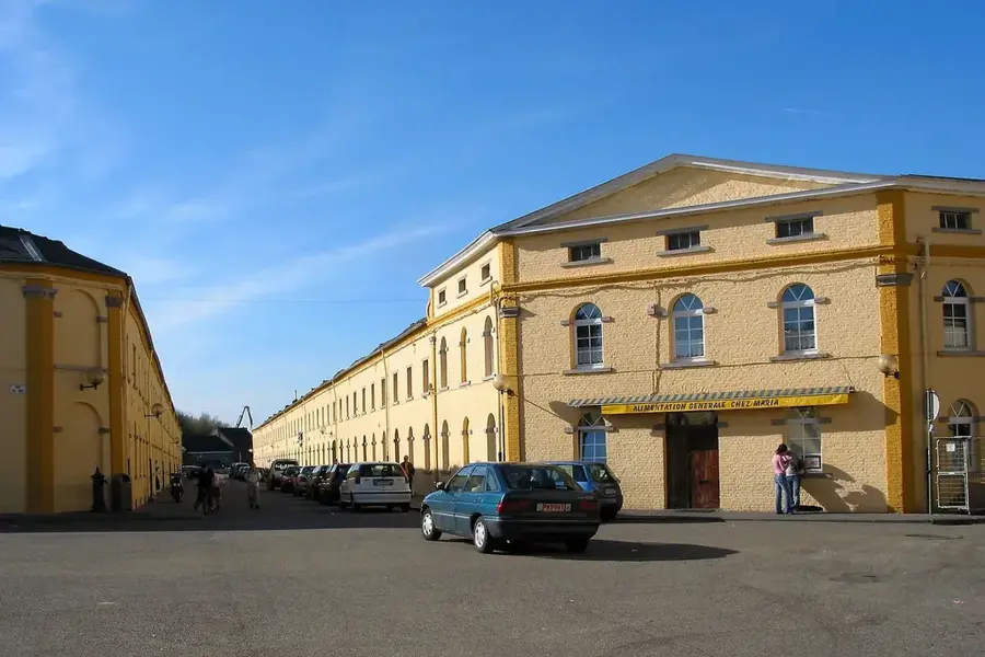
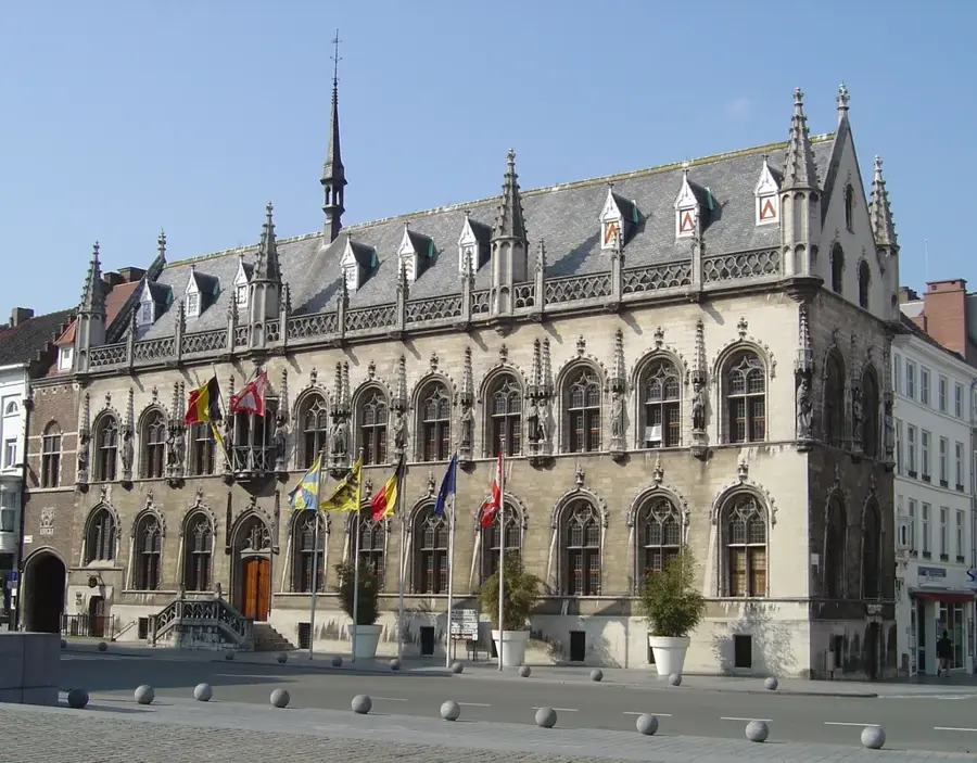
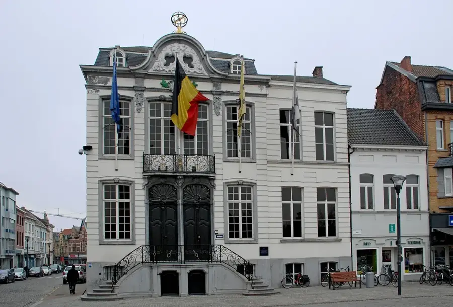
- Top sights: Église Saint-Brice · Kluisberg - Mont de l'Enclus · Kluisbos
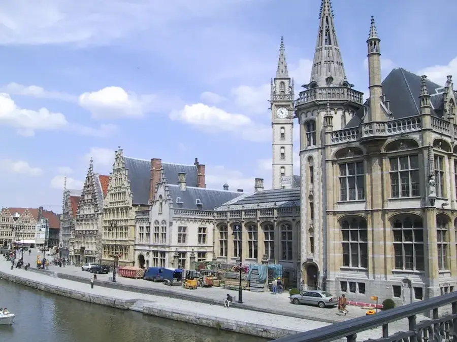
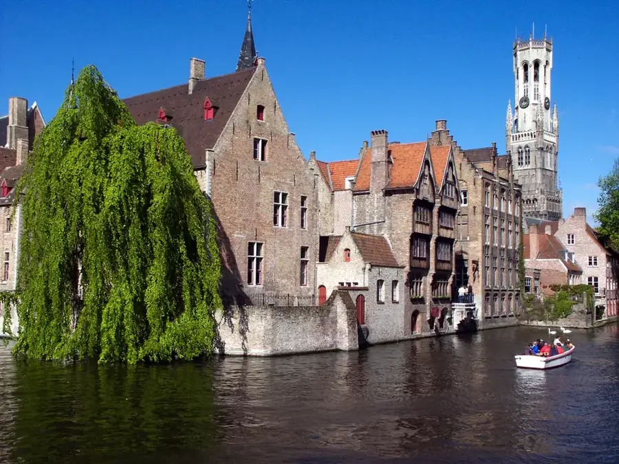
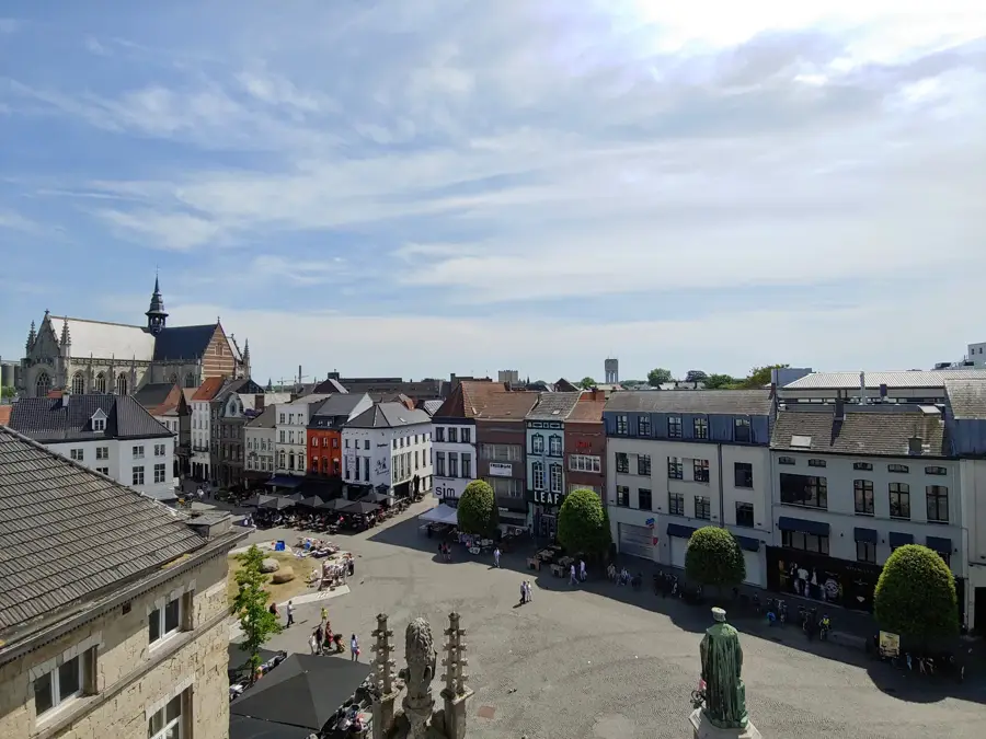
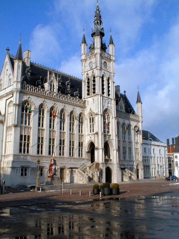
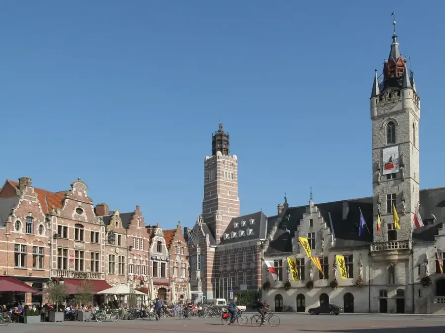
- Nearby: Ronse (8 km)
Best time to visit & climate
The most pleasant time to visit is Jun–Aug.
| Jan | Feb | Mar | Apr | May | Jun | Jul | Aug | Sep | Oct | Nov | Dec | |
|---|---|---|---|---|---|---|---|---|---|---|---|---|
| Avg °C | 3 | 3 | 6 | 10 | 13 | 16 | 18 | 18 | 15 | 11 | 7 | 3 |
| Rain mm | 66 | 59 | 56 | 41 | 59 | 63 | 70 | 76 | 53 | 63 | 70 | 76 |
📋 Practical info
Geography
Facts
- The summit reaches a maximum height of 141 meters.
- Marks the official linguistic border between Flanders and Wallonia.
- The Kluisbos forest comprises about 125 hectares of nature reserve.
- The 'Orroir' climb is one of the most famous cycling passages.
- From the viewpoint, the city of Tournai is visible in the distance.
- Houses a large recreational center with hiking and climbing parks.
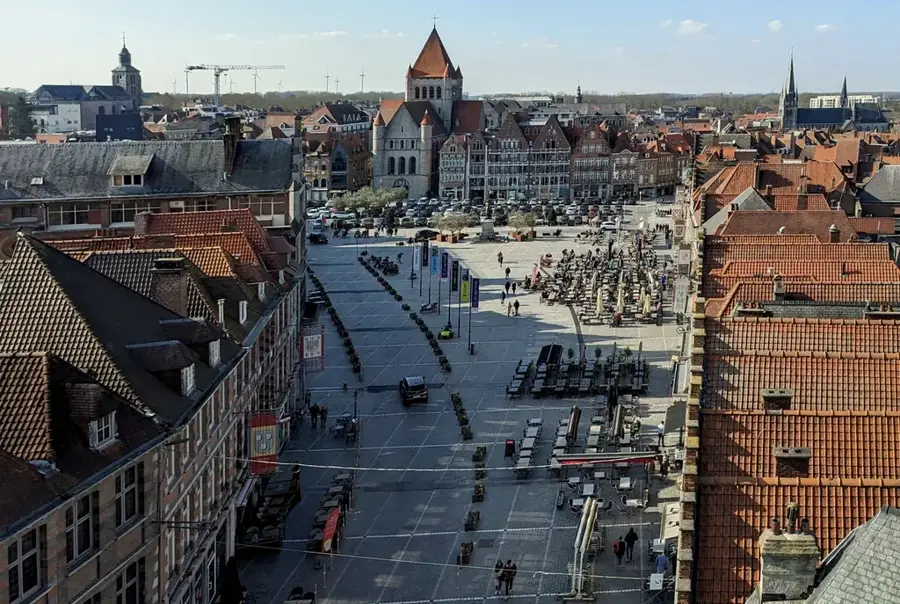
Explore nearby
Notable places around
Route planner — Car & Motorhome
Where do you start? We build the route here, with stops and country notes along the way.
© OpenStreetMap contributors · OpenRouteService
Sights in the town Mont de l'Enclus (5)
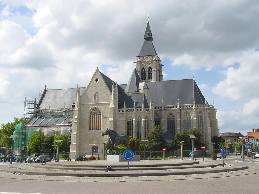
Sint-Corneliuskerk
Church in Ruien, Belgium, dedicated to Saint Cornelius.
Sights nearby
Frequently asked questions
Where is Mont-de-l'Enclus located?
Is it popular among hikers?
Are there restaurants on the hill?
Are there play areas for children?
Is the hill interesting for cyclists?
Mont de l'Enclus: where is it located?
Mont de l'Enclus: what is there to see?
Mont de l'Enclus: when is the best time to visit?
Mont de l'Enclus: why is it worth visiting?

Nearby cities