Plizio Visual Lab
Kanarieberg
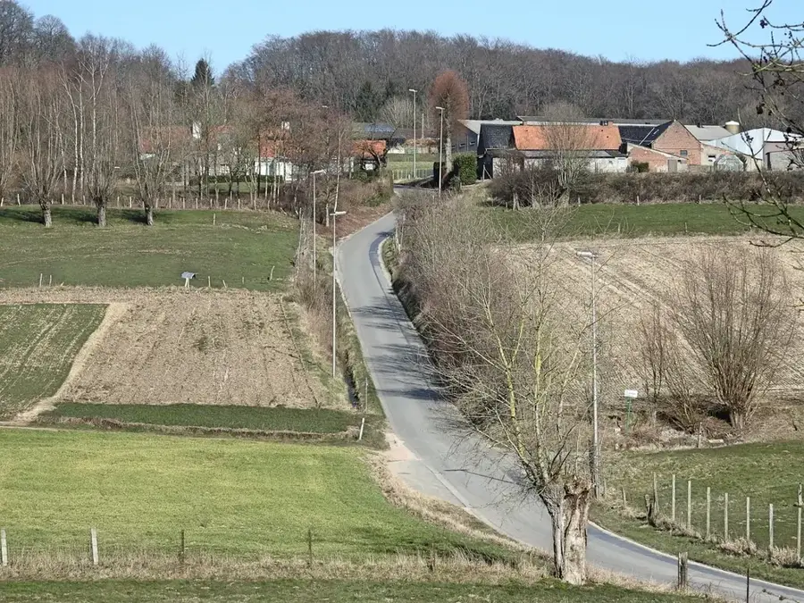
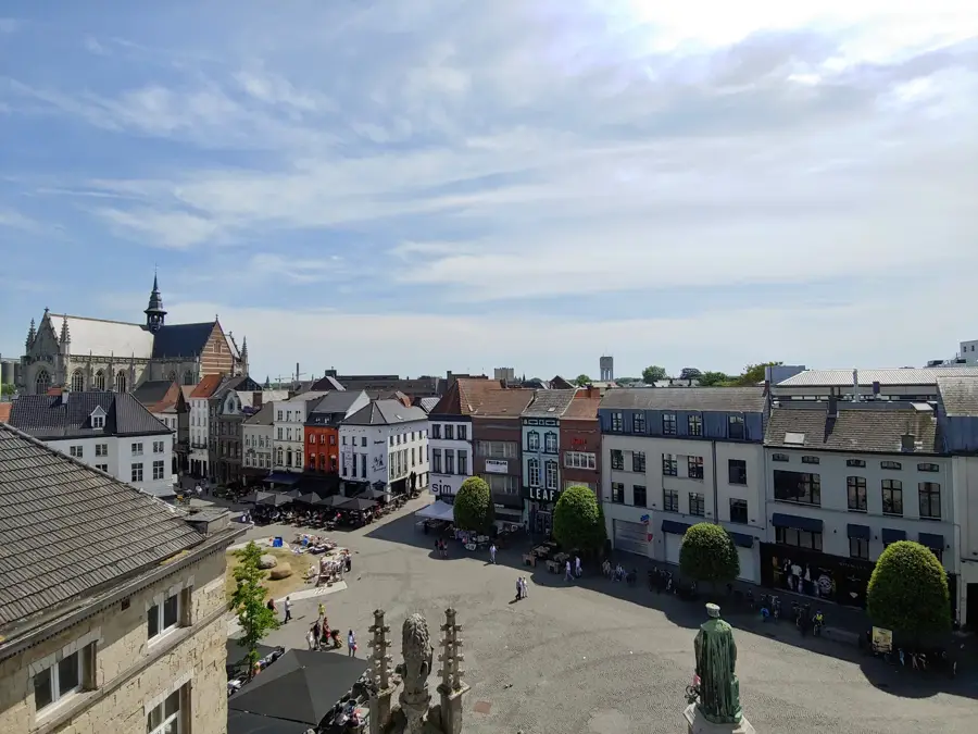
The Kanarieberg is a significant hill in the Flemish Ardennes, located near the town of Ronse in East Flanders. Reaching an elevation of 126 meters, it features a steady climb of approximately one kilometer with a maximum gradient of 14%. The hill is adjacent to the Muziekbos (Music Wood), an ancient woodland famous for its bluebells and prehistoric burial mounds dating back to the Bronze Age. Its name, 'Canary Mountain,' is derived from the local canary breeders who were active in the area during the 19th century. Geologically, the hill is an erosion relic composed of tertiary sands, which support the dense beech forests covering its slopes. In the world of professional cycling, the Kanarieberg is a key feature in the Dwars door Vlaanderen classic, often serving as a launchpad for decisive breakaway attempts. The area is highly valued by hikers for its well-marked trails and the tranquil atmosphere of the surrounding forest. From the summit, one can enjoy expansive views over the Ronse valley and the rolling hills of the neighboring Walloon region.
- Location: Belgium
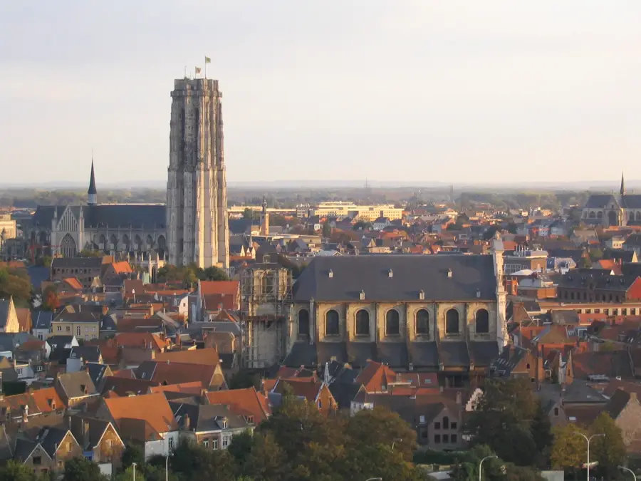
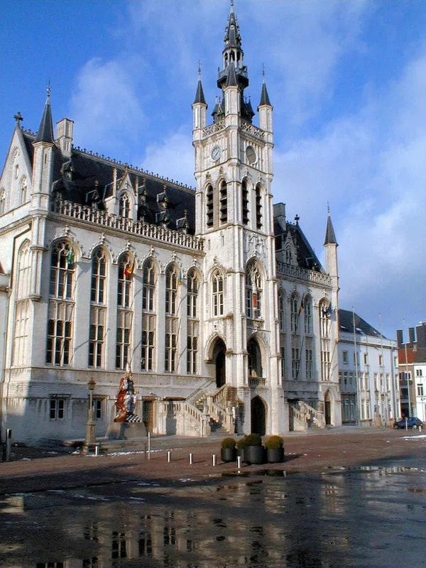
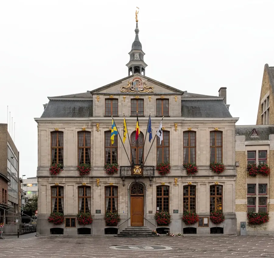
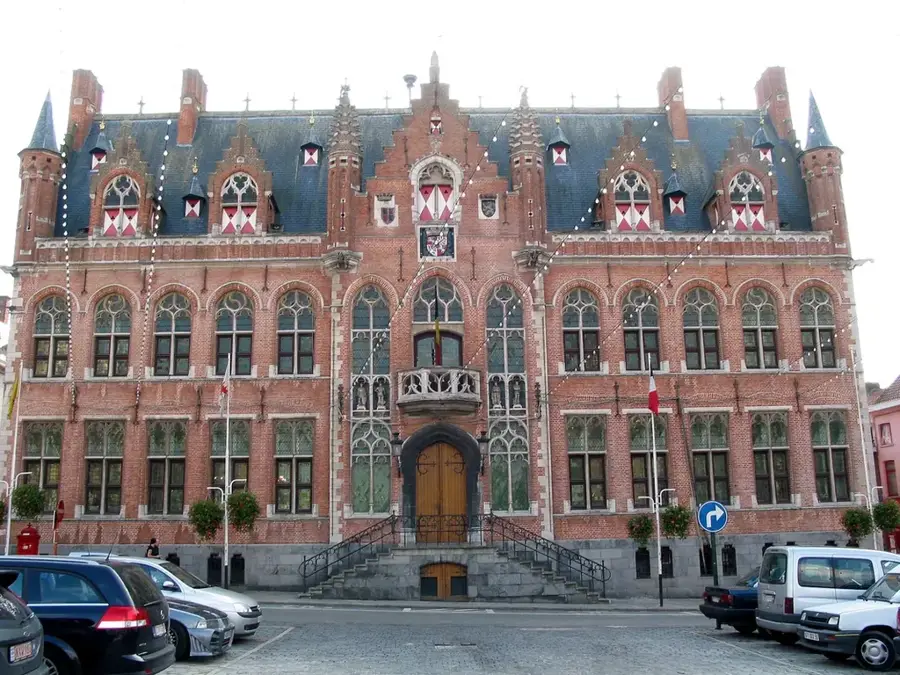
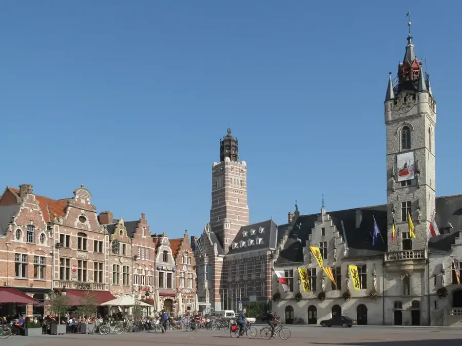
- Top sights: Onze-Lieve-Vrouw van La Salettekerk · Muziekbos · Geuzentoren
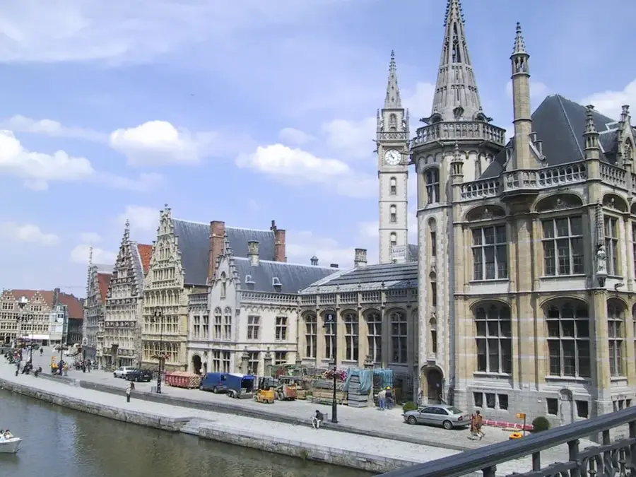
- Nearby: Oudenaarde (8 km)
Best time to visit & climate
The most pleasant time to visit is Jun–Aug.
| Jan | Feb | Mar | Apr | May | Jun | Jul | Aug | Sep | Oct | Nov | Dec | |
|---|---|---|---|---|---|---|---|---|---|---|---|---|
| Avg °C | 3 | 3 | 6 | 10 | 13 | 16 | 18 | 18 | 15 | 11 | 7 | 4 |
| Rain mm | 69 | 60 | 55 | 38 | 59 | 64 | 76 | 81 | 57 | 67 | 73 | 79 |
📋 Practical info
Geography
Facts
- Elevation: 126 meters
- Average gradient: 7.7%
- Maximum gradient: 14%
- Location: Near the Muziekbos in Ronse
- Cycling: Key climb in Dwars door Vlaanderen
- Heritage: Site of prehistoric Bronze Age burial mounds
Explore nearby
Notable places around
Route planner — Car & Motorhome
Where do you start? We build the route here, with stops and country notes along the way.
© OpenStreetMap contributors · OpenRouteService
Sights in the town Kanarieberg (10)
Kanarieberg - Mont Canarie
Kanarieberg (Mont Canarie) is a hill in Belgium.
Brembosmolen
Brembosmolen is a watermill in Ronse, Belgium.
Sint-Pietersbos
Sint-Pietersbos is a forest near Ronse.
Kapel Lorette
Kapel Lorette is a chapel in Ronse, Belgium.
Molen Ter Hengst
Molen Ter Hengst is a windmill in Nukerke, Belgium.
Taaienberg
Taaienberg is a hill in Belgium.
Sights nearby
Frequently asked questions
Why is the hill called Kanarieberg?
In which forest is the Kanarieberg located?
How difficult is the climb for cyclists?
Are there hiking trails nearby?
Is there a cafe at the summit?
Kanarieberg: where is it located?
Kanarieberg: what is there to see?
Kanarieberg: when is the best time to visit?
Kanarieberg: why is it worth visiting?

Nearby cities