Plizio Visual Lab
Kempener Ridge
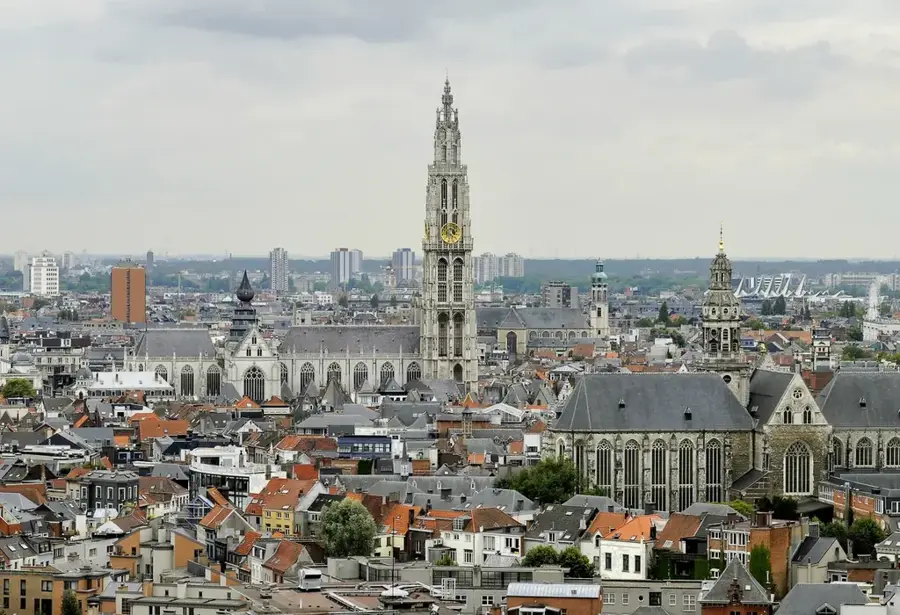
The Kempener Ridge, known as the Kempense Heuvelrug, is a prominent glacial relic landscape in northern Belgium, spanning the provinces of Antwerp and Limburg. Geologically, it consists of a series of Pleistocene dunes and morainic formations characterized by their sandy composition. A distinctive feature is the presence of iron sandstone, which was historically quarried and used as a local building material for churches and monumental structures in the region. The ridge's highest points reach about 40 meters above sea level, providing a significant topographical contrast to the otherwise flat Campine plain. The vegetation is dominated by pine forests and heathlands, which thrive on the nutrient-poor sandy soils. Historically, the area remained sparsely populated for centuries and was only developed through modern forestry and tourism in the recent past. Today, the ridge is a protected natural area and serves as a crucial reservoir for local biodiversity.
- Location: Belgium
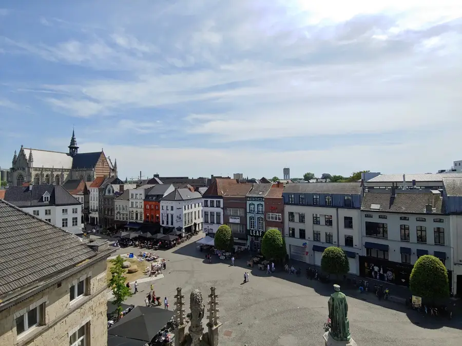
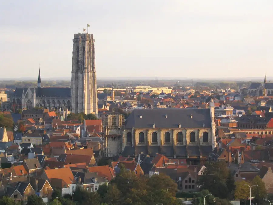
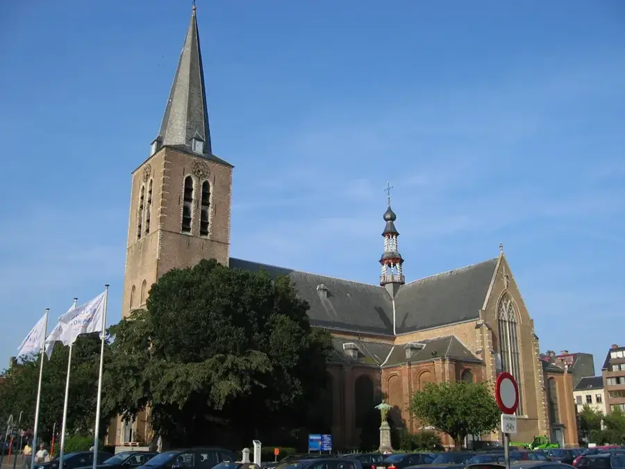
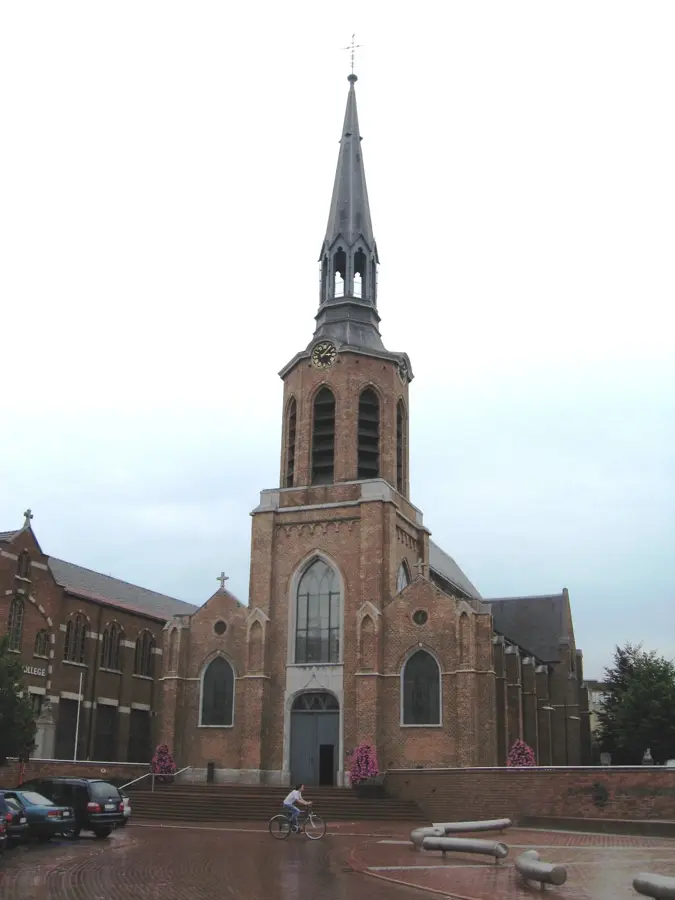
- Top sights: Molen van Larum · Onze-Lieve-Vrouw Bezoekingskerk · G E E L
- Nearby: Herentals (8 km)
Best time to visit & climate
The most pleasant time to visit is Jun–Aug.
| Jan | Feb | Mar | Apr | May | Jun | Jul | Aug | Sep | Oct | Nov | Dec | |
|---|---|---|---|---|---|---|---|---|---|---|---|---|
| Avg °C | 2 | 3 | 6 | 10 | 14 | 17 | 19 | 18 | 15 | 11 | 7 | 3 |
| Rain mm | 69 | 62 | 56 | 40 | 60 | 63 | 74 | 79 | 54 | 61 | 68 | 77 |
📋 Practical info
Geography
Facts
- The highest point of the Kempener Ridge is approximately 40 meters above sea level.
- Iron sandstone was formed by the oxidation of glauconite millions of years ago.
- The region underwent extensive pine reforestation during the 19th century.
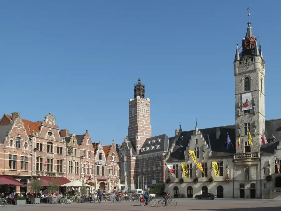
- Kasterlee is one of the most well-known towns situated along the ridge.
- The sand formations mostly date back to the Würm glacial period.
- The area acts as a drainage divide between several small local streams.
Explore nearby
Notable places around
Route planner — Car & Motorhome
Where do you start? We build the route here, with stops and country notes along the way.
© OpenStreetMap contributors · OpenRouteService
Sights in the town Kempener Ridge (7)
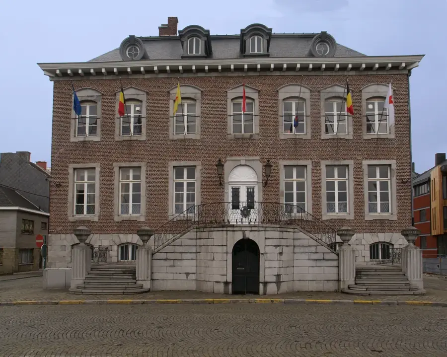
G E E L
Art installation or location in Geel, Belgium.
Kunsthuis Yellow Art
Arts centre in Geel, Belgium.
't Geels Volkstoneel
Theatre in Geel, Belgium.
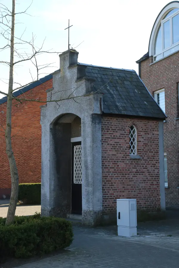
Onze-Lieve-Vrouw-Lelie-tusen-de-Doornenkapel
Devotional and pilgrimage chapel in Geel, Belgium.
Gallery L.o.L.a.
Gallery in Geel, Belgium.
Sights nearby
Frequently asked questions
What are the most popular activities at the Kempener Hügelrücken?
How high is the highest point in this region?
Is the area suitable for families with children?
When is the best time to visit the Kempener Hügelrücken?
Are there parking facilities for visitors?
Kempener Ridge: where is it located?
Kempener Ridge: what is there to see?
Kempener Ridge: when is the best time to visit?
Kempener Ridge: why is it worth visiting?

Nearby cities