Plizio Visual Lab
Pambak Mountains
Weather…
Water temperature…
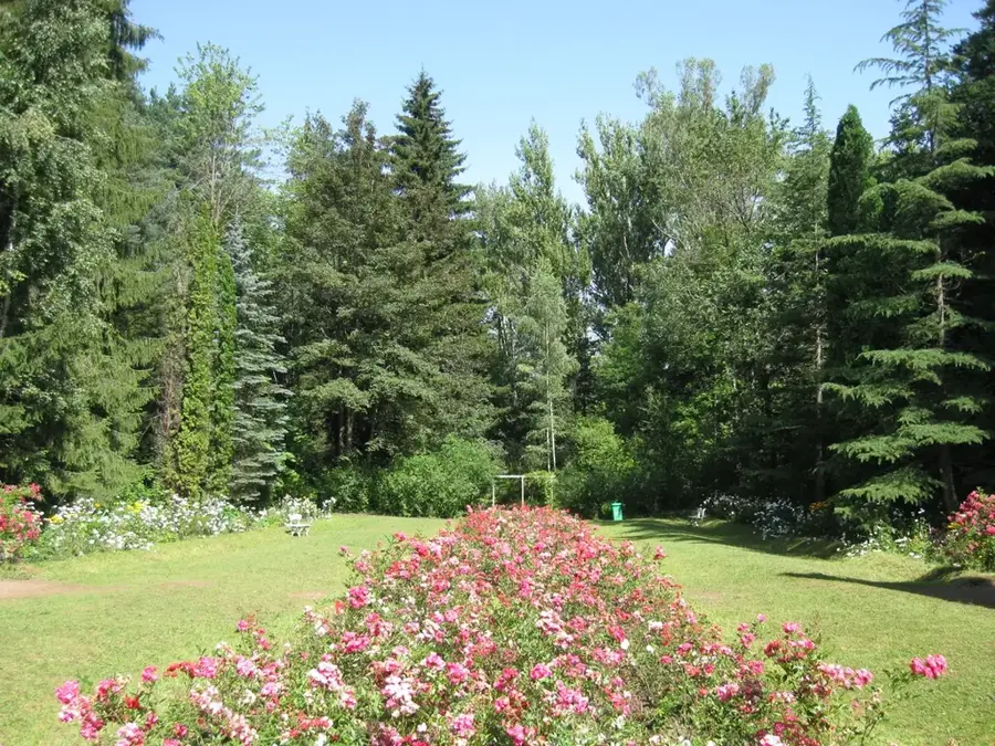
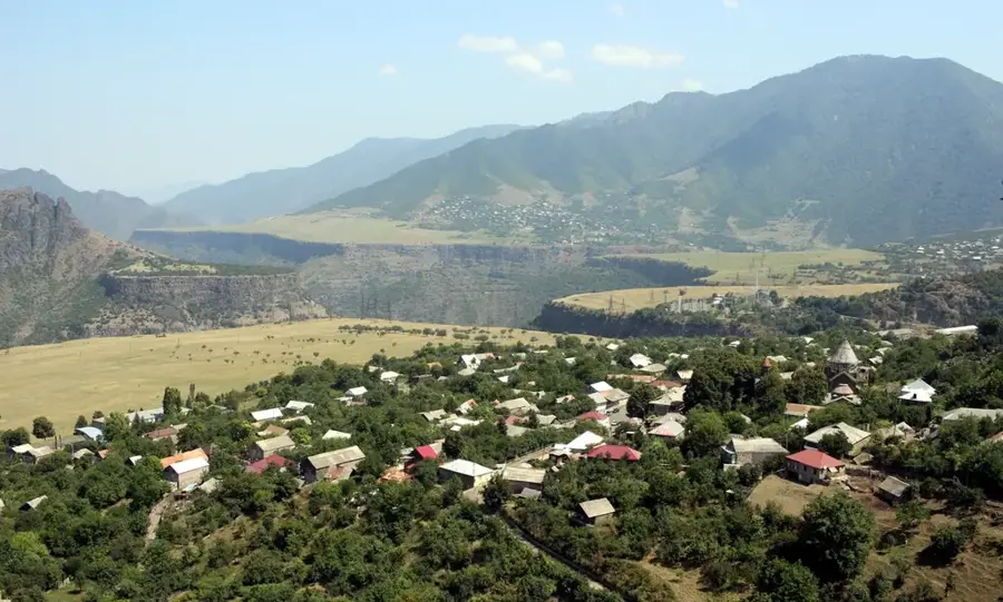
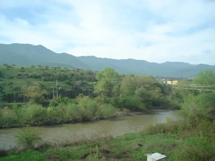
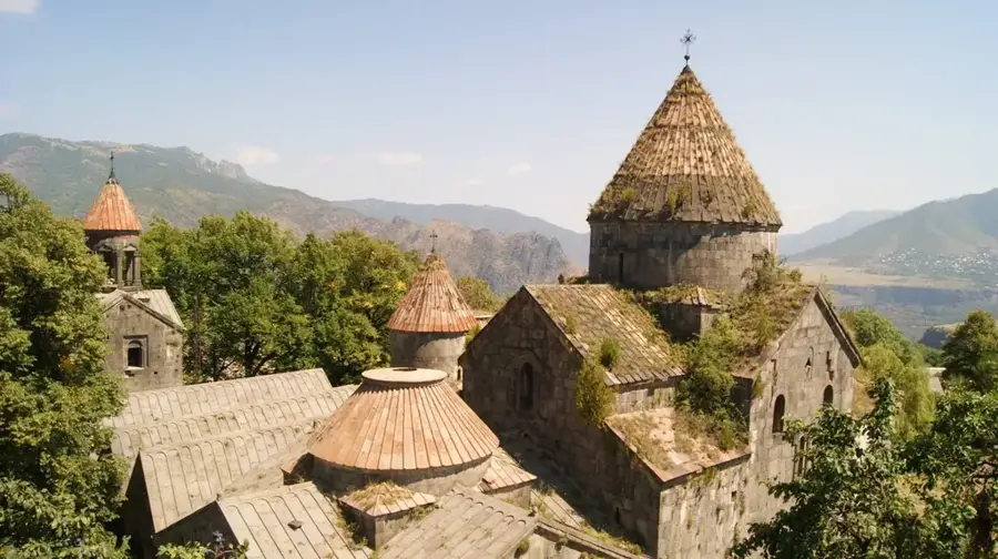
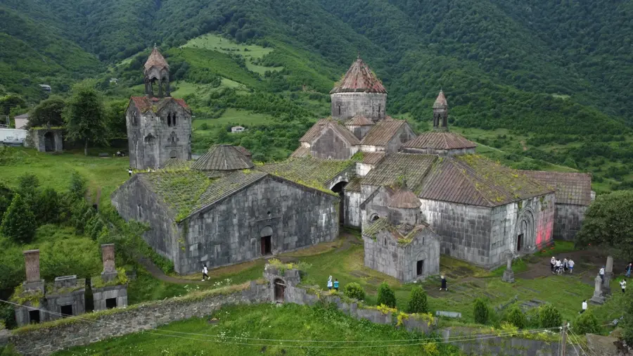
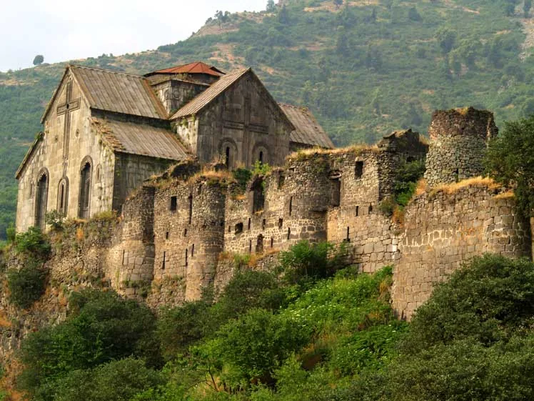
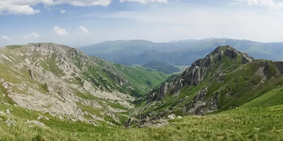
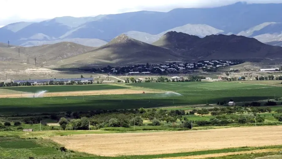
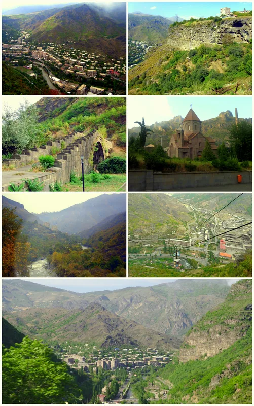
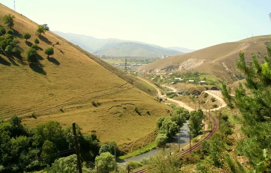
The Pambak Mountains are a significant range in northern Armenia, stretching for about 100 kilometers from the city of Gyumri to Lake Sevan. This range separates the Lori and Kotayk provinces and acts as a major climatic divide within the country. The highest peak is Tezh Ler, reaching an elevation of 3101 meters. Geologically, it is a fold-block mountain system composed of both igneous and sedimentary rocks. The northern slopes are densely forested with oak and beech trees, while the southern slopes feature drier mountain steppes. The range is the source of the Pambak and Aghstev rivers, which flow through deep and fertile valleys. The region is well-known for its abundant mineral water springs and health resorts, such as Hankavan. Historically, the Pambak range served as a natural defensive barrier against northern invasions and remains a popular area for hiking and ecological exploration today.
- Location: Armenia
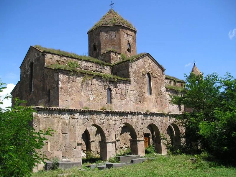
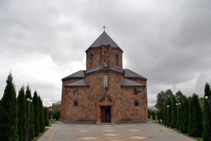
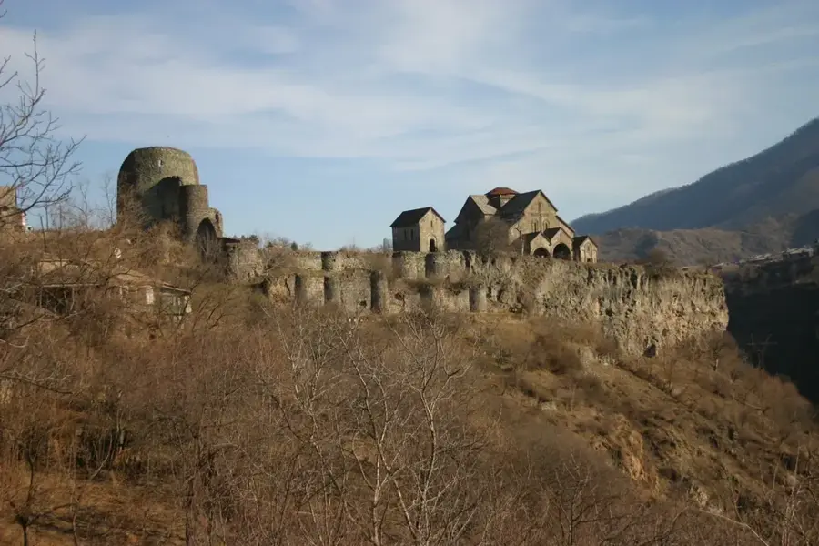
- Top sights: Njuyg · Spitak · Berd t`agh
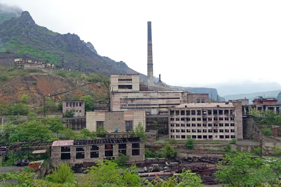
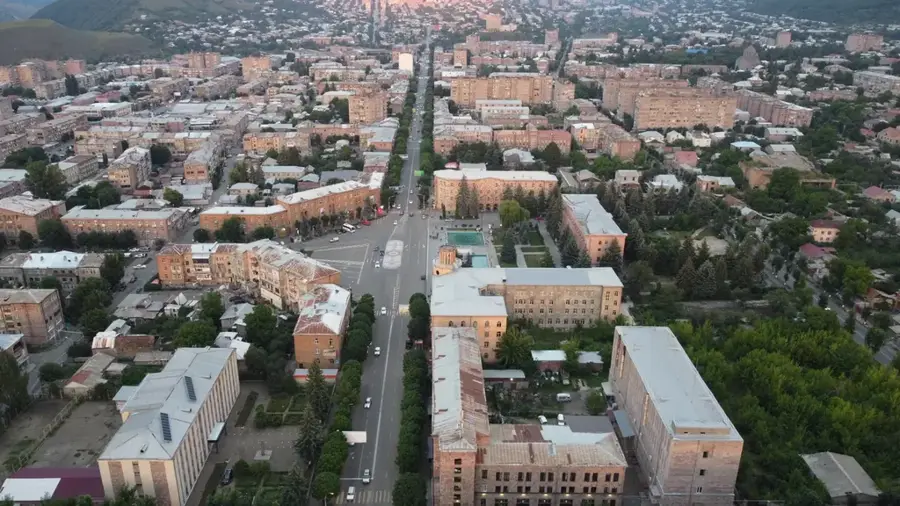
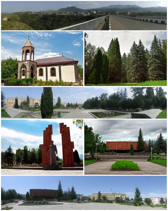
- Nearby: Vanadzor (10 km)
Best time to visit & climate
The most pleasant time to visit is Jul–Sep.
| Jan | Feb | Mar | Apr | May | Jun | Jul | Aug | Sep | Oct | Nov | Dec | |
|---|---|---|---|---|---|---|---|---|---|---|---|---|
| Avg °C | -5 | -3 | 2 | 6 | 12 | 16 | 19 | 18 | 15 | 9 | 2 | -3 |
| Rain mm | 23 | 19 | 29 | 55 | 64 | 57 | 32 | 30 | 23 | 38 | 24 | 23 |
📋 Practical info
Geography
Facts
- The mountain range spans about 100 km.
- Tezh Ler is the highest peak at 3101 m.
- Forms the border between Lori and Kotayk provinces.
- Source of the Pambak and Aghstev river systems.
- Famous for its mineral springs and resort towns.
- Northern slopes are covered in oak and beech forests.
Explore nearby
Notable places around
Route planner — Car & Motorhome
Where do you start? We build the route here, with stops and country notes along the way.
© OpenStreetMap contributors · OpenRouteService
Sights in the town Pambak Mountains (9)
Sights nearby
Frequently asked questions
Who are the Pambak Mountains good for?
When is the best hiking season?
How strenuous are the hikes?
Are there water sources and infrastructure?
Is the area worth it for nature photography?
Pambak Mountains: where is it located?
Pambak Mountains: what is there to see?
Pambak Mountains: when is the best time to visit?
Pambak Mountains: why is it worth visiting?

Nearby cities
History & landmarks
Nature

More places