Plizio Visual Lab
Lori Plateau
Weather…
Water temperature…
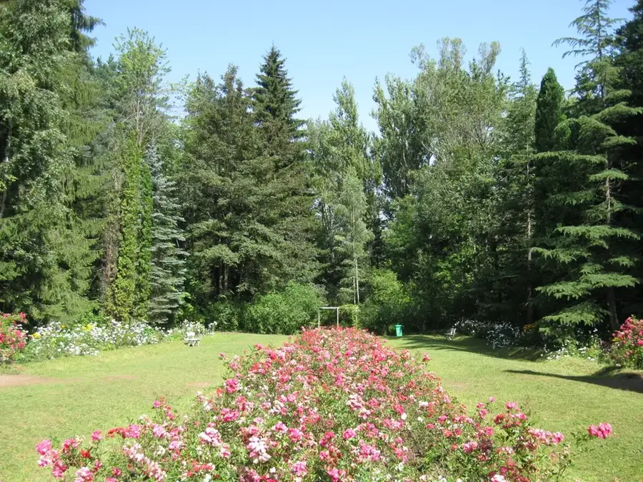
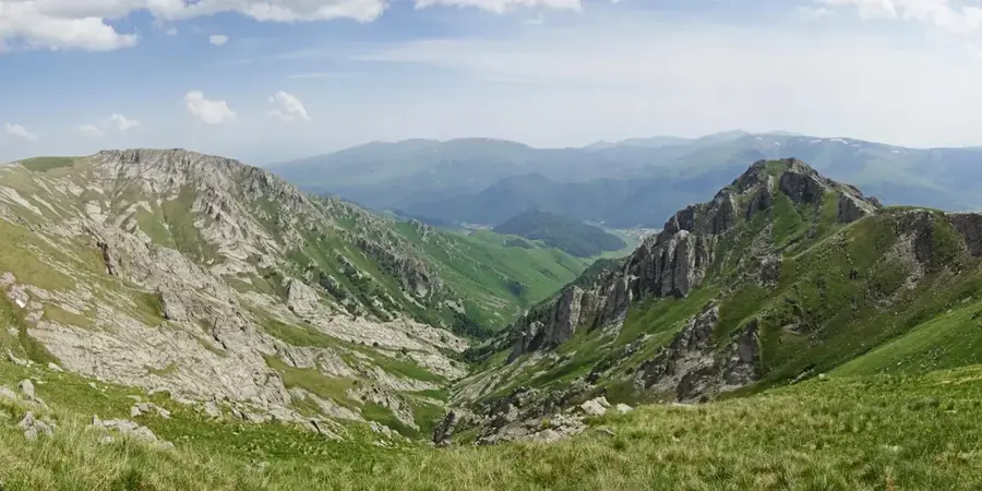
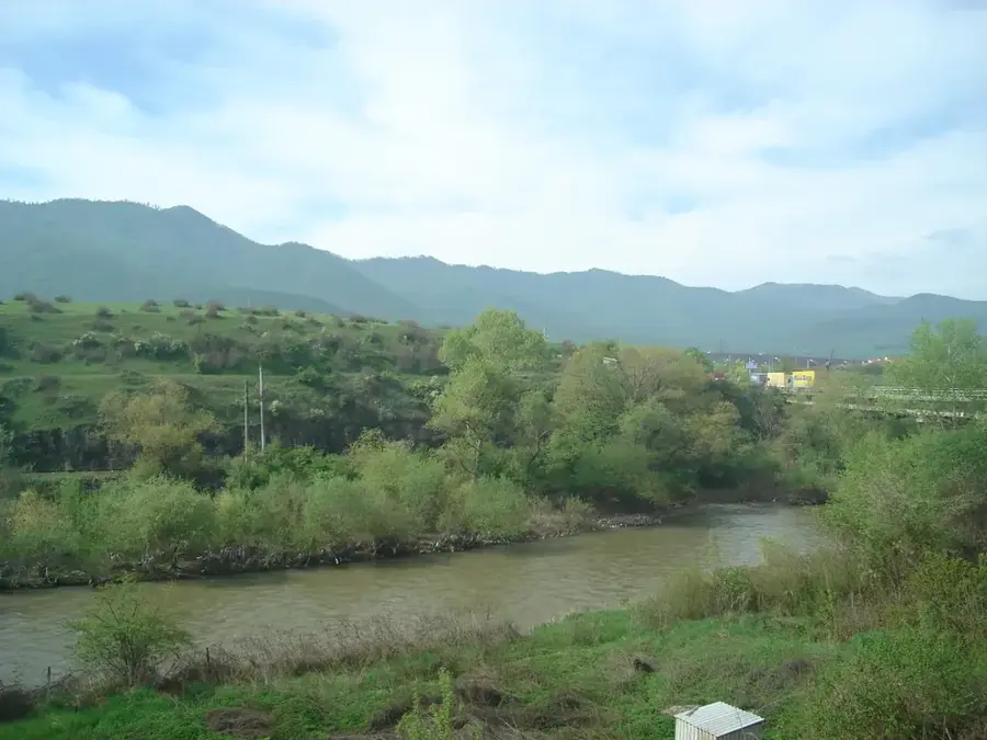
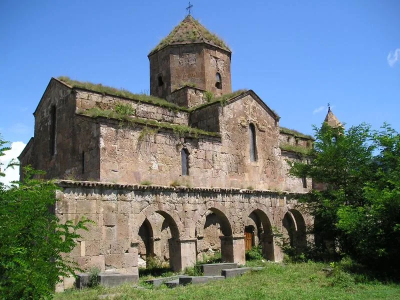
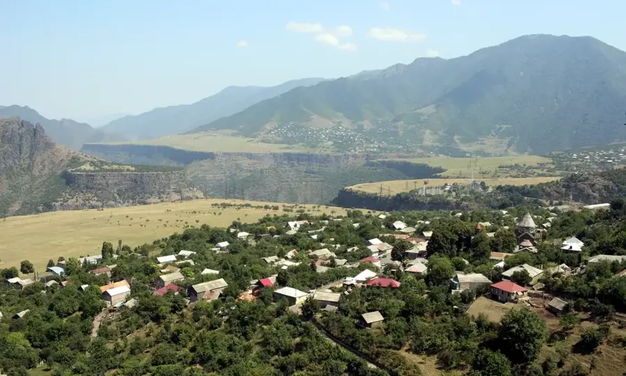
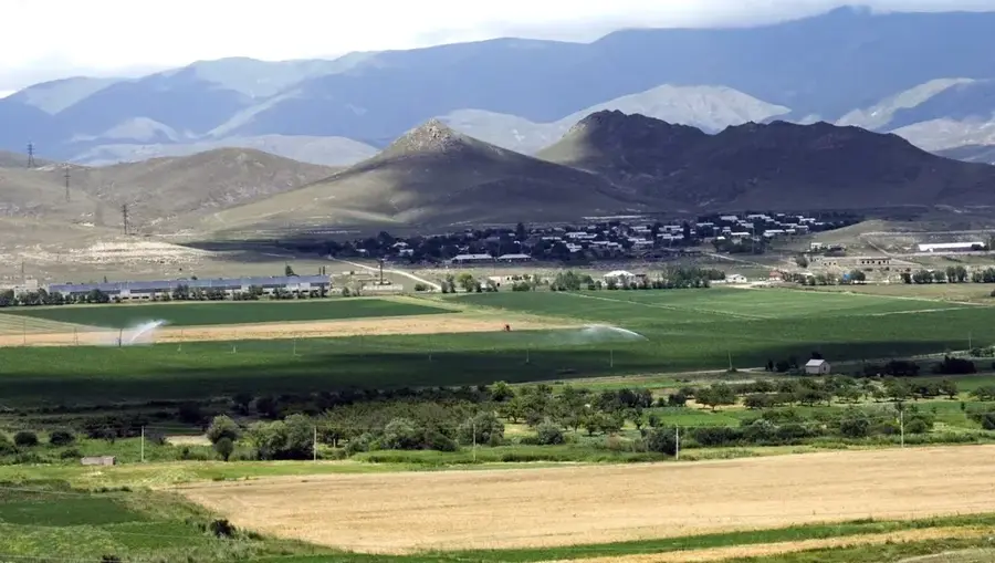
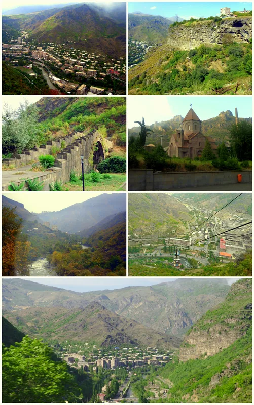
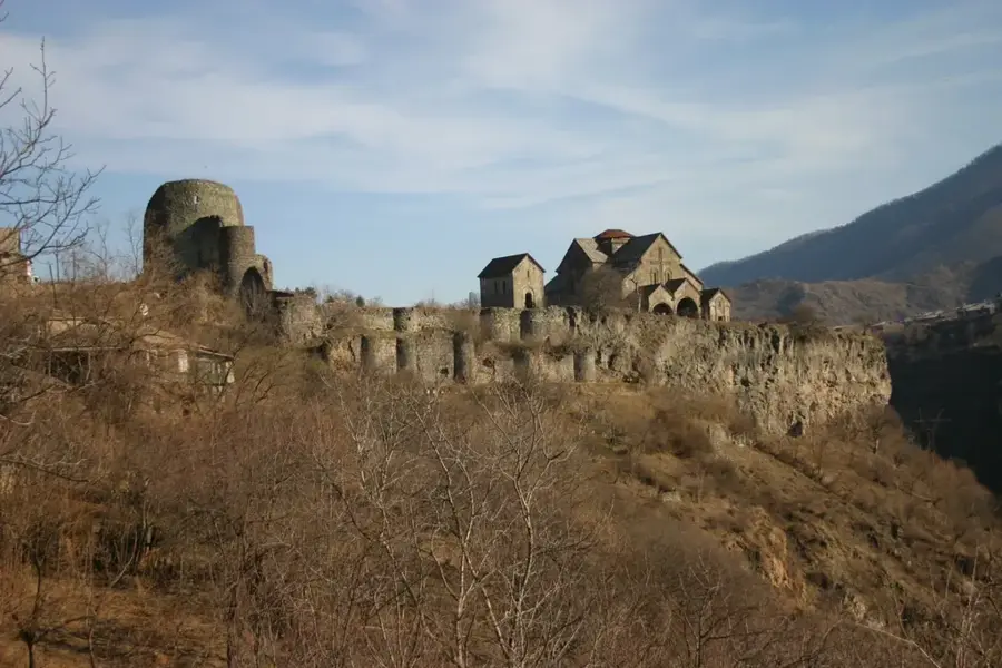
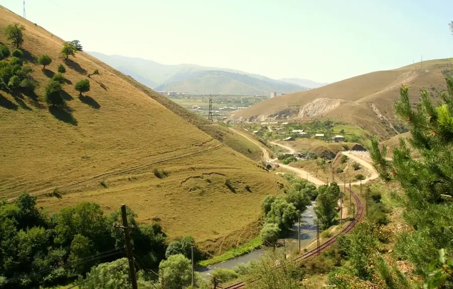
The Lori Plateau in northern Armenia is an expansive, undulating high plateau of volcanic origin, renowned for its lush greenery and dramatic river gorges. Positioned at elevations between 1,300 and 1,600 meters, the plateau is framed by the Javakheti, Bazum, and Pambak mountain ranges. Geologically, the plateau consists of lava sheets through which the Debed, Dzoraget, and Pambak rivers have carved deep, spectacular canyons. This sharp contrast between flat grazing lands and sudden, steep precipices defines the region's topography. Historically, the plateau was the heart of the medieval Kingdom of Lori, with its capital, Lori Berd, standing as a testament to its former glory. The region is characterized by alpine meadows, dense forests, and numerous mineral springs, making it a hub for agriculture and ecological tourism. The climate is notably cooler and more humid than in central Armenia, sustaining a diverse range of flora and fauna. The Lori Plateau remains one of the country's most photogenic regions, blending wild natural beauty with ancient Armenian history.
- Location: Armenia
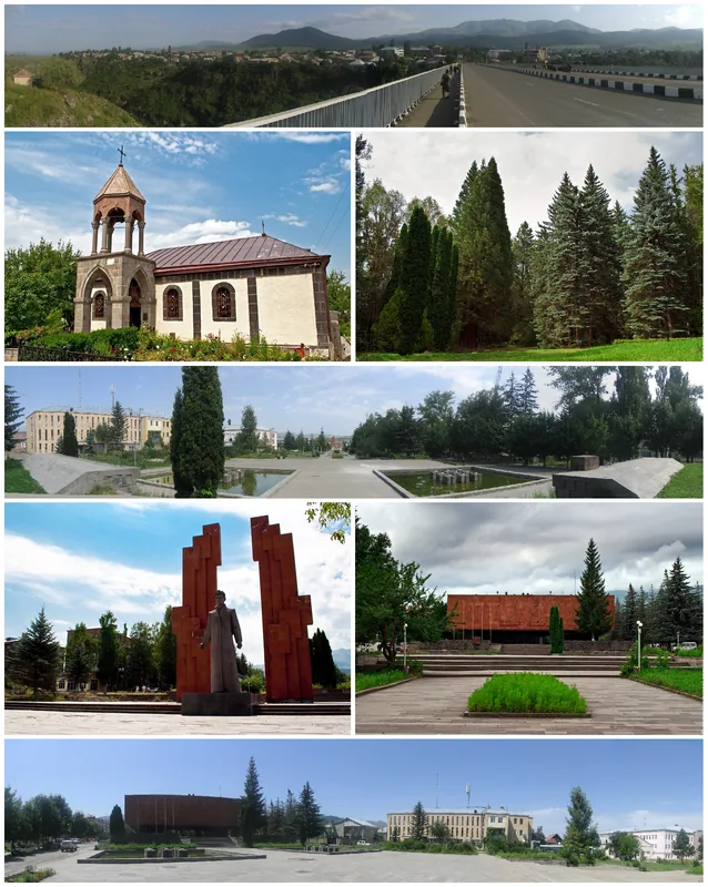
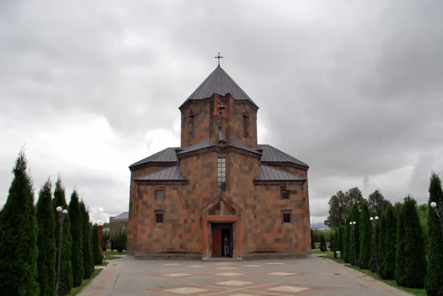
- Top sights: tserkov' Nikolaia Chudotvortsa · Getnandzav k`arandzav · Arjasar
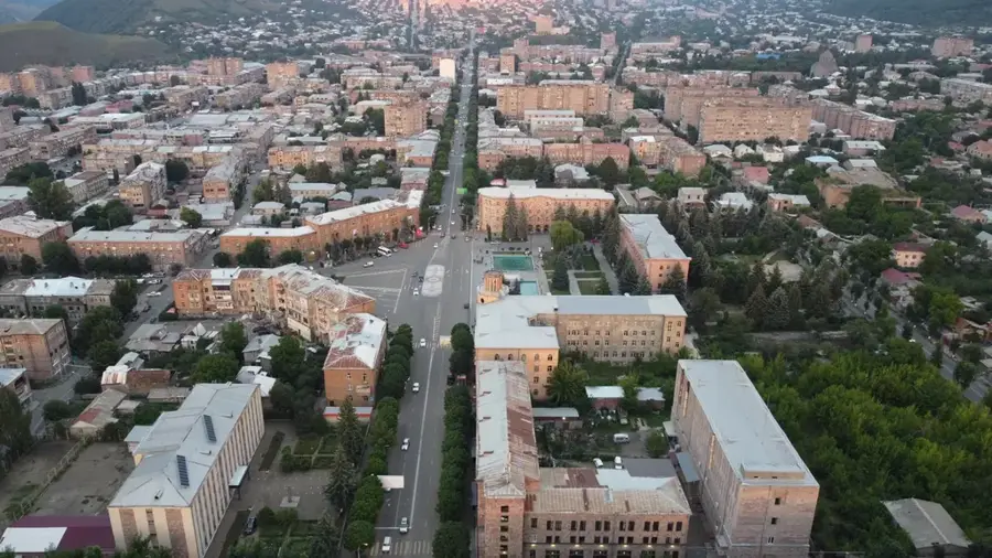
- Nearby: Tashir (16 km)
Best time to visit & climate
The most pleasant time to visit is Jul–Sep.
| Jan | Feb | Mar | Apr | May | Jun | Jul | Aug | Sep | Oct | Nov | Dec | |
|---|---|---|---|---|---|---|---|---|---|---|---|---|
| Avg °C | -5 | -3 | 2 | 6 | 12 | 16 | 19 | 18 | 15 | 9 | 2 | -3 |
| Rain mm | 23 | 19 | 29 | 55 | 64 | 57 | 32 | 30 | 23 | 38 | 24 | 23 |
📋 Practical info
Geography
Facts
- The Lori Plateau sits at an average elevation of 1,450 meters.
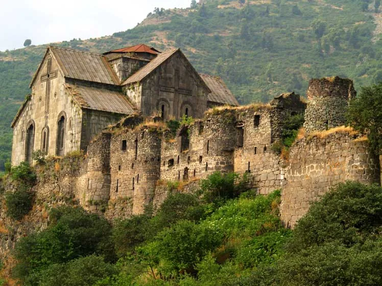
- Lori Berd fortress was established in the 11th century by the Tashir-Dzoraget kings.
- The Stepanavan Dendropark is the first arboretum in Armenia, covering 35 hectares.
- The plateau is bisected by the Dzoraget River, creating a 200-meter deep gorge.
- The region is famous for its 'Lori' cheese and organic honey production.
- Lava flows from the Javakheti range formed the plateau's geological base millions of years ago.
Explore nearby
Notable places around
Route planner — Car & Motorhome
Where do you start? We build the route here, with stops and country notes along the way.
© OpenStreetMap contributors · OpenRouteService
Sights in the town Lori Plateau (11)
Sights nearby
Frequently asked questions
What is the Lori Plateau?
When is the best time to visit?
How much time should you plan?
Is the area good for a road trip?
What is interesting about the plateau scenery?
Lori Plateau: where is it located?
Lori Plateau: what is there to see?
Lori Plateau: when is the best time to visit?
Lori Plateau: why is it worth visiting?

Nearby cities
History & landmarks
Nature

More places